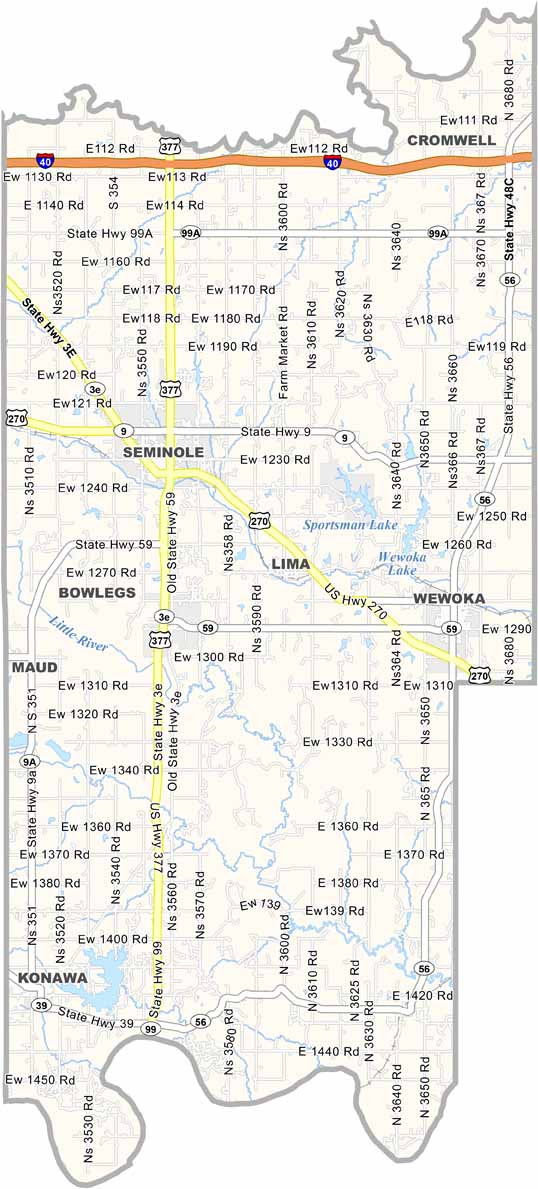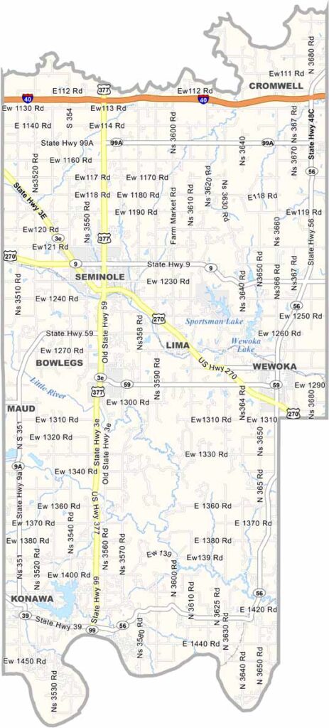
Seminole County Map, Oklahoma

Seminole County, Oklahoma

Seminole County sits in central Oklahoma. You might not expect much from a small county in east-central Oklahoma, but Seminole County has plenty of stories to tell. Back in the 1920s, it was oil country, and the rush for black gold hit hard.

The oil boom is long gone, but the county is still going strong. Seminole is the largest town and has a modest downtown with plenty of character. Wewoka serves as the county seat.

The landscape blends prairies and woodlands, giving the area its own kind of beauty. Farming is important today, especially cattle ranching. The Seminole Nation Museum is worth visiting for anyone interested in history. Tornadoes also occur here from time to time, as the county lies within Tornado Alley.
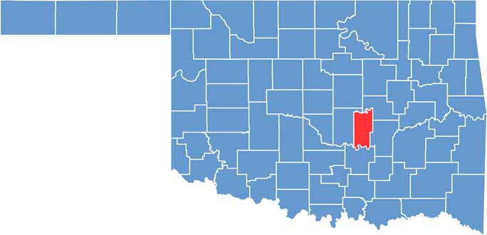

Location map of Seminole County, Oklahoma
CategoryDetails
County NameSeminole County
County SeatWewoka
EtymologyNamed after the Seminole Native American tribe
Cities, Towns, and CommunitiesWewoka, Seminole, Maud, Konawa, Bowlegs, Lima, Sasakwa
Interstates and HighwaysU.S. Highway 270, State Highway 3E, State Highway 56, State Highway 99
FIPS Code40-133
Total Area (Land and Water)641 square miles (633 sq mi land, 8 sq mi water)
Adjacent Counties (and Direction)Okfuskee County (Northeast), Hughes County (East), Pontotoc County (South), Pottawatomie County (West)
Time ZoneCentral Time Zone (CST)
StateOklahoma
Coordinates35°10’N, 96°36’W
Major LandmarksJasmine Moran Children’s Museum, Wewoka Lake, Mekusukey Mission Council House, Sportsman Lake
PopulationApproximately 24,000
Scroll to Top