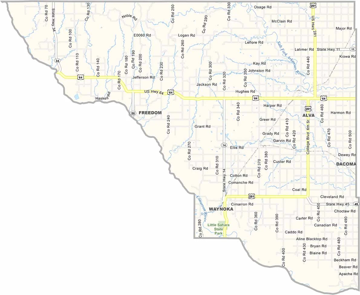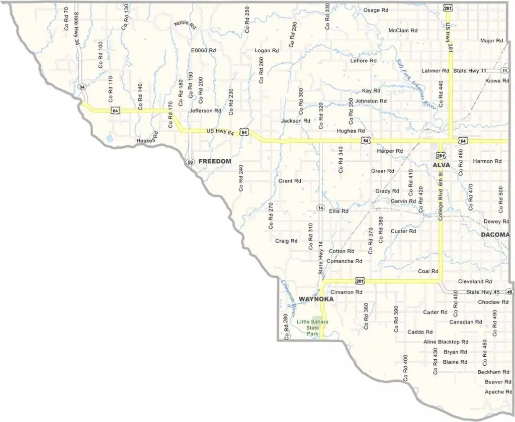
Woods County Map, Oklahoma

Woods County, Oklahoma

Woods County occupies the northwestern part of Oklahoma, where the high plains give way to the Red Hills. It is rugged country. Alva, the county seat, is home to Northwestern Oklahoma State University.

Ranching is a major business here, and so is wheat farming. The Glass Mountains, despite the name, are actually mesas topped with a glittering layer of selenite crystal, and they are a sight to behold.

Alabaster Caverns State Park has the world's largest gypsum cave open to the public, while Little Sahara State Park spans more than 1,600 acres of sand dunes. The Cimarron River forms the southern boundary. Woods County has a raw, untamed beauty all its own.
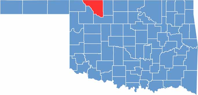

Location map of Woods County, Oklahoma
CategoryDetails
County NameWoods County
County SeatAlva
EtymologyNamed after Samuel Newitt Wood, a Kansas Supreme Court judge
Cities, Towns, and CommunitiesAlva, Waynoka, Freedom
Interstates and HighwaysU.S. Highway 64, U.S. Highway 281, State Highway 11, State Highway 14
FIPS Code40-151
Total Area (Land and Water)1,290 square miles (1,286 sq mi land, 4 sq mi water)
Adjacent Counties (and Direction)Comanche County, Kansas (North), Barber County, Kansas (Northeast), Alfalfa County (East), Major County (South), Woodward County (Southwest), Harper County (West)
Time ZoneCentral Time Zone (CST)
StateOklahoma
Coordinates36°44’N, 98°43’W
Major LandmarksLittle Sahara State Park, Alabaster Caverns State Park, Northwestern Oklahoma State University
PopulationApproximately 8,500
Scroll to Top