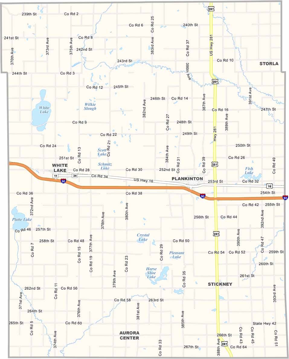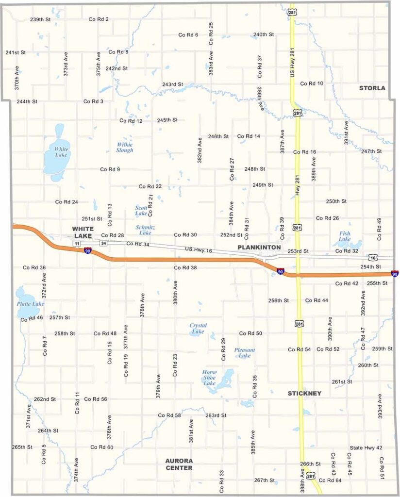
Aurora County Map, South Dakota

Aurora County, South Dakota

Aurora County sits in southeastern South Dakota, where the prairie stretches for miles. Farmers here know the land like the back of their hand.

The county is named after the Roman goddess of dawn, and they certainly get some beautiful sunrises. Plankinton, the county seat, is home to about 700 people.

Fishing is pretty good at Firesteel Creek if that’s your thing. There isn’t much change in Aurora County, and that’s just the way the locals like it.
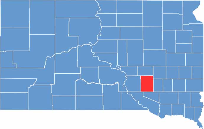

Aurora County location map of South Dakota
CategoryDetails
County NameAurora County
County SeatPlankinton
PopulationApproximately 2,700
Cities, Towns, and CommunitiesPlankinton, Stickney, White Lake
Interstates and HighwaysInterstate 90, State Highway 42, State Highway 281
FIPS Code46-003
Total Area (Land and Water)713 square miles (707 sq mi land, 6 sq mi water)
Adjacent Counties (and Direction)Jerauld County (North), Sanborn County (Northeast), Davison County (East), Douglas County (South), Charles Mix County (Southwest), Brule County (West)
Time ZoneCentral Time Zone (CST)
StateSouth Dakota
Coordinates43°43’N, 98°29’W
EtymologyNamed after Aurora, the Roman goddess of the dawn
Major LandmarksAurora County Courthouse, Plankinton Historical Museum
Scroll to Top