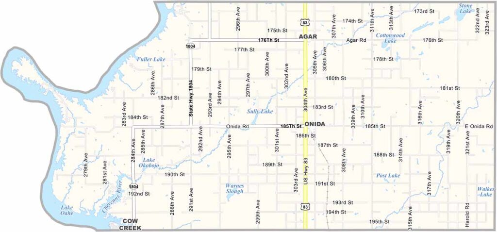
Sully County Map, South Dakota

Sully County Map, South Dakota

Sully County lies in central South Dakota. The Missouri River and Lake Oahe form its western border, and both are popular draws for fishermen.

The entire county is sparsely populated. Onida, the county seat, is the largest town, and it’s not very big. But what it lacks in size, it makes up for in character.

Agriculture drives the local economy, with wheat, corn, and sunflowers among the common crops. The landscape is mostly flat, but it’s far from boring. The sunsets here are spectacular.
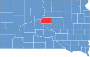

Sully County location map of South Dakota
CategoryDetails
County NameSully County
County SeatOnida
EtymologyNamed after Fort Sully, itself named after General Alfred Sully
Cities, Towns, and CommunitiesOnida, Agar
Interstates and HighwaysU.S. Highway 83
FIPS Code46-119
Total Area (Land and Water)1,070 square miles (1,007 sq mi land, 63 sq mi water)
Adjacent Counties (and Direction)Potter County (North), Hyde County (East), Hughes County (South), Stanley County (Southwest), Dewey County (Northwest)
Time ZoneCentral Time Zone (CST)
StateSouth Dakota
Coordinates44°44’N, 100°05’W
Major LandmarksLake Oahe, Sully County Courthouse
PopulationApproximately 1,300

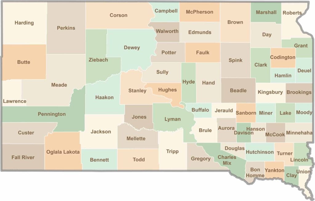
South Dakota County Map

South Dakota map showing major cities, roads, and state boundaries.

South Dakota’s 66 counties cover a lot of ground. Some are jagged and surreal, like the Badlands, while others are filled with wheat fields and quiet roads. It’s a wild mix, in the best way.

Scroll to Top