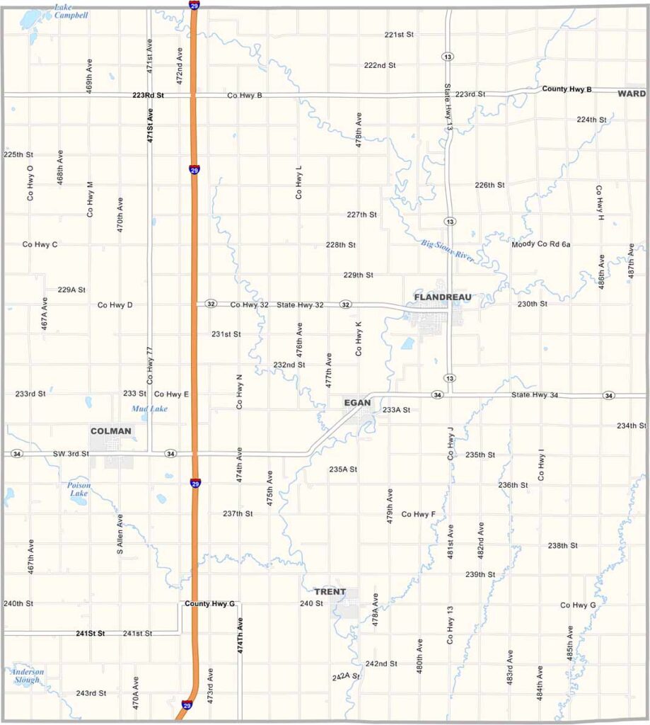
Moody County Map, South Dakota

Moody County Map, South Dakota

Moody County stretches along South Dakota’s eastern border next to Minnesota. The Big Sioux River forms its eastern edge, while the Big Sioux River and Pipestone Creek cut through the surrounding prairie.

Flandreau, the county seat, is home to the Royal River Casino, which is operated by the Flandreau Santee Sioux Tribe. Colman, Egan, and Trent are some of the other communities in the county.

The area is prime farmland, with corn, sunflowers, and soybeans among the main crops. The county is named after Gideon Moody, one of South Dakota’s first senators. You’ll also find some great fishing spots if you know where to look.
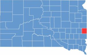

Moody County location map of South Dakota
CategoryDetails
County NameMoody County
County SeatFlandreau
EtymologyNamed after Gideon C. Moody, a Speaker of the House for Dakota Territory
Cities, Towns, and CommunitiesFlandreau, Colman, Egan, Trent
Interstates and HighwaysInterstate 29, U.S. Highway 77, State Highway 34
FIPS Code46-101
Total Area (Land and Water)521 square miles (519 sq mi land, 2 sq mi water)
Adjacent Counties (and Direction)Brookings County (North), Lincoln County, Minnesota (Northeast), Pipestone County, Minnesota (East), Rock County, Minnesota (Southeast), Minnehaha County (South), Lake County (West)
Time ZoneCentral Time Zone (CST)
StateSouth Dakota
Coordinates44°01’N, 96°39’W
Major LandmarksRoyal River Casino, Moody County Museum, Flandreau Indian School Museum
PopulationApproximately 6,500

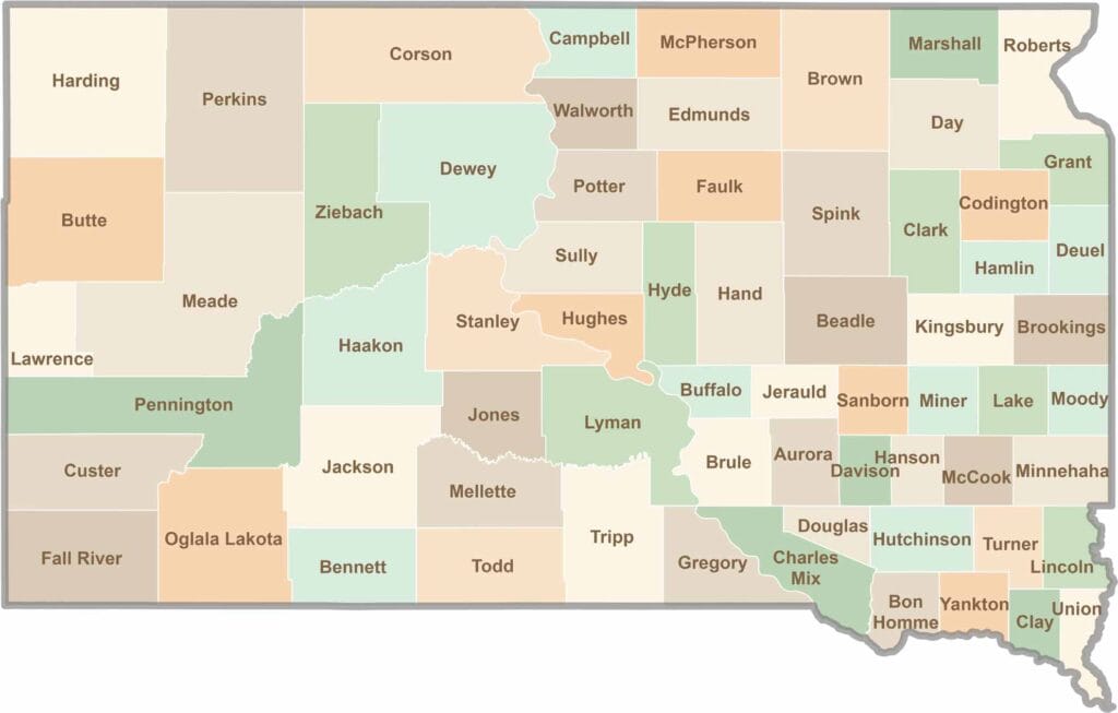
South Dakota County Map

South Dakota map showing major cities, roads, and state boundaries.

South Dakota’s 66 counties cover a lot of ground. Some are jagged and surreal, like the Badlands, while others are filled with wheat fields and quiet roads. It’s a wild mix, in the best way.

Scroll to Top