
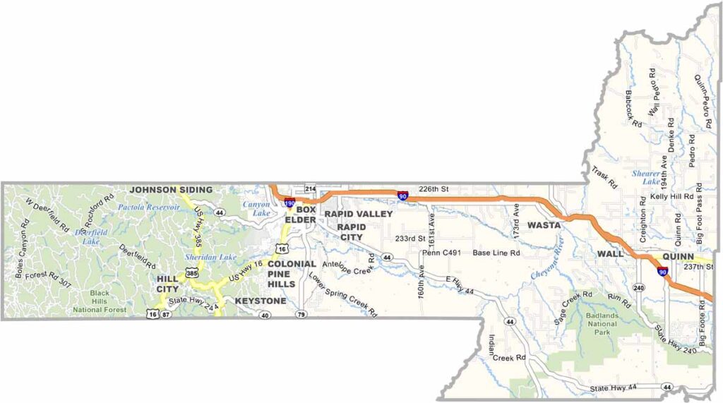
The Black Hills dominate the western landscape of Pennington County. Bustling Rapid City serves as the county seat, while vast prairies stretch across the east.
Mount Rushmore draws millions of tourists each year. But there’s plenty more to see. Badlands National Park offers dramatic, otherworldly views.
The county has a deep history, with Native American culture still thriving here. Outdoor enthusiasts flock to the area for hiking, camping, and rock climbing. Summers are mild and ideal for exploring. Winter? Well, let’s not talk about that.
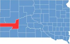
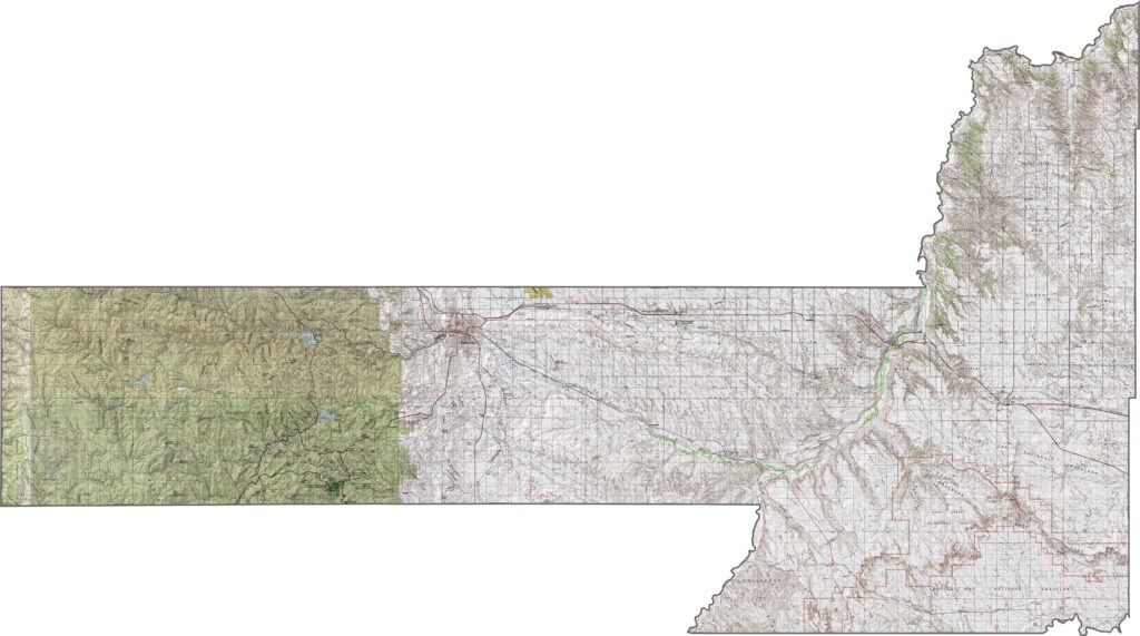
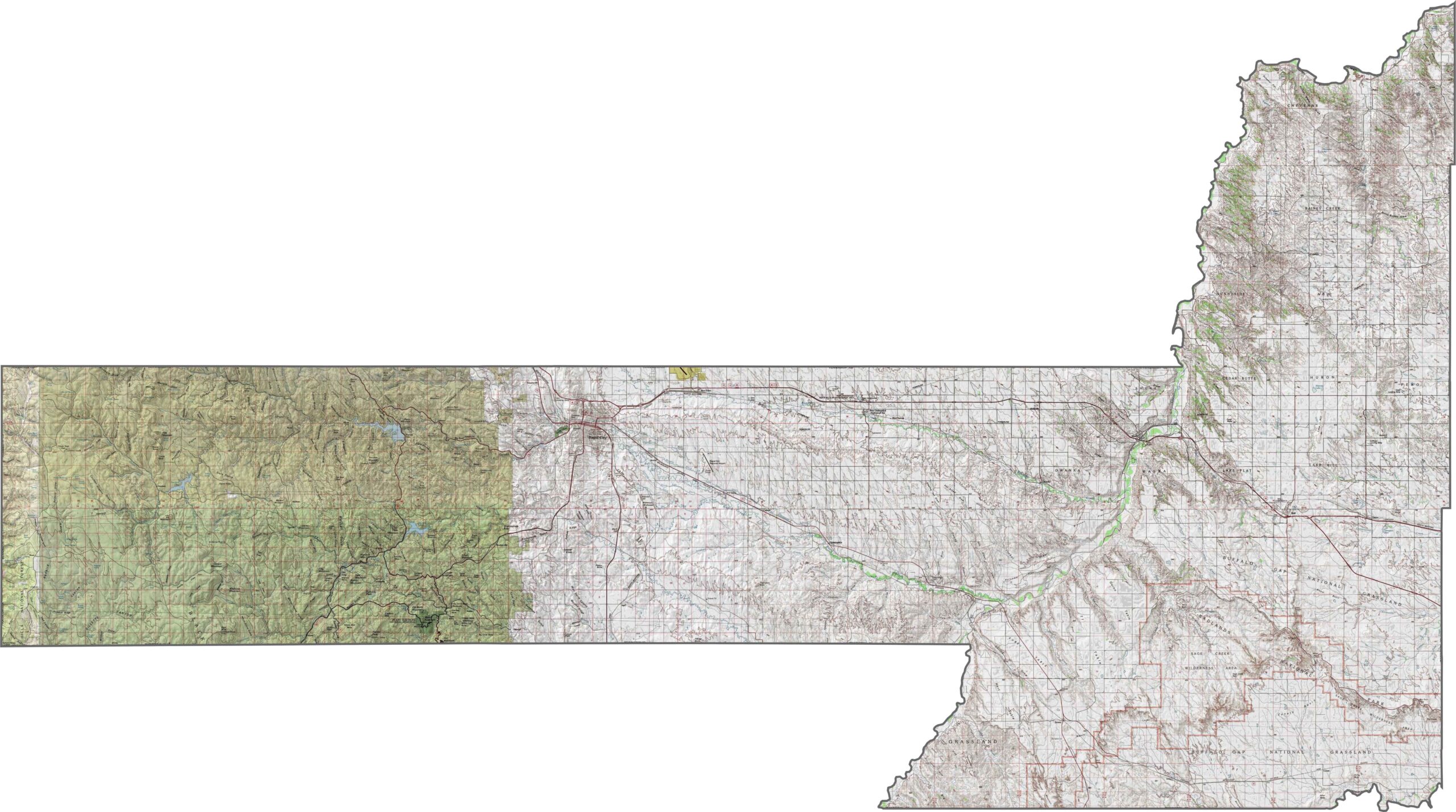
Pennington County contains some of South Dakota’s wildest terrain. The Black Hills rise steeply in the west, with rugged peaks and forested slopes. It’s the most mountainous part of the state. Elevation drops quickly as you move east, flattening into prairie. Our zoom tool can help you spot the elevation contours.
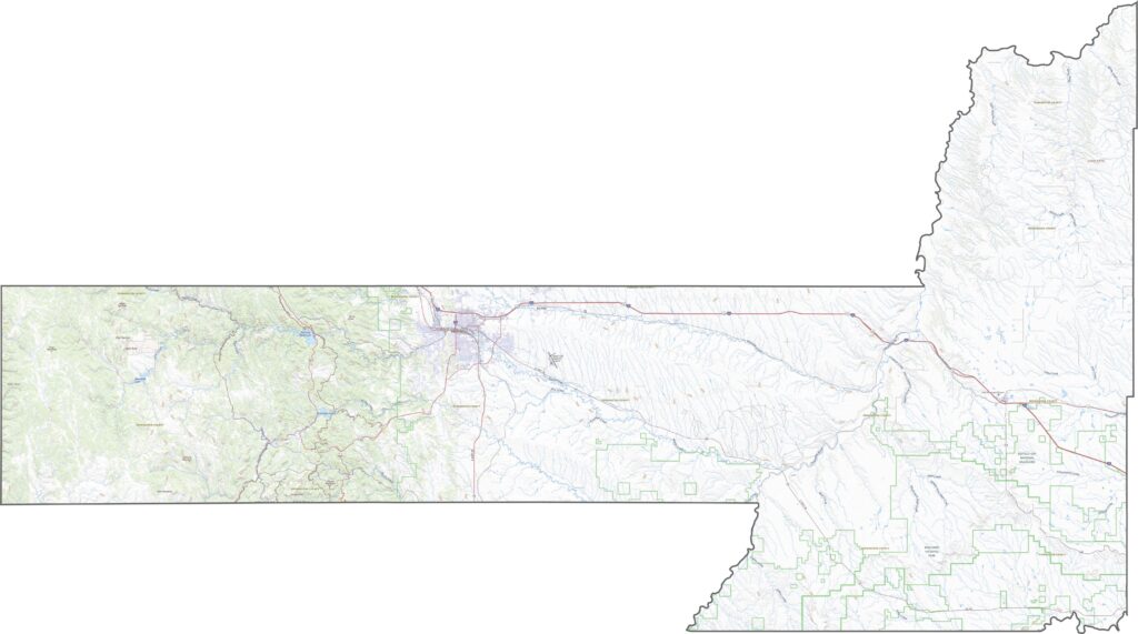
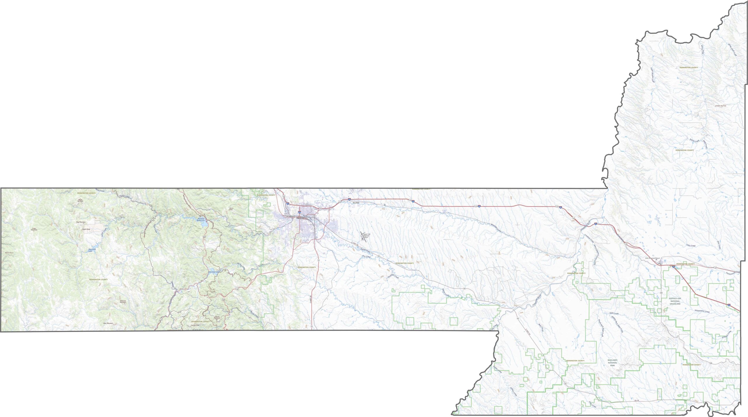
Roads here do a bit more climbing. They wind between ridges and valleys in the west, then straighten out as you move east. I-90 is the major highway, carrying traffic from east to west. However, not every turn leads to pavement, as gravel roads are still common in this area.
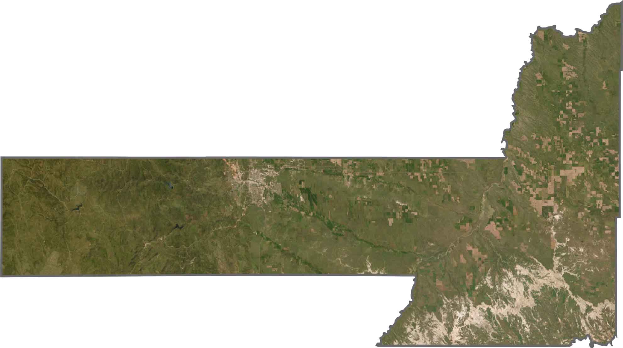
From above, you’ll notice a dramatic contrast. The western half is dark green and rugged, with thick forests and broken ridgelines. The eastern side turns gold and tan, with lighter patches of farmland. Rapid City also stands out in gray.
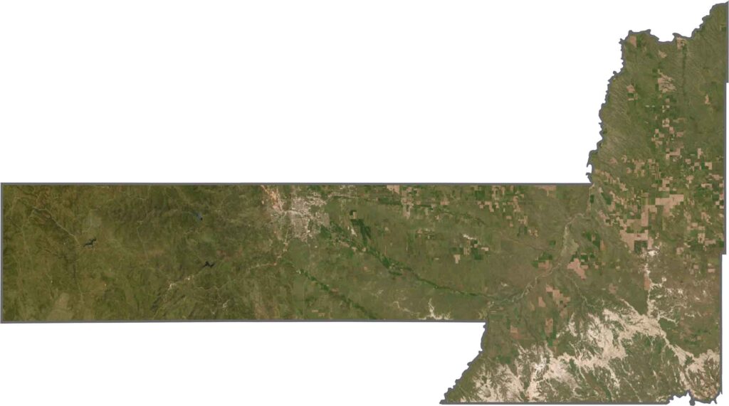
Pennington County’s shape is wide on the east side and more rectangular in the western section where the Black Hills push into the boundary. The county borders Wyoming to the west. It stretches farther west than you might expect, giving it a broad footprint on the map. The Cheyenne River defines parts of its boundary to the north and south.









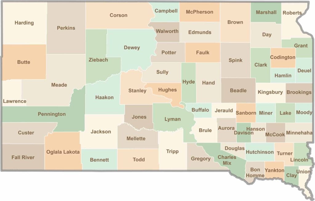
South Dakota’s 66 counties cover a lot of ground. Some are jagged and surreal, like the Badlands, while others are filled with wheat fields and quiet roads. It’s a wild mix, in the best way.