
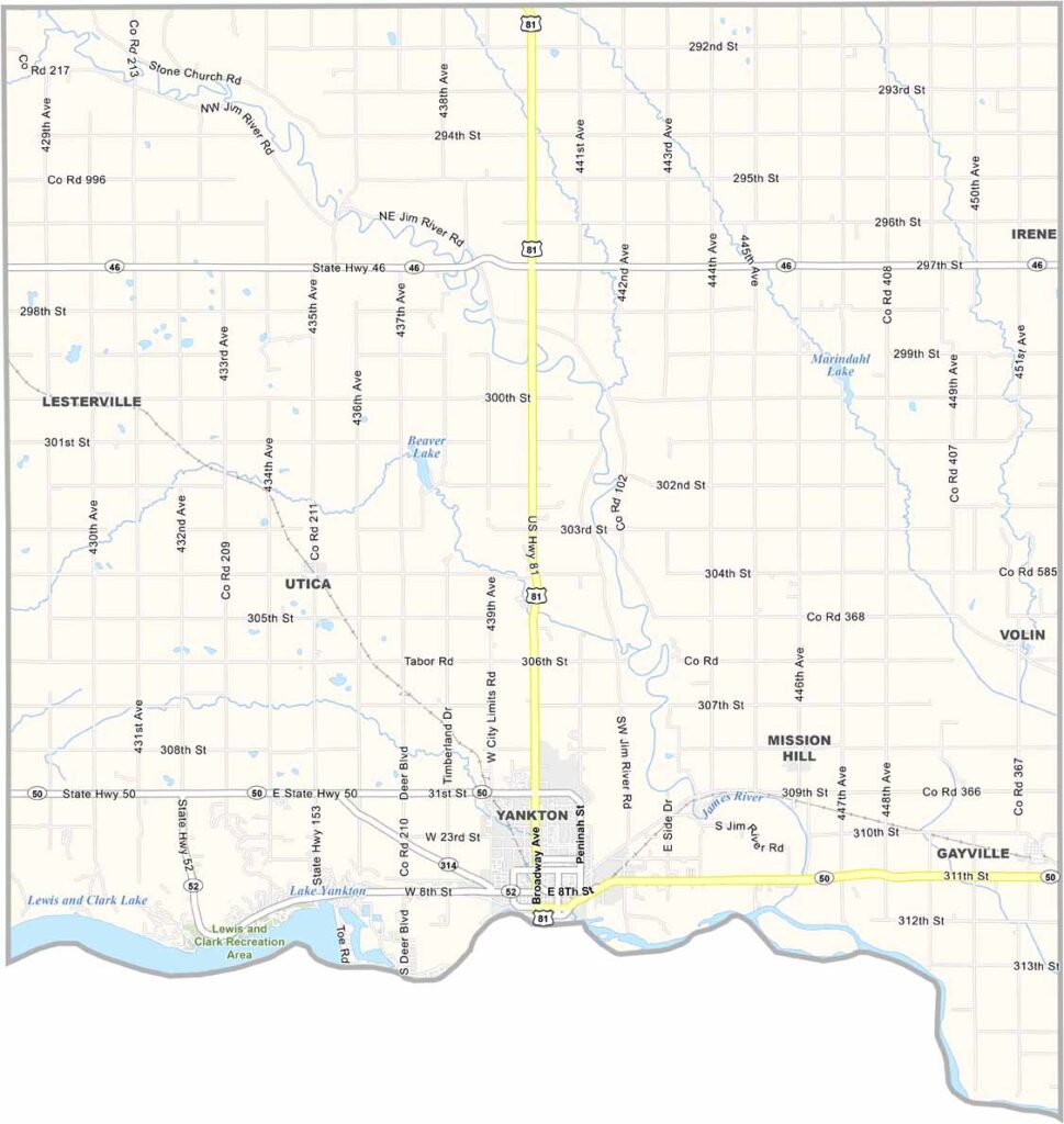
Yankton County Map, South Dakota

Yankton County, South Dakota

Yankton County sits along South Dakota’s southern border, right next to Nebraska. The Missouri River runs along its southern edge. Agriculture drives the economy, but industry also plays an important role.

Yankton, the county seat, was once the capital of Dakota Territory. Historians are drawn to the area for its Native American culture and rich history.

The outdoors are a major draw, with plenty of opportunities for boating, fishing, and hiking. Yankton College closed years ago, but its spirit lives on. This county has character.
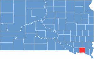

Yankton County location map of South Dakota
CategoryDetails
County NameYankton County
County SeatYankton
EtymologyNamed after the Yankton Sioux tribe
Cities, Towns, and CommunitiesYankton, Gayville, Lesterville, Mission Hill, Utica
Interstates and HighwaysU.S. Highway 81, U.S. Highway 50
FIPS Code46-135
Total Area (Land and Water)533 square miles (522 sq mi land, 11 sq mi water)
Adjacent Counties (and Direction)Turner County (Northeast), Clay County (East), Cedar County, Nebraska (Southeast), Knox County, Nebraska (Southwest), Bon Homme County (West), Hutchinson County (Northwest)
Time ZoneCentral Time Zone (CST)
StateSouth Dakota
Coordinates42°53’N, 97°23’W
Major LandmarksLewis and Clark Recreation Area, Gavins Point Dam, Meridian Bridge
PopulationApproximately 23,500
Scroll to Top





