
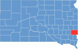
Home to Sioux Falls, Minnehaha County is the most populous county in South Dakota. Located in the southeastern corner of the state, it is crossed by the Big Sioux River, which gives the city its name.
The Midwest’s largest St. Patrick’s Day parade takes place here every year. There’s also a surprising amount of diversity for South Dakota.
Tech companies are moving into the area, changing the landscape. Falls Park features waterfalls, an observation tower, and a picnic area. Despite the urban center, you don’t have to drive far to reach the farmland.
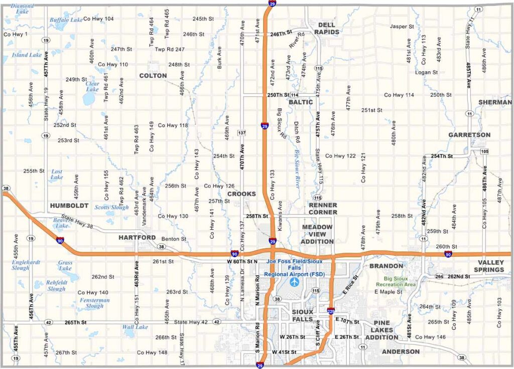
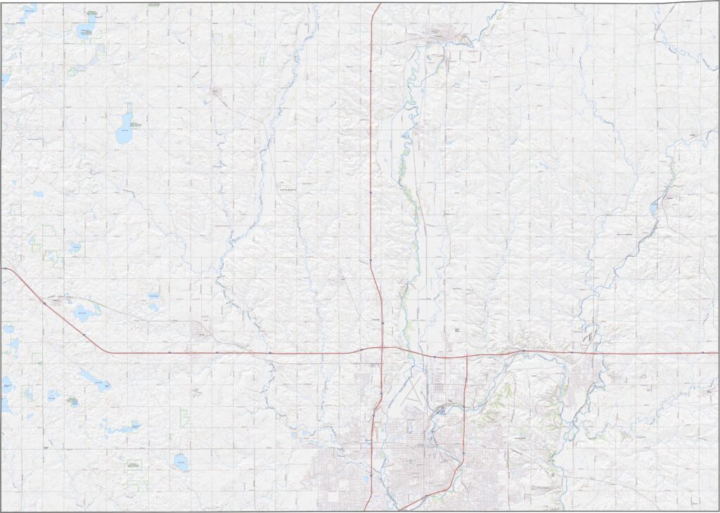
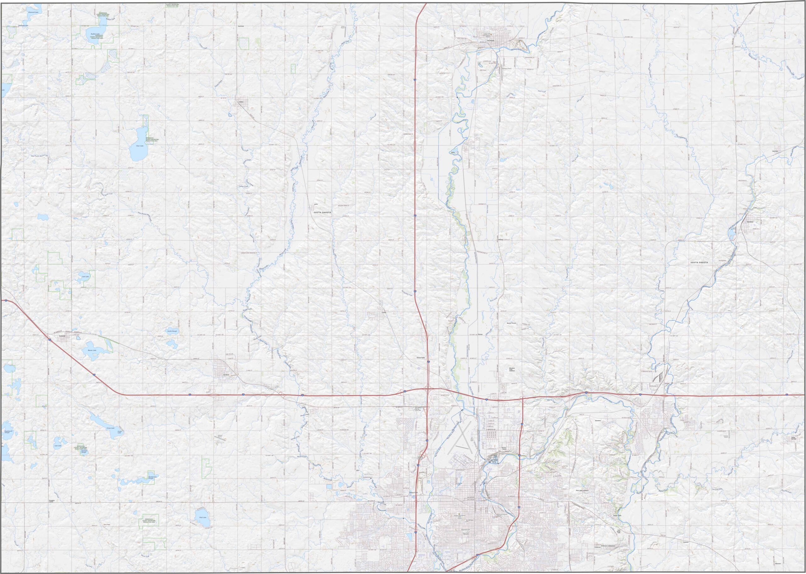
Minnehaha County is packed with roads that keep everything moving. The two major routes are I-29 and I-90, which meet just north of Sioux City. Outside the metro area, traffic thins out quickly. Even so, getting around the county is rarely a problem.
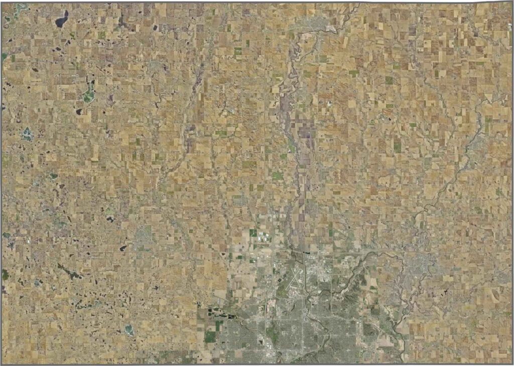
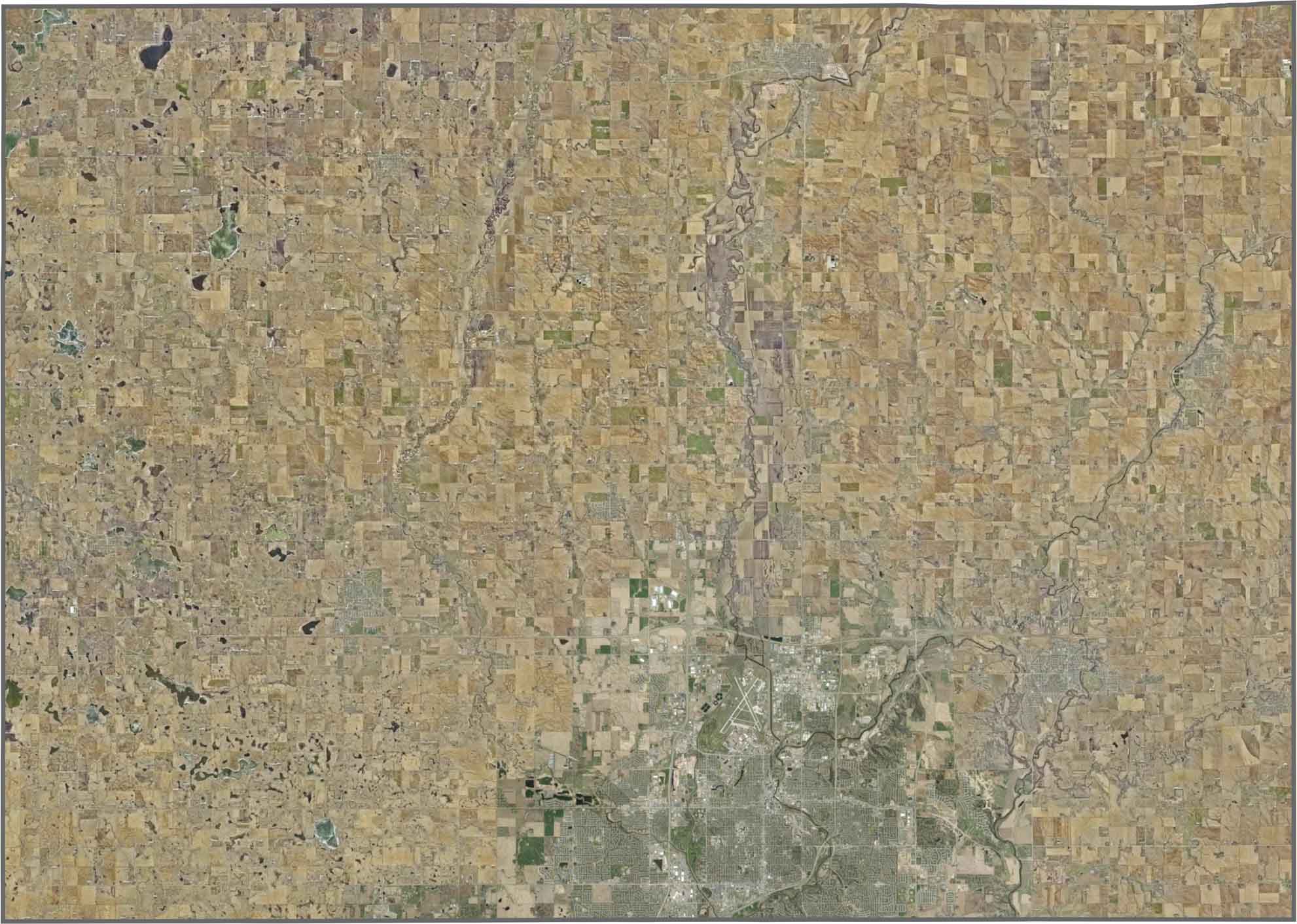
In our satellite map of Minnehaha County, Sioux Falls dominates the southern part. Outside the city, farm plots form neat, geometric patterns. Along the Big Sioux River, however, those shapes become more winding. A few pockets of trees stand out, but open fields cover most of the landscape.
Well, it doesn’t get much more rectangular than this. Minnehaha County is basically a perfect rectangle. It borders Minnesota to the northeast and Iowa to the southeast.









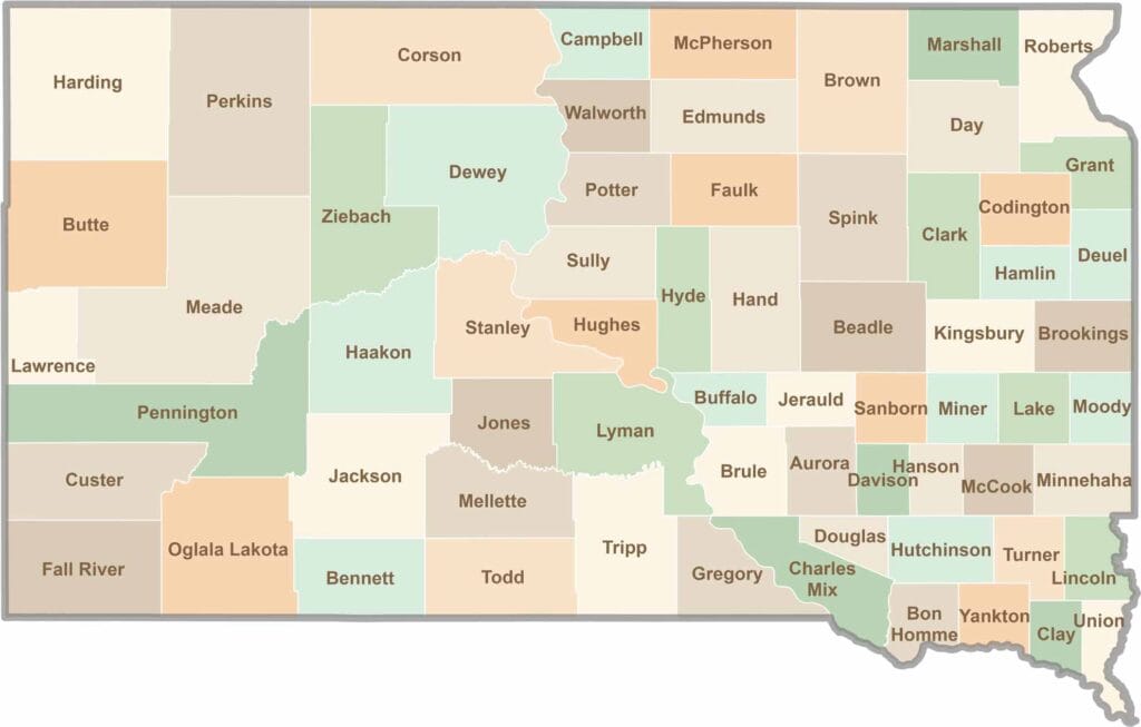
South Dakota’s 66 counties cover a lot of ground. Some are jagged and surreal, like the Badlands, while others are filled with wheat fields and quiet roads. It’s a wild mix, in the best way.