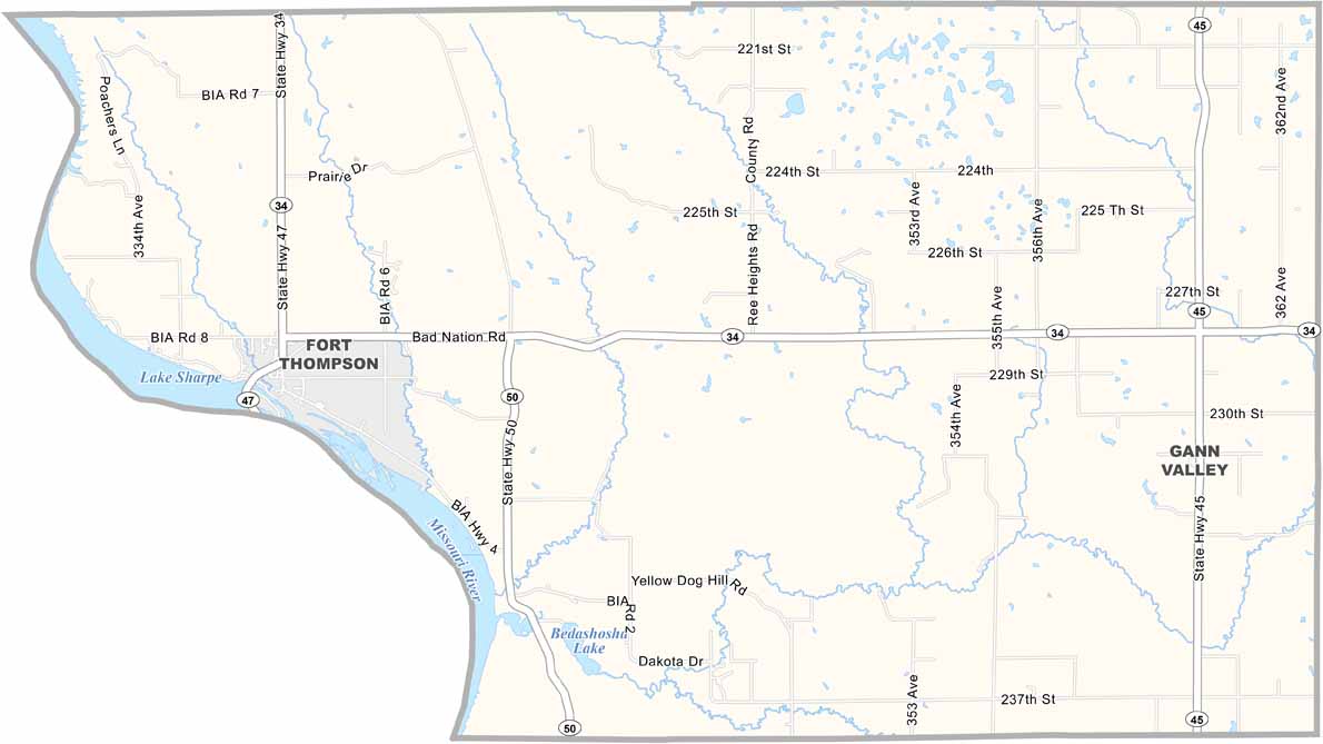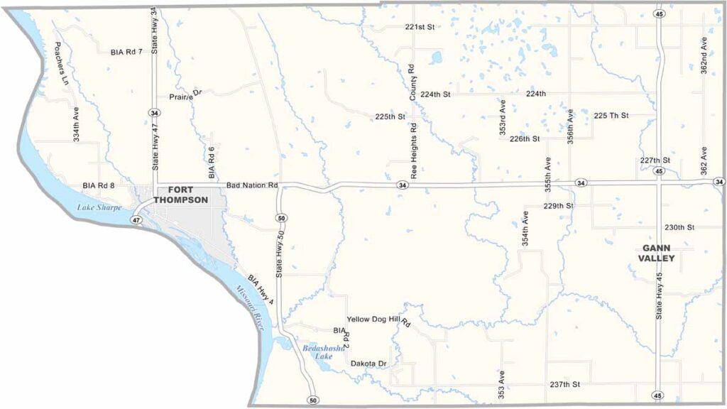
Buffalo County Map, South Dakota

Buffalo County, South Dakota

Buffalo County is a tiny slice of South Dakota, right in the heart of the state. It’s one of the smallest counties around, with most of its land lying within the Crow Creek Indian Reservation.

Gann Valley, the county seat, holds the record as the least populous county seat in the nation. Only a handful of people live here. That’s something, I guess.

Farming and ranching are the main livelihoods here. You won’t find fancy restaurants or shopping malls, but if you love wide-open spaces, this is your place. The Missouri River forms part of the western border, offering good fishing opportunities if you’re into that.
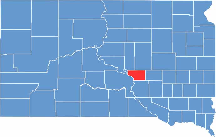

Buffalo County location map of South Dakota
CategoryDetails
County NameBuffalo County
County SeatGann Valley
PopulationApproximately 1,900
Cities, Towns, and CommunitiesGann Valley, Fort Thompson
Interstates and HighwaysU.S. Highway 34
FIPS Code46-017
Total Area (Land and Water)488 square miles (471 sq mi land, 17 sq mi water)
Adjacent Counties (and Direction)Hand County (Northeast), Jerauld County (East), Brule County (South), Lyman County (West), Hyde County (Northwest)
Time ZoneCentral Time Zone (CST)
StateSouth Dakota
Coordinates44°03’N, 99°16’W
EtymologyNamed after the American bison, commonly known as buffalo
Major LandmarksCrow Creek Indian Reservation, Big Bend Dam
Scroll to Top