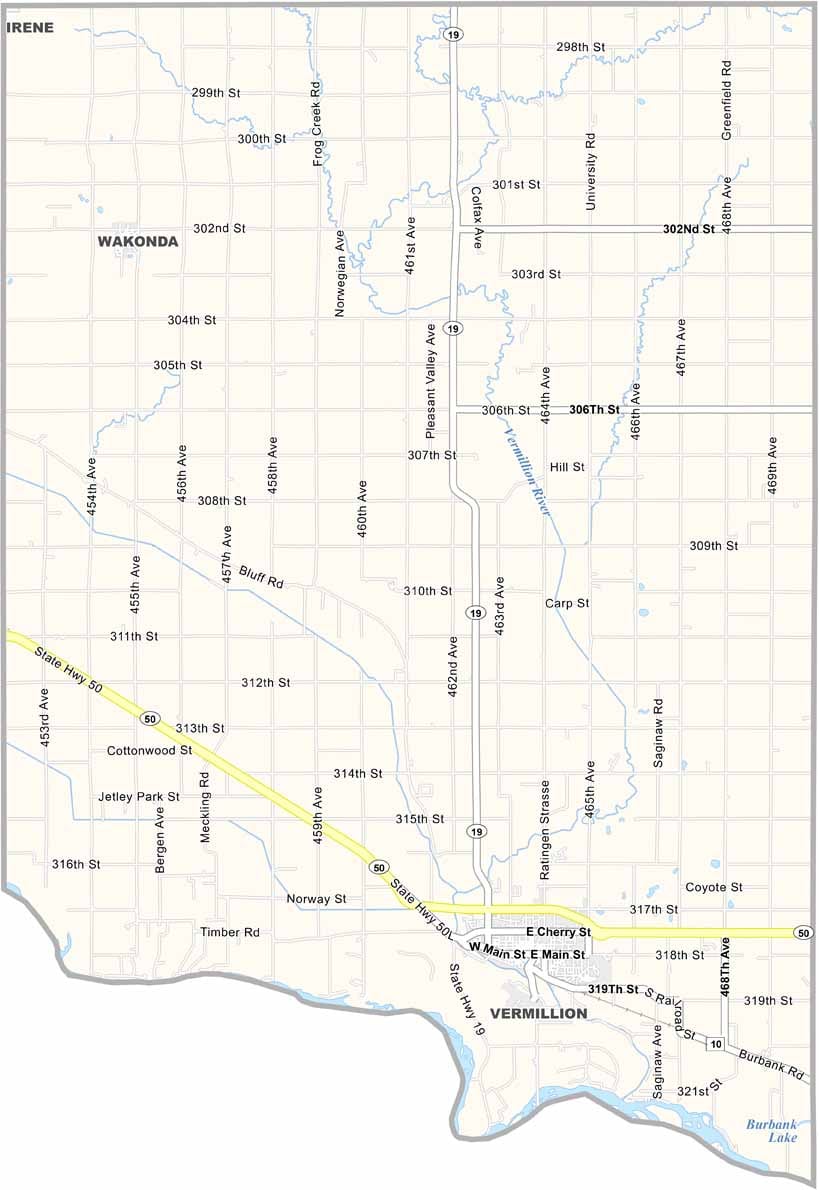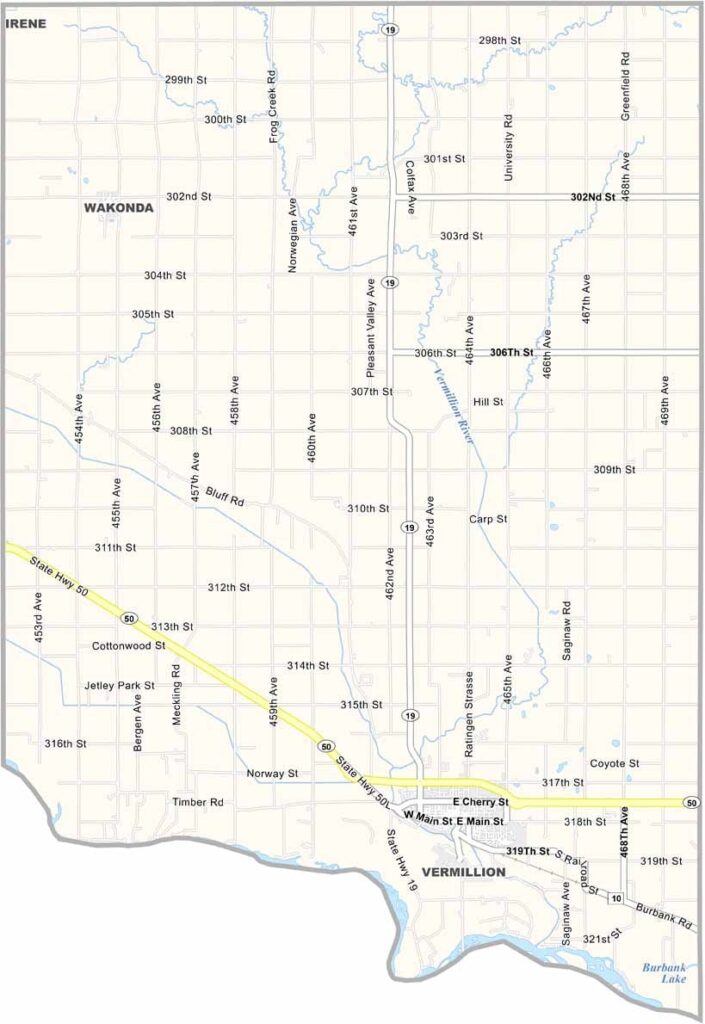
Clay County Map, South Dakota

Clay County, South Dakota

Clay County is down in the southeastern corner of South Dakota, bordering Nebraska. The Missouri River forms the southern border.

It’s home to the University of South Dakota in Vermillion, founded in 1862 (this is how far back the county dates).

Farming is big business here. The soil is rich and fertile. You can see for miles across the open prairies. Locals enjoy fishing and boating on the Missouri River.
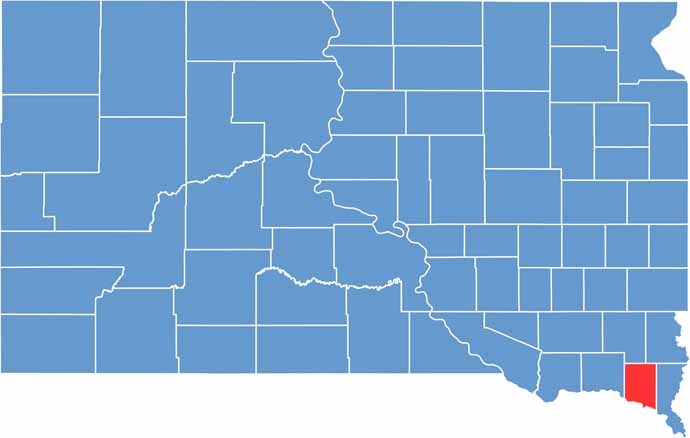

Clay County location map of South Dakota
CategoryDetails
County NameClay County
County SeatVermillion
PopulationApproximately 14,000
Cities, Towns, and CommunitiesVermillion, Wakonda, Burbank, Meckling
Interstates and HighwaysU.S. Highway 50, State Highway 19
FIPS Code46-027
Total Area (Land and Water)417 square miles (412 sq mi land, 5 sq mi water)
Adjacent Counties (and Direction)Turner County (North), Lincoln County (Northeast), Union County (East), Dixon County, Nebraska (Southeast), Cedar County, Nebraska (Southwest), Yankton County (West)
Time ZoneCentral Time Zone (CST)
StateSouth Dakota
Coordinates42°55’N, 97°01’W
EtymologyNamed after Henry Clay, a U.S. senator from Kentucky
Major LandmarksUniversity of South Dakota, Spirit Mound Historic Prairie, Clay County Park
Scroll to Top