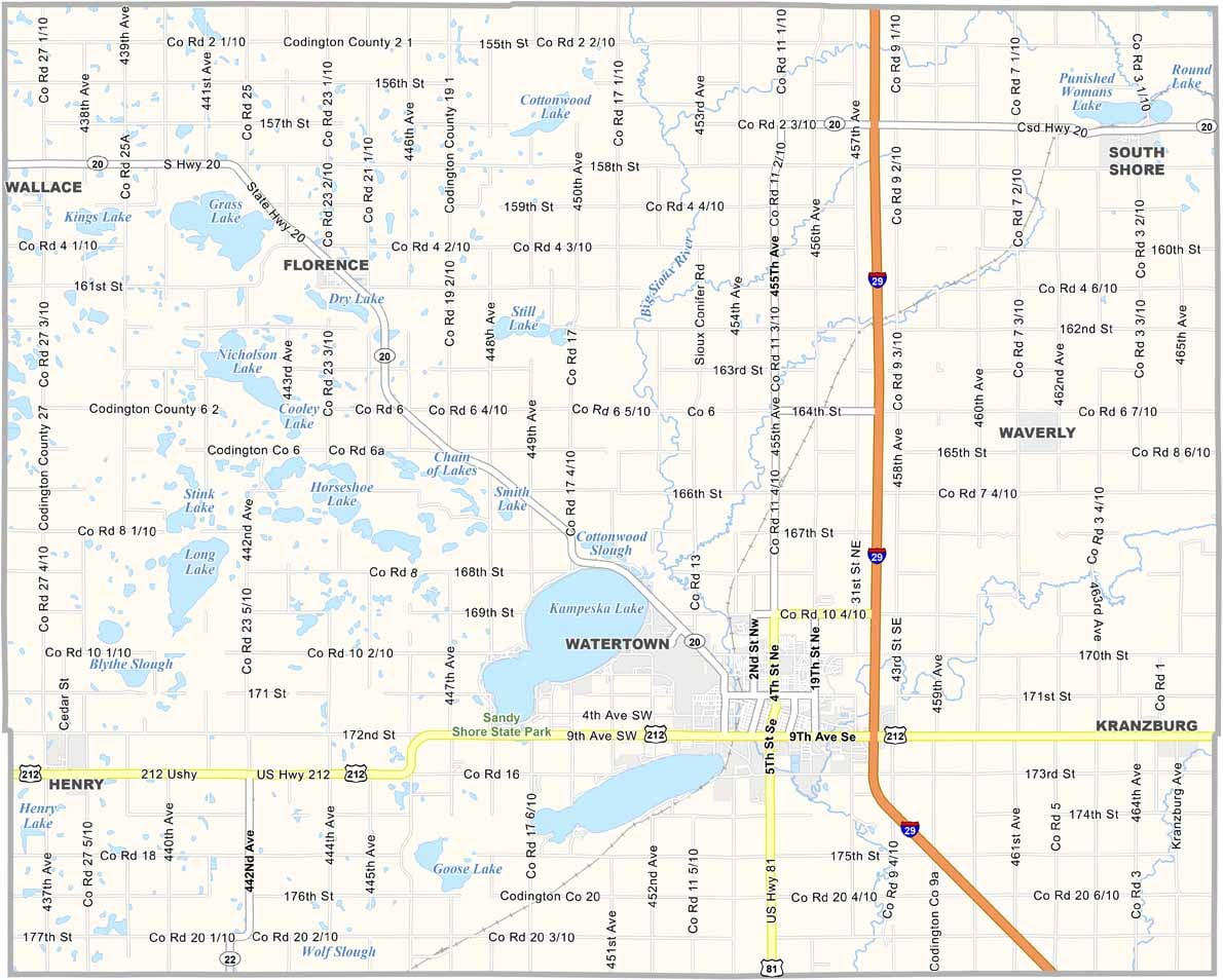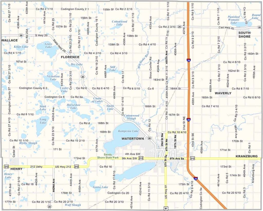
Codington County Map, South Dakota

Codington County, South Dakota

Codington County is located in eastern South Dakota. Watertown, the county seat, is a hub of activity. It’s also the biggest city, with over 22,000 people.

Lake Kampeska and Sandy Shore State Park draw in tourists because it’s a great spot for fishing and water sports. Agriculture drives the local economy, so you’ll see plenty of dairy farms around these parts.

The county was named after Reverend G.S. Codington. The Redlin Art Center in Watertown is perfect for art lovers. I-29 cuts through the county. Winters here are no joke. Bundle up! Summers are perfect for outdoor fun.
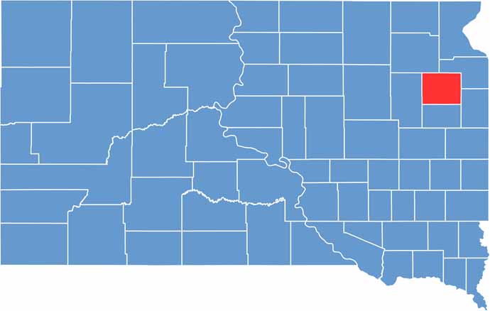

Codington County location map of South Dakota
CategoryDetails
County NameCodington County
County SeatWatertown
PopulationApproximately 28,000
Cities, Towns, and CommunitiesWatertown, Florence, Henry, Kranzburg, South Shore
Interstates and HighwaysInterstate 29, U.S. Highway 212
FIPS Code46-029
Total Area (Land and Water)717 square miles (688 sq mi land, 29 sq mi water)
Adjacent Counties (and Direction)Grant County (Northeast), Deuel County (Southeast), Hamlin County (South), Clark County (West), Day County (Northwest)
Time ZoneCentral Time Zone (CST)
StateSouth Dakota
Coordinates44°57’N, 97°09’W
EtymologyNamed after Reverend George Codington, a territorial legislator
Major LandmarksBramble Park Zoo, Lake Kampeska, Terry Redlin Art Center
Scroll to Top