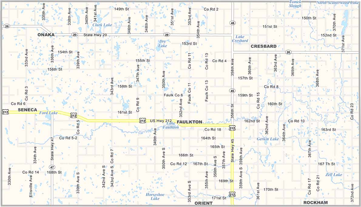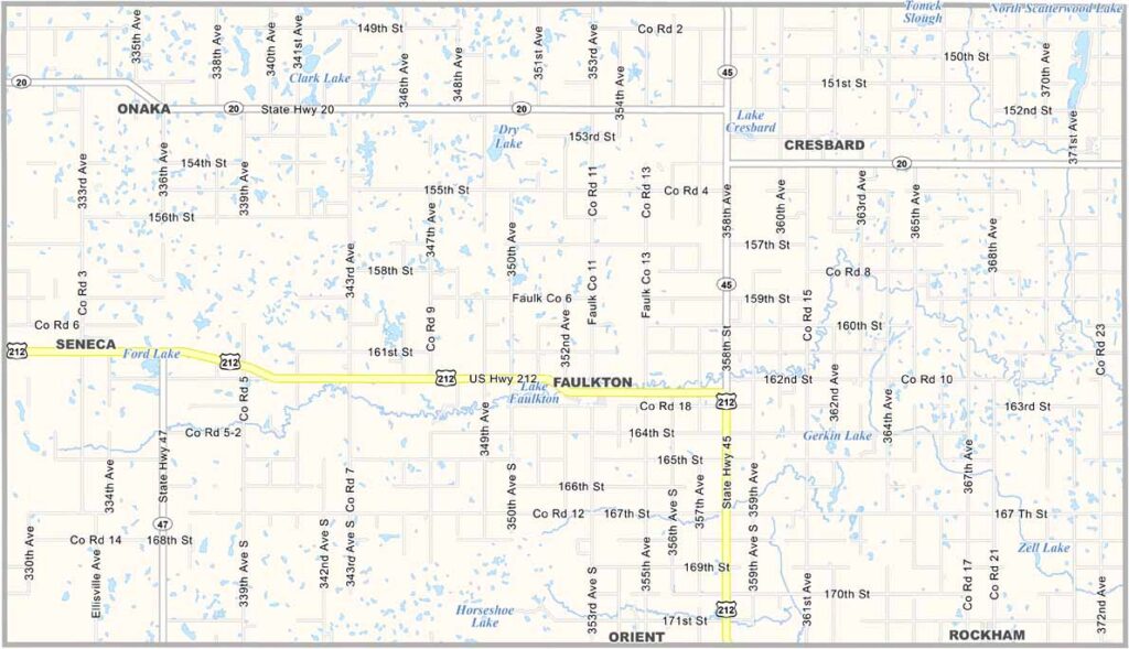
Faulk County Map, South Dakota

Faulk County, South Dakota

Faulk County sits right in the middle of South Dakota. It’s named after Andrew Jackson Faulk, the third governor of Dakota Territory.

Hunting is a big deal here, especially for pheasants and deer. The county fair in August is always a hit. Farming remains the backbone of the local economy.

You’ll see plenty of wheat fields and cattle ranches across the county. If you’re into stargazing, the night skies here are incredible. Faulkton serves as the county seat.
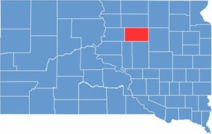

Faulk County location map of South Dakota
CategoryDetails
County NameFaulk County
County SeatFaulkton
EtymologyNamed after Andrew Jackson Faulk, a governor of Dakota Territory
Cities, Towns, and CommunitiesFaulkton, Orient, Seneca, Chelsea
Interstates and HighwaysU.S. Highway 212
FIPS Code46-049
Total Area (Land and Water)1,006 square miles (982 sq mi land, 24 sq mi water)
Adjacent Counties (and Direction)Edmunds County (North), Brown County (Northeast), Spink County (East), Hand County (South), Hyde County (Southwest), Potter County (West)
Time ZoneCentral Time Zone (CST)
StateSouth Dakota
Coordinates45°03’N, 99°09’W
Major LandmarksPickler Mansion, Faulkton Area Museum, Lake Louise State Recreation Area
PopulationApproximately 2,400
Scroll to Top