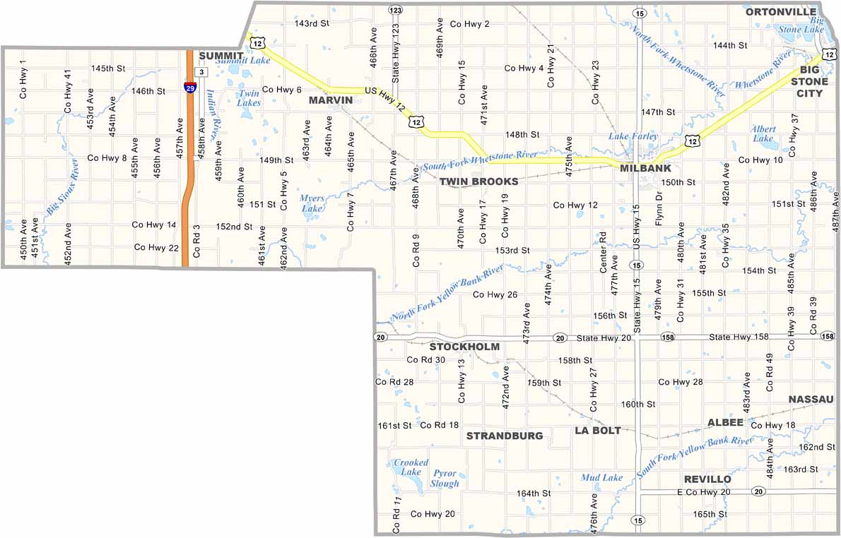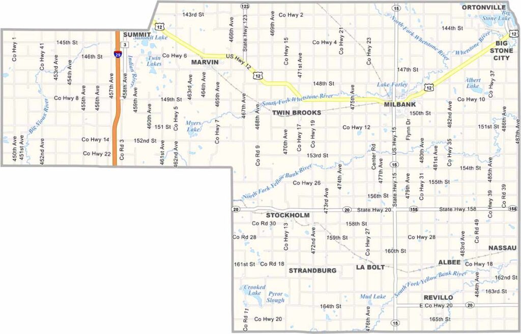
Grant County Map, South Dakota

Grant County, South Dakota

Grant County sits in the northeastern corner of South Dakota, bordering Minnesota to the east. It’s mostly dairy country, with agriculture playing a big role in local life.

The landscape is dotted with lakes, making it ideal for fishing and boating. Milbank is the largest town and hosts a “Train Festival” every year. It’s quirky, but fun.

The county is named after Ulysses S. Grant, the 18th President of the United States. You’ll also find some top-notch golf courses here. And if you’re into bird watching, this is your spot.
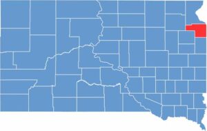

Grant County location map of South Dakota
CategoryDetails
County NameGrant County
County SeatMilbank
EtymologyNamed after Ulysses S. Grant, 18th President of the United States
Cities, Towns, and CommunitiesMilbank, Big Stone City, Revillo, Twin Brooks, Stockholm
Interstates and HighwaysU.S. Highway 12, State Highway 15, State Highway 20
FIPS Code46-051
Total Area (Land and Water)688 square miles (681 sq mi land, 7 sq mi water)
Adjacent Counties (and Direction)Roberts County (North), Big Stone County, Minnesota (Northeast), Lac qui Parle County, Minnesota (East), Deuel County (South), Codington County (Southwest), Day County (West)
Time ZoneCentral Time Zone (CST)
StateSouth Dakota
Coordinates45°13’N, 96°46’W
Major LandmarksBig Stone Lake, Lake Farley Park, Grant County Historical Society Museum
PopulationApproximately 7,100
Scroll to Top