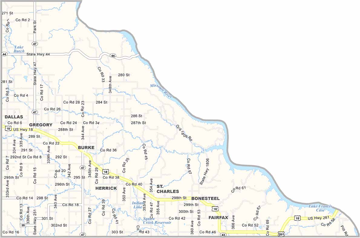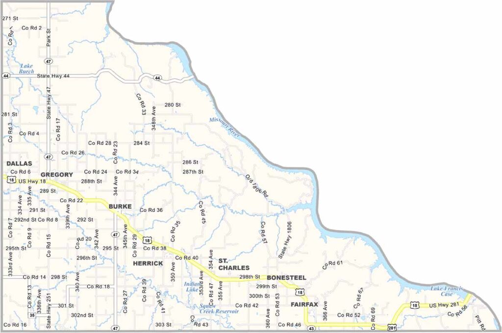
Gregory County Map, South Dakota

Gregory County, South Dakota

Gregory County hugs the Missouri River in south-central South Dakota. It’s a sportsman’s paradise, with plenty of opportunities for hunting, fishing, and boating. You can really take your pick.

The Fort Randall Dam creates Lake Francis Case, the 11th-largest reservoir in the nation. Burke, the county seat, is known for its ranching traditions, which have been a way of life for generations.

Some of the best views of the river come from the bluffs. Winters can be brutal, but folks here take them in stride. The county also has a rich Native American history, while community events like rodeos and pow-wows bring everyone together.
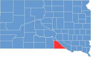

Gregory County location map of South Dakota
CategoryDetails
County NameGregory County
County SeatBurke
EtymologyNamed after John Shaw Gregory, an early legislator in Dakota Territory
Cities, Towns, and CommunitiesBurke, Gregory, Dallas, Bonesteel, Fairfax
Interstates and HighwaysU.S. Highway 18, U.S. Highway 281
FIPS Code46-053
Total Area (Land and Water)1,054 square miles (1,015 sq mi land, 39 sq mi water)
Adjacent Counties (and Direction)Lyman County (North), Charles Mix County (East), Boyd County, Nebraska (South), Keya Paha County, Nebraska (Southwest), Tripp County (West)
Time ZoneCentral Time Zone (CST)
StateSouth Dakota
Coordinates43°12’N, 99°26’W
Major LandmarksSouth Dakota State Parks (Burke Lake, Snake Creek Recreation Area), Missouri River
PopulationApproximately 4,300
Scroll to Top