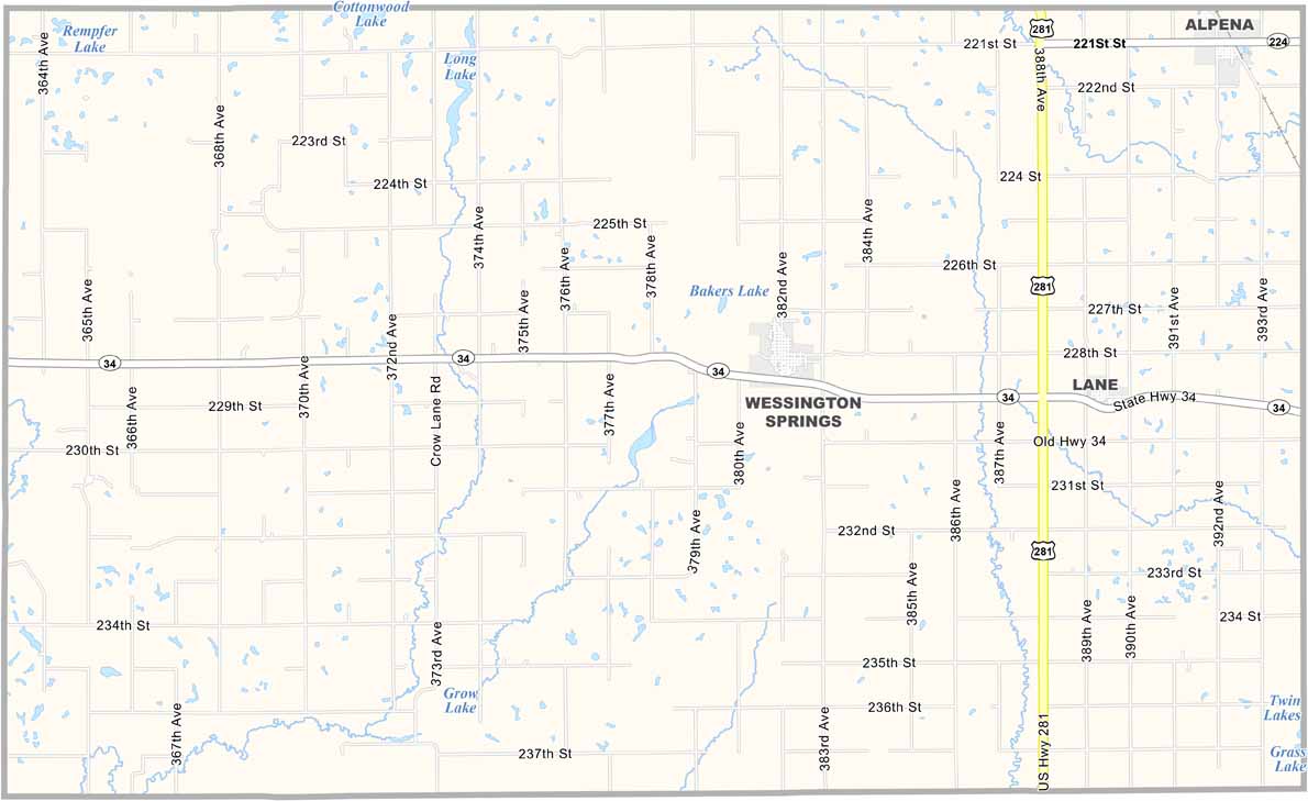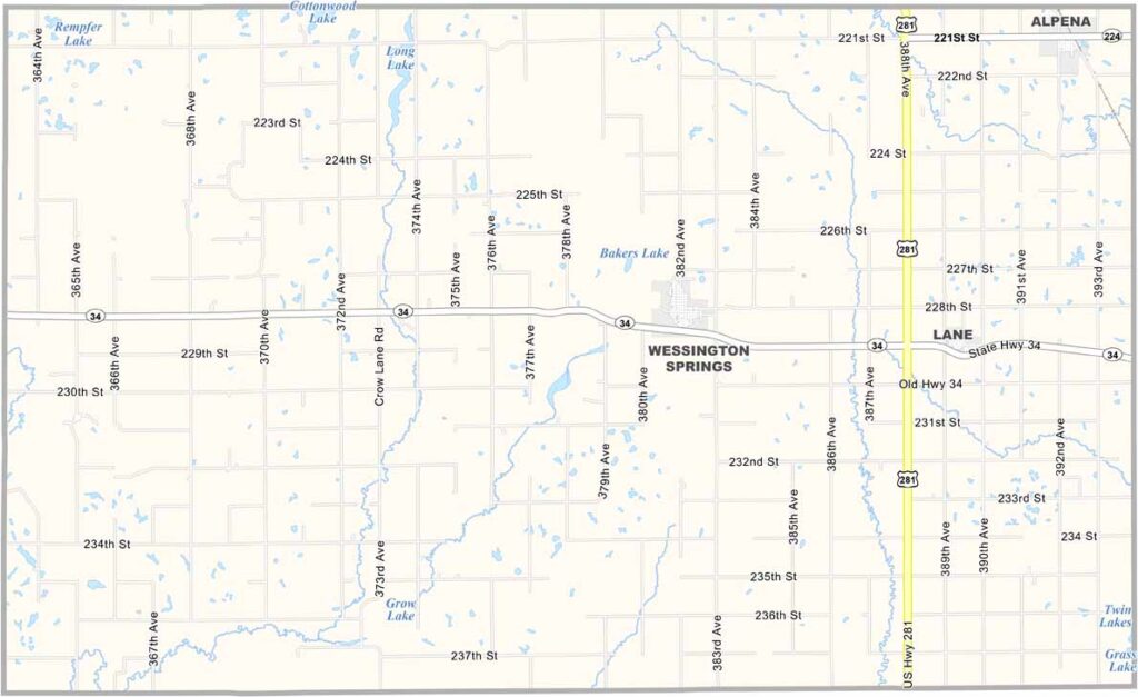
Jerauld County Map, South Dakota

Jerauld County, South Dakota

Jerauld County is one of those places you might drive right through without even realizing it. It sits in central South Dakota, just a small patch of the state’s vast prairie.

Wessington Springs, the county seat, is the only real town. Farming dominates the area, with corn and cattle leading the way. Gently rolling hills break up the otherwise flat landscape.

It’s quiet, and everyone knows everyone. It’s that kind of place. Hunting season brings a burst of activity, with pheasants plentiful across the county. Jerauld County isn’t flashy, but it’s got heart.
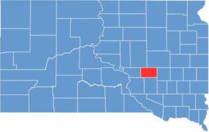

Jerauld County location map of South Dakota
CategoryDetails
County NameJerauld County
County SeatWessington Springs
EtymologyNamed after H.J. Jerauld, territorial legislator
Cities, Towns, and CommunitiesWessington Springs, Alpena, Lane
Interstates and HighwaysU.S. Highway 281, State Highway 34
FIPS Code46-073
Total Area (Land and Water)533 square miles (526 sq mi land, 7 sq mi water)
Adjacent Counties (and Direction)Beadle County (Northeast), Sanborn County (East), Aurora County (South), Brule County (Southwest), Buffalo County (West), Hand County (Northwest)
Time ZoneCentral Time Zone (CST)
StateSouth Dakota
Coordinates44°04’N, 98°42’W
Major LandmarksWessington Springs Park, Jerauld County Courthouse, Shakespeare Garden
PopulationApproximately 2,000
Scroll to Top