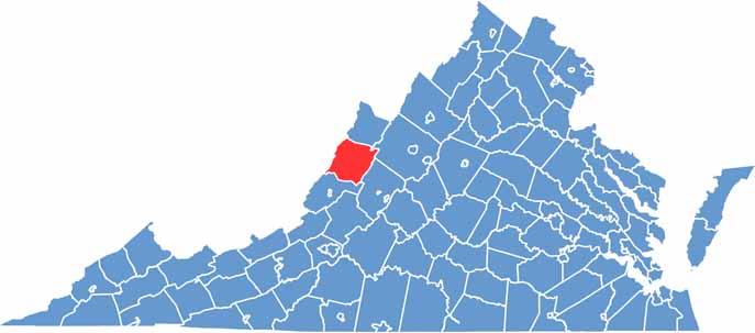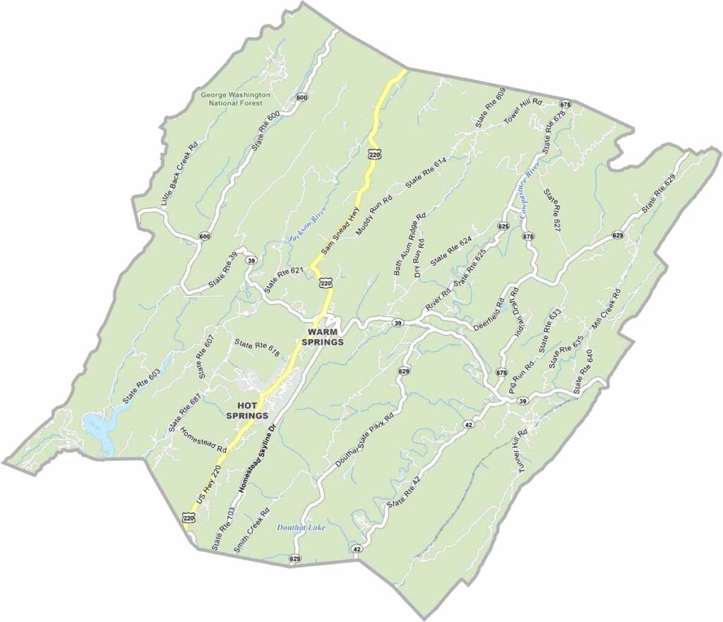
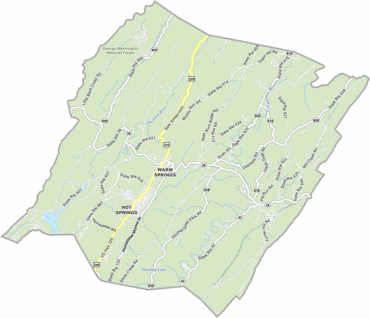
Bath County is a beautiful mountain retreat in western Virginia, named for the natural hot springs that have attracted visitors for generations. Much of the county lies within the George Washington National Forest, making it a true haven for outdoor enthusiasts.
Forests cover most of the landscape, while the Jackson River is a popular destination for fly fishing. With such a peaceful, rural setting, Bath County doesn’t even have a single stoplight. The autumn colors are spectacular, filling the mountains with vibrant shades of red, orange, and gold.
Residents take pride in their Appalachian roots, and bluegrass music remains part of the local culture. US Highway 220 serves as the county’s main roadway. For anyone looking to escape the noise and enjoy the beauty of the mountains, Bath County is an ideal place to slow down, explore, and reconnect with nature.