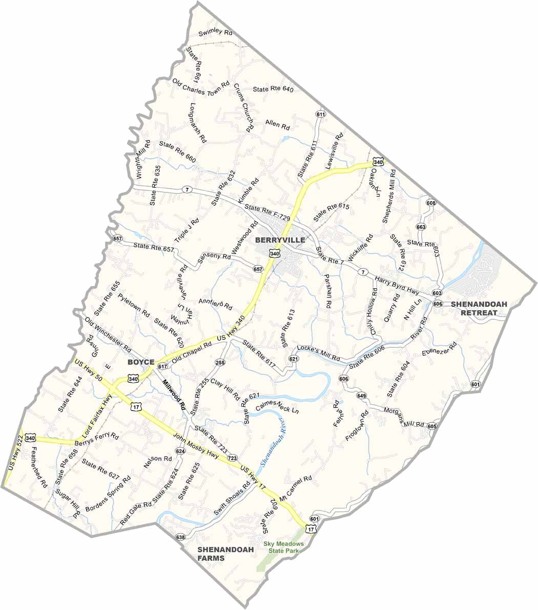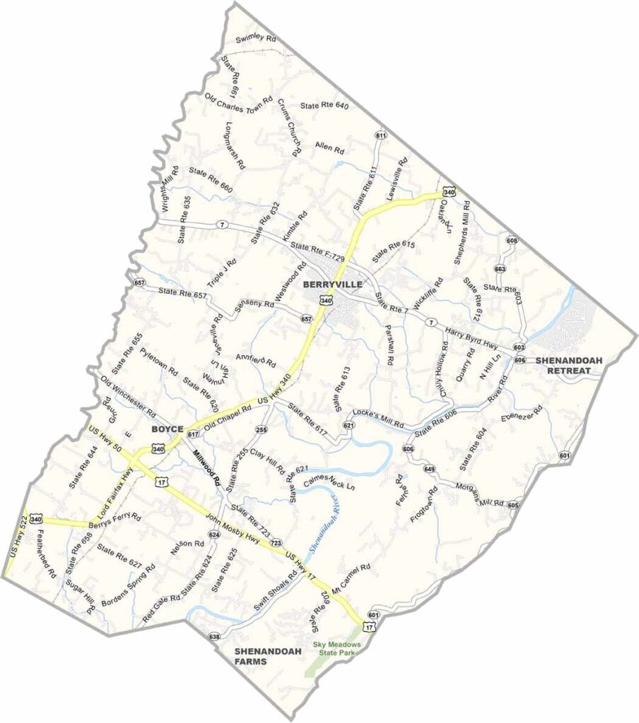
Clarke County Map, Virginia

Clarke County, Virginia

Clarke County is nestled among the rolling hills of northern Virginia. It’s a quiet and peaceful place, with the Blue Ridge Mountains rising to the east and stretching across the horizon.

The county is known for its farms and orchards. Apples are a big part of the local landscape, and fall is a great time to enjoy the fresh harvest.

Berryville, the county seat, has a charming small-town feel. History runs deep here, with the Civil War leaving its mark on the area. It’s close to Washington, D.C., yet feels like a world away. Clarke County is the kind of place that stays with you.
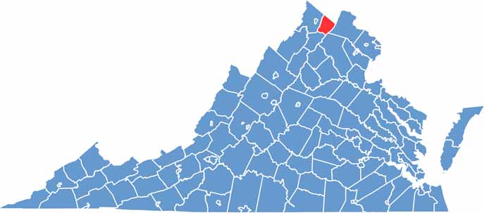
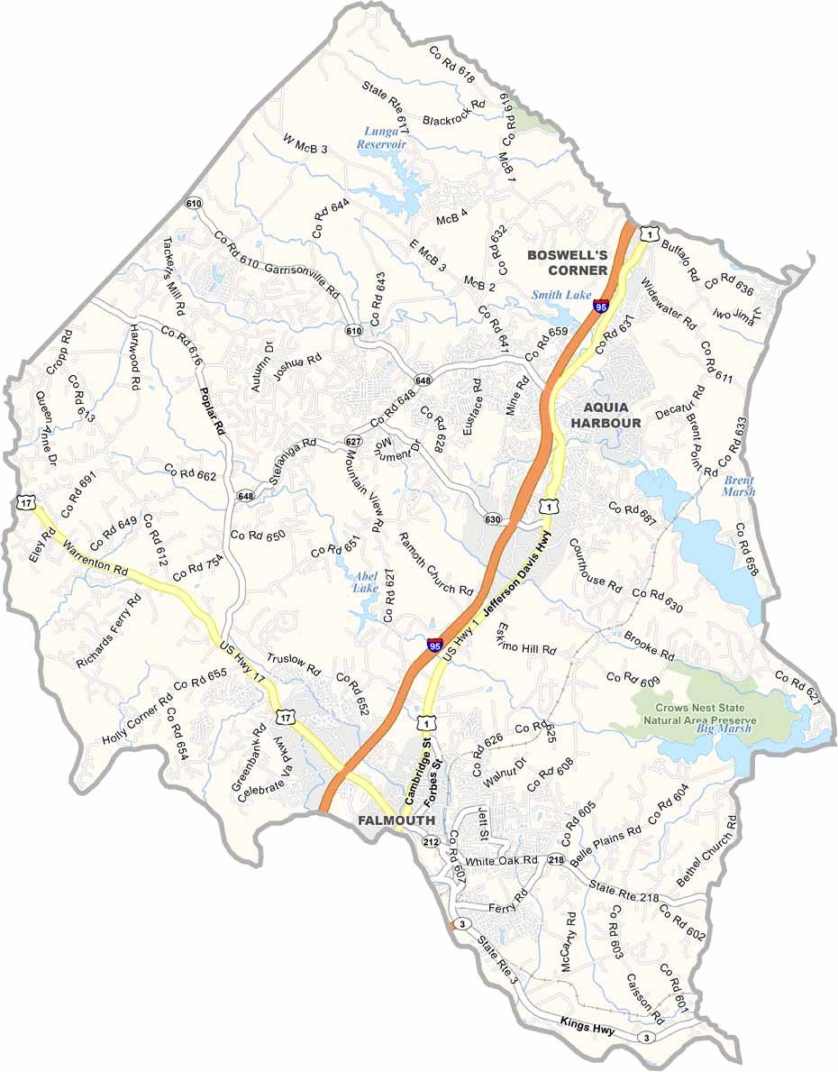
Location map of Clarke County, Virginia
CategoryDetails
County NameClarke County
County SeatBerryville
Cities, Towns, and CommunitiesBerryville, Boyce, White Post, Millwood
Interstates and HighwaysVA-7, US-340, VA-255
EtymologyNamed after George Rogers Clark, a Revolutionary War general
FIPS Code51-043
Total Area (Land and Water)178 sq mi (Land: 176 sq mi; Water: 2 sq mi)
Time ZoneEastern Time Zone (ET)
StateVirginia
Coordinates39.1518° N, 77.9831° W
Major LandmarksShenandoah River, Sky Meadows State Park, Blandy Experimental Farm
Adjacent Counties (and Direction)Loudoun County (East), Warren County (Southwest), Fauquier County (Southeast), Frederick County (West), Jefferson County, West Virginia (North)
PopulationApproximately 15,000
Scroll to Top