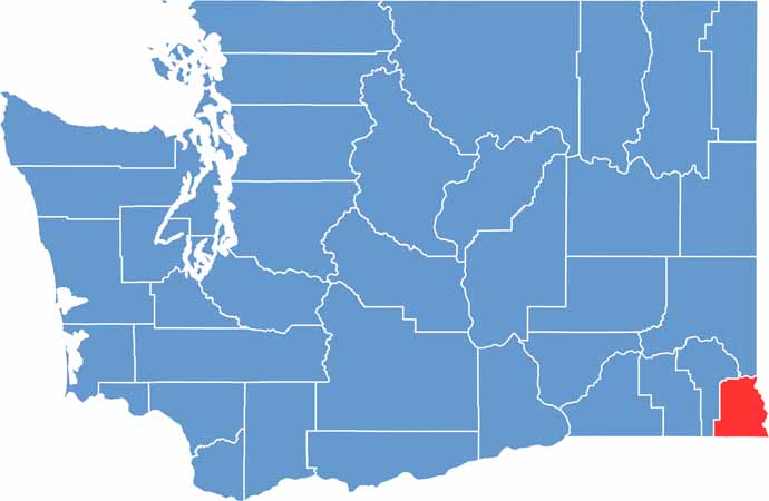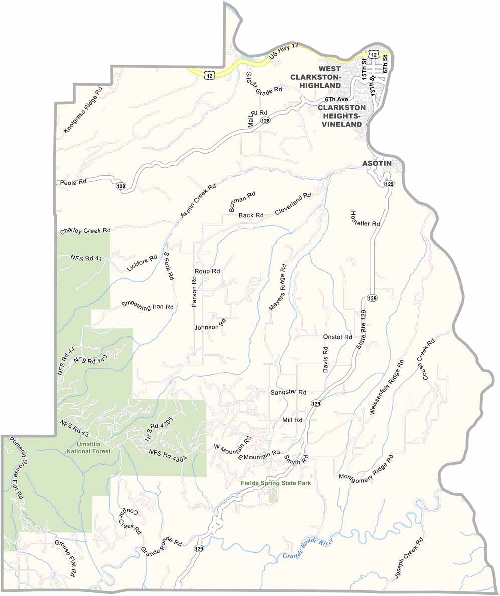
Asotin County sits in the southeastern corner of Washington, where the Snake River winds through rugged canyons and rolling hills. The county shares borders with both Idaho and Oregon, giving it a unique location in the region.
Clarkston is the largest city and lies directly across the river from Lewiston, Idaho. Outdoor activities are a big part of life here, with locals and visitors enjoying fishing, hunting, hiking, and exploring the surrounding landscapes.
The county’s name comes from a Nez Perce word meaning “Eel Creek.” Asotin County features a blend of open farmland, natural wilderness, and scenic river country. Winters are generally mild, while summers can bring intense heat. Despite being one of Washington’s smaller counties, Asotin County is rich in natural beauty, with wide-open skies where the stars shine brightly after dark.