
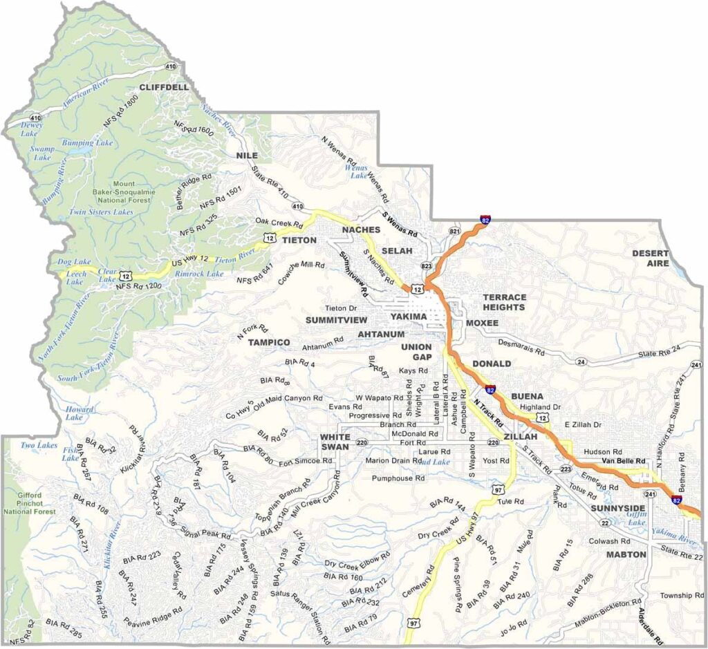
Yakima County is the fruit basket of Washington. It’s right in the middle of the state, on the east side of the Cascades. The Yakima Valley is famous for its apples, but that’s just the beginning. Hops, cherries, pears—you name it, they grow it.
The county is also making a name for itself in the wine world. It’s sunny here—like, really sunny—with more than 300 days of sunshine a year. That’s why agriculture thrives. The county seat, also named Yakima, is the largest city in Central Washington.
The Yakama Nation Reservation covers a large part of the county, and its cultural influence is everywhere. Mount Adams looms on the western horizon, making quite a sight. Visitors also love the hiking and fishing opportunities throughout the area.
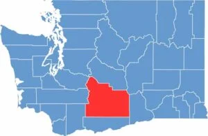
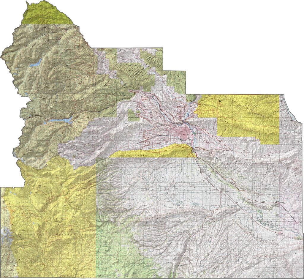
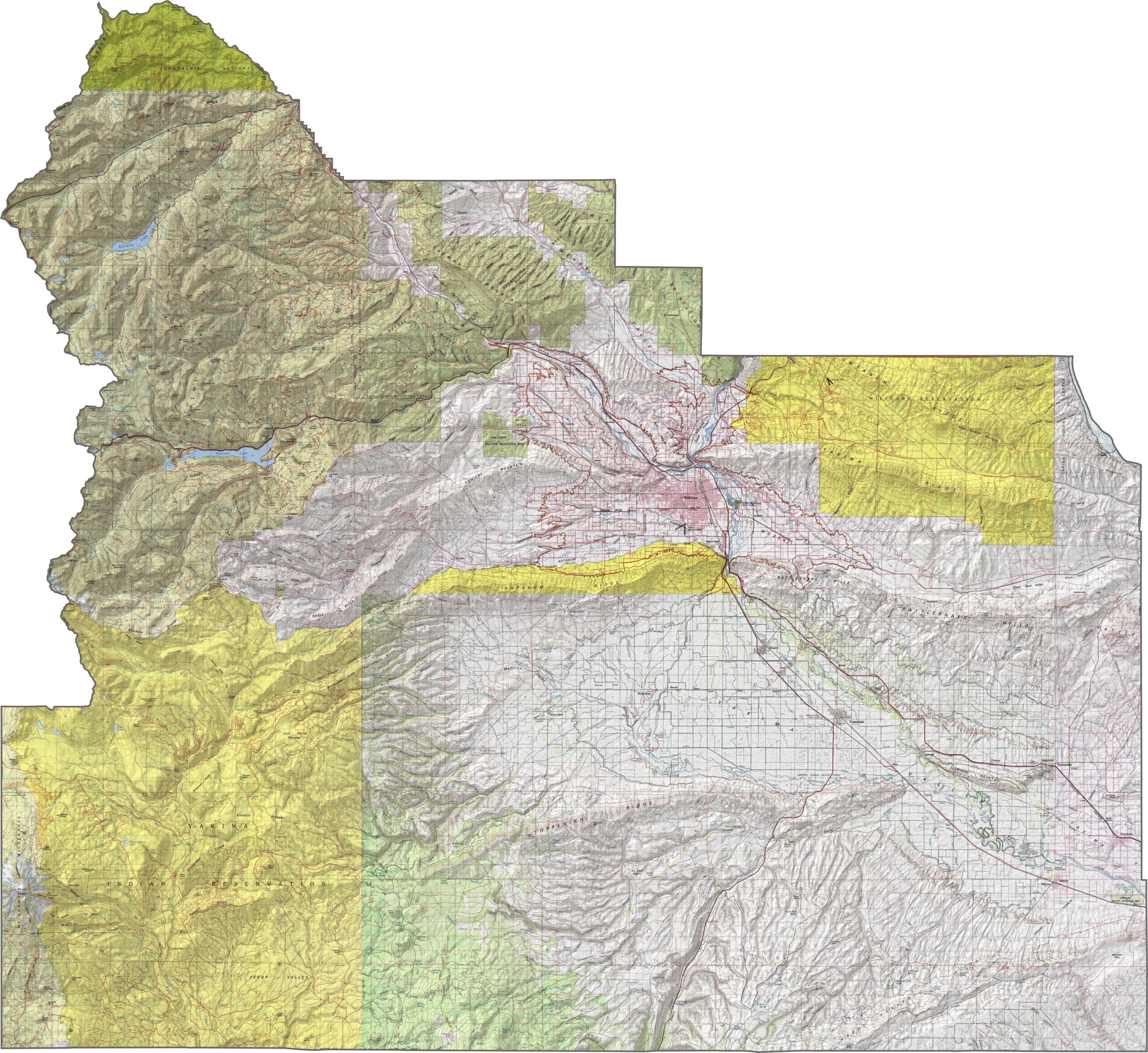
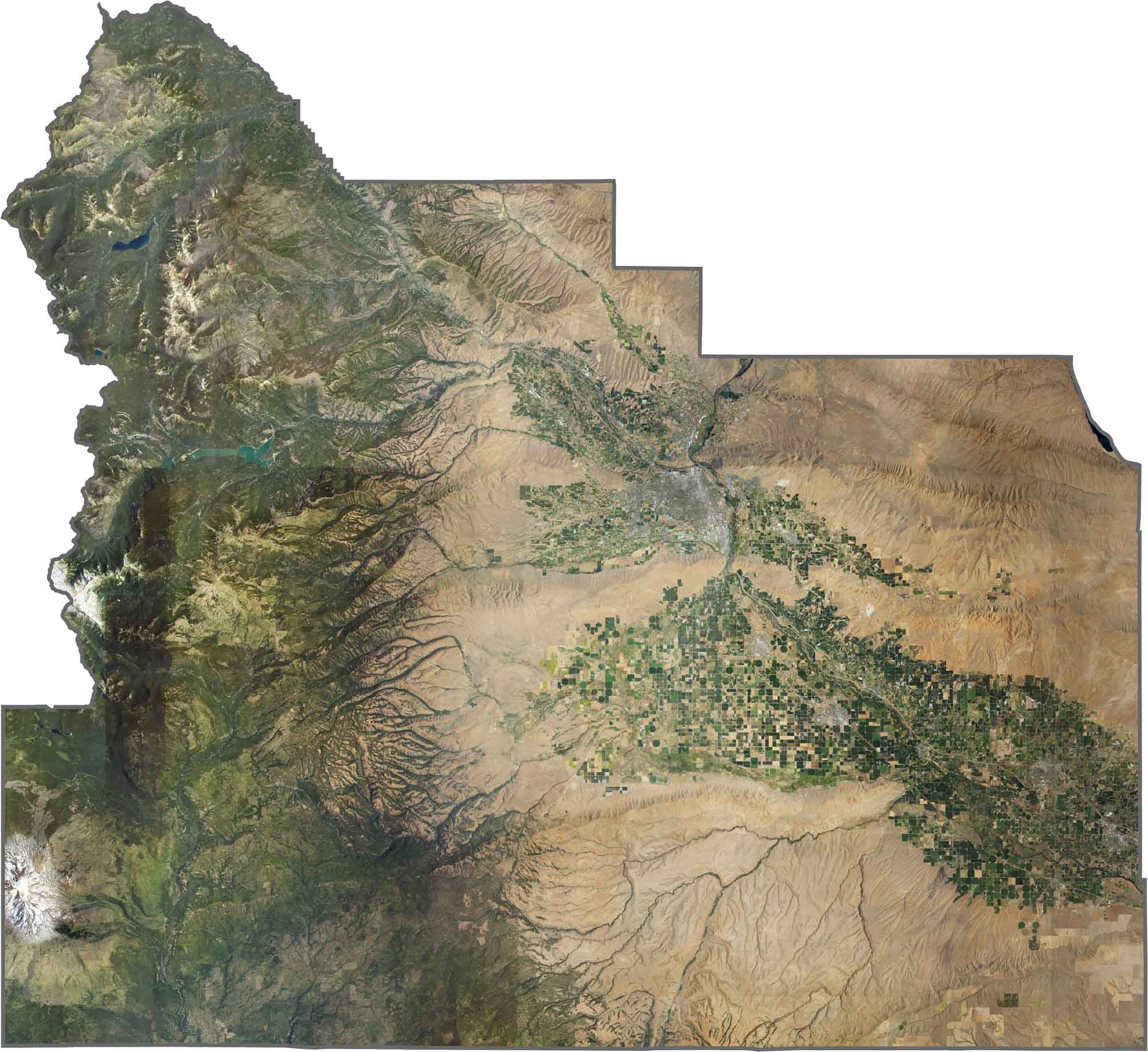
Yakima County stretches across the heart of central Washington, with dry valleys and volcanic ridges shaping the landscape. The Yakima River flows through a broad basin that supports agriculture, while the western edge climbs into the Cascades. Mount Adams looms in the distance, just within the county line in the southwest.
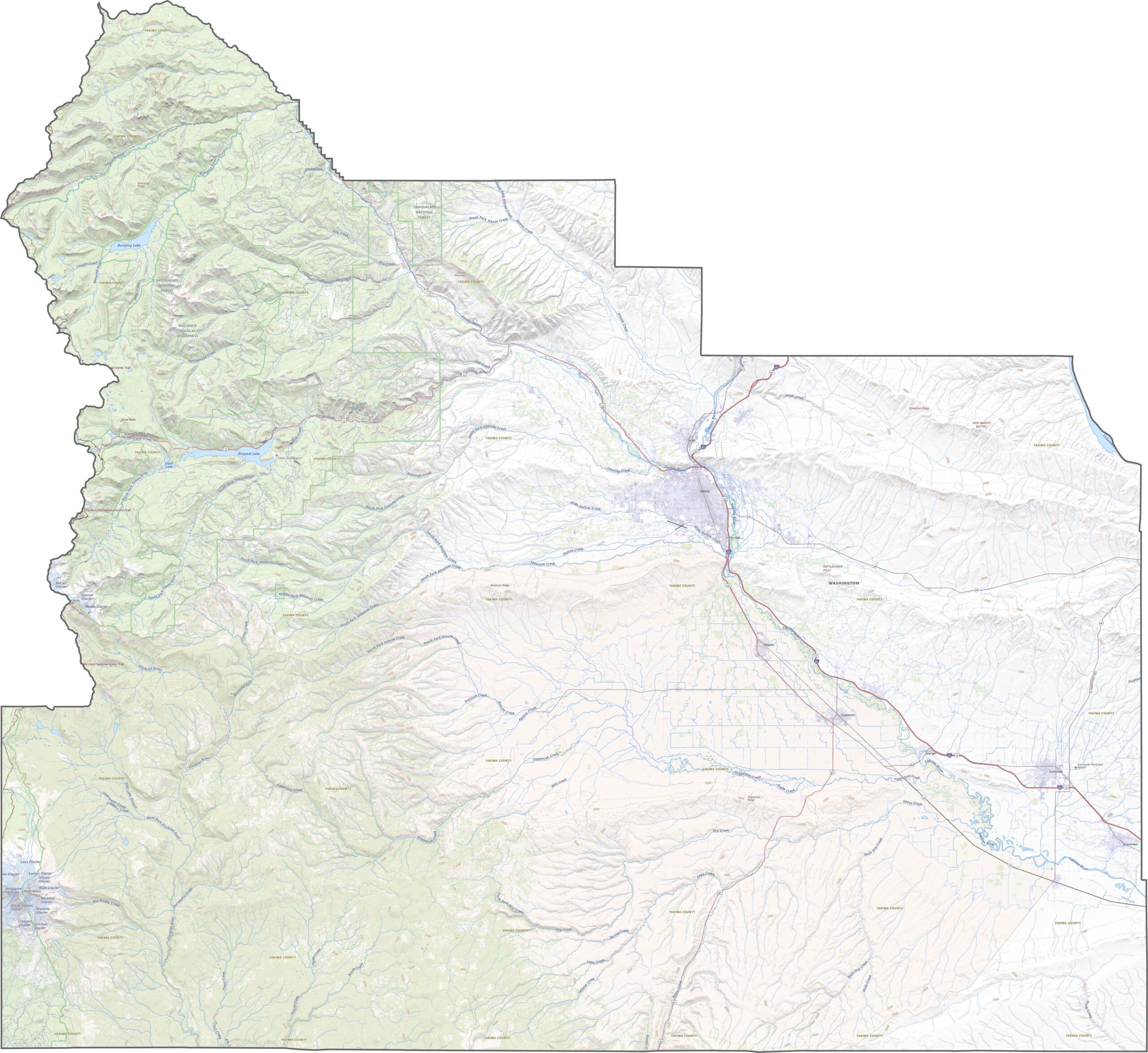
Interstate 82 runs through Yakima County, connecting it to the Tri-Cities and beyond. While I-82 offers a fast route through the area, drivers often take U.S. Route 97 to reach the backcountry. Once you’re off the main routes, things get rural quickly. Use our zoom tool to get a closer look at Yakima’s road network.
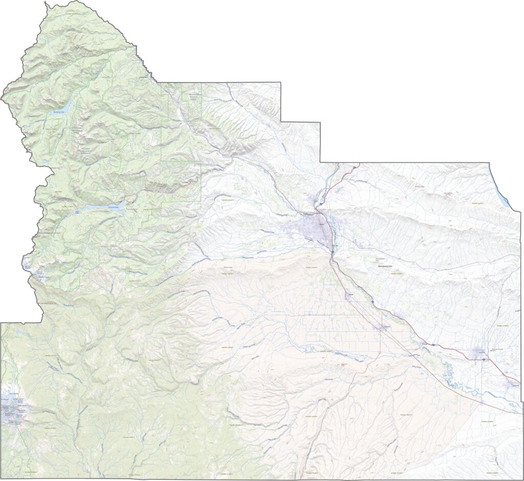
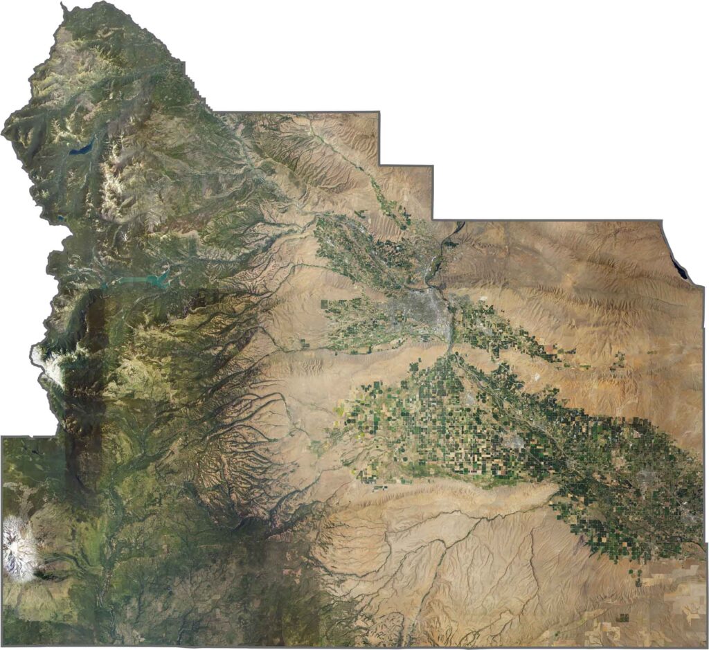
Yakima and Sunnyside stand out as clusters of buildings, but most of the county is wide open. Green crop circles are easy to spot, especially across the central and eastern regions. The ridges to the west cast sharp shadows, signaling where the Cascades begin.
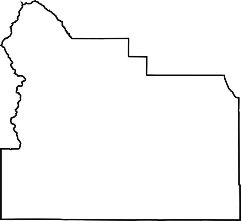
The county is tall and varied, with a wider base. It doesn’t quite border Oregon to the south, but it comes close. The western border hugs rugged terrain leading into the mountains.








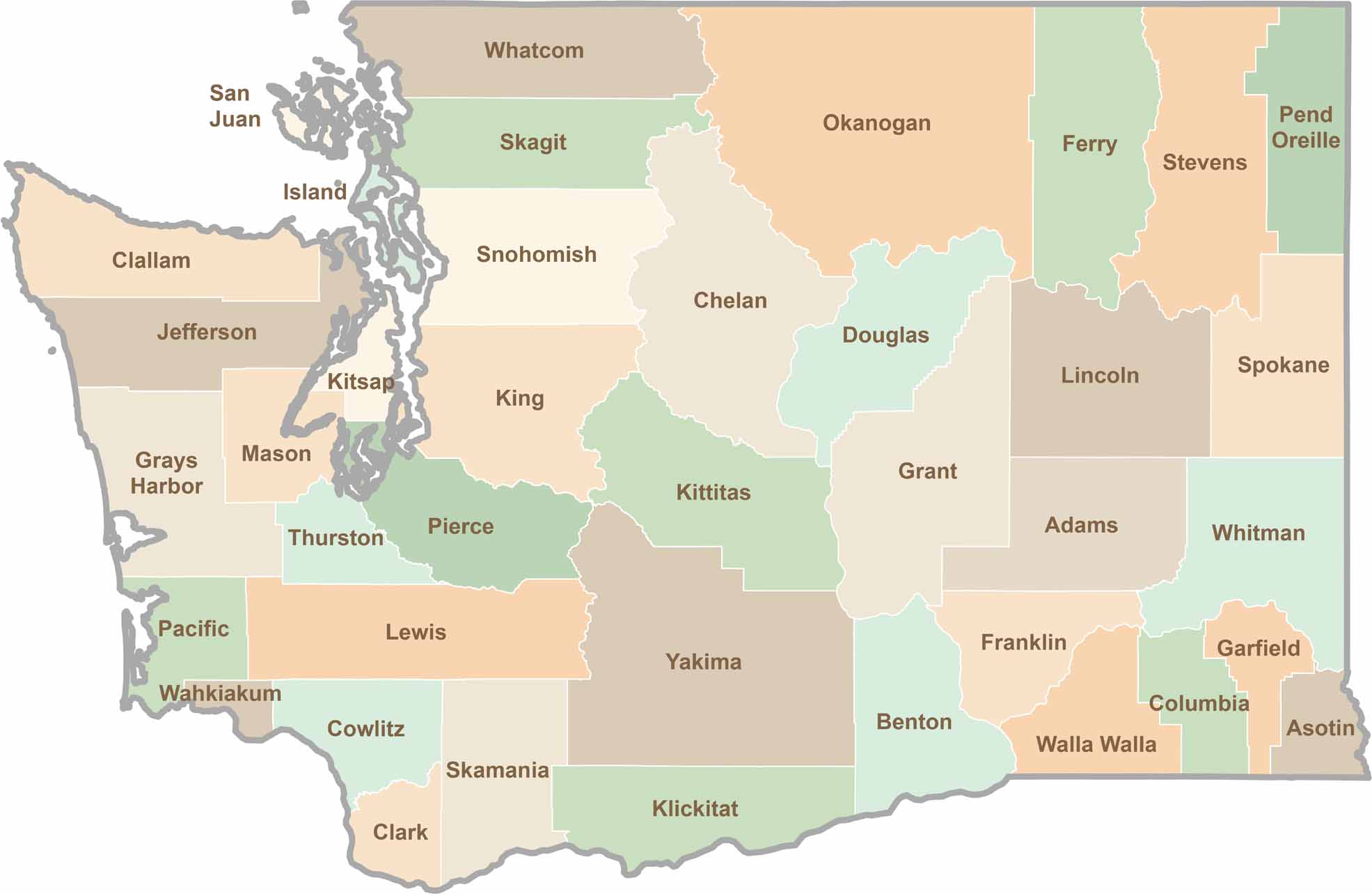
Seattle may get most of the attention, but the rest of Washington State is where the wild truly shines. From rugged Pacific coastlines and lush forests to towering mountain ranges, Washington’s 39 counties offer an incredible variety of landscapes, communities, and outdoor adventures. Explore them all and find your favorite place in Washington.