
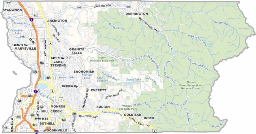
The Pacific Northwest has its gems, and Snohomish County is one of them. Just north of Seattle, it stretches from Puget Sound to the Cascade Mountains. Talk about variety. You’ve got bustling suburbs, quiet farmland, and rugged wilderness all in one place.
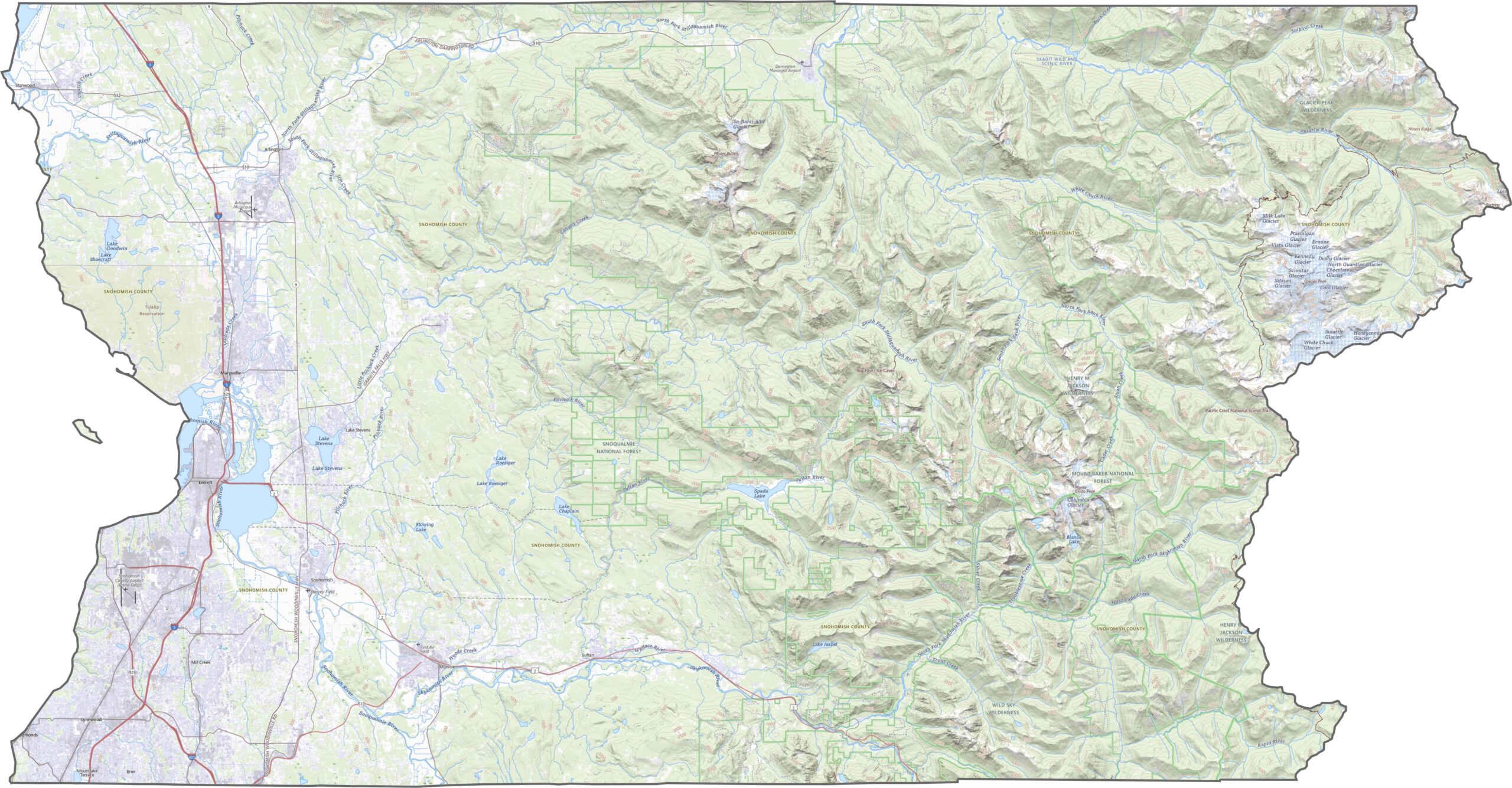
Everett is the county seat. It’s a blue-collar town with a growing arts scene, while Boeing’s massive factory churns out planes like clockwork. Farms still cover the landscape, especially around Arlington and Snohomish.
Head east and you’ll hit the Cascades, a paradise for hikers and skiers. The Skykomish and Stillaguamish Rivers thread through the county, offering prime spots for fishing and rafting. It’s a place that’s changing fast but hasn’t lost its roots.
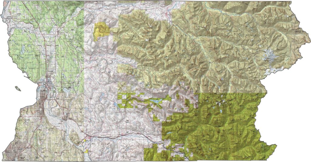
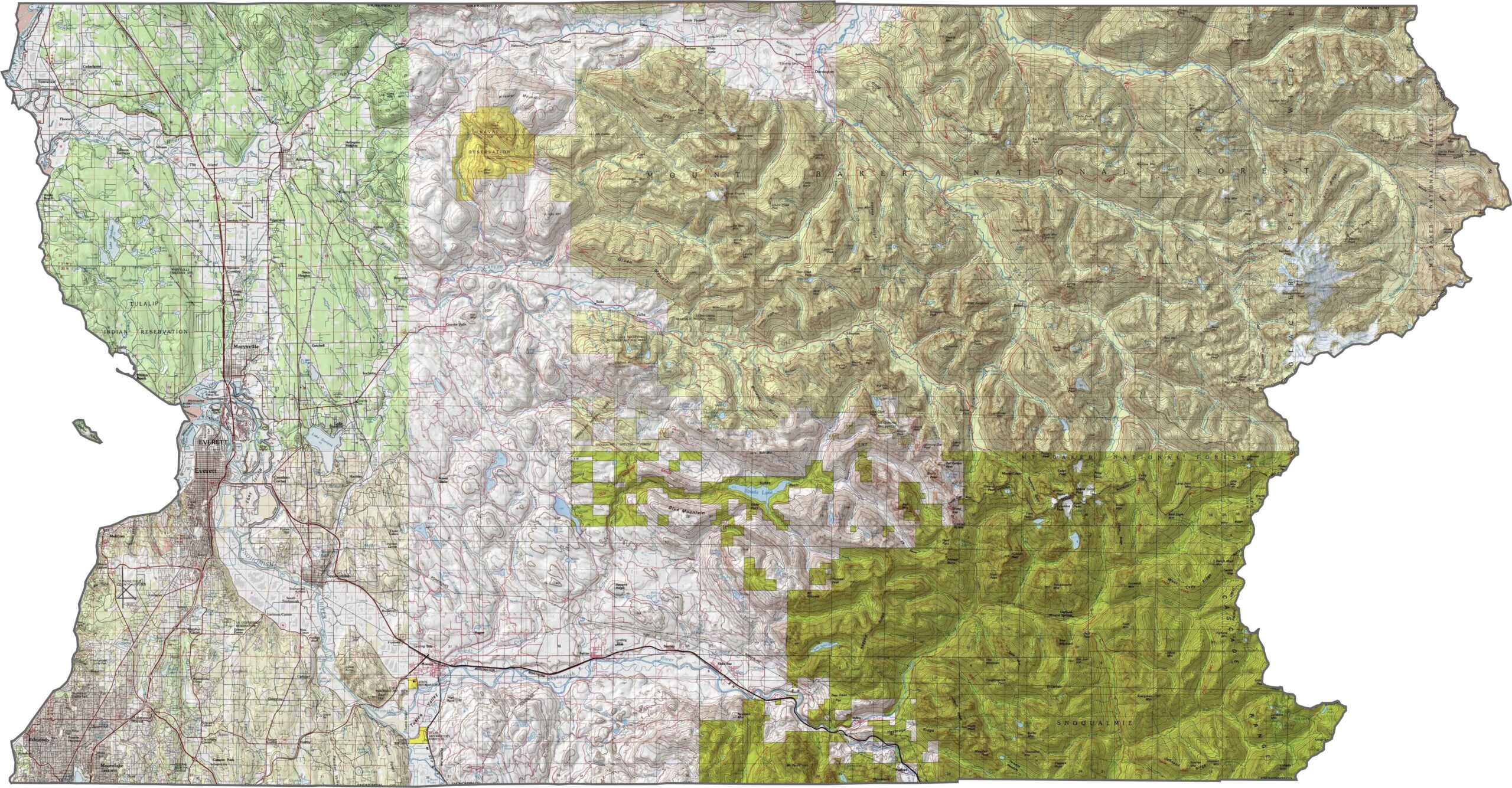
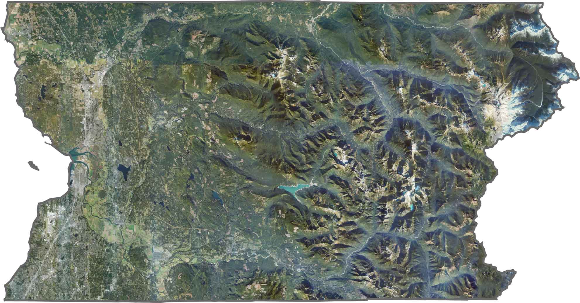
Snohomish County stretches from lowland rivers to snowy mountain ridges. The western half is mostly flat, shaped by the Snohomish and Stillaguamish rivers. But heading east, the elevation rises quickly, giving way to dense forests and high ridges.
Interstate 5 carries most of the traffic, running north-south through Everett. I-405 reaches the southern tip, while U.S. Route 2 heads east into the mountains. Still, many rural areas rely on two-lane highways. Use our zoom tool to spot every connection, from ferry docks to forest roads.
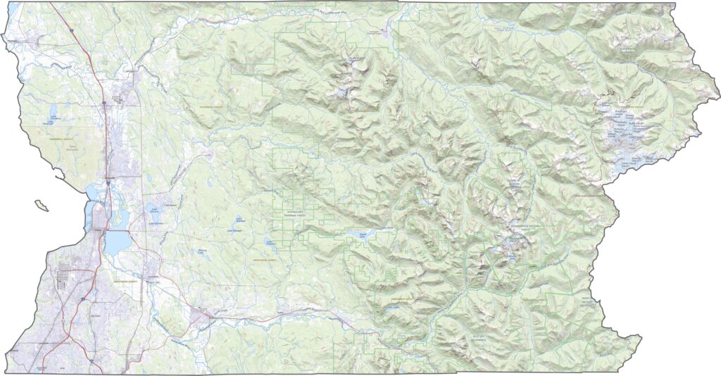
Everett stands out in the southwest, but much of the rest of the county is covered in green. Forests dominate the east, with lakes and rivers breaking up the canopy. The Cascade foothills create a clear dividing line, beyond which the landscape becomes increasingly wild.
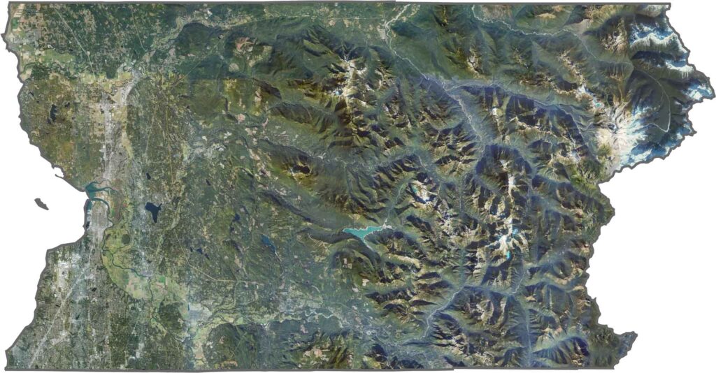
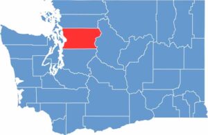
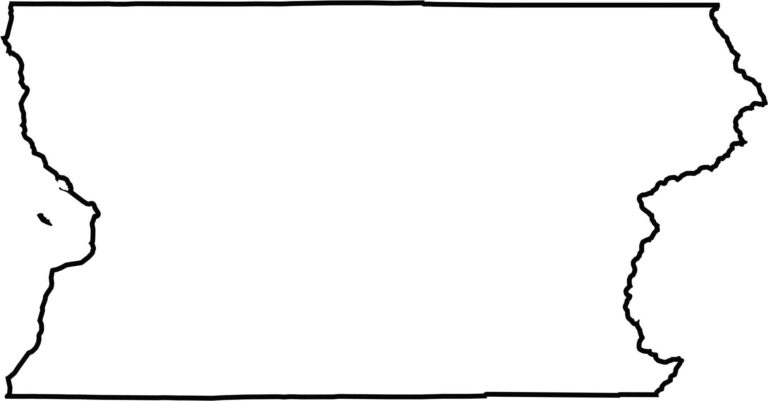
The county stretches from Puget Sound to the mountain crest. The western border follows the coastline, while the eastern edge zigzags along natural divides. It doesn’t border another state, but it sits tightly between King and Skagit counties.








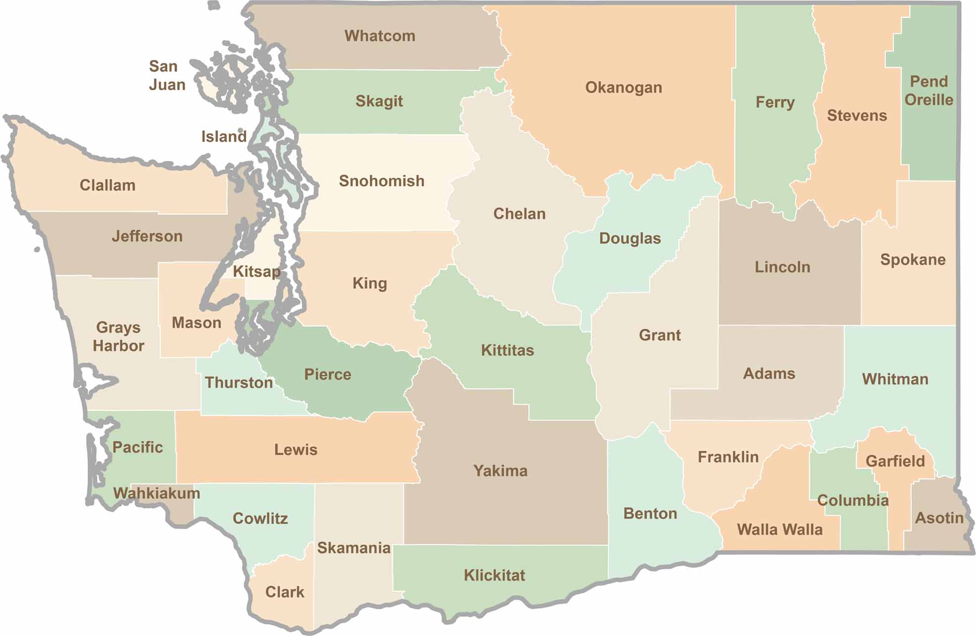
Seattle may get most of the attention, but the rest of Washington State is where the wild truly shines. From rugged Pacific coastlines and lush forests to towering mountain ranges, Washington’s 39 counties offer an incredible variety of landscapes, communities, and outdoor adventures. Explore them all and find your favorite place in Washington.