
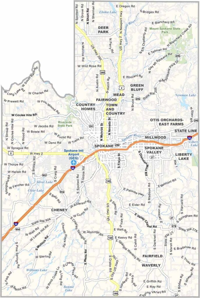
Spokane County is located in eastern Washington, right in the urban heart of the region. It sits along the Idaho border and is anchored by the city of Spokane. The Spokane River runs through town, with dramatic falls right in the heart of downtown.
Gonzaga University is one of the state’s top athletic universities. There’s more to the county than just the city, though. You’ll find plenty of agriculture, including rolling fields of wheat. Up north, lakes and forests add even more variety to the landscape.
Fairchild Air Force Base is a major presence here. The economy is diverse, with everything from healthcare to manufacturing playing a role. Winters can be tough, but locals embrace the four seasons. It’s a place with a chip on its shoulder, always trying to prove it’s more than just Seattle’s eastern cousin.
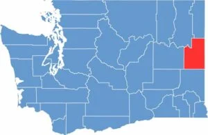
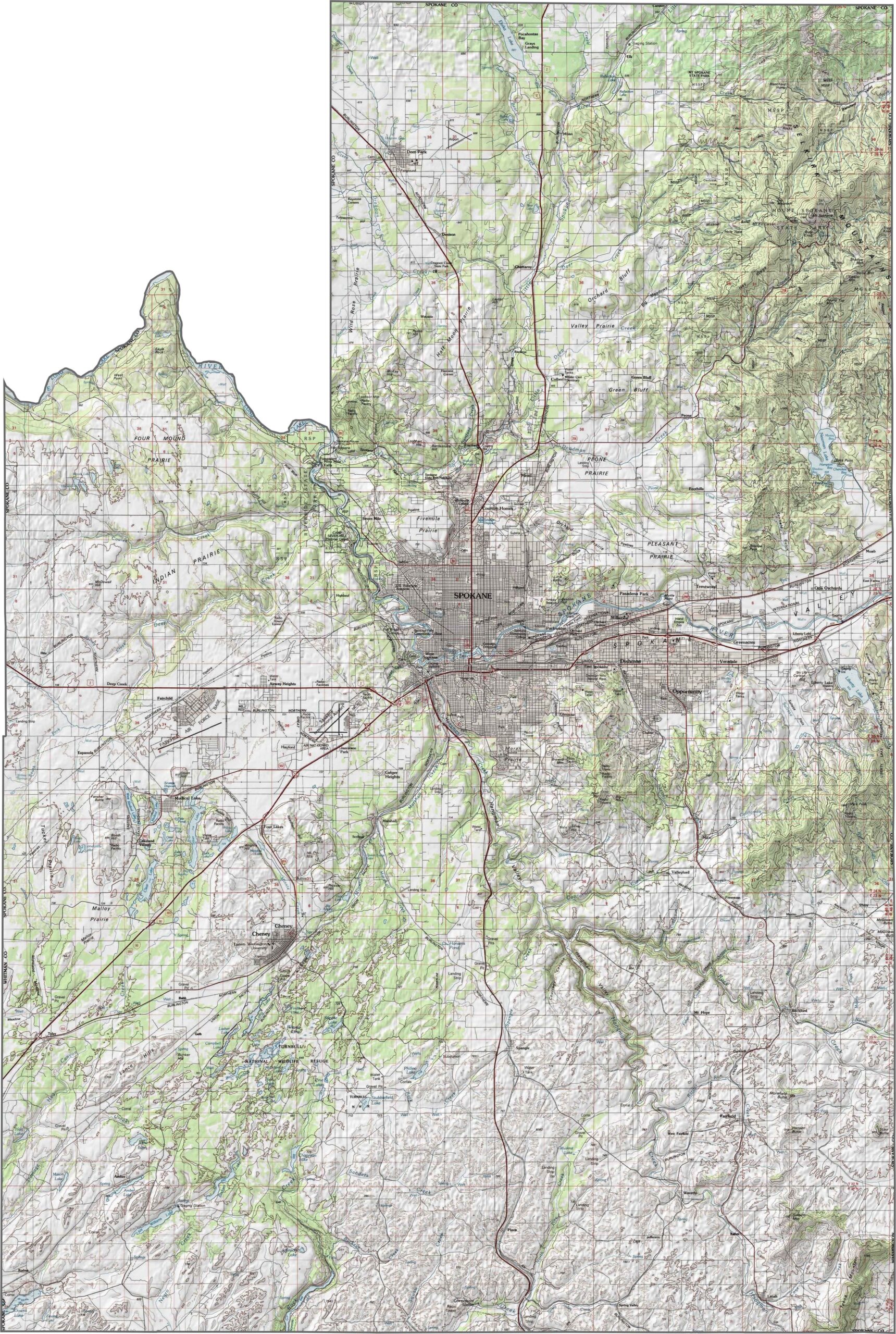
Spokane County blends prairie and pine, with elevation rising toward the east. The terrain flattens in the west, while the foothills of the Selkirk Mountains creep in near the Idaho border. The Spokane River winds through the city, cutting across the basalt landscape.
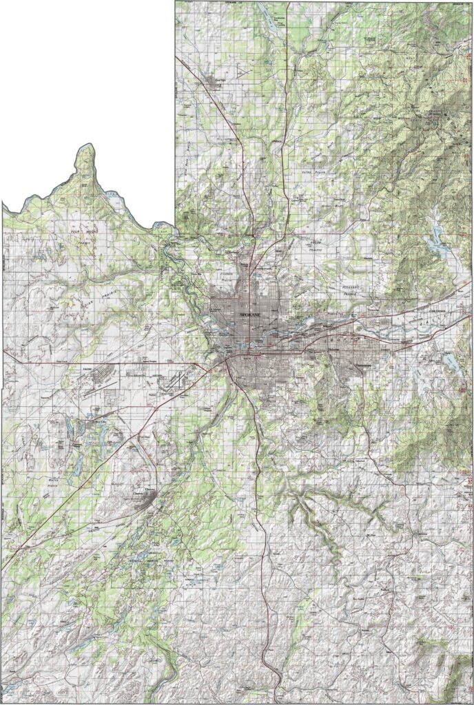
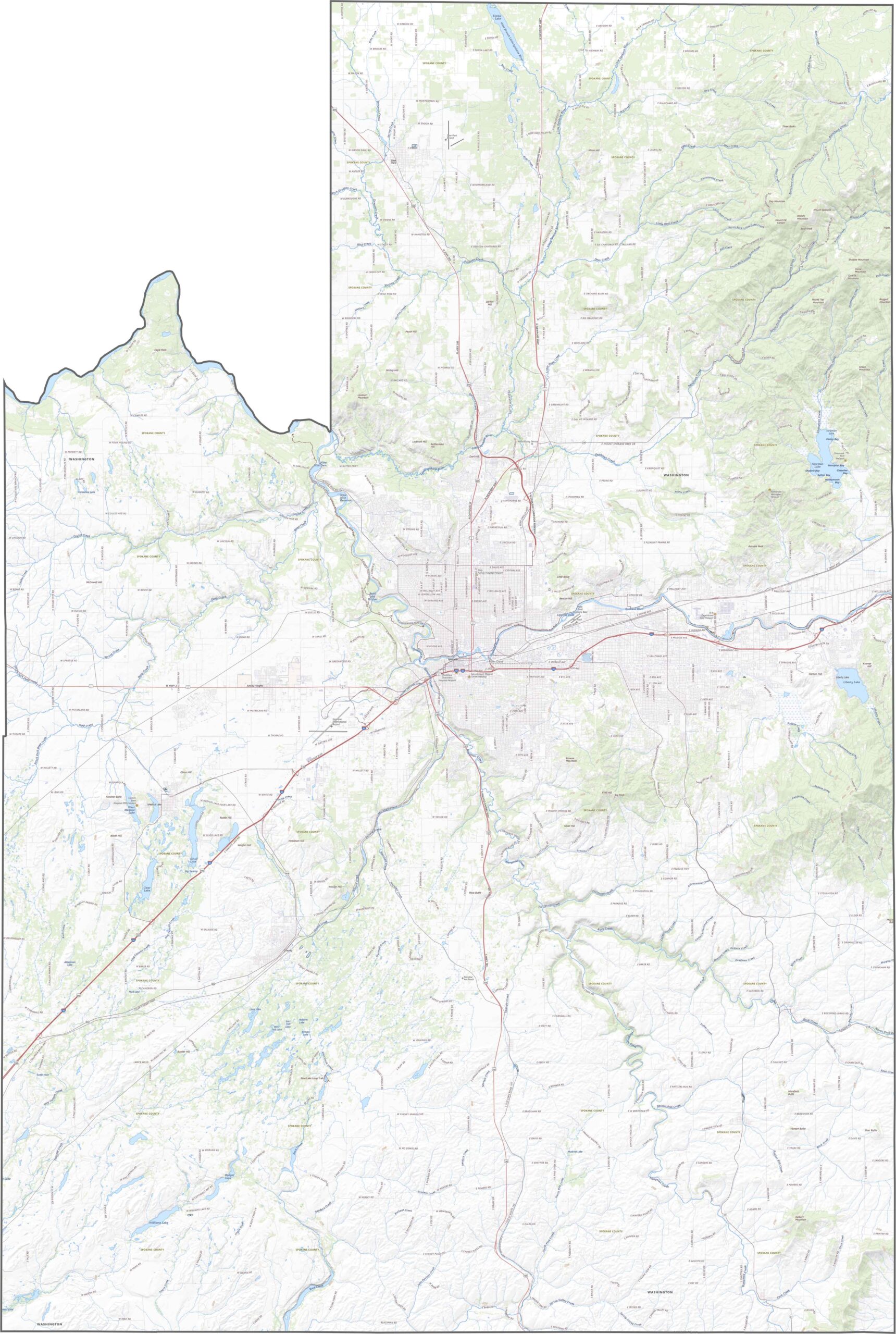
Interstate 90 runs straight through the county from east to west. It’s the primary route, while State Route 395 and other highways fan out toward smaller towns and rural areas. Once you get out of Spokane proper, however, the roads thin out quickly. Our zoom tool lets you see them all.
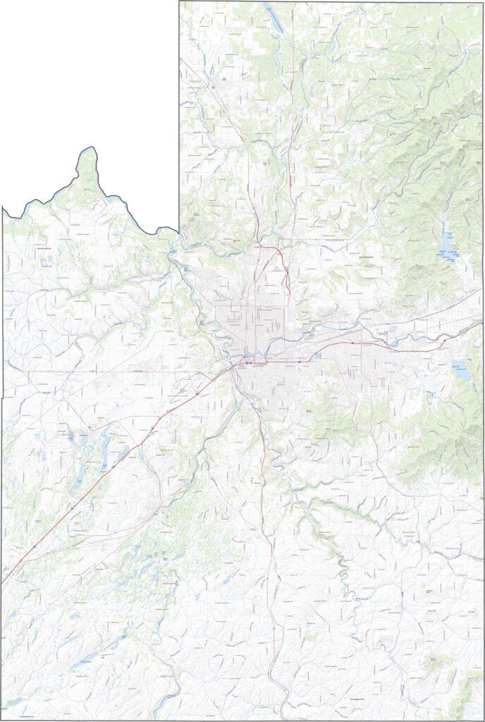
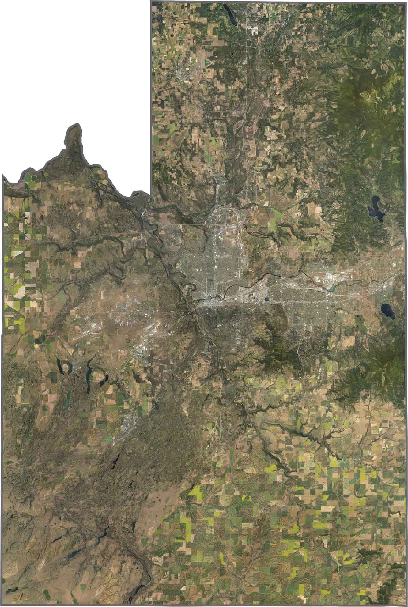
From space, the city of Spokane pops out in the center of the county. Patches of forest blend with neighborhoods, while the river carves a dark line through it all. Toward the edges, farmland and scrubland return quickly.
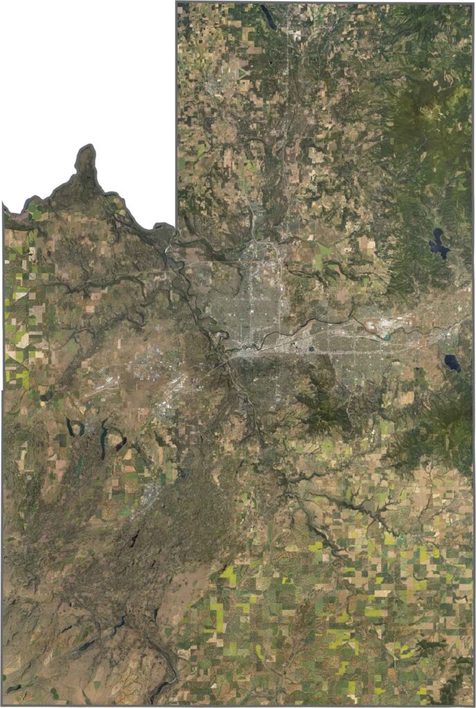
Spokane County is roughly rectangular, with a piece taken out of the northwest. It borders Idaho along its eastern edge, following a clean vertical line. Most other borders are straight, except where the Spokane River forms part of the northwest border.









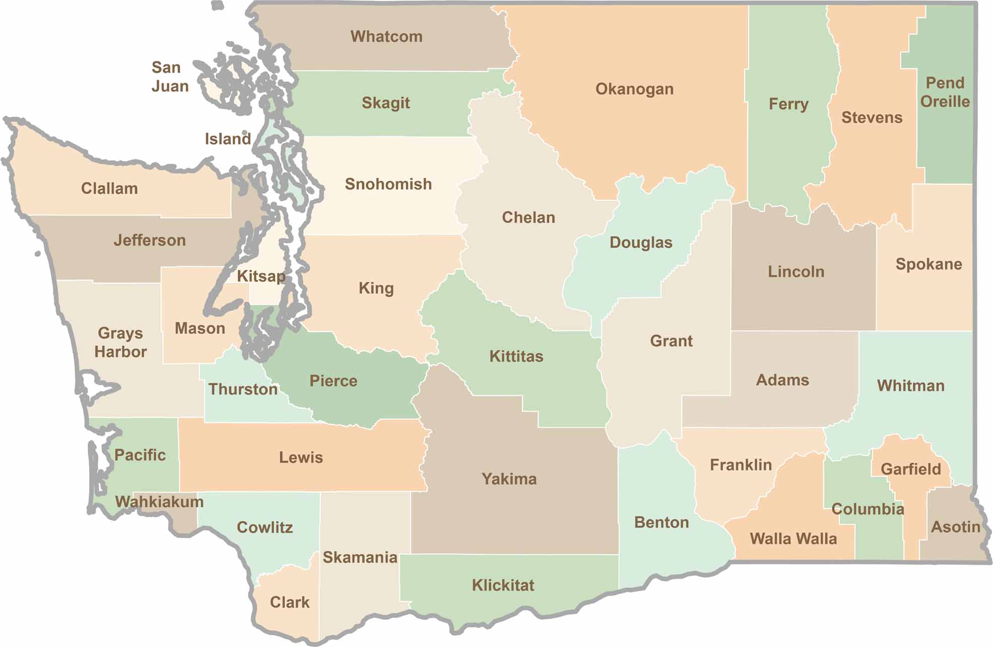
Seattle may get most of the attention, but the rest of Washington State is where the wild truly shines. From rugged Pacific coastlines and lush forests to towering mountain ranges, Washington’s 39 counties offer an incredible variety of landscapes, communities, and outdoor adventures. Explore them all and find your favorite place in Washington.