
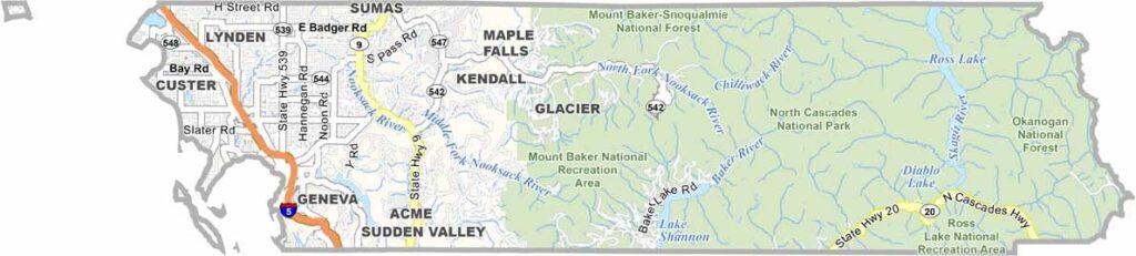
Whatcom County sits at the northwestern tip of Washington state, right along the Canadian border. It’s home to Bellingham, a laid-back college town with a lively arts scene.
The county boasts some of the most diverse landscapes in the state. You’ve got the San Juan Islands to the west, the North Cascades to the east, and plenty of scenery in between.
Mount Baker, a dormant volcano, is a playground for skiers and snowboarders. The area is also known for outdoor recreation such as hiking, mountain biking, and kayaking. Farms along the Nooksack River valley produce everything from berries to dairy.
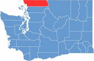
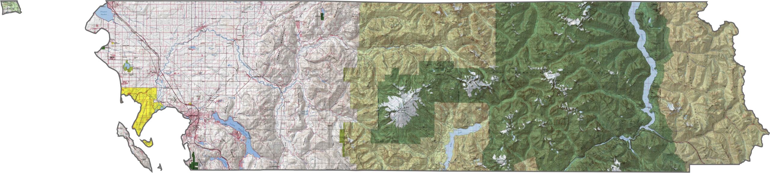
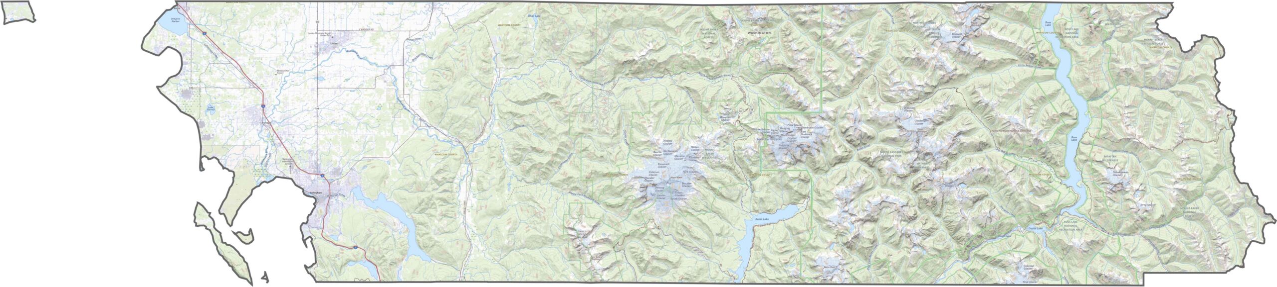
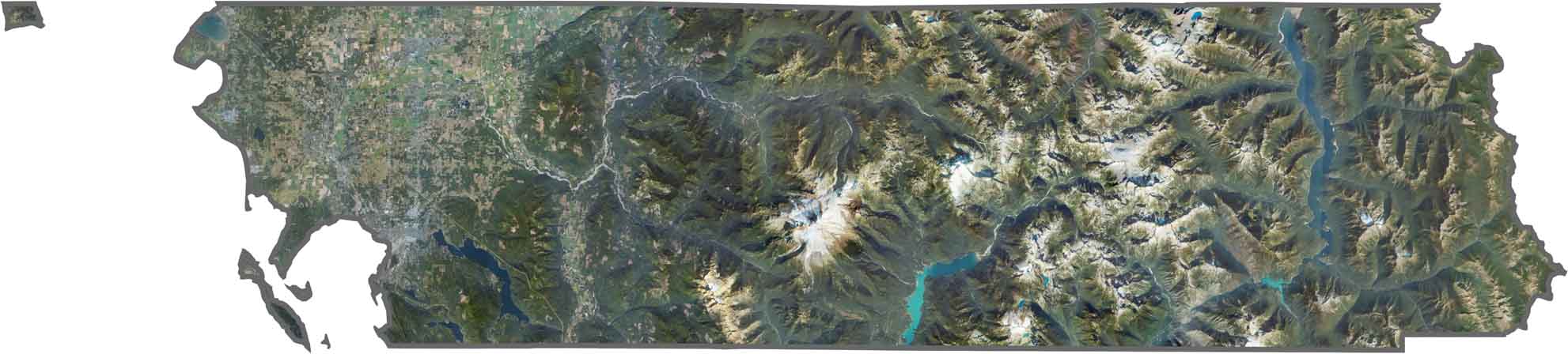
Whatcom County is where the mountains crash into the sea. The North Cascades rise in the east, with Mount Baker towering at more than 10,000 feet. Meanwhile, the western edge levels out into bays, farmland, and the softer terrain around Bellingham.
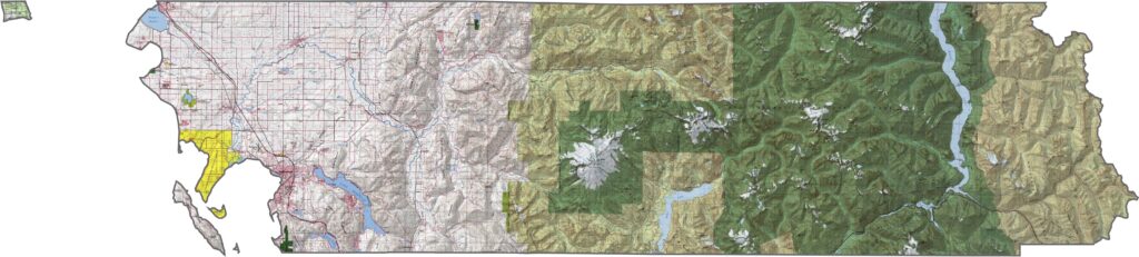
Interstate 5 slices north to south, hugging the coast before reaching the Canadian border. It’s the main artery here, while State Route 542 winds east toward the mountains. Once you get into the forest, however, roads become scarce and steep.
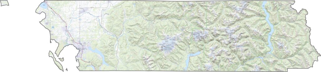
From above, Bellingham stands out along the shoreline, while dark forests stretch inland. Snowcapped Mount Baker is a bright focal point, even from high above. Along the coast, Lummi and Portage Islands also peek into view.
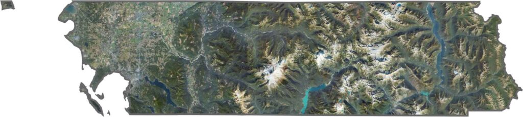
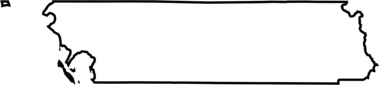
The county’s shape is wide and jagged, especially where the mountains take over. The northern edge forms an international border with British Columbia. To the west, it touches Puget Sound, while the eastern side fades into forested wilderness.








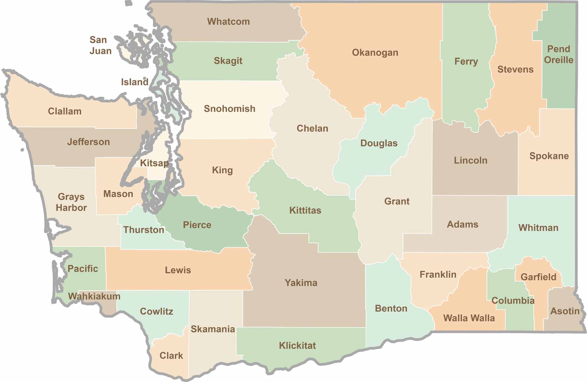
Seattle may get most of the attention, but the rest of Washington State is where the wild truly shines. From rugged Pacific coastlines and lush forests to towering mountain ranges, Washington’s 39 counties offer an incredible variety of landscapes, communities, and outdoor adventures. Explore them all and find your favorite place in Washington.