
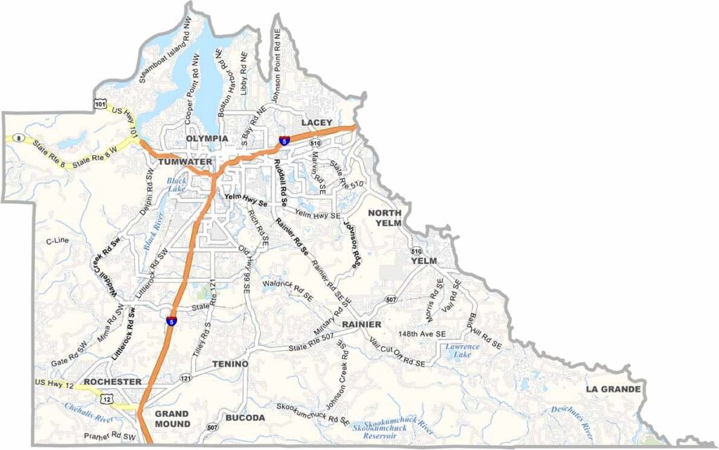
The state capital calls Thurston County home. Olympia sits at the southern tip of Puget Sound, giving the area a mix of government-town energy and coastal community vibes. It’s right in the middle of western Washington.
The county has a bit of everything, including cities, suburbs, farms, and forests. Olympia and Lacey are the urban centers, while places like Tenino keep things rural. It’s also one of the fastest-growing parts of the state.
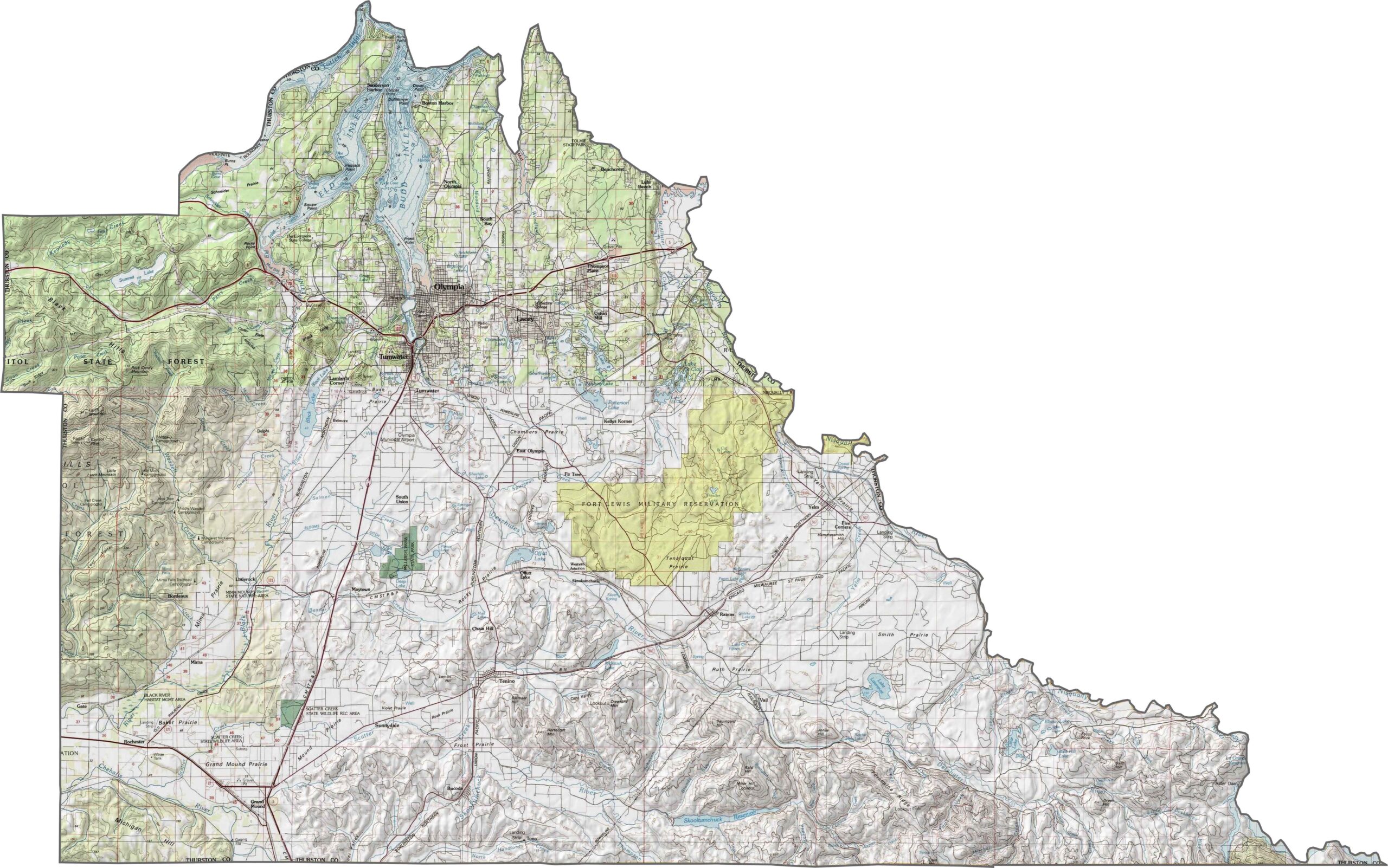
The Nisqually River delta is a bird watcher’s paradise. People are drawn here by the jobs, scenery, and laid-back atmosphere. You’ll find plenty of coffee shops and breweries around the area. It rains a lot, but locals just shrug it off.
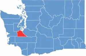
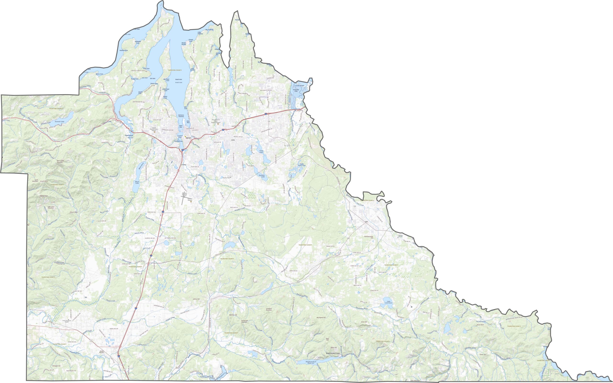
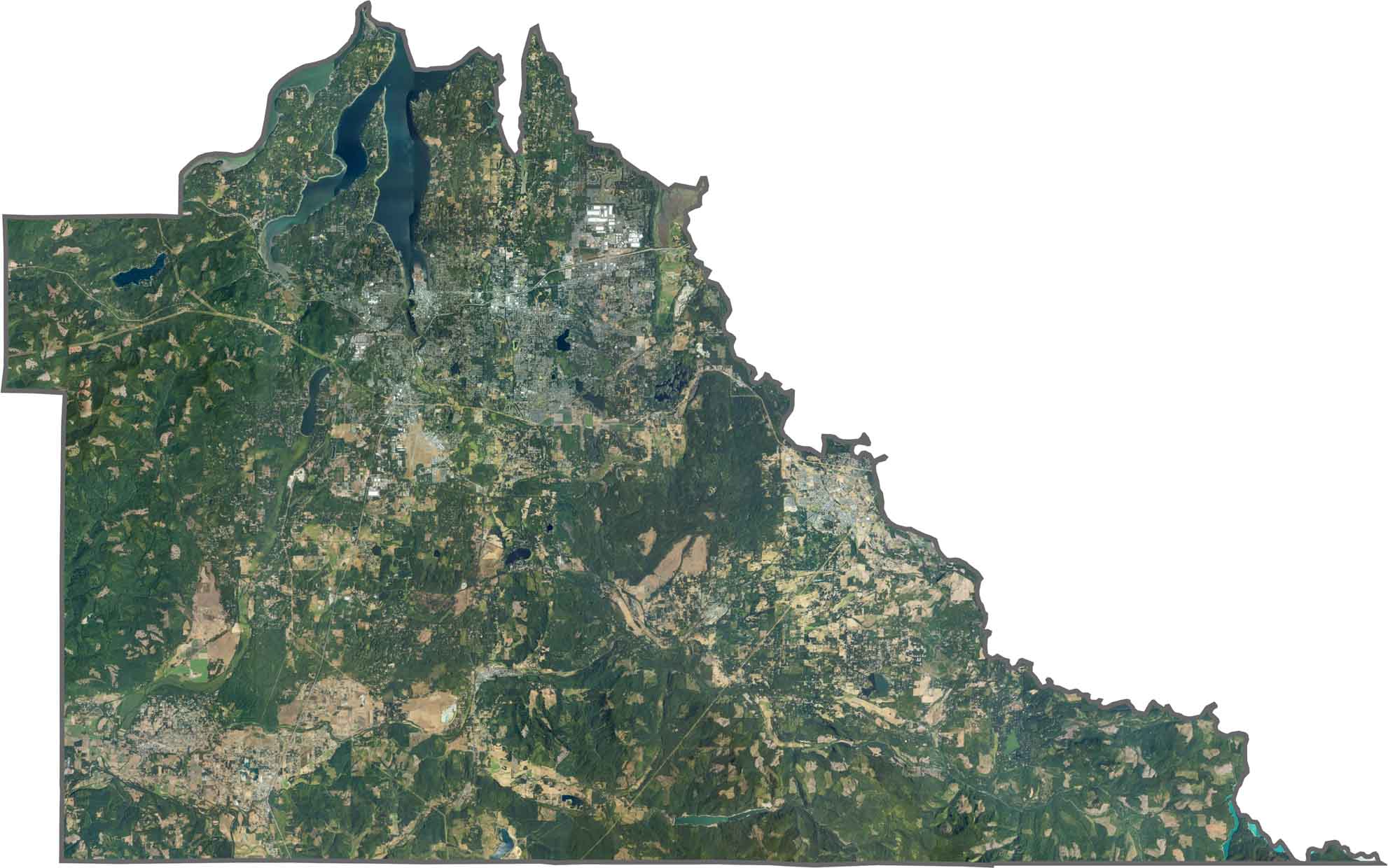
Thurston County starts low and coastal, then gradually rises inland. Near Olympia, the land flattens, but head south and the terrain becomes more forested and uneven. Several inlets extend north near Olympia, including Budd, Eld, and Totten Inlets.
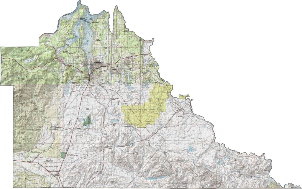
Interstate 5 cuts right through the county, serving as its backbone. While Olympia is well connected, areas outside the core rely more on state highways. Traffic patterns can shift quickly depending on the direction of travel. You can use our zoom tool to follow every route through the capital region.
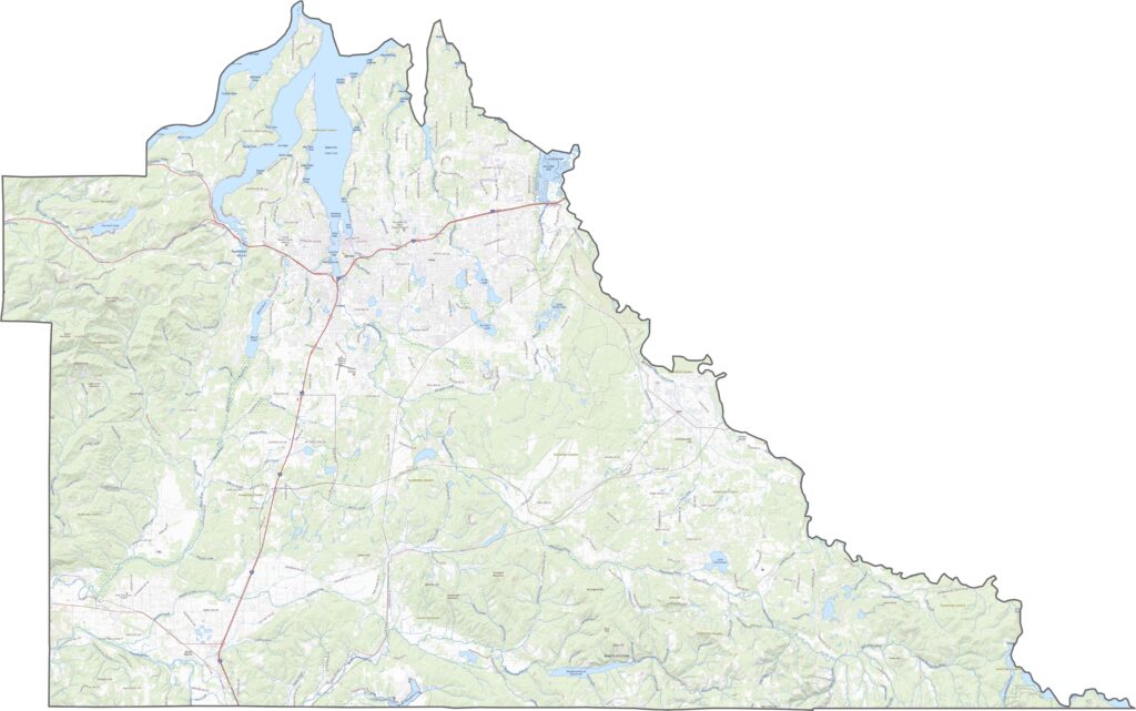
Thurston County is a green-looking county with several prominent inlets. Around Olympia, suburban neighborhoods spread into forests and fields. Despite being a government hub, the county still looks more green than gray from above.
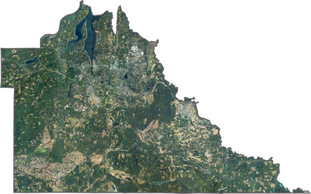
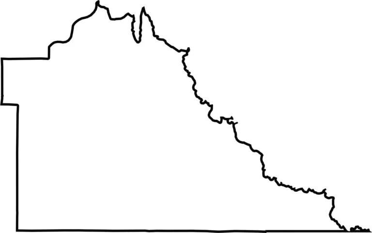
Thurston County has a flat base and a rounded eastern border that follows the Nisqually River. Although it doesn’t border another state, the inlets and river help define its northern edge.








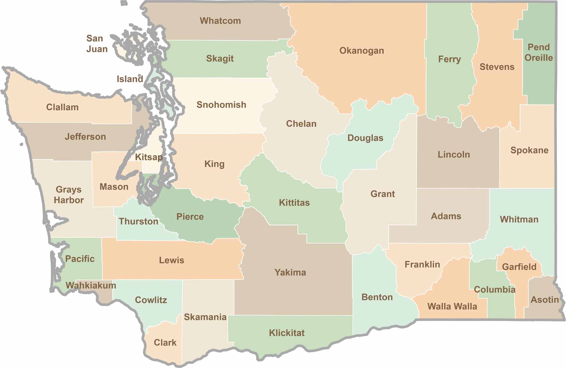
Seattle may get most of the attention, but the rest of Washington State is where the wild truly shines. From rugged Pacific coastlines and lush forests to towering mountain ranges, Washington’s 39 counties offer an incredible variety of landscapes, communities, and outdoor adventures. Explore them all and find your favorite place in Washington.