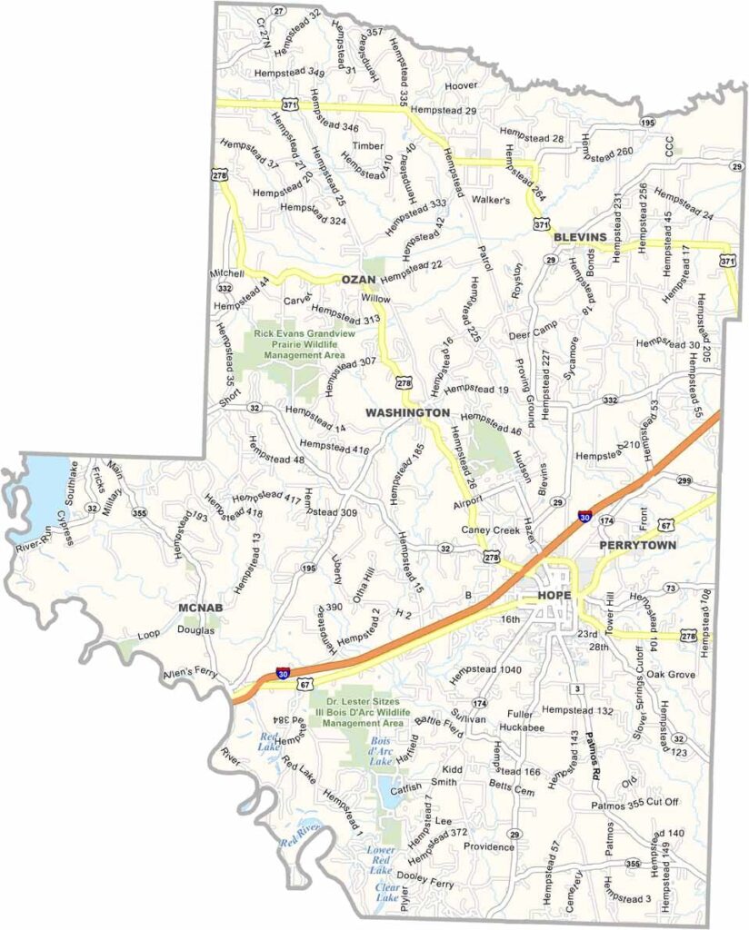
Hempstead County, Arkansas

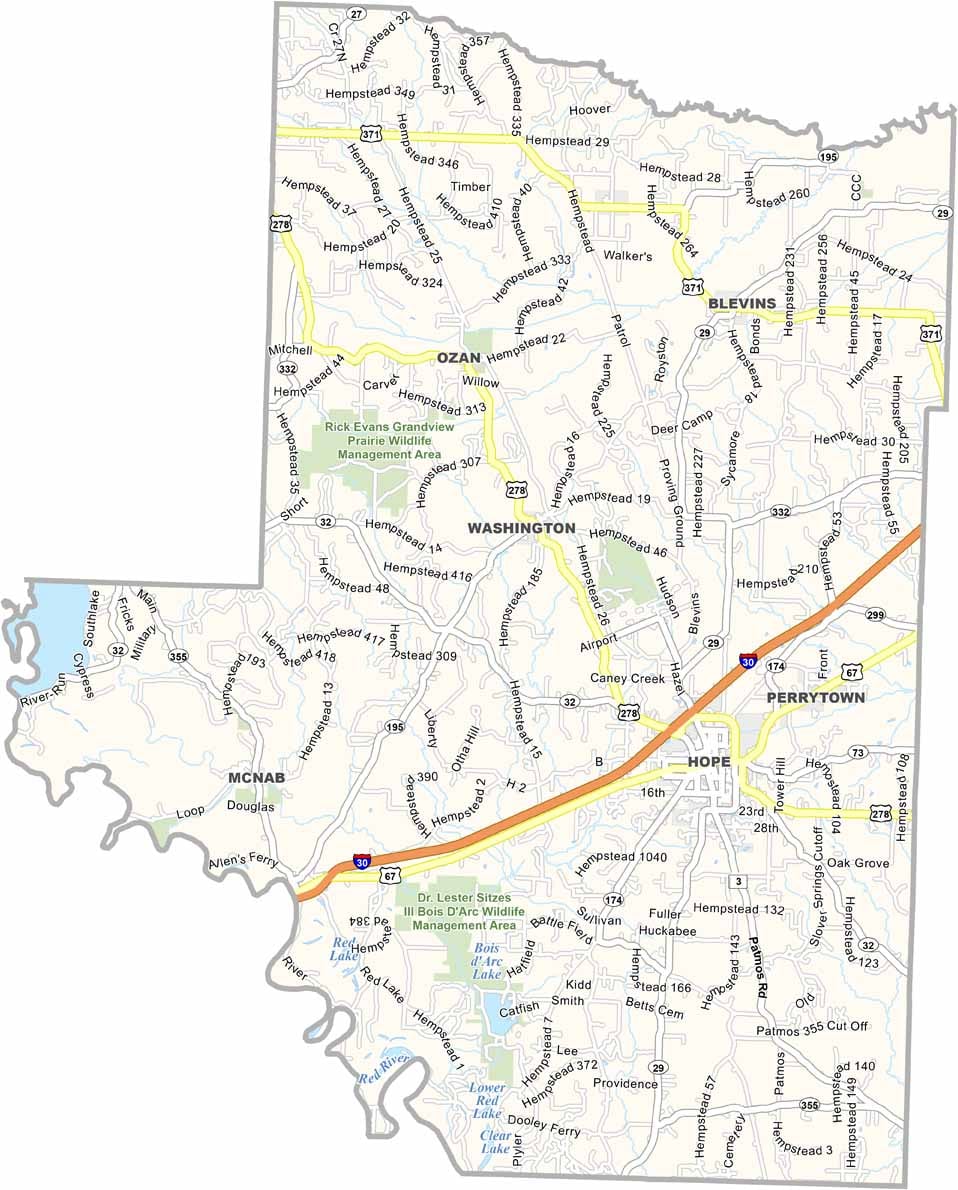
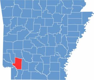
Hempstead County is located in southwest Arkansas, with Hope serving as the county seat. The city is well known as the birthplace of President Bill Clinton.

The county is famous for its watermelons and rich history. The annual Hope Watermelon Festival celebrates the area's famous crop, while Historic Washington State Park preserves a 19th-century town and showcases Arkansas history.

Hempstead County has a diverse landscape, ranging from rolling hills to bottomlands along the Red River. Interstate 30 and U.S. Route 278 provide convenient routes through the county.
CategoryDetails
County NameHempstead County
County SeatHope
PopulationApproximately 20,000
Cities, Towns, and CommunitiesHope, Blevins, Fulton, McNab, Oakhaven, Perrytown, Washington
Interstates and HighwaysInterstate 30, U.S. Route 67, U.S. Route 278, State Route 4, State Route 32, State Route 174
FIPS Code05-057
Total Area (Land and Water)741 square miles (Land: 728 sq mi, Water: 13 sq mi)
Adjacent Counties (and Direction) Pike County (North), Nevada County (East), Lafayette County (South), Miller County (Southwest), Little River County (West), Howard County (Northwest)
Time ZoneCentral Standard Time (CST)
StateArkansas
Coordinates33.6676° N, 93.5853° W
EtymologyNamed after Edward Hempstead, the first delegate to the U.S. Congress from the Missouri Territory
Major LandmarksHistoric Washington State Park, President William Jefferson Clinton Birthplace Home National Historic Site, Crater of Diamonds State Park (nearby), Hope Watermelon Festival
Scroll to Top