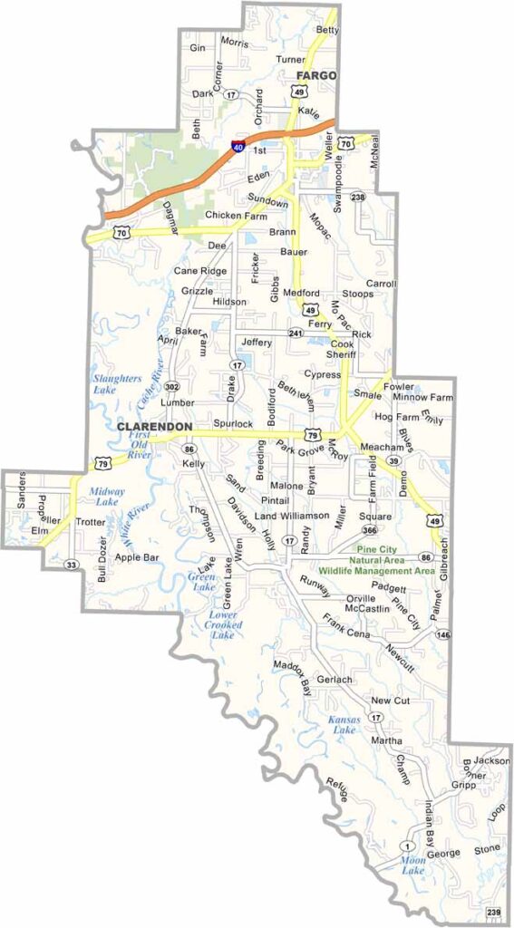
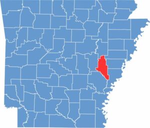
Monroe County, Arkansas

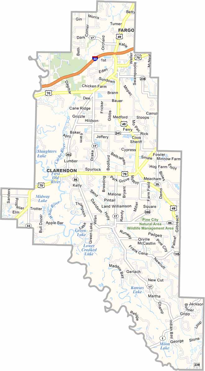
Monroe County is located in eastern Arkansas, deep within the Mississippi Delta. Clarendon serves as the county seat and sits along the White River, with strong connections to the region’s outdoor recreation.

Part of the Cache River National Wildlife Refuge is located in Monroe County. The refuge is known for its ancient cypress trees and excellent duck hunting opportunities.

Agriculture dominates the county’s landscape, with vast fields of rice and soybeans. Louisiana Purchase State Park also marks the initial point from which land surveys of the Louisiana Purchase began.
County NameMonroe County
County SeatClarendon
EtymologyNamed after James Monroe, the fifth President of the United States
Cities, Towns, and CommunitiesClarendon, Brinkley, Holly Grove, Roe, Fargo, Blackton, Monroe
Interstates and HighwaysInterstate 40, U.S. Route 49, U.S. Route 70, State Route 17, State Route 39, State Route 302
FIPS Code05-095
Total Area (Land and Water)621 square miles (Land: 607 sq mi, Water: 14 sq mi)
Adjacent Counties (and Direction)Woodruff County (North), St. Francis County (Northeast), Lee County (East), Phillips County (Southeast), Arkansas County (Southwest), Prairie County (West)
Time ZoneCentral Standard Time (CST)
StateArkansas
Coordinates34.6937° N, 91.2026° W
Major LandmarksWhite River National Wildlife Refuge, Louisiana Purchase State Park, Monroe County Courthouse, Cache River National Wildlife Refuge (part), Clarendon Historic District
PopulationApproximately 6,500
Scroll to Top