
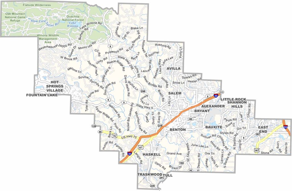
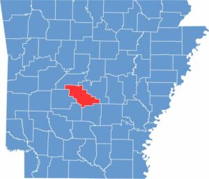
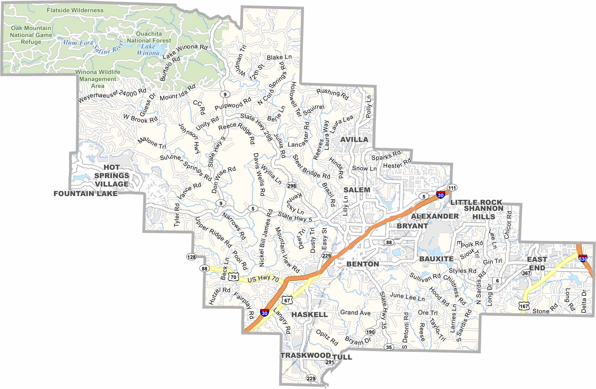
Saline County is located in central Arkansas and is one of the fastest-growing areas in the state, largely because of its proximity to Little Rock. Its location along Interstate 30 has also contributed to the county’s continued growth.
Benton, the county seat, has a population of around 125,000 and offers a comfortable suburban lifestyle. Tyndall Park and the Farmers Market are popular local attractions in Benton.
The Saline River flows through the county and provides popular opportunities for fishing and canoeing. The area also features walking trails, sports fields, and playgrounds for family recreation.
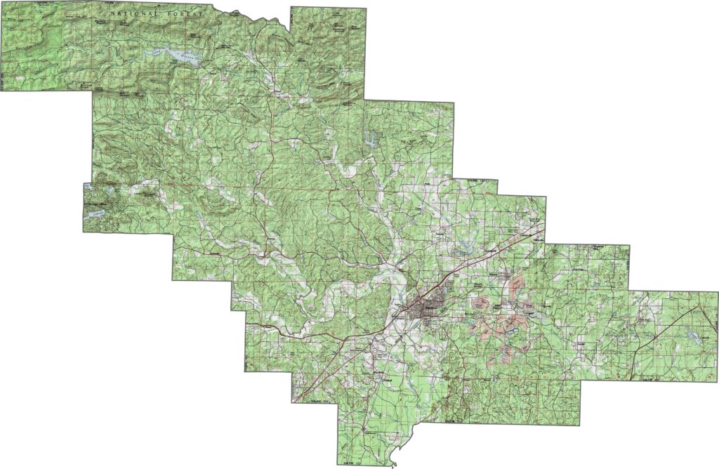
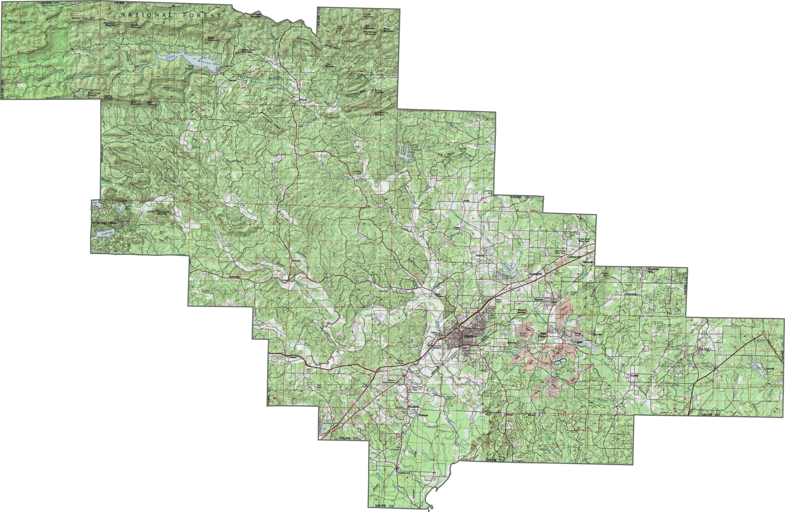
This topographic map of Saline County reveals how the terrain rises from east to west as it approaches the Ouachita Mountains. Our new zoom tool lets you explore the hills, valleys, and river landscapes throughout the county.
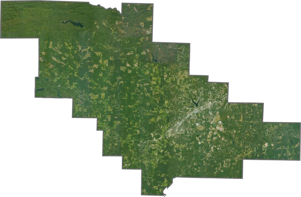
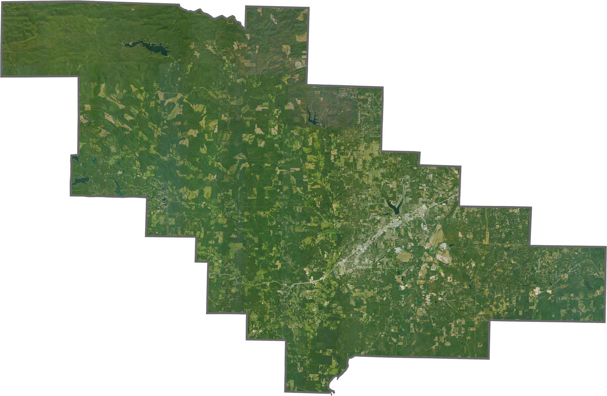
This satellite view of Saline County shows Benton transitioning into forested areas, with the Saline River flowing through the county. The western edge includes portions of the Ouachita National Forest.
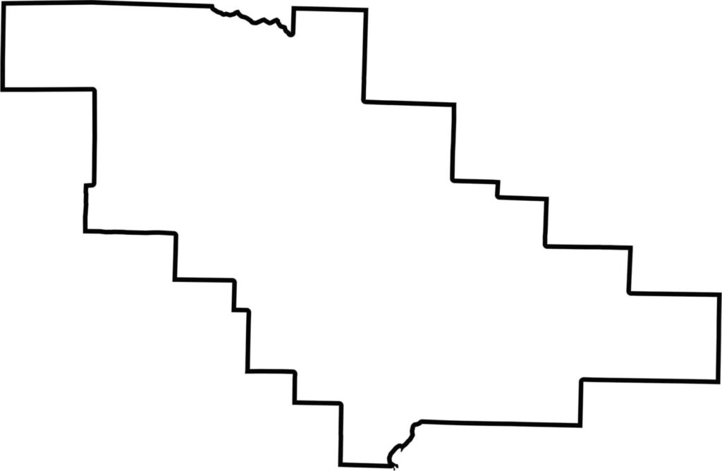
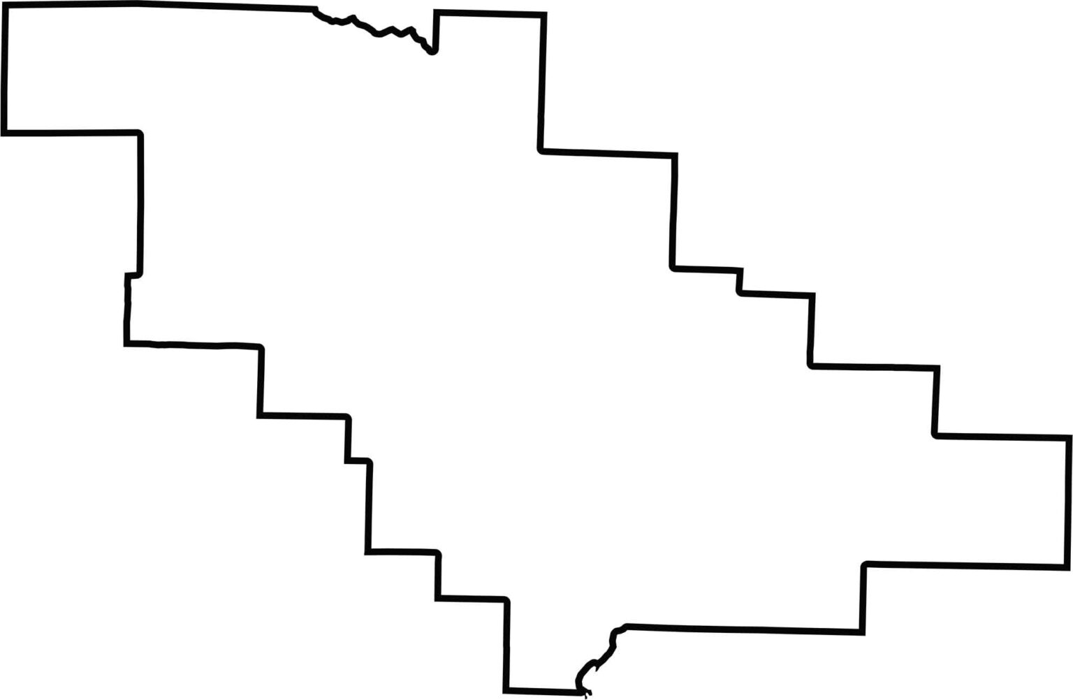
This blank map of Saline County, Arkansas outlines its borders in central Arkansas. The simple county boundary provides a clean template for identifying towns, landmarks, and natural features.
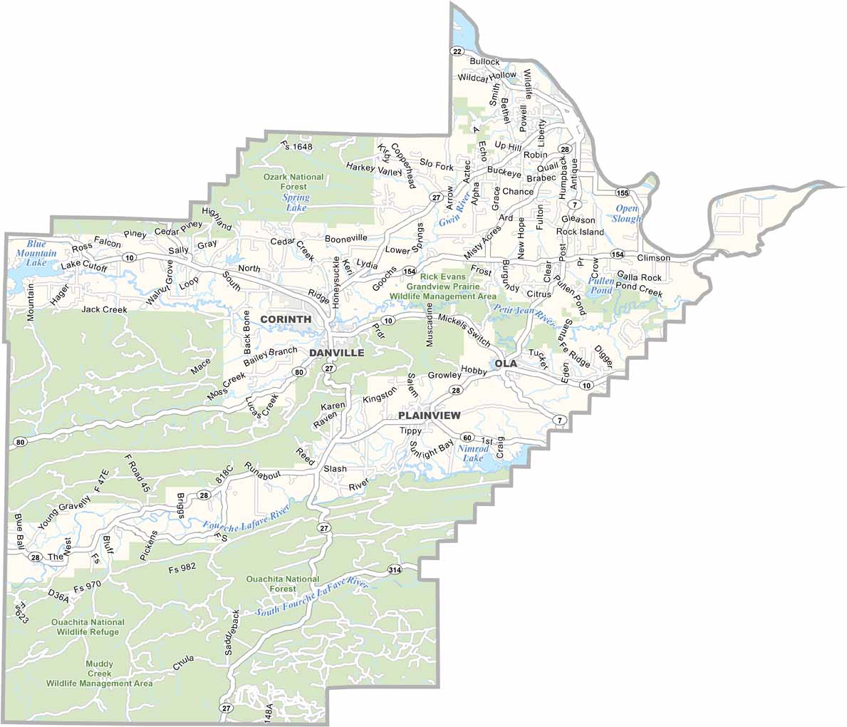
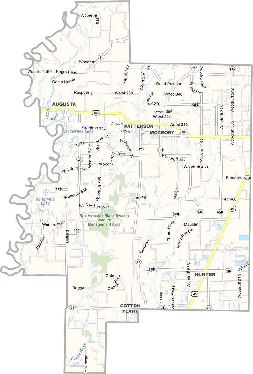
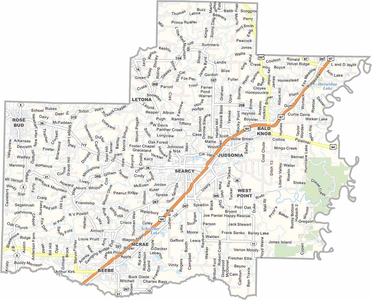


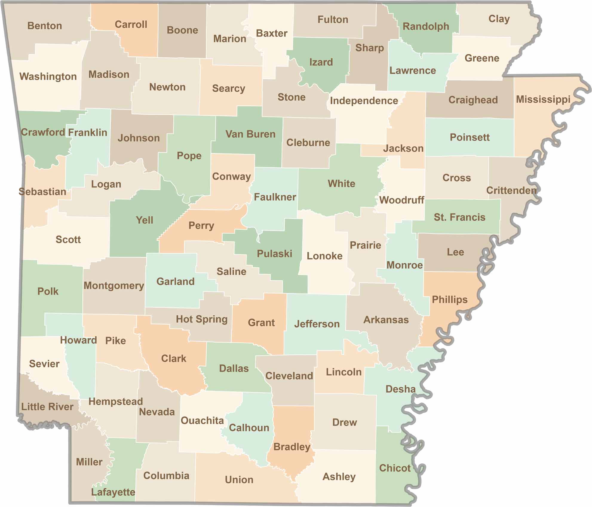
Discover all 75 Arkansas counties with our detailed and easy-to-read map. Explore the Natural State’s cities, scenic byways, and notable attractions with ease. This Arkansas county map is perfect for travelers, students, researchers, and anyone interested in learning more about the state.