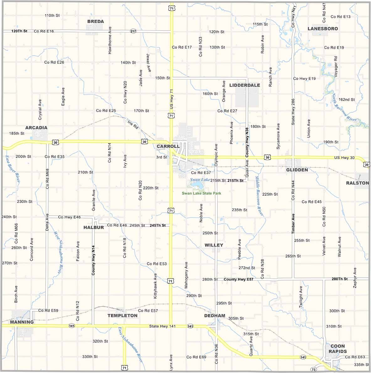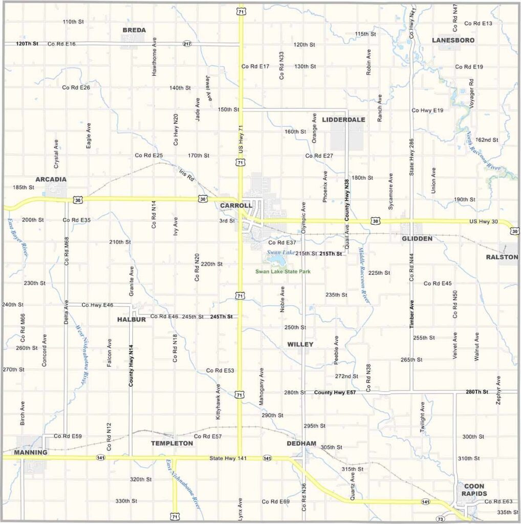
Carroll County, Iowa

Carroll County is located in west-central Iowa, where the Loess Hills of western Iowa transition into the flatter terrain of central Iowa. The county is primarily agricultural, with broad farmland shaping much of the landscape.

Carroll, the county’s largest community, combines German heritage with modern amenities and local attractions. History and railroad enthusiasts can visit the historic Milwaukee Railroad trestle bridge near Manning, a notable reminder of the area’s transportation past.

With a population of about 20,000, Carroll County serves as a regional hub for surrounding rural communities. Swan Lake State Park is a popular destination for camping, wildlife watching, and outdoor recreation. Despite its size, the county offers a variety of amenities, attractions, and recreational opportunities.
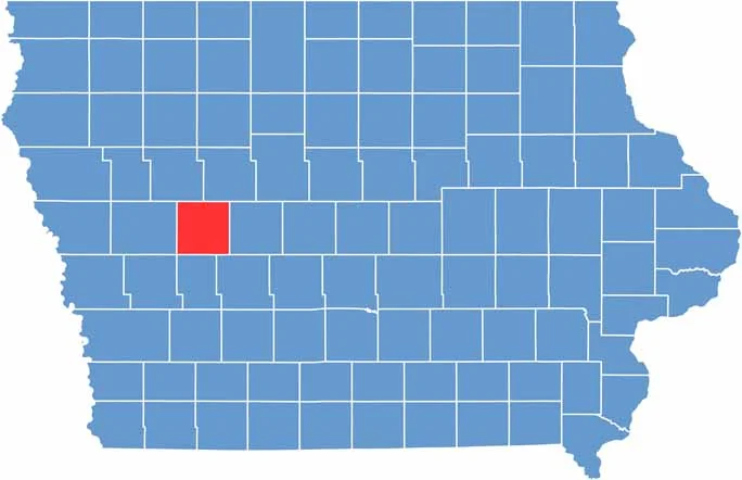

CategoryDetails
County NameCarroll County
County SeatCarroll
EtymologyNamed after Charles Carroll of Carrollton, a signer of the Declaration of Independence
Cities, Towns, and CommunitiesCarroll, Coon Rapids, Manning, Glidden, Breda, Templeton, Arcadia, Lanesboro, Lidderdale, Halbur, Willey, Dedham
Interstates and HighwaysU.S. Highway 30, U.S. Highway 71, Iowa Highway 141
FIPS Code19-027
Total Area (Land and Water)570 square miles (land: 569 sq mi, water: 1 sq mi)
Adjacent Counties (and Direction)Sac County (Northwest), Calhoun County (Northeast), Greene County (East), Guthrie County (Southeast), Audubon County (South), Crawford County (West)
Time ZoneCentral Time Zone (CST)
StateIowa
Coordinates42.04°N, 94.87°W
Major LandmarksSwan Lake State Park, Carroll County Courthouse, Manning Hausbarn-Heritage Park
Population20,700
Scroll to Top