
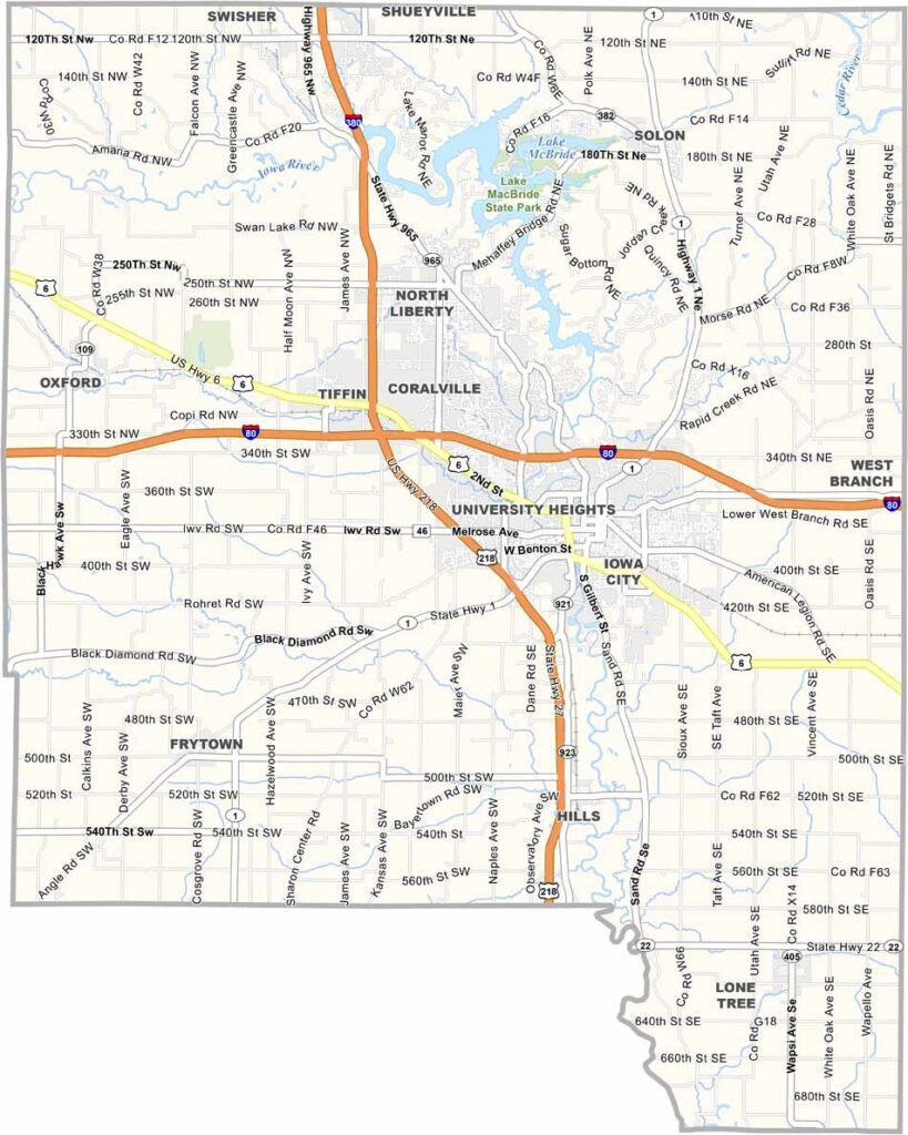
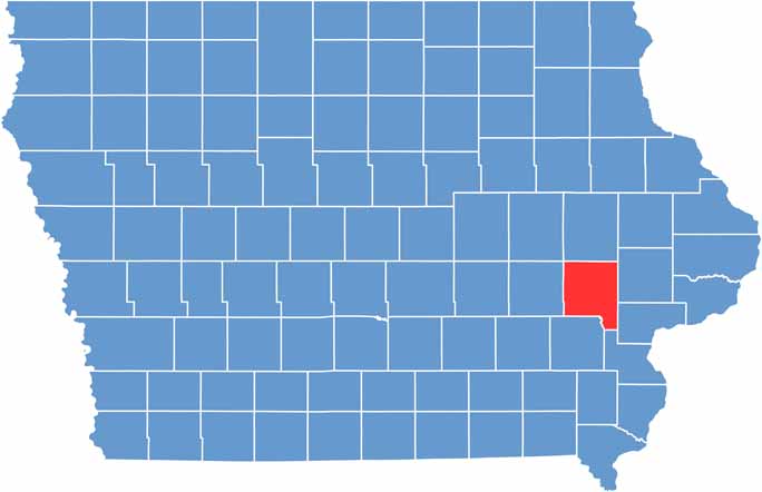
Johnson County is located in east-central Iowa, where cornfields meet college-town vibes. Iowa City, home to the University of Iowa, keeps the county’s 155,000 residents on their toes.
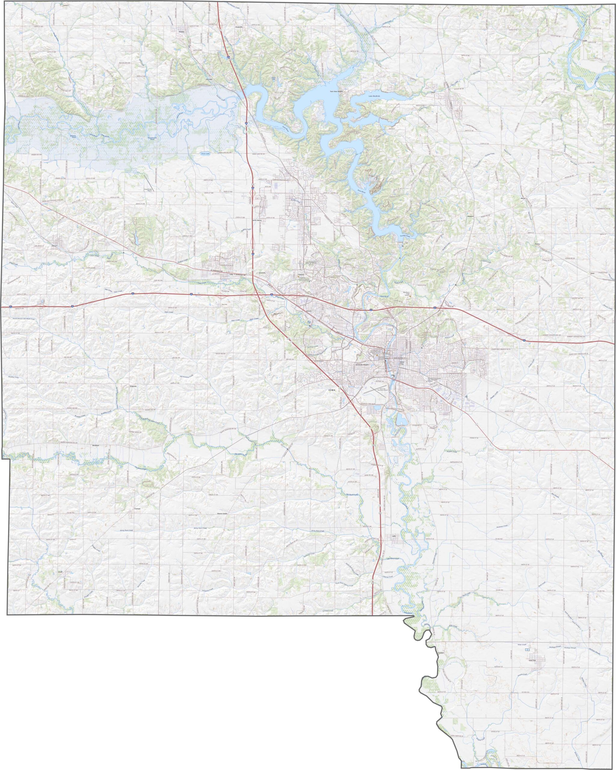
The Iowa River flows through the county, eventually forming Lake McBride and Coralville Lake. Interstate 80 and U.S. Highway 218 make the area a key location, providing easy connections to the rest of the state.
The Iowa Writers’ Workshop has produced more than its fair share of literary legends. But the county isn’t all books and boats. Venture outside the city limits, and you’ll find plenty of farms.
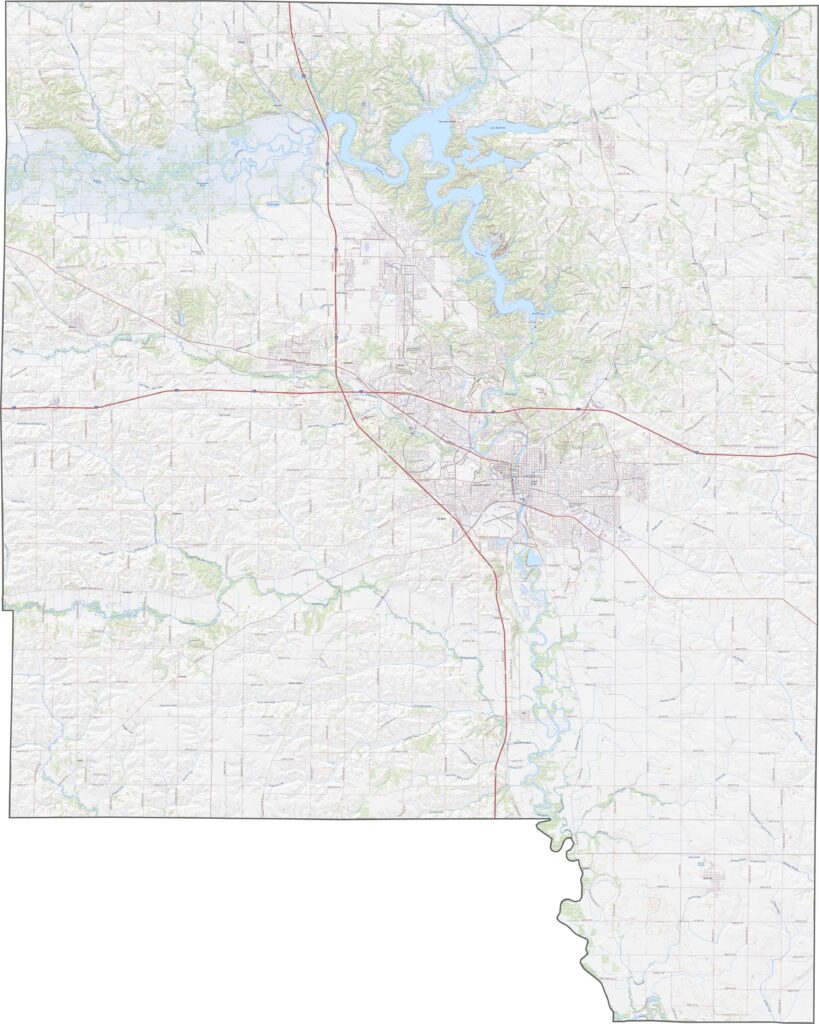
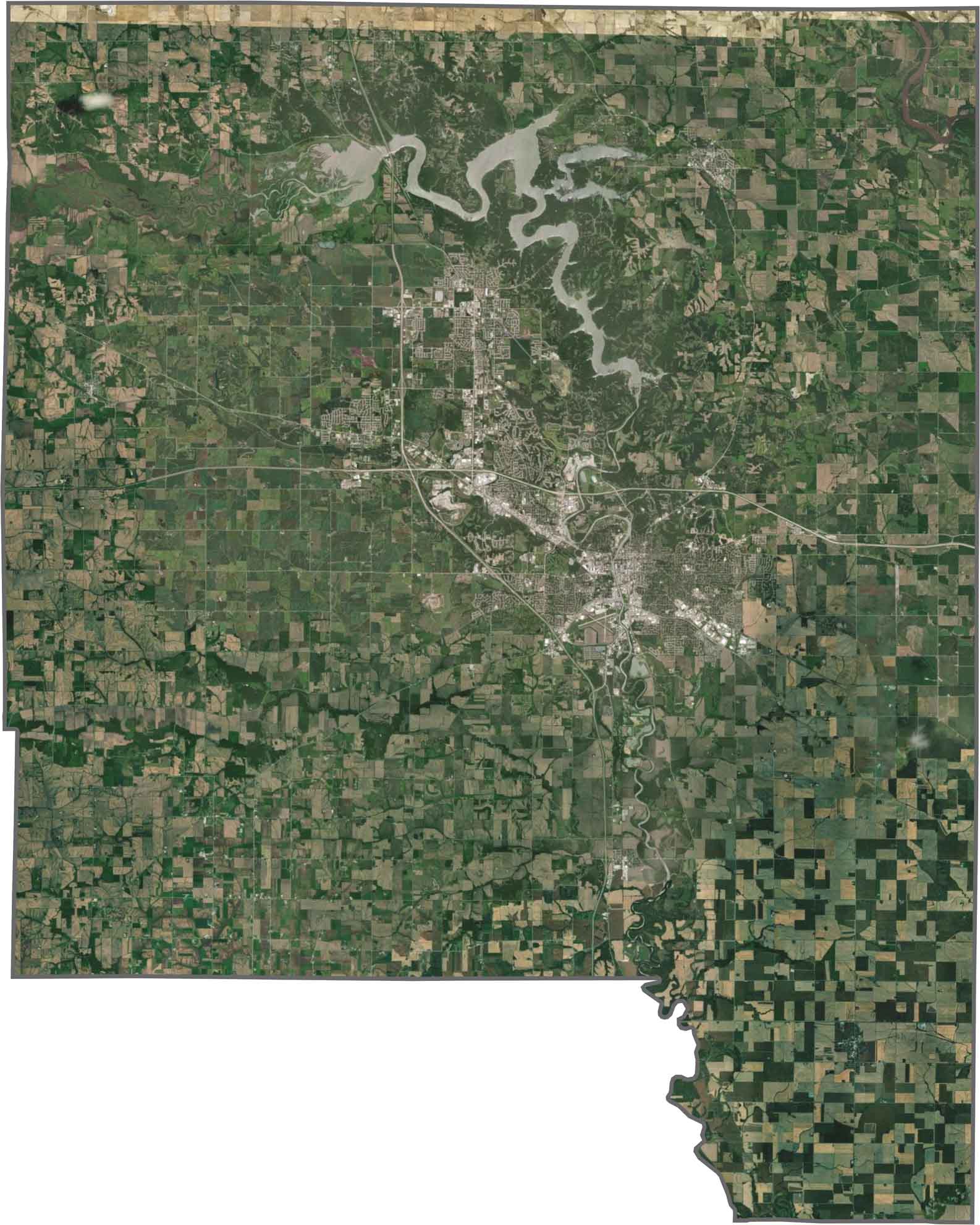
Roads twist through valleys, while the highways keep travel efficient. Interstate 80 cuts across Johnson County, and US Highway 218 runs north to south. Despite the terrain, the county is well connected. Use our zoom tool to explore more.
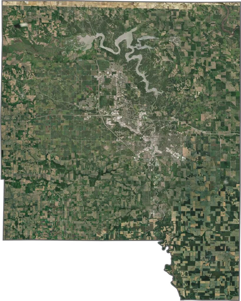
Iowa City’s urban center stands out, while the Iowa River loops through the area, surrounded by forests. Farmland fills the gaps between developed areas. Although the county is more developed near the city, the countryside still feels spacious. Use our zoom tool in the satellite map below.
Johnson County has a roughly square shape with a slightly uneven southern border. It does not touch another state but borders Washington and Cedar counties.






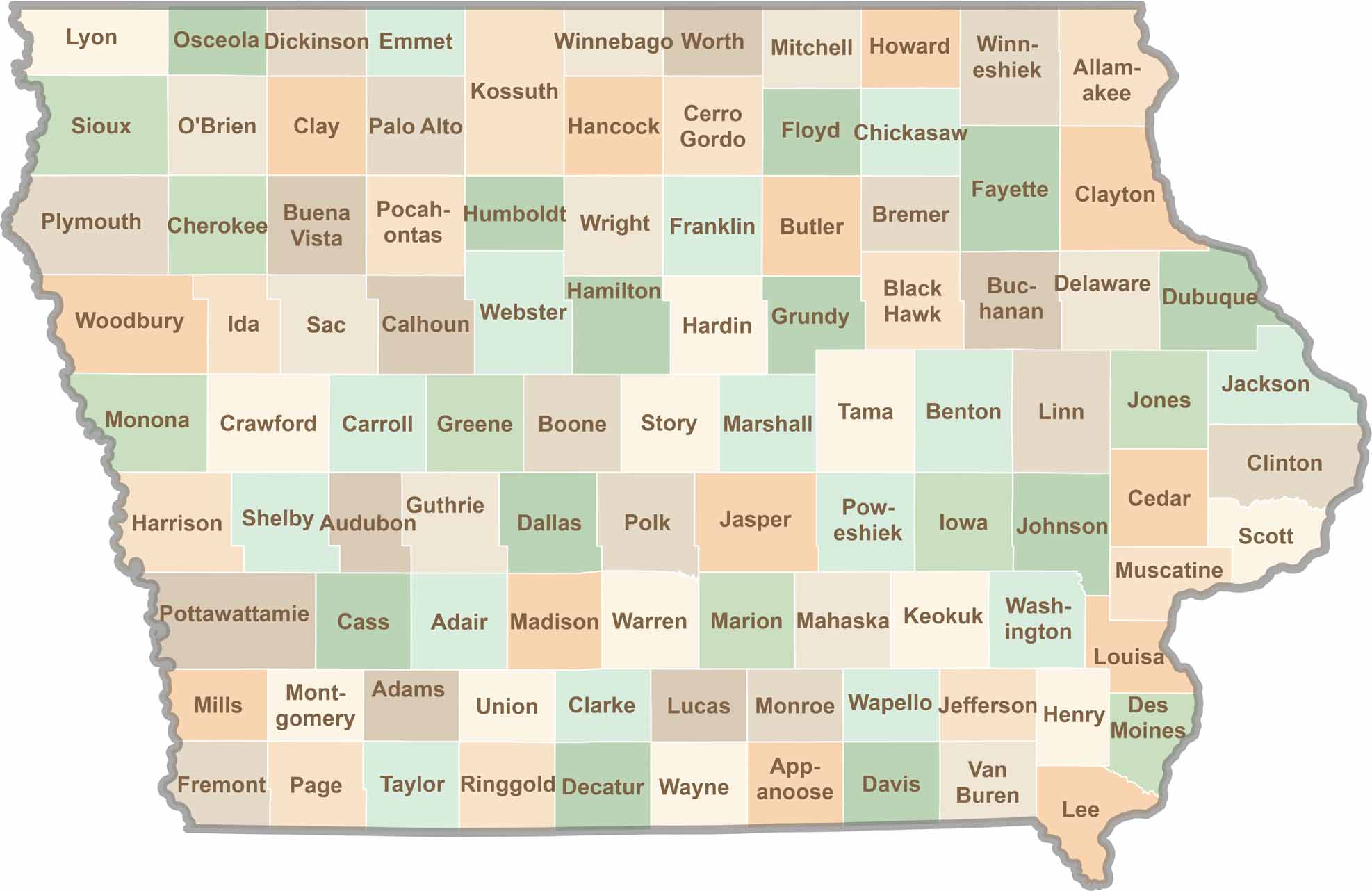
Where the sky stretches wide and scenic backroads lead to authentic small-town experiences, Iowa’s 99 counties offer plenty of charm to discover. Come explore the beauty of wide-open spaces, peaceful landscapes, and the simple grace that makes the Hawkeye State truly special.