
Polk County is Iowa’s most populous county and is home to Des Moines, the state capital. Named after President James K. Polk, it’s the beating heart of Iowa.
The gold-domed State Capitol overlooks downtown Des Moines. Nearby in Altoona, Adventureland, Iowa’s largest theme park, offers plenty of thrills for visitors.
With more than 500,000 residents, Polk County is a long way from rural Iowa. It’s a place where city life and small-town vibes somehow manage to coexist just fine. Despite all the urban amenities, you can still find cornfields within the county limits.
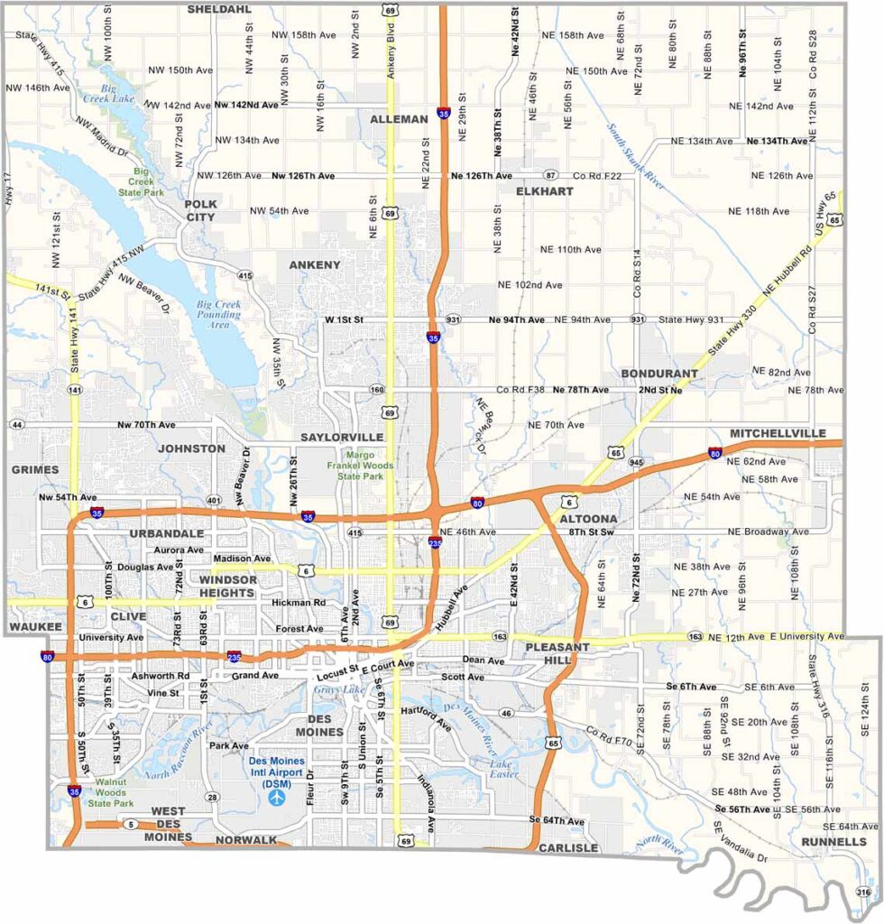
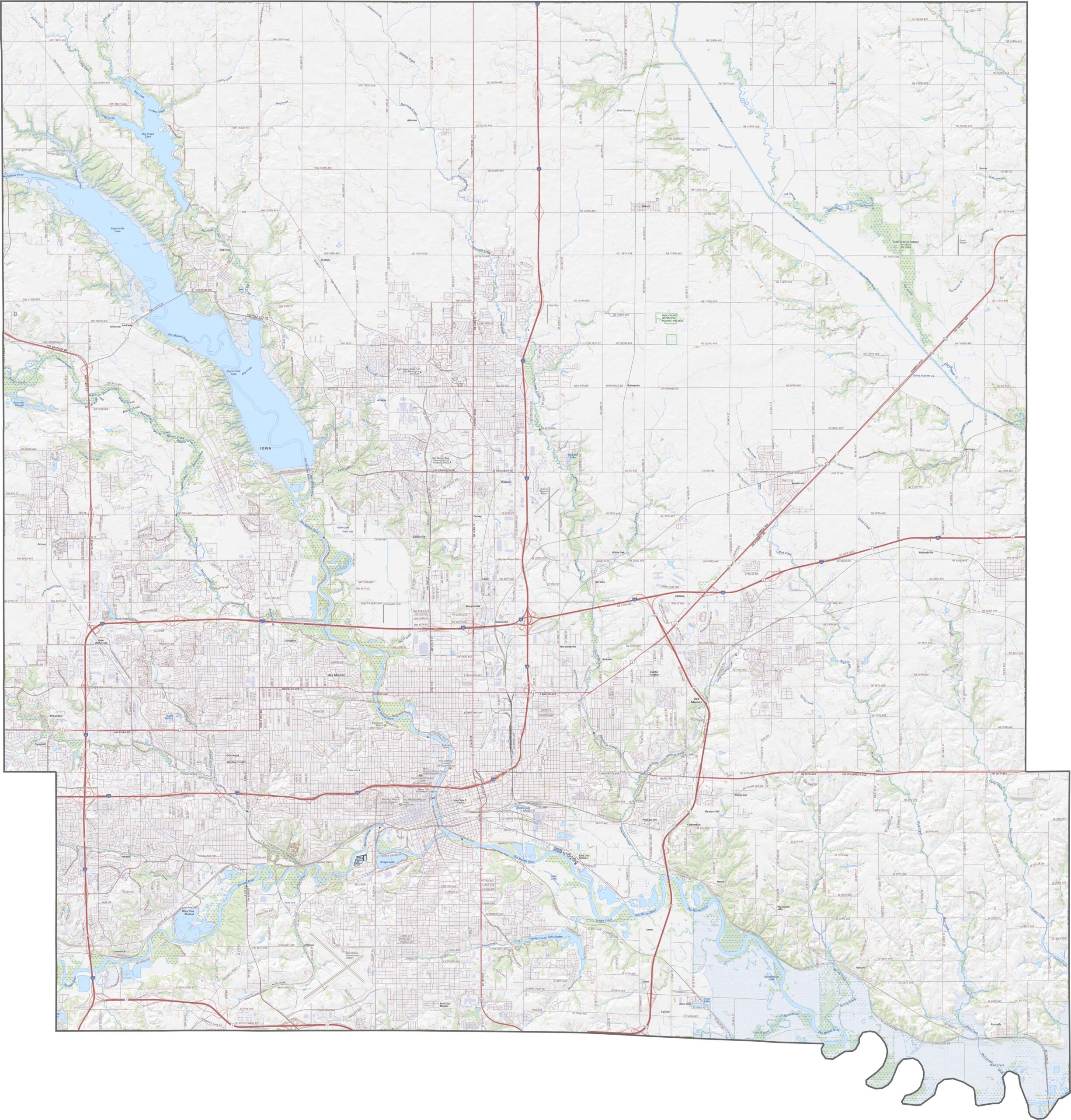
I-35 and I-80 intersect in Polk County, making Des Moines a major transportation hub. US Highway 69 and 141 provide additional routes, although traffic can get heavy near downtown. Despite the urban core, rural areas still retain open farmland. Explore more with our zoom tool on the map below.
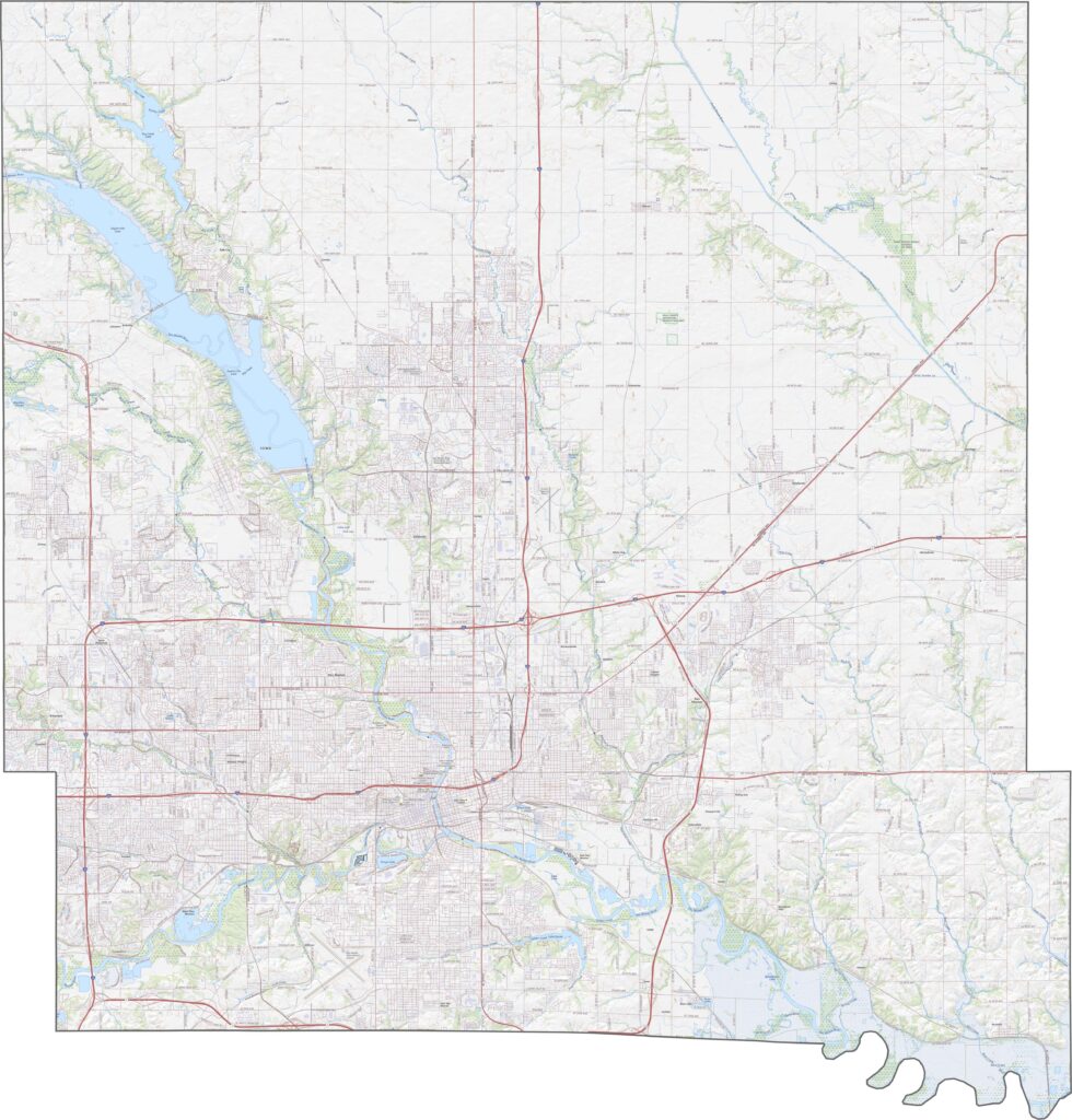
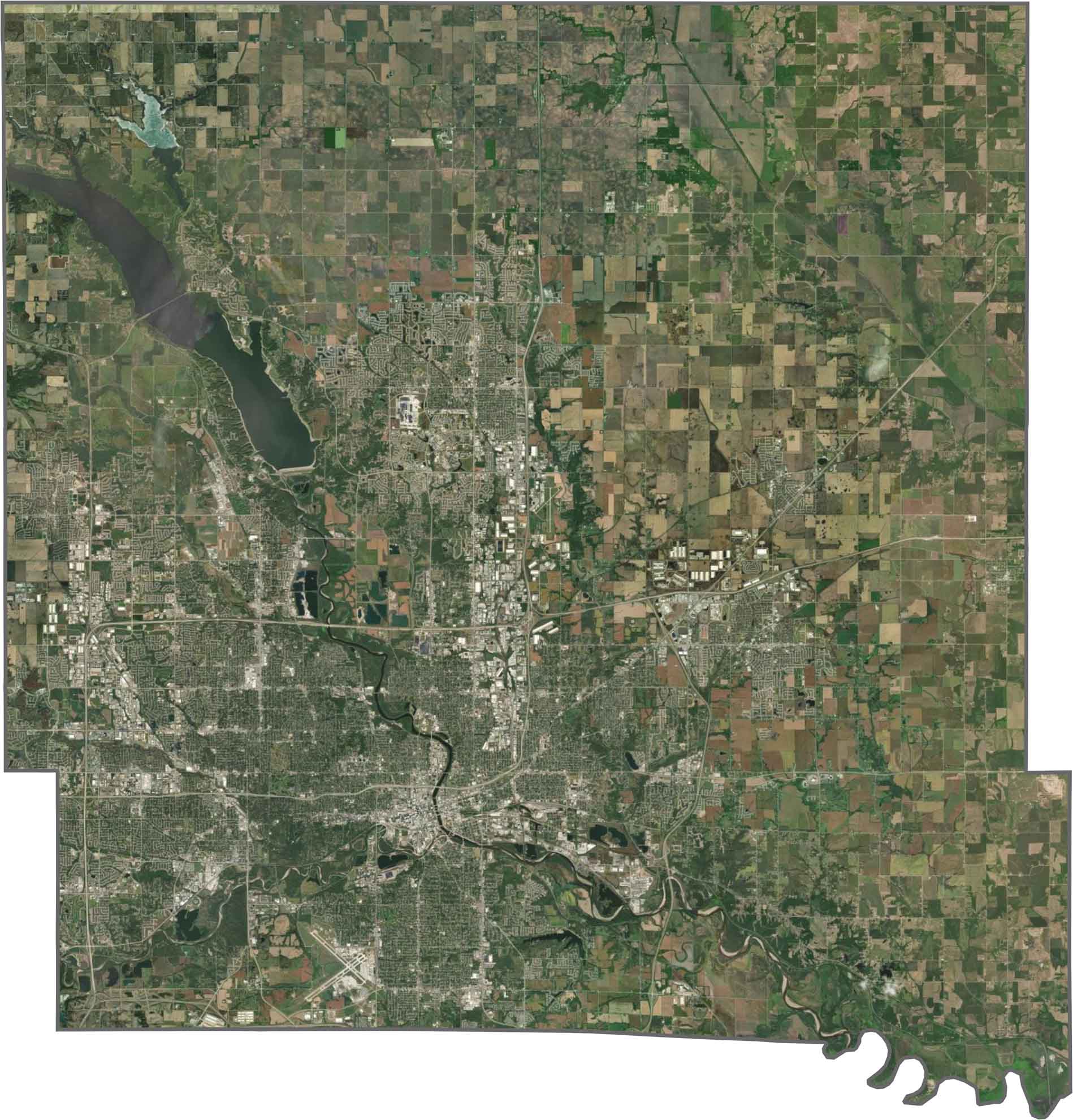
Des Moines dominates the center of Polk County, surrounded by sprawling suburbs. The Des Moines and Raccoon Rivers meet in the southwest. Farmland fills the outer edges, although development continues to expand. Despite its heavy population, parks and lakes provide breaks from the urban landscape.
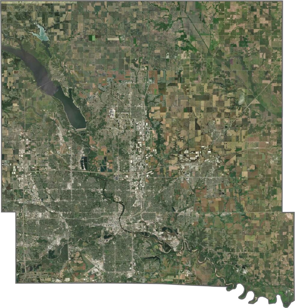
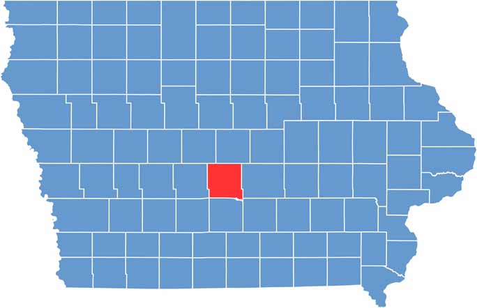
Polk County has a roughly square shape with slightly uneven edges in the southeast. It is located in the center of Iowa.







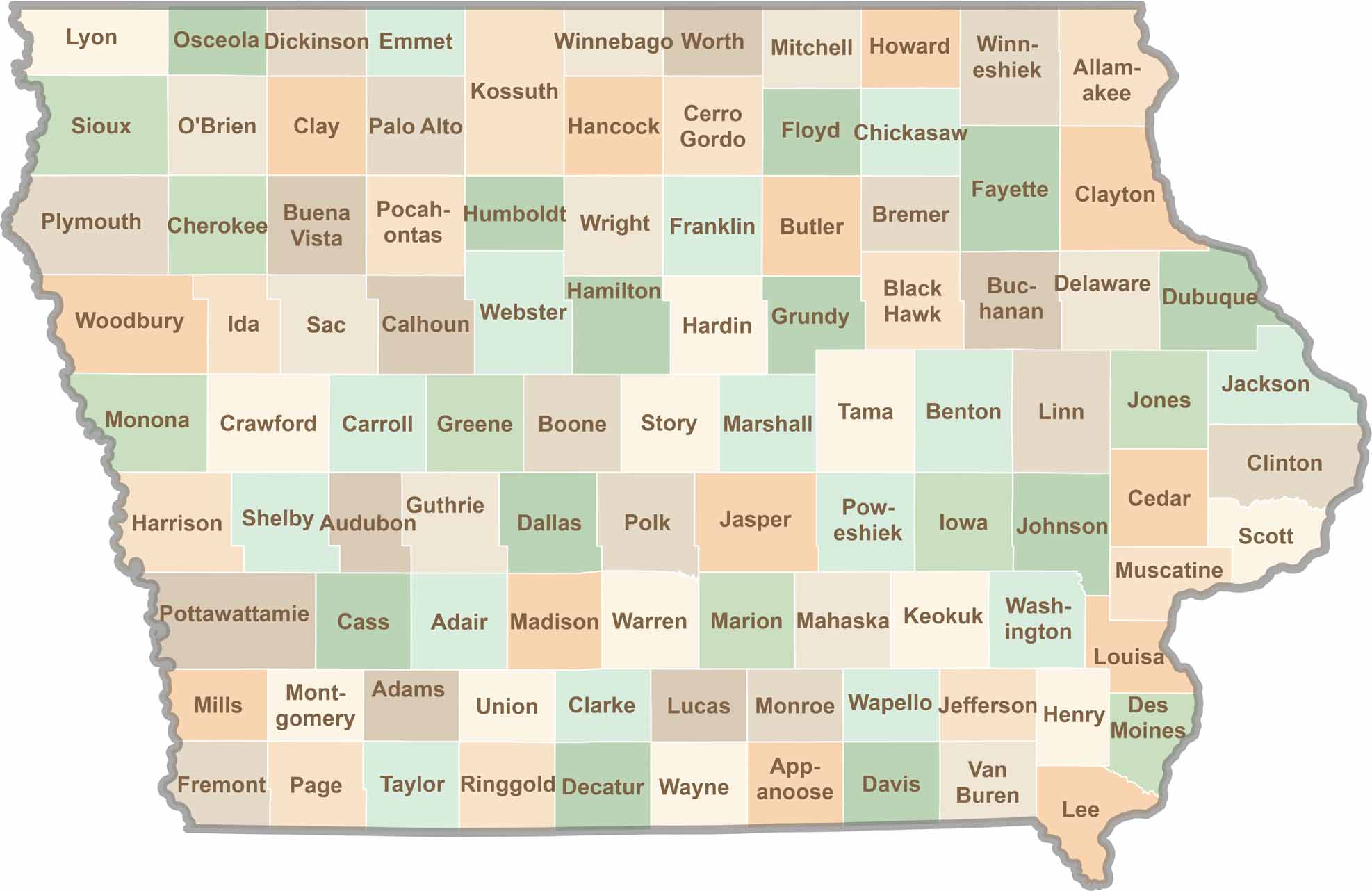
Where the sky stretches wide and scenic backroads lead to authentic small-town experiences, Iowa’s 99 counties offer plenty of charm to discover. Come explore the beauty of wide-open spaces, peaceful landscapes, and the simple grace that makes the Hawkeye State truly special.