
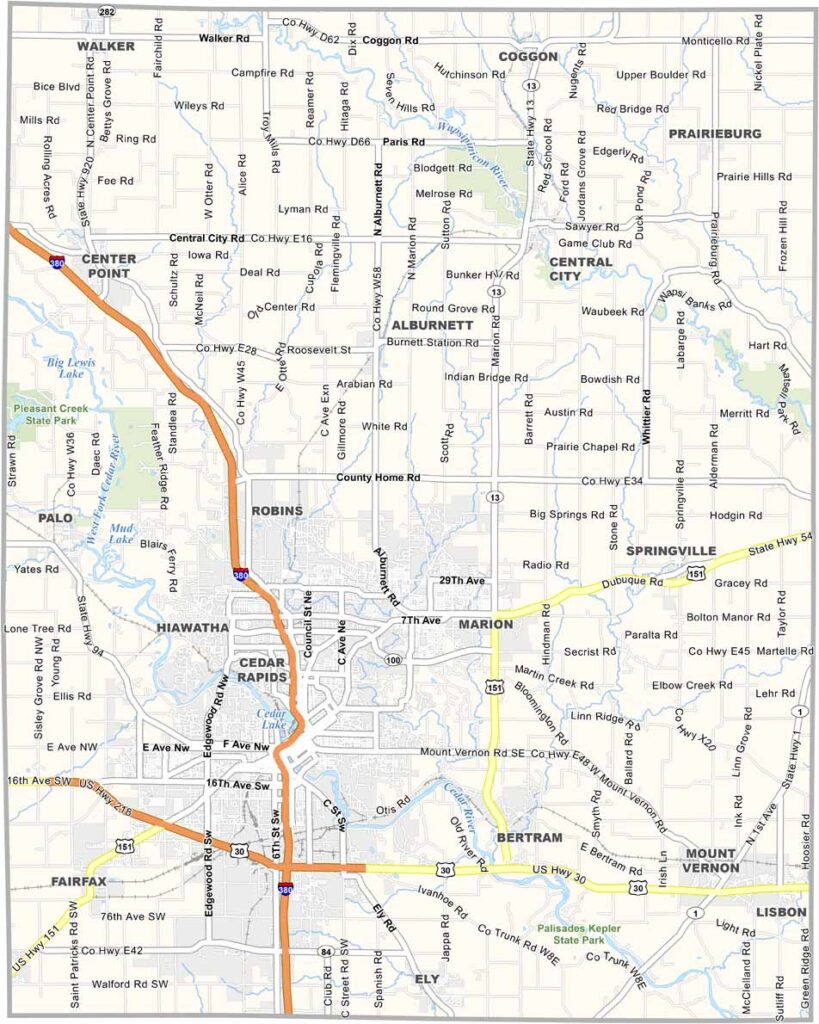
Linn County is located in east-central Iowa and is the state’s second-most populous county. With a population of more than 230,000, there’s plenty to see and do here.
Cedar Rapids, the county seat, is Iowa’s second-largest city and sits along both banks of the Cedar River. The county was named after Lewis Linn, a U.S. Senator from Missouri.
For a dose of nature, head to the Indian Creek Nature Center, where you can explore trails and learn about Iowa’s ecosystems. Pleasant Creek State Recreation Area also offers a public beach for outdoor fun.
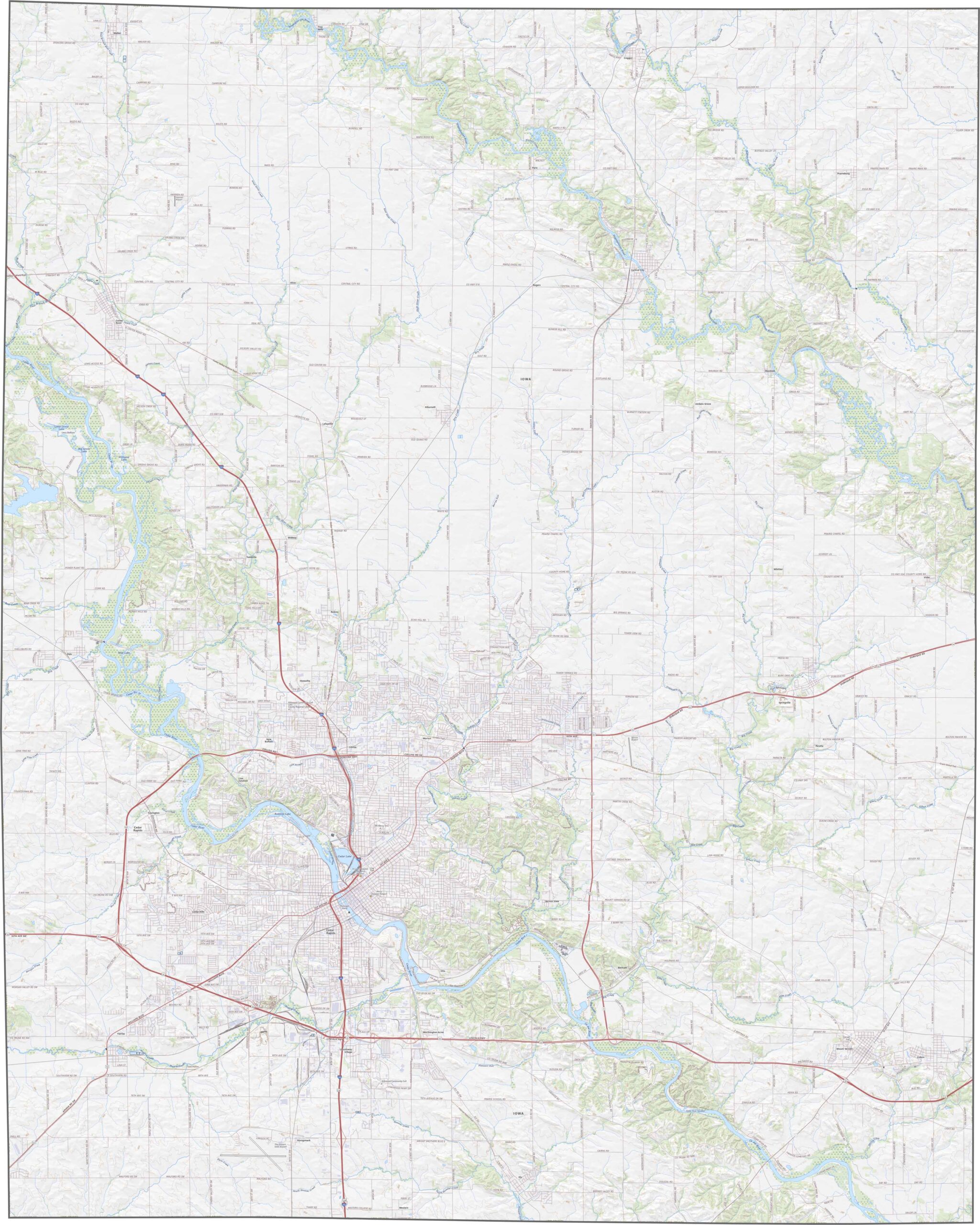
Interstate 380 and US Highway 30 cross Linn County, making Cedar Rapids a major transportation hub. Smaller highways like Highway 151 wind through the area, while traffic generally flows smoothly. Despite the urban center, the rural areas remain quiet. Check our zoom tool for more details.
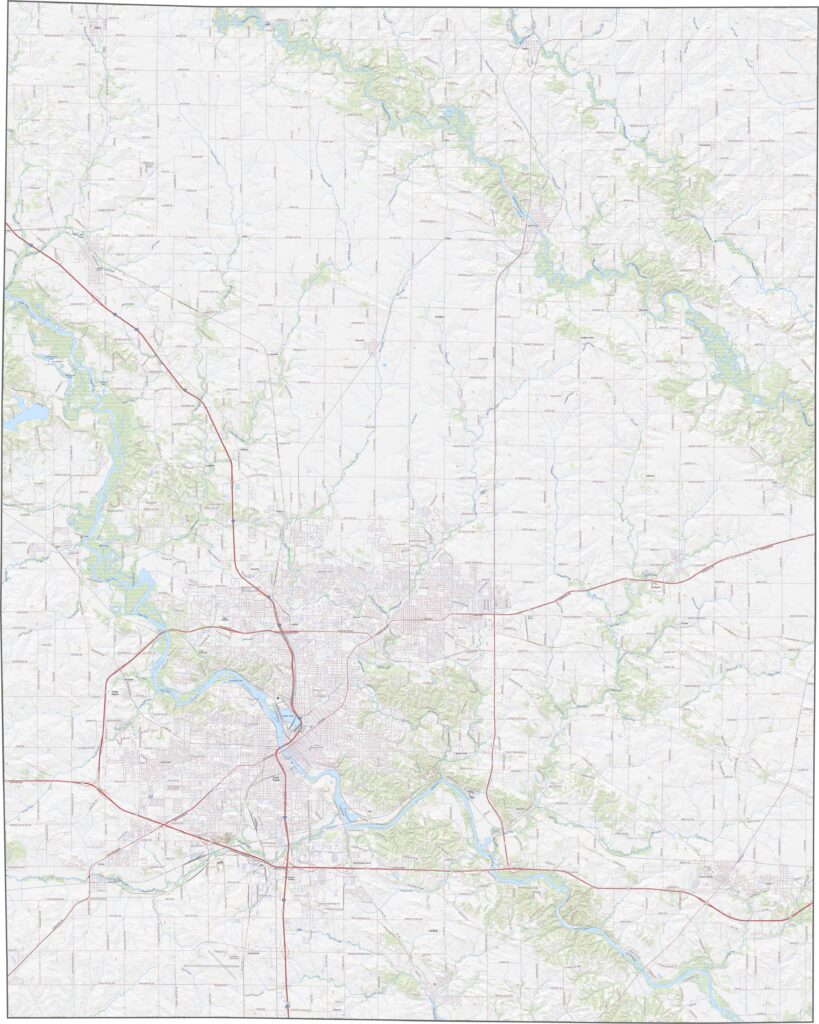
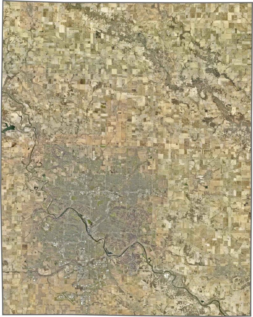
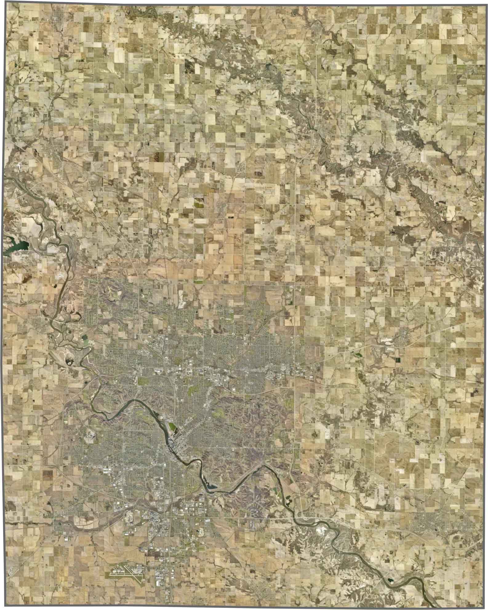
Cedar Rapids dominates the center of the county, with a grid of streets and industrial areas. The Cedar River divides the city and is lined with parks. Outside the metro area, farmland spreads across the landscape in orderly squares. Although the area near the city is built up, forests and creeks break up the scenery.
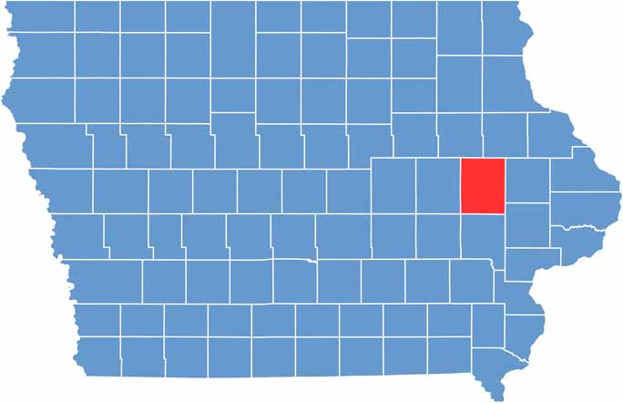
Linn County has a stretched rectangular shape running north to south. It is located in eastern Iowa and does not touch any other state.







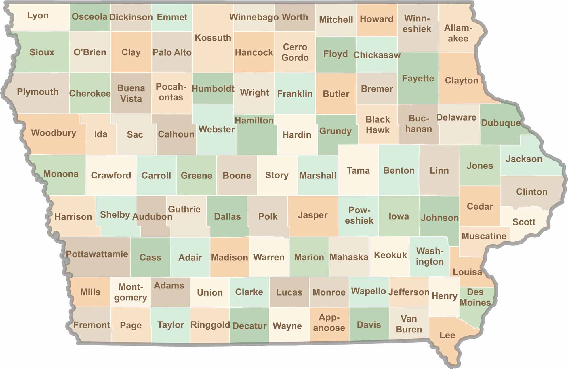
Where the sky stretches wide and scenic backroads lead to authentic small-town experiences, Iowa’s 99 counties offer plenty of charm to discover. Come explore the beauty of wide-open spaces, peaceful landscapes, and the simple grace that makes the Hawkeye State truly special.