Davis County, Iowa

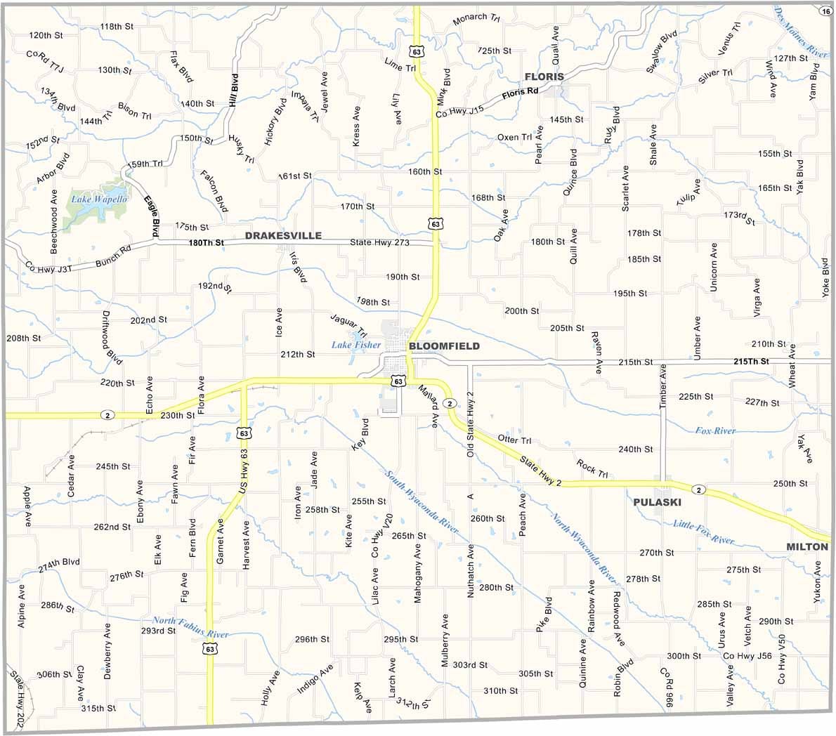
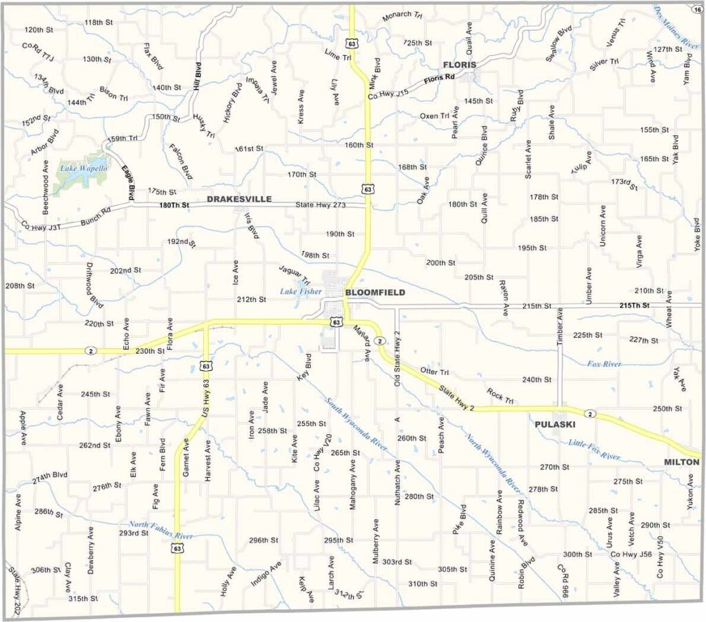
Davis County is located along Iowa’s southern border, where the landscape becomes more defined by rolling hills and rugged terrain. Bloomfield, the county seat, serves as a central community within this peaceful rural county.

The local Amish community adds a distinctive sense of traditional rural life, with horse-drawn buggies sharing the roads with pickup trucks and other vehicles.

McGowen Recreation and Wildlife Area provides opportunities for hiking, hunting, and outdoor recreation. Overall, Davis County maintains a quiet rural character, with agriculture continuing to play an important role in everyday life and the local economy.
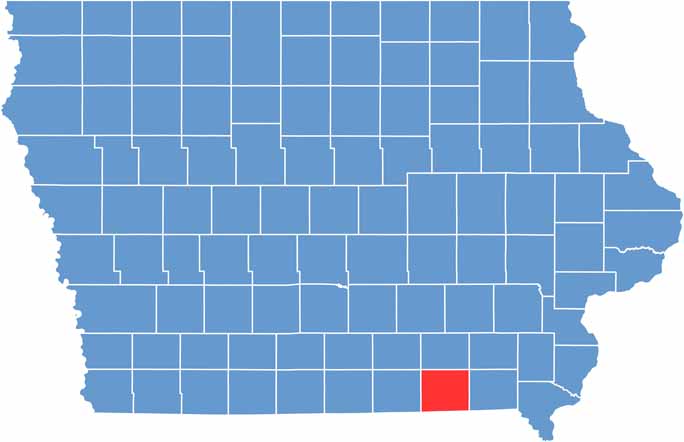

CategoryDetails
County NameDavis County
County SeatBloomfield
EtymologyNamed after Garrett Davis, Kentucky Congressman
Cities, Towns, and CommunitiesBloomfield, Pulaski, Drakesville, Troy, Cantril, Floris, Iconium, South Davis County
Interstates and HighwaysU.S. Highway 63, U.S. Highway 2, Iowa Highway 16
FIPS Code19-051
Total Area (Land and Water)543 square miles (land: 541 sq mi, water: 2 sq mi)
Adjacent Counties (and Direction)Wapello County (North), Monroe County (Northwest), Van Buren County (East), Jefferson County (Northeast), Scotland County, Missouri (Southeast), Schuyler County, Missouri (Southwest), Appanoose County (West)
Time ZoneCentral Time Zone (CST)
StateIowa
Coordinates40.74°N, 92.48°W
Major LandmarksDavis County Historical Society Museum, Lake Wapello State Park, Bloomfield’s Courthouse Square
Population8,900
Scroll to Top