Mills County, Iowa

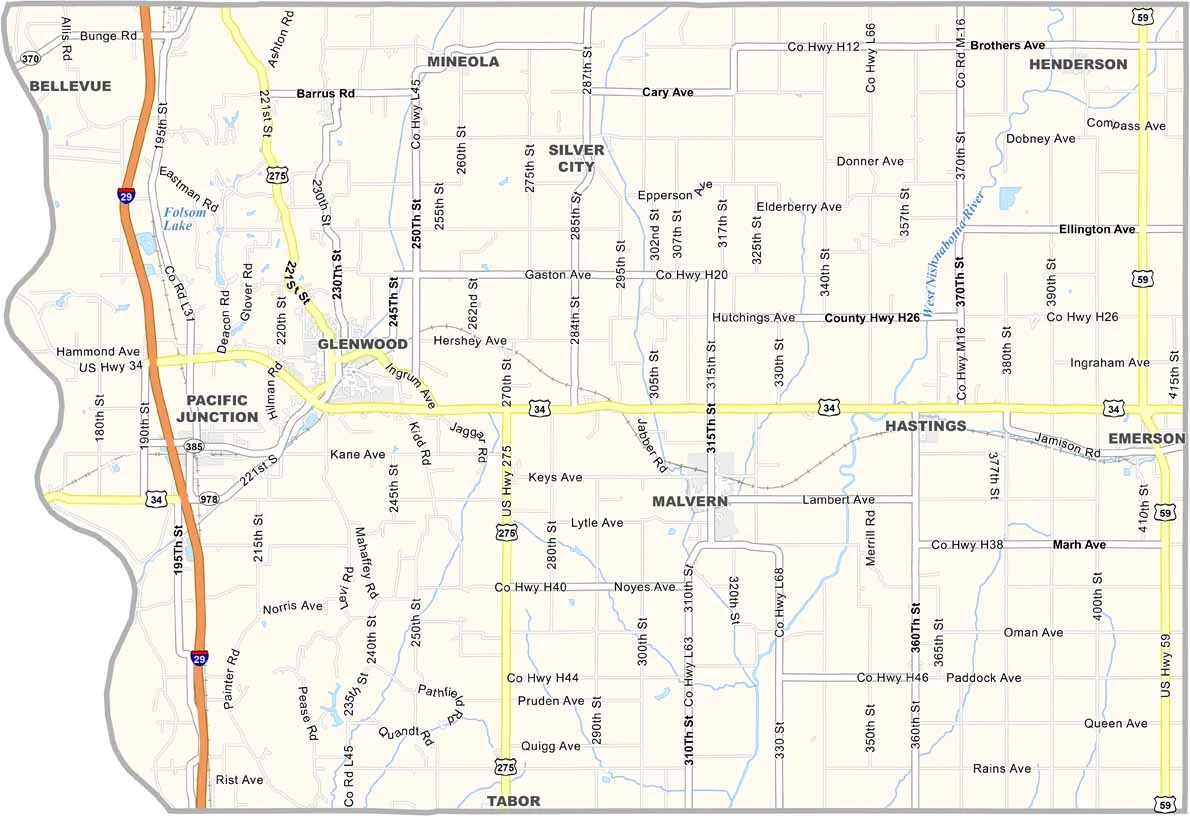
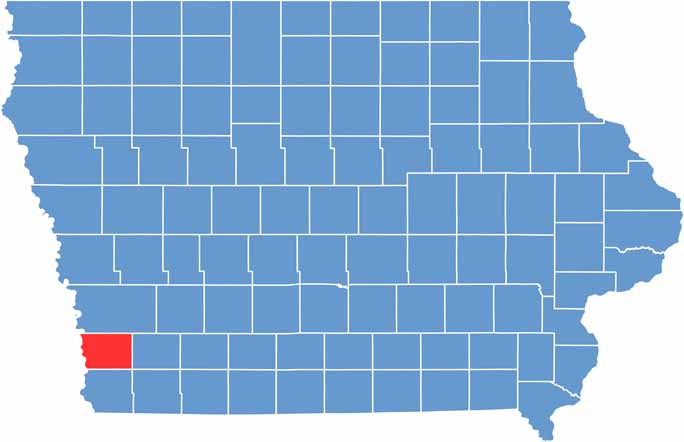
Mills County stretches along Iowa’s western border, with the Missouri River separating it from Nebraska. The Loess Hills and Missouri River come together here to create a unique landscape.

Glenwood is the county seat and a small town with a population of around 5,000 people. Mills County is also home to Pony Creek Park, a popular destination for camping, hiking, and birdwatching.

For a glimpse into the past, the Glenwood Archaeological State Preserve showcases the lives of Native American cultures that lived in the area more than 1,000 years ago.

CategoryDetails
County NameMills County
County SeatGlenwood
EtymologyNamed after Frederick Mills
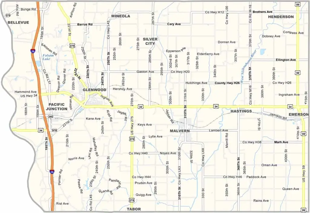
Cities, Towns, and CommunitiesGlenwood, Malvern, Hastings, and several unincorporated communities
Interstates and HighwaysU.S. Highway 34, U.S. Highway 275, Iowa Highway 1
FIPS Code19-129
Total Area (Land and Water)743 square miles (land: 737 sq mi, water: 6 sq mi)
Adjacent Counties (and Direction)Pottawattamie County (North), Montgomery County (East), Fremont County (South), Cass County, Nebraska (Southwest), Sarpy County, Nebraska (West)
Time ZoneCentral Time Zone (CST)
Population17,500
StateIowa
Coordinates41.04°N, 95.71°W
Major LandmarksGlenwood Archaeological Site, Waubonsie State Park, and the Mills County Museum
Scroll to Top