
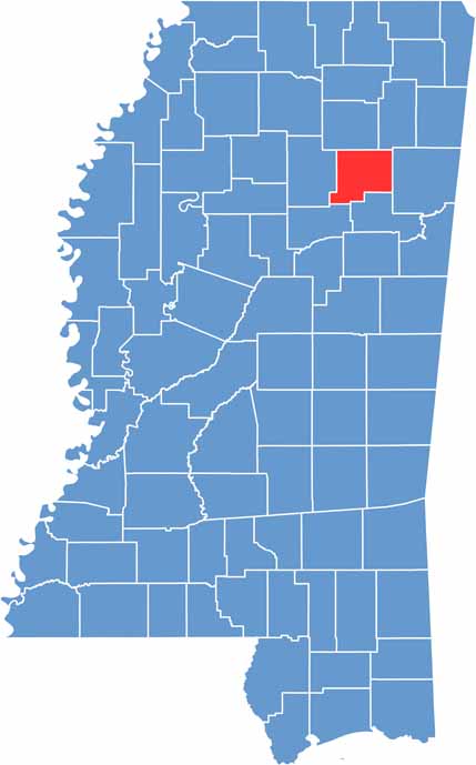
If you're cruising through northeast Mississippi, you might stumble upon Chickasaw County. It's not the kind of place that makes headlines, but that's part of its charm. Named after the Chickasaw Native Americans, this county has deep roots.
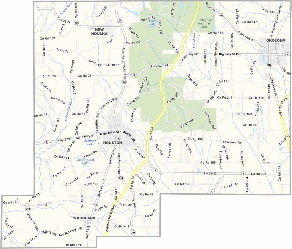
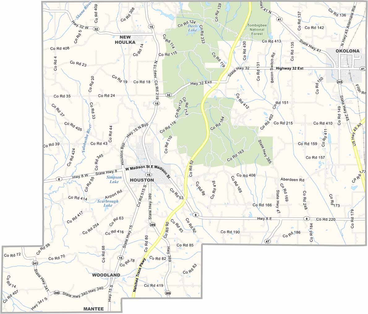
The Natchez Trace Parkway cuts through the western part of the county, while the Tombigbee National Forest occupies a large chunk of the north.
Houston and Okolona share the title of county seat, which is pretty unique. You won't find any big cities here, just small towns with big hearts.

Mississippi Counties
Rankin County Map Download Mississippi – Outline Map and Blank Map

Mississippi Counties
Madison County Map Download Mississippi – Outline Map and Blank Map

Mississippi Counties
Jackson County Map Download Mississippi – Outline Map and Blank Map

Mississippi Counties
Hinds County Map Download Mississippi – Outline Map and Blank Map

Mississippi Counties
Harrison County Map Download Mississippi – Outline Map and Blank Map

Mississippi Counties