
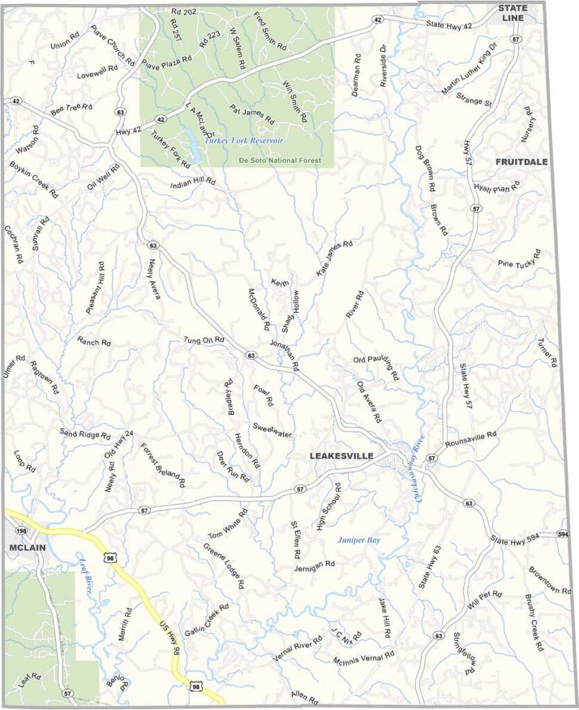
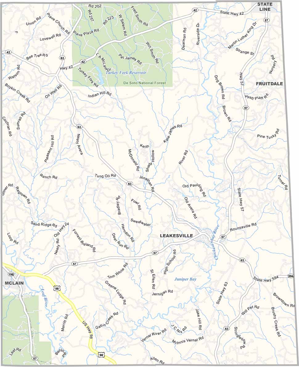
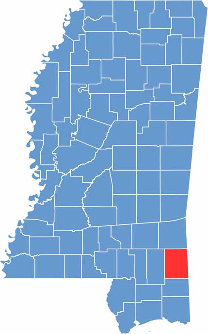
Greene County is located in southeastern Mississippi along the Alabama border. It’s a rural area with plenty of pine forests and winding country roads. Leakesville serves as the county seat and is a small town with a population of about 900 people.
The landscape features a mix of farmland and wilderness, making it well suited for hunting and fishing. The Chickasawhay River runs through the county. Summers are hot and humid, while winters are generally mild.
Despite its small size, Greene County has a long history dating back to the early 19th century. The local economy depends heavily on agriculture and timber.

Mississippi Counties
Rankin County Map Download Mississippi – Outline Map and Blank Map

Mississippi Counties
Madison County Map Download Mississippi – Outline Map and Blank Map

Mississippi Counties
Jackson County Map Download Mississippi – Outline Map and Blank Map

Mississippi Counties
Hinds County Map Download Mississippi – Outline Map and Blank Map

Mississippi Counties
Harrison County Map Download Mississippi – Outline Map and Blank Map

Mississippi Counties