
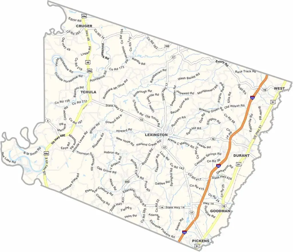
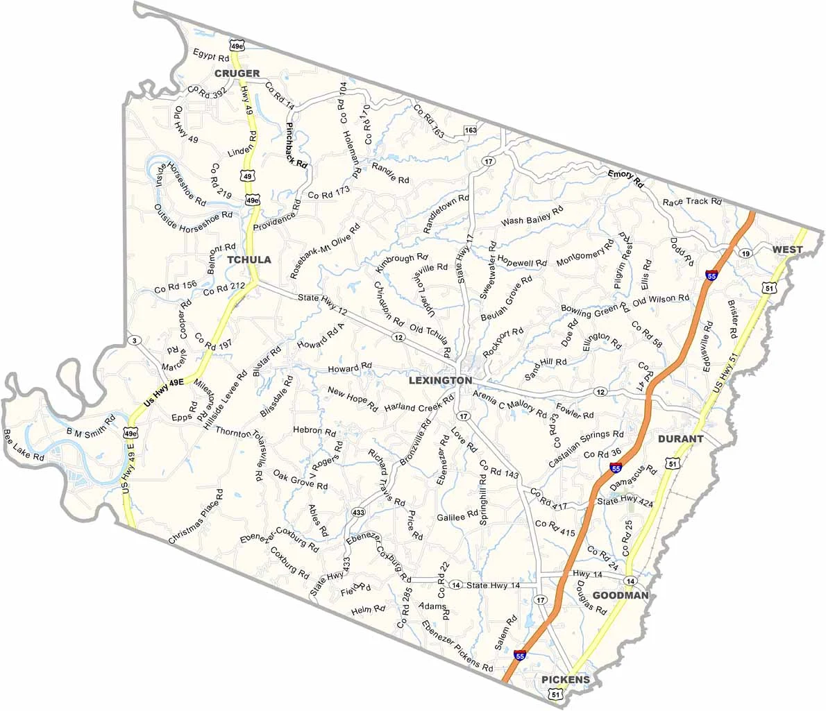
Holmes County is located deep in the heart of the Mississippi Delta, where traditional ways of life remain important. Blues music can still be heard throughout the area, reflecting the county’s rich cultural heritage.
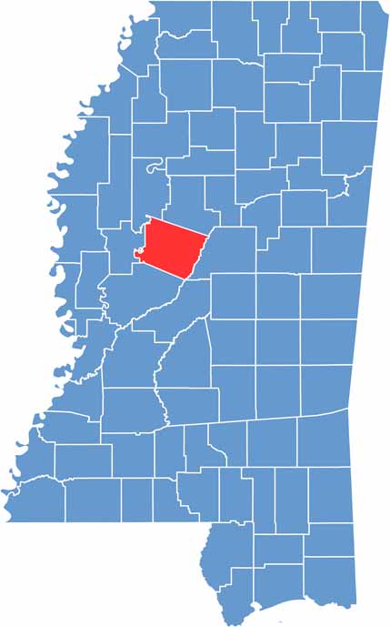
The county sits near the center of the state and is surrounded by fields of cotton. Life here moves at a slower pace, while the Yazoo River winds through the area, offering peaceful scenery and forming the western boundary.
Residents take pride in their history, both its successes and its struggles. On summer evenings, the smell of barbecue may drift through the air as laughter carries on the breeze. That’s part of what makes Holmes County what it is.

Mississippi Counties
Rankin County Map Download Mississippi – Outline Map and Blank Map

Mississippi Counties
Madison County Map Download Mississippi – Outline Map and Blank Map

Mississippi Counties
Jackson County Map Download Mississippi – Outline Map and Blank Map

Mississippi Counties
Hinds County Map Download Mississippi – Outline Map and Blank Map

Mississippi Counties
Harrison County Map Download Mississippi – Outline Map and Blank Map

Mississippi Counties