
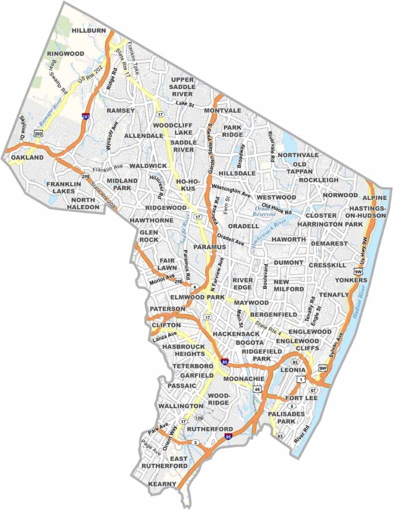
Bergen County is located in northeastern New Jersey, just across the Hudson River from New York City. It’s the most populous county in the state, and it’s easy to see why. The area offers a mix of busy downtowns, peaceful suburbs, and plenty of natural spaces.
Bergen has a long history that reaches back before the American Revolution. You can still find traces of that past at places like Historic New Bridge Landing. The county also has plenty of great dining options, from upscale restaurants to classic local delis, so you certainly won’t go hungry.
Shopping is another major attraction, with large destinations such as Westfield Garden State Plaza. But Bergen County isn’t all urban development. The Palisades offer scenic hiking trails and impressive river views. It’s a place where city life and nature come together, with something different around nearly every corner.
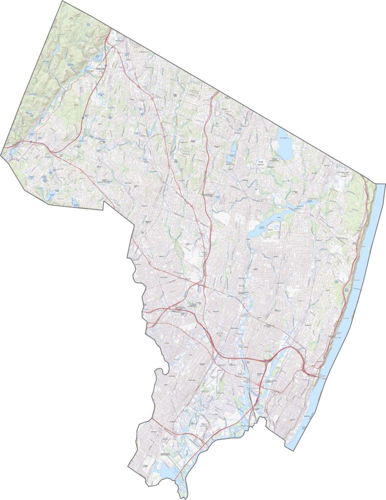
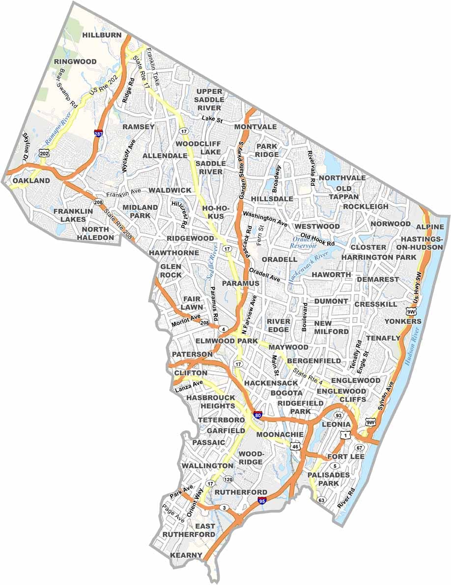
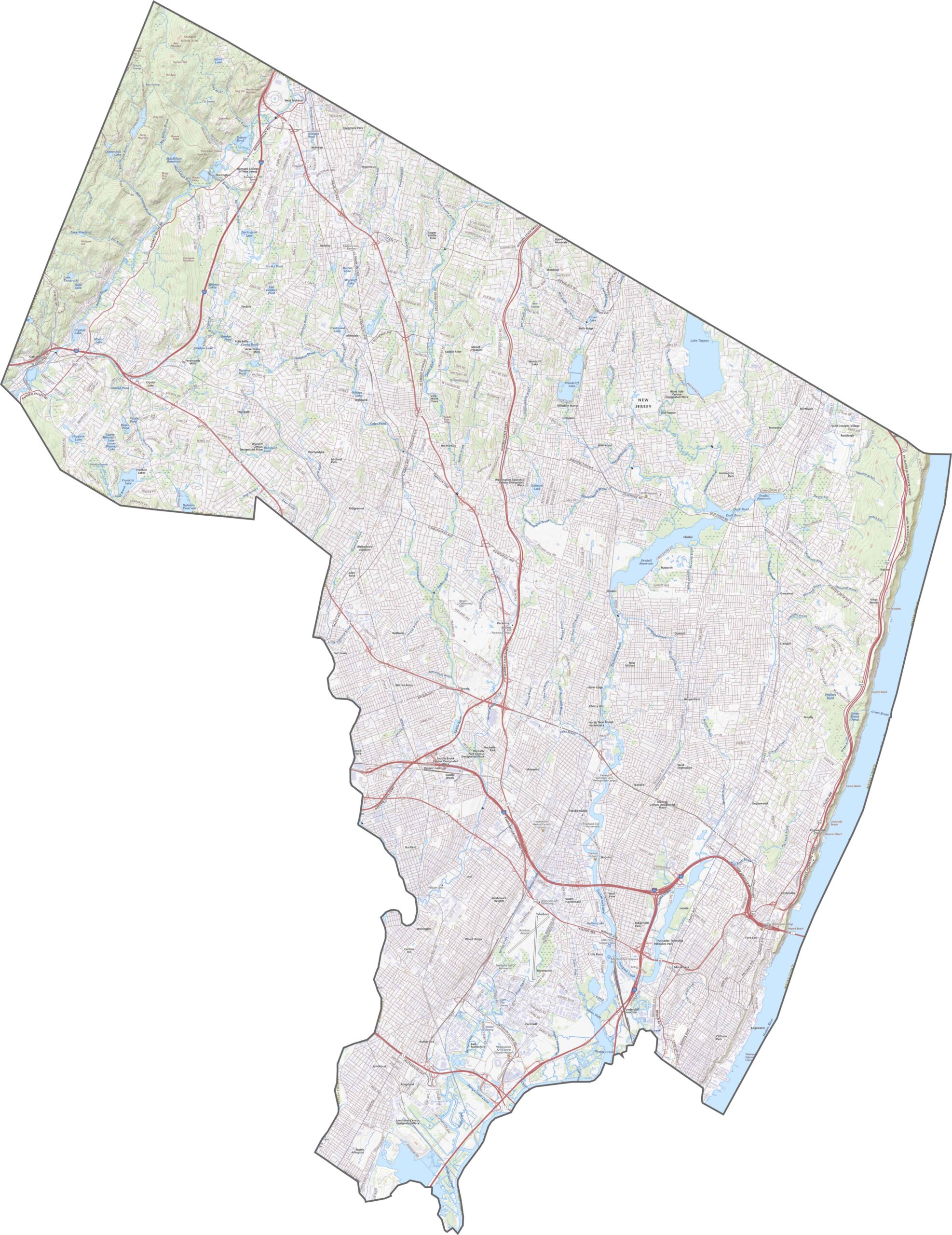
Bergen County has an extensive highway network compared with most counties in New Jersey. I-80 runs east to west through the middle, while I-95 is a major route coming down from the George Washington Bridge. Route 4 is also heavily traveled, even though it isn’t an interstate. Use our map zoom tool below to explore all of these routes.
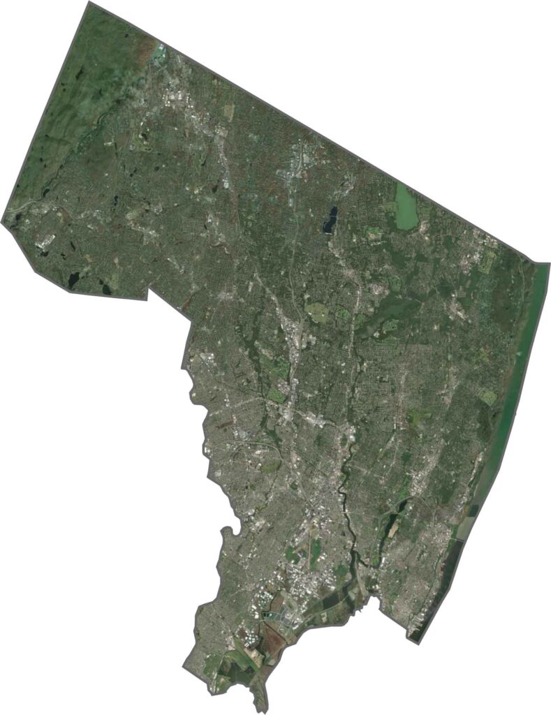
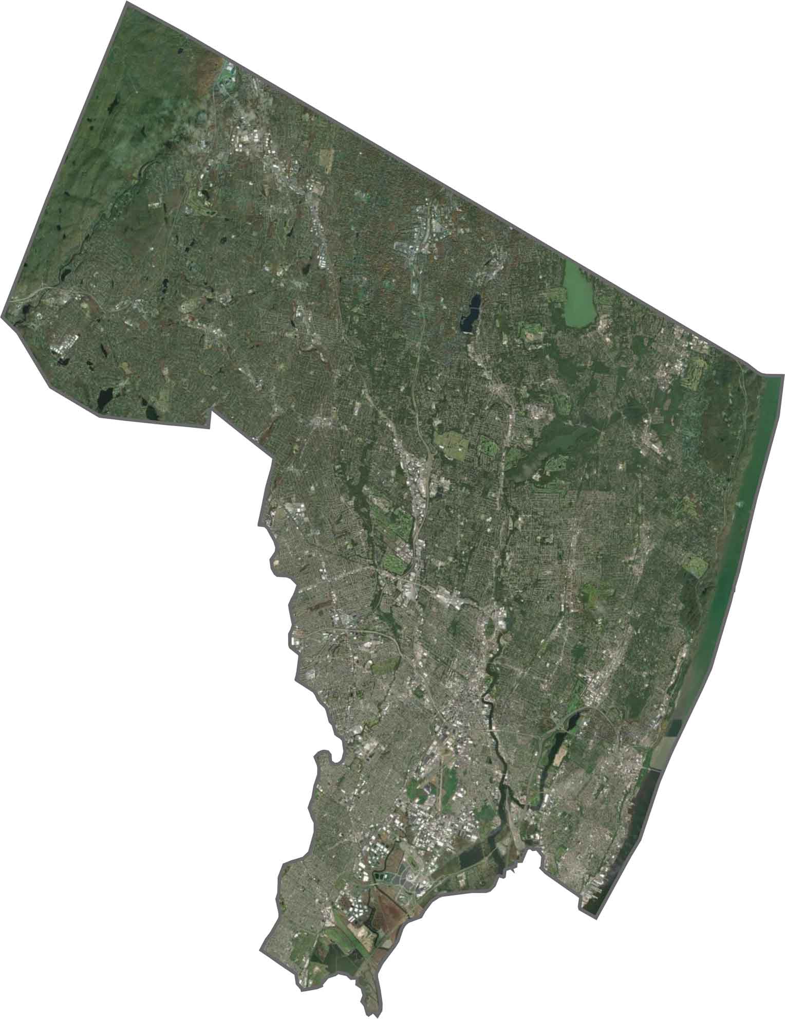
Bergen County looks heavily developed from above, with dense neighborhoods and roads covering much of the area. Even so, green spaces and parks still stand out across the landscape. The Hudson River forms the county’s eastern border, while roads tightly weave through the developed areas.
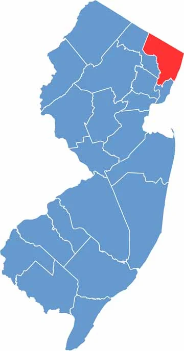
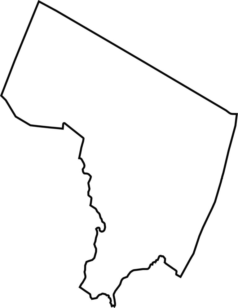
Bergen County sits along the northeastern edge of New Jersey. Its boundaries are fairly compact, although some sections have winding edges. The Hudson River forms the eastern border, separating Bergen County from New York State.







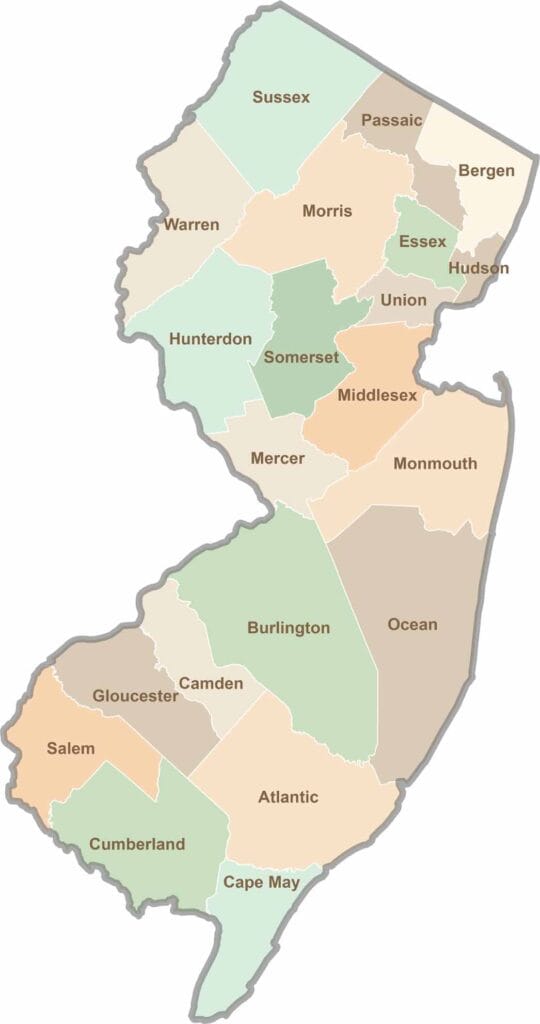
New Jersey packs a lot into its 21 counties, from beach towns and Pine Barrens forests to rolling farmland. Trace colonial history in Hunterdon County or stroll the boardwalk in Ocean County. There's far more here than meets the Turnpike.