
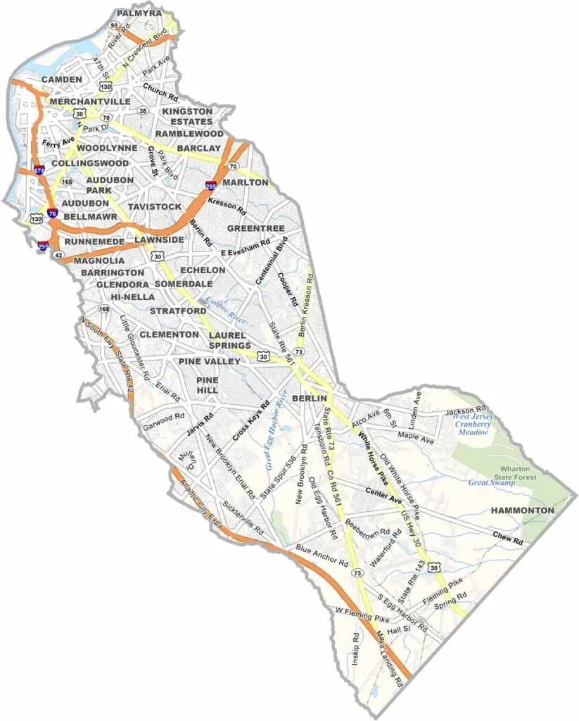
Camden County sits just across the Delaware River from Philadelphia. It’s a place with plenty of history and plenty of character. The county’s namesake city, Camden, has faced its share of challenges but continues working toward a comeback.
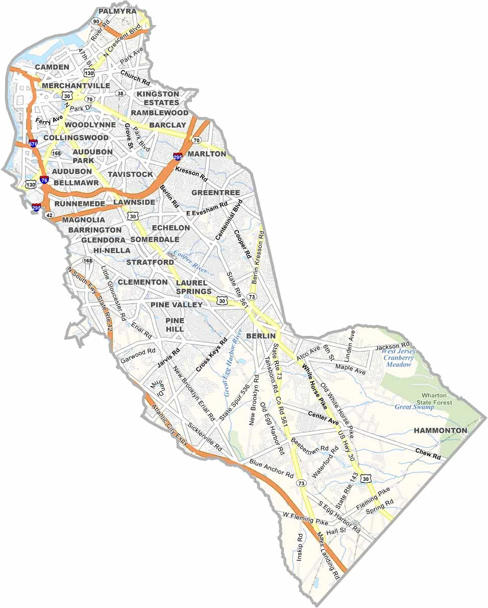
Cherry Hill is a major shopping destination, while Collingswood has grown into a popular hotspot. History buffs will enjoy exploring Haddonfield, with its charming downtown and colonial-era buildings.
The county also has some great outdoor spaces. Cooper River Park is a favorite for jogging, picnics, and enjoying the outdoors. Camden County is home to Rutgers University-Camden as well, bringing a lively student population to the area. From urban grit to suburban charm, the county continues looking toward the future.
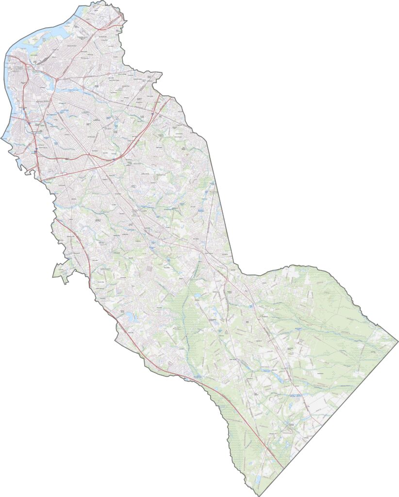
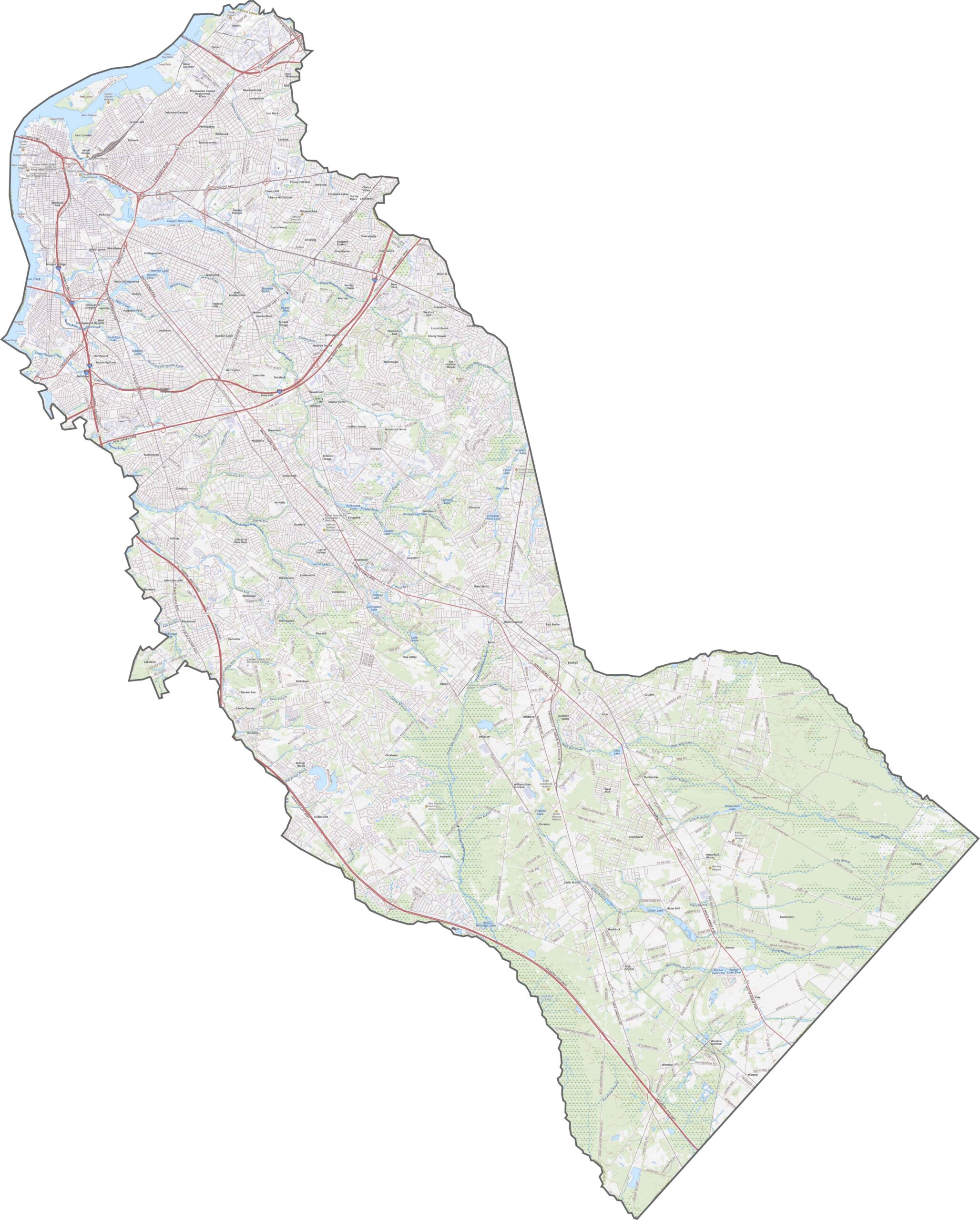
Camden County has a tightly connected road network. I-676 runs into the city from the north, while I-76 provides a direct connection to Philadelphia. I-295 curves around the eastern suburbs, linking several communities along the way. Use our road map below to zoom in and explore these routes more closely.
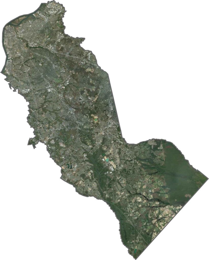
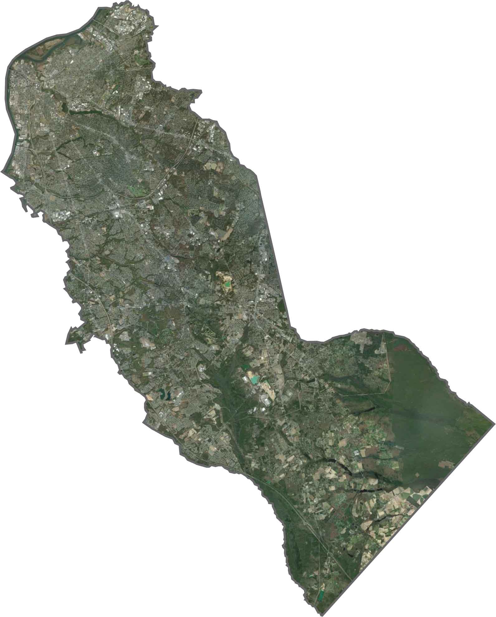
The urban area stands out near the Delaware River in the satellite view. Camden City appears dense and gray, with roads and bridges covering much of the landscape. Farther southeast, more green spaces come into view, including trees, parks, and some farmland. Despite its development, the county still has plenty of wooded areas.
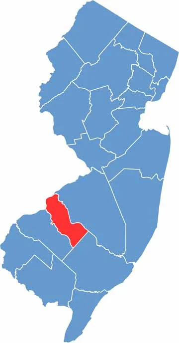
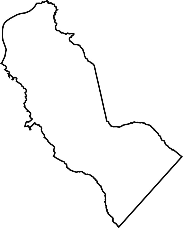
Camden County has a compact but uneven shape that leans slightly diagonally. Its northern border meets Pennsylvania across the Delaware River. The rest of the boundary is irregular, but the county remains closely connected to the urban areas of New Jersey.







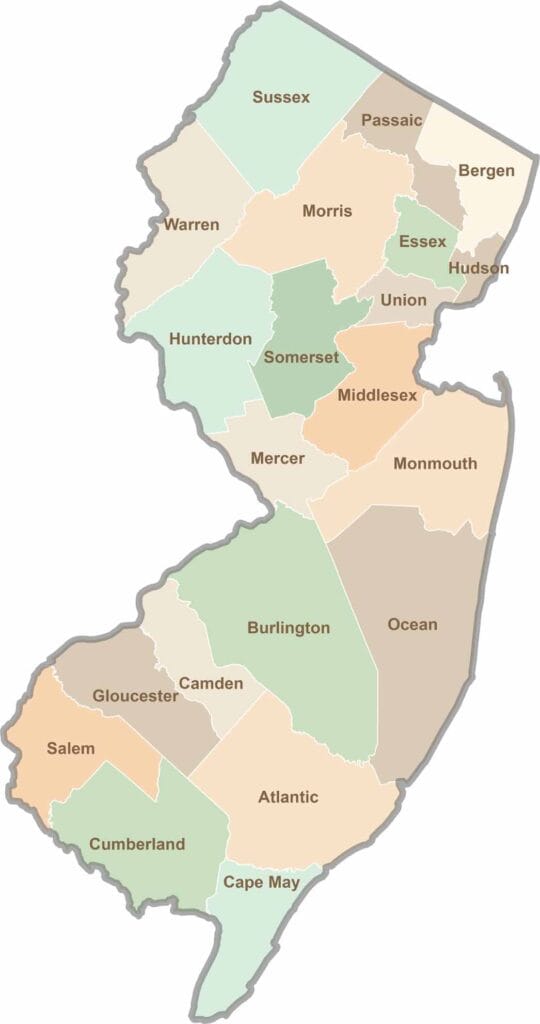
New Jersey packs a lot into its 21 counties, from beach towns and Pine Barrens forests to rolling farmland. Trace colonial history in Hunterdon County or stroll the boardwalk in Ocean County. There's far more here than meets the Turnpike.