
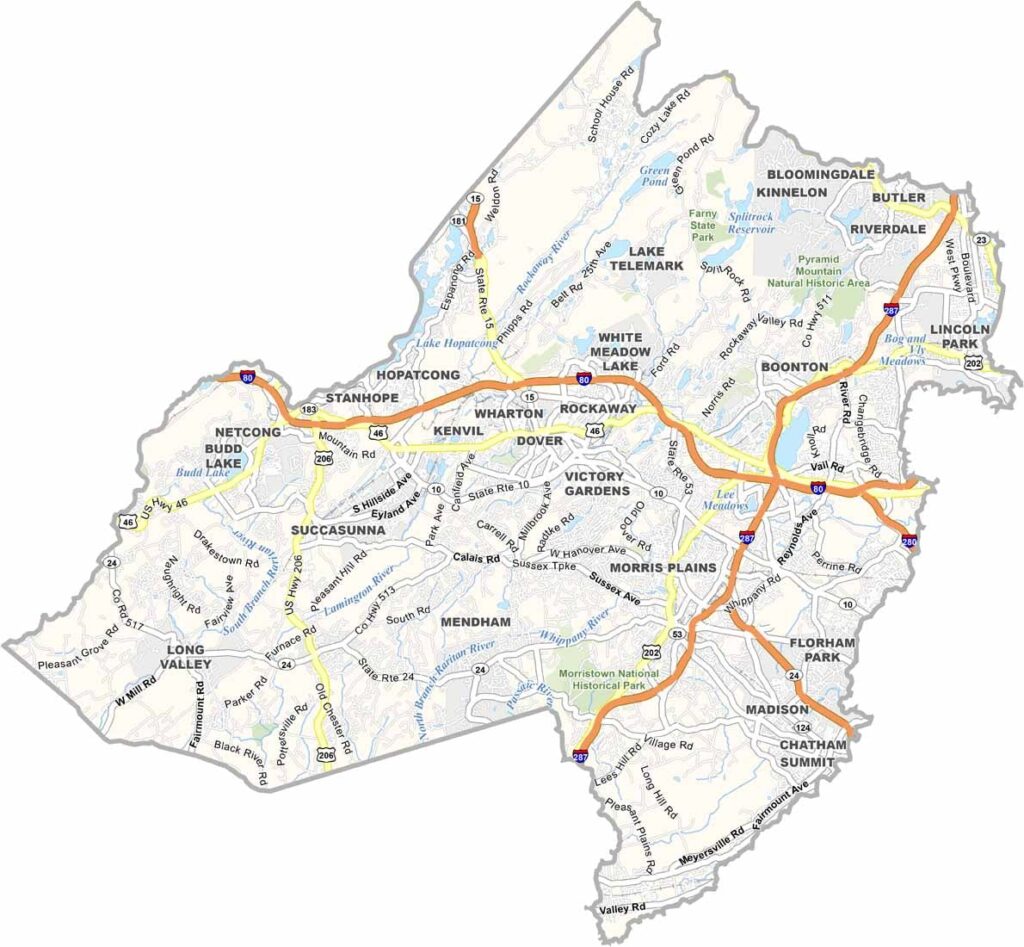
Morris County sits in the heart of North Jersey, where history meets high-tech. Morristown, the county seat, served as Washington's headquarters during the Revolutionary War and is now home to sleek office parks and Fortune 500 companies.
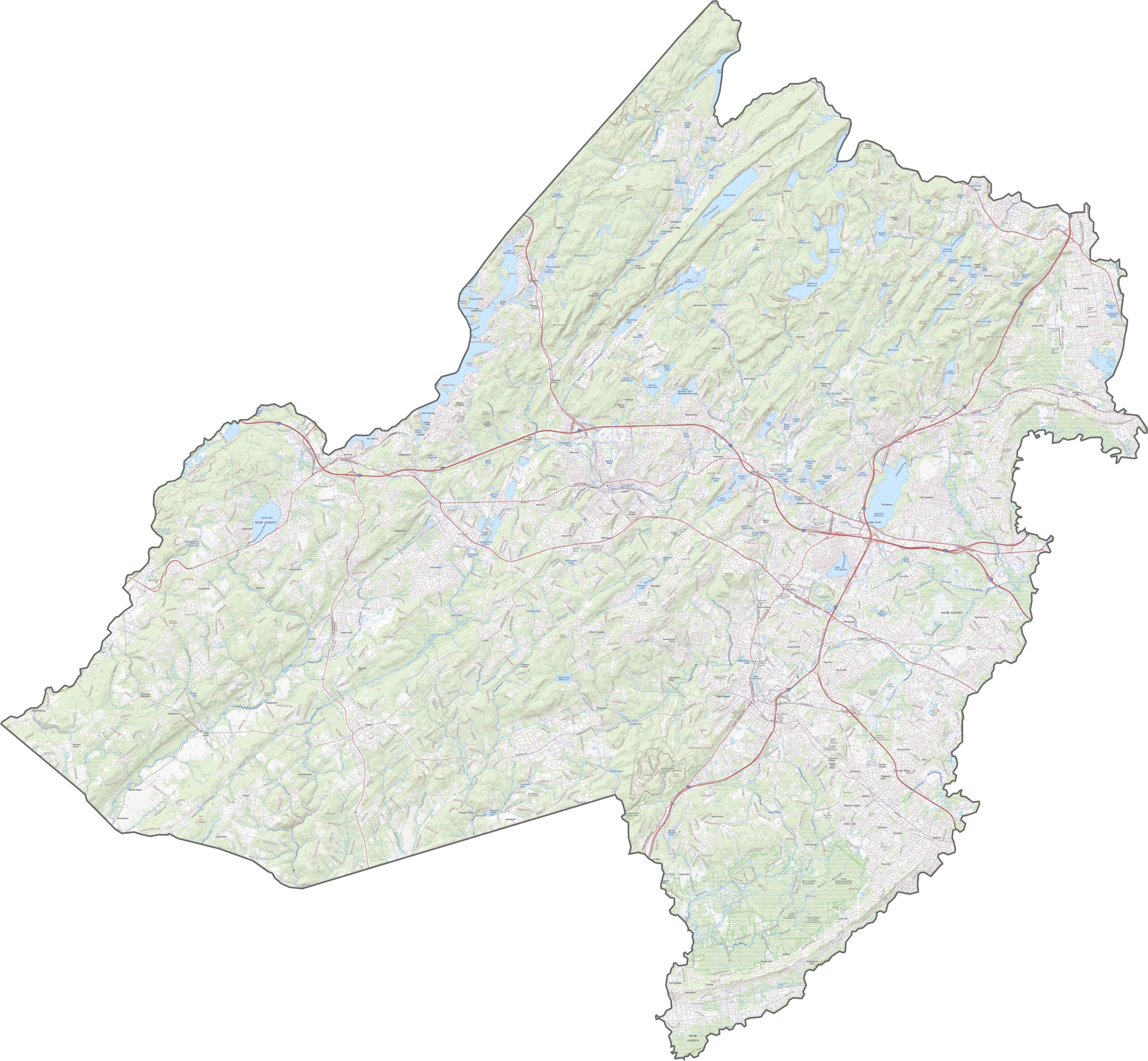
The county has serious natural beauty too. Lake Hopatcong, New Jersey's largest lake, is perfect for boating and fishing, and you'll find plenty of hiking trails in the Pyramid Mountain Natural Historic Area.
Each of Morris County's towns has its own flavor. Madison has a quaint downtown and Drew University, Parsippany is all business, and Chester is known for its antique shops. Culture isn't in short supply either, so be sure to check out the Mayo Performing Arts Center or the Morris Museum.
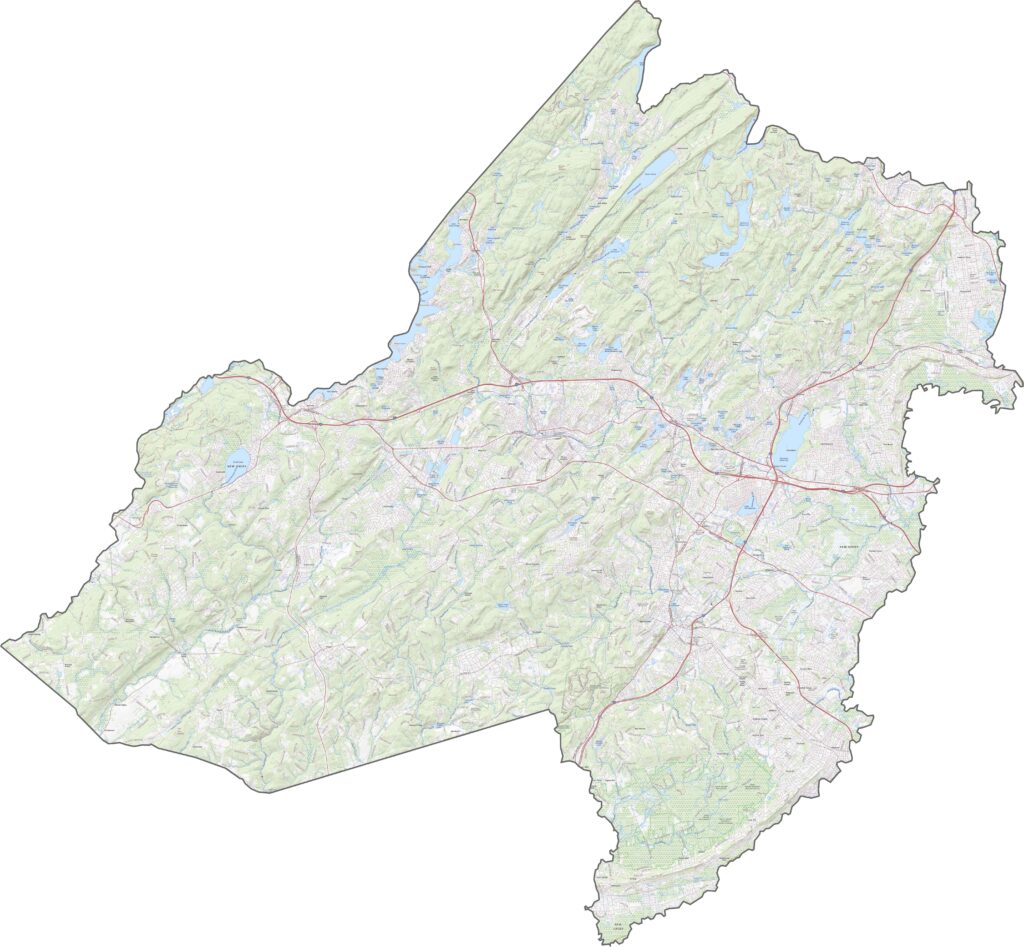
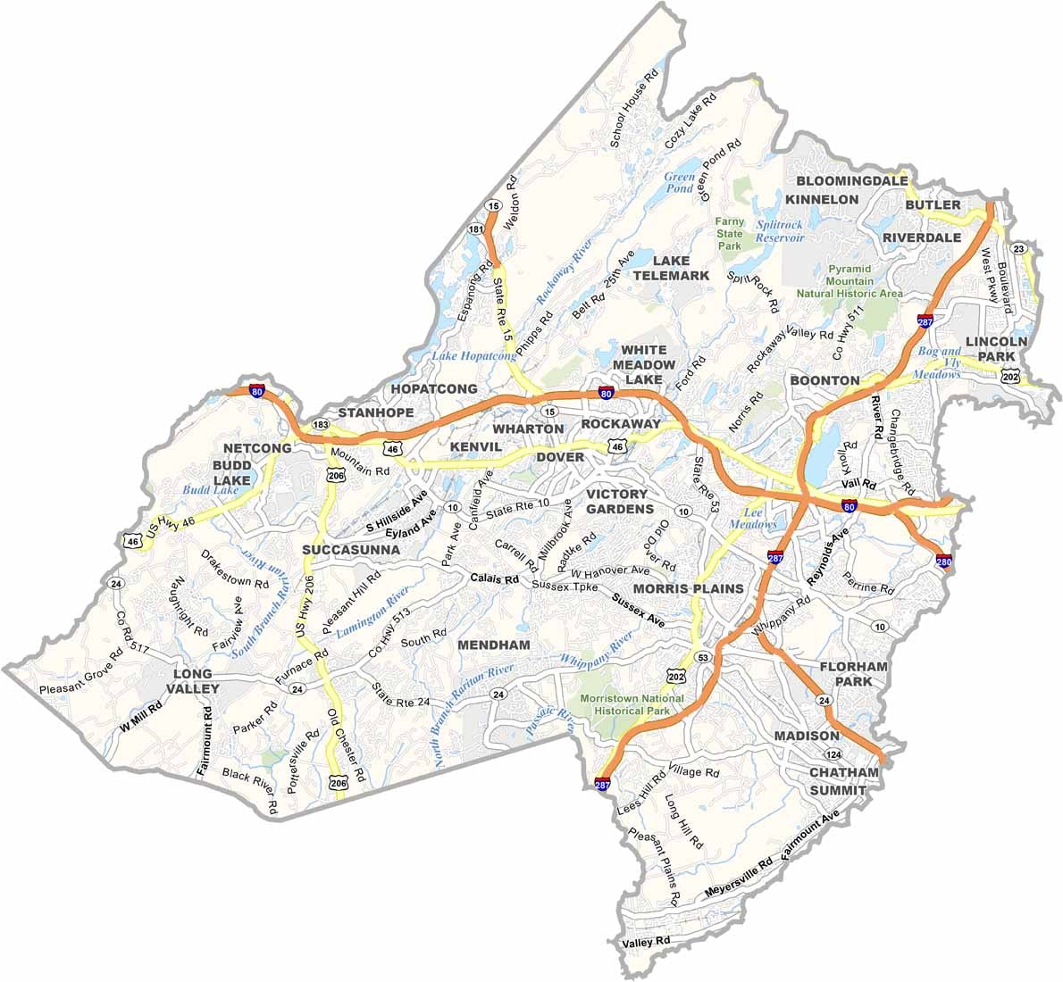
For a closer look at the highway network, check out our Morris County road map. Our zoom tool helps you find all the major highways, including I-80, I-287, and Route 10.
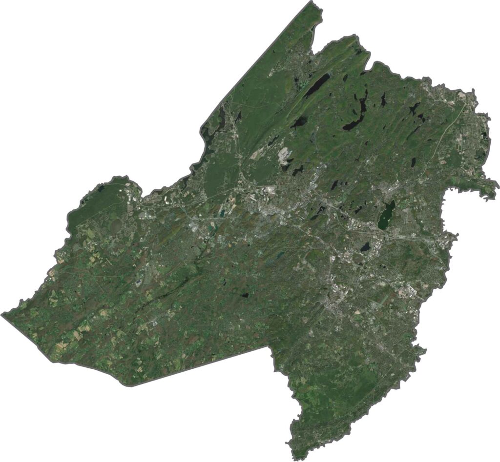
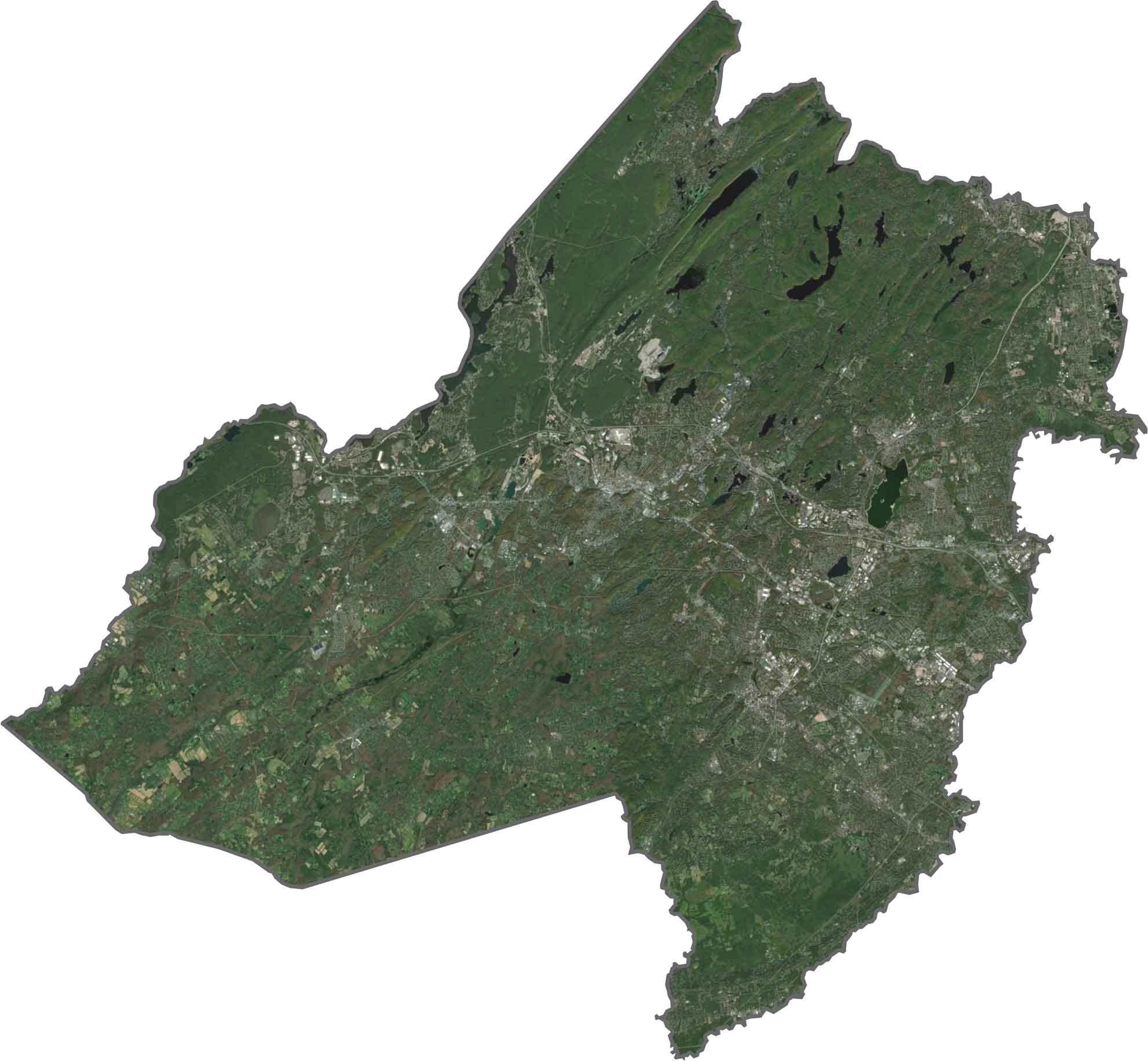
Morris County is green-heavy, with bursts of gray. From above, the trees seem to win, as parks, lakes, and wooded neighborhoods dominate the view, especially out west.
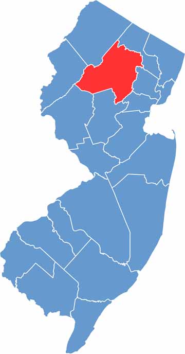
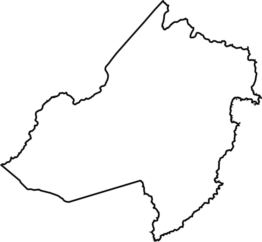
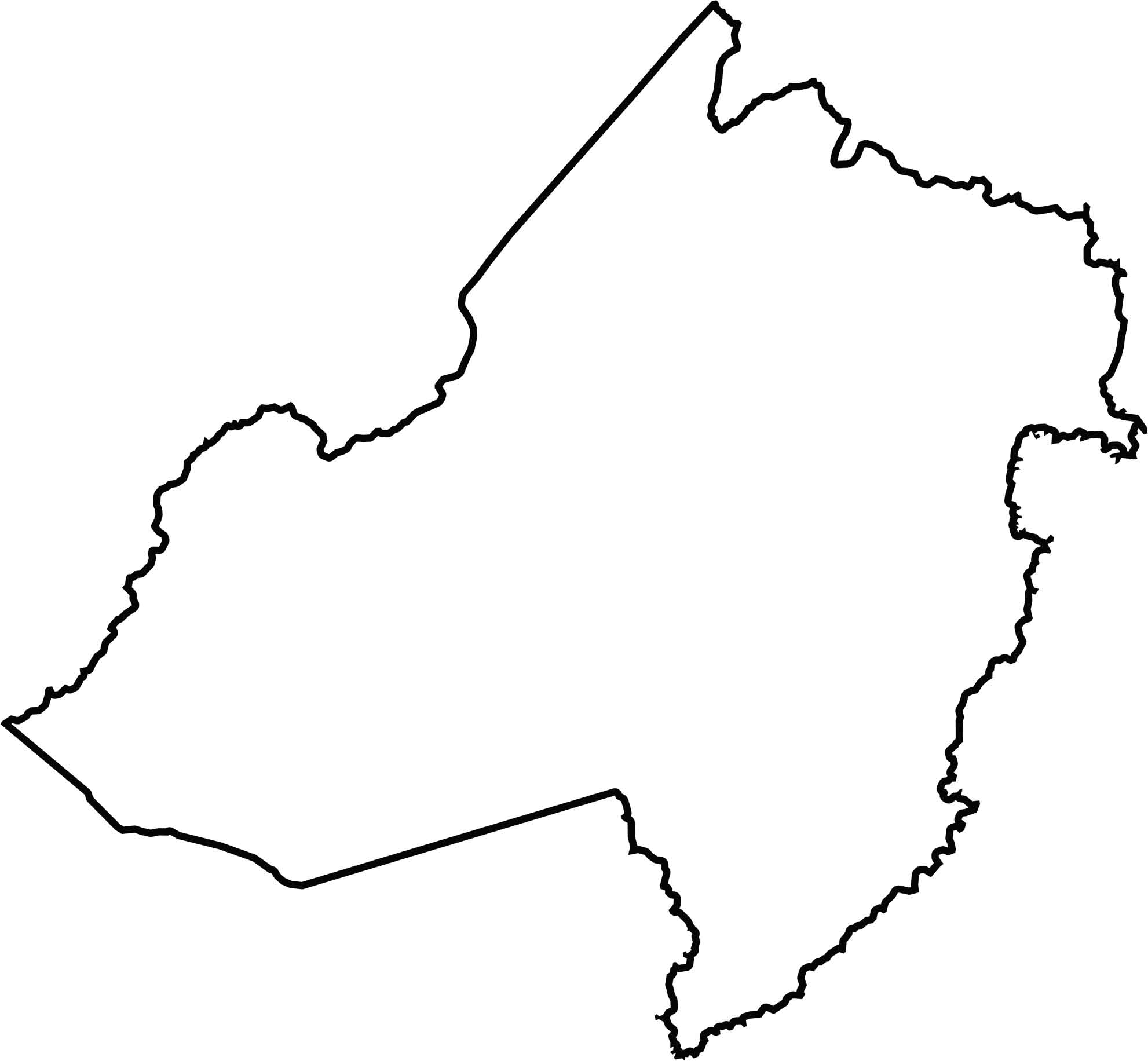
Morris County has a lopsided oval shape, with a few odd bumps and angles. It doesn't touch another state, but it sits at the crossroads of a lot. It's almost like the quiet center of the northern half of Jersey.






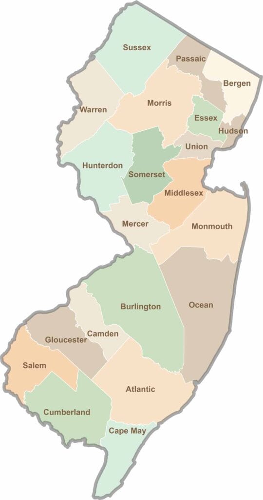
New Jersey packs a lot into its 21 counties, from beach towns and Pine Barrens forests to rolling farmland. Trace colonial history in Hunterdon County or stroll the boardwalk in Ocean County. There's far more here than meets the Turnpike.