
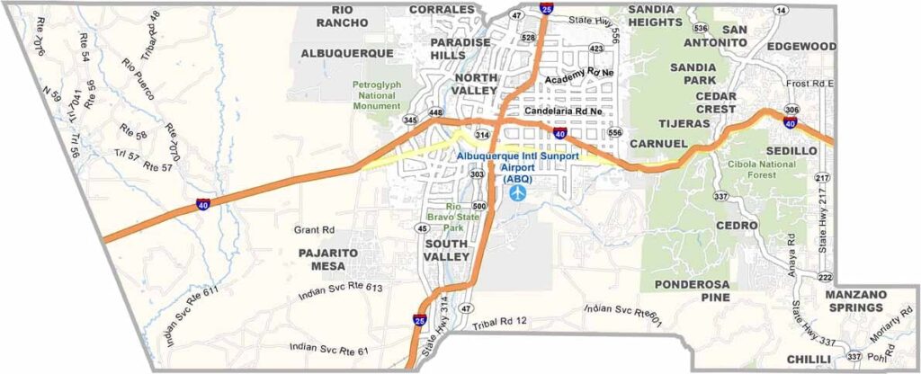
Bernalillo County is located in the heart of New Mexico and is home to Albuquerque, the state’s largest city. The county combines busy urban life with striking natural scenery. The Rio Grande runs through the area, bringing life to the surrounding high desert.
The Sandia Mountains are visible from nearly anywhere in the county and look especially beautiful at sunset. Outdoor recreation is a big part of local life, with hiking, biking, and hot air ballooning among the popular activities.
The county has deep roots in Native American and Hispanic cultures, and its history is woven into everyday life. It’s a place where old traditions and modern life come together in interesting ways.
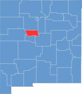
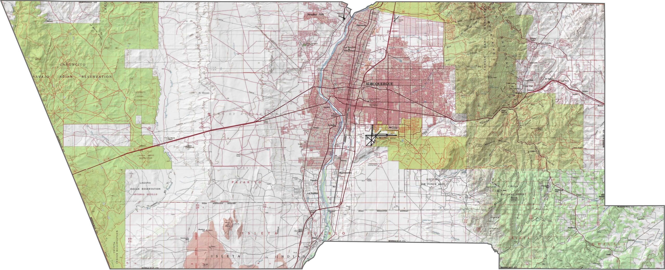
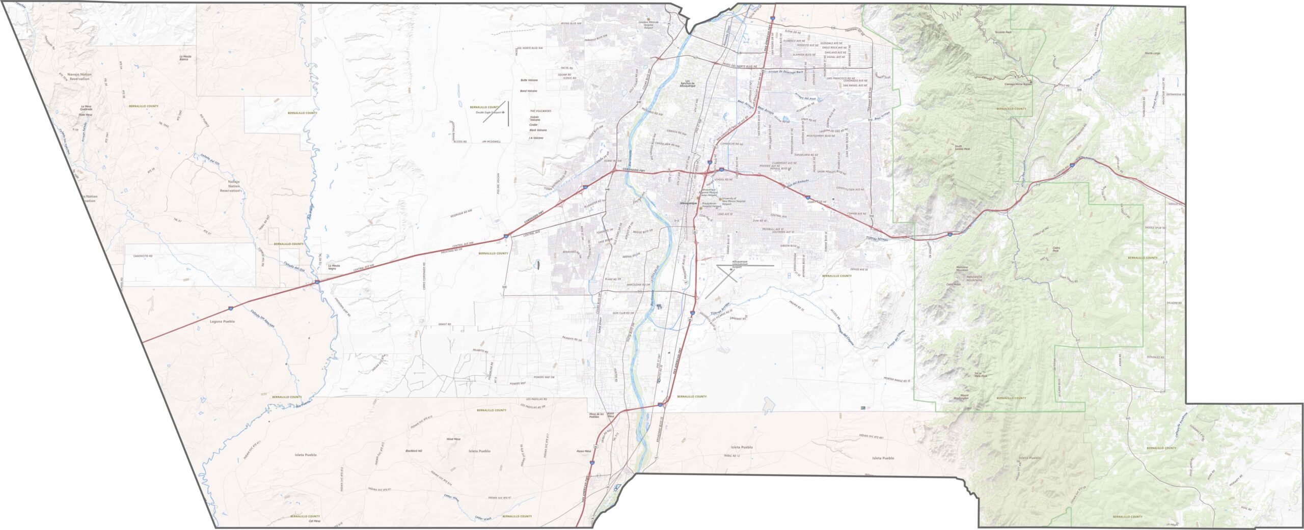
Bernalillo County has some major elevation changes. The Sandia Mountains rise along the eastern side, while the Rio Grande winds through the center. The terrain climbs quickly in the east and gradually drops toward the west, with flatter land in between.
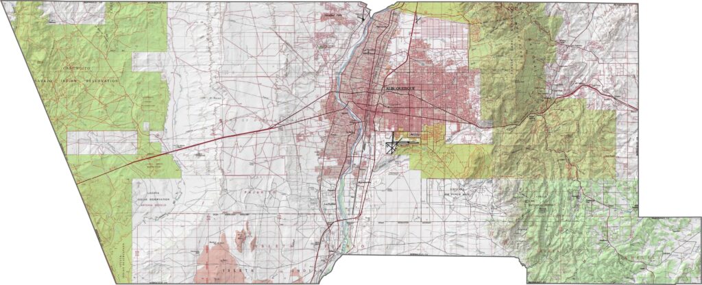
This is where much of New Mexico’s busiest traffic comes together. I-25 and I-40 meet in Albuquerque, creating a major highway junction. One moment you can be on a wide freeway, and the next you’re winding through canyons. Use our map zoom tool to explore shortcuts and scenic side streets.
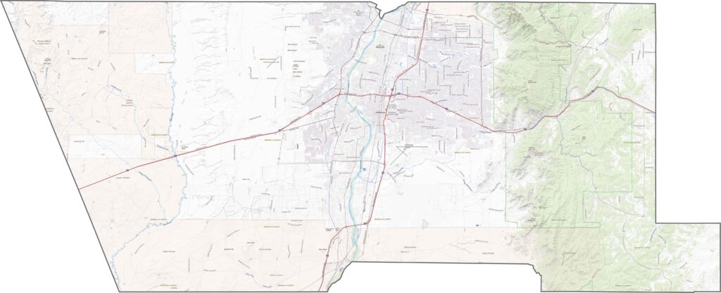
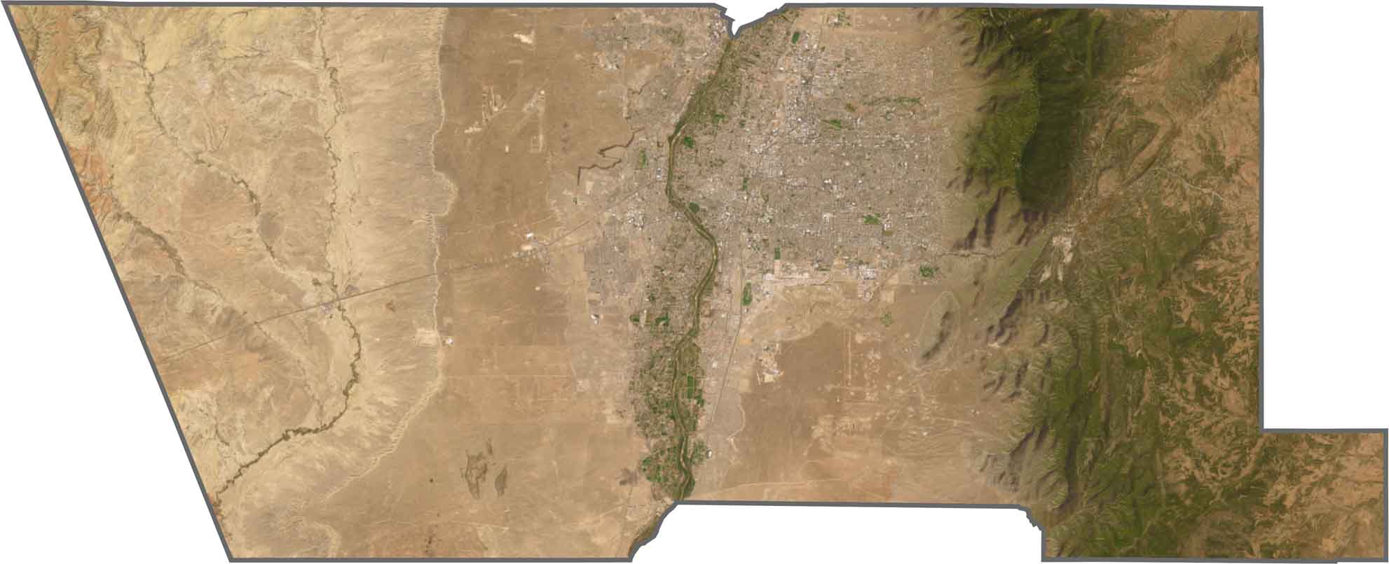
From above, Albuquerque stands out as a large gray grid in the center of the county, spreading outward in several directions. The Sandia Mountains form a dramatic barrier to the east, with steep cliffs and dense forests. To the west, the landscape shifts to brown mesas and scattered volcanic features.
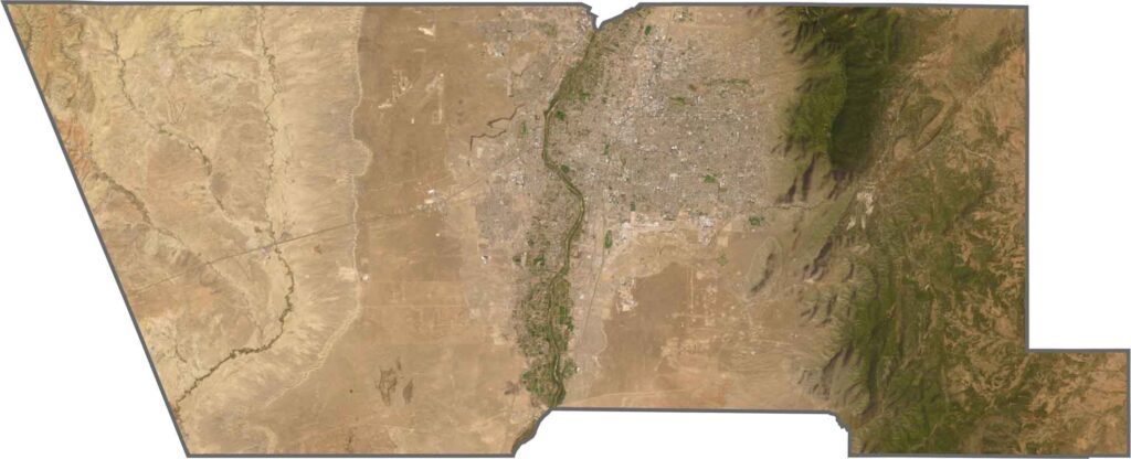
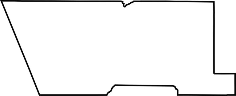
Bernalillo County has a boxy shape in the east that becomes more triangular toward the west. It does not border another state and sits close to the center of New Mexico.








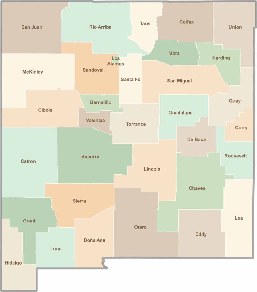
New Mexico’s 33 counties stretch from high desert landscapes to snow-capped mountain peaks. Each one has its own blend of cultures, scenery, and legends. One moment you could be exploring ancient ruins in McKinley County, and the next you might be stargazing beneath the wide-open skies of Hidalgo County.