
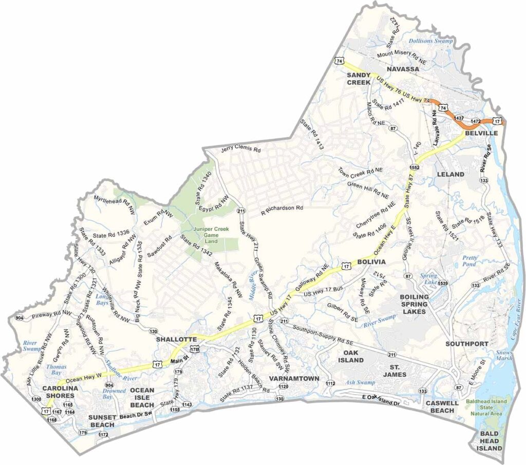
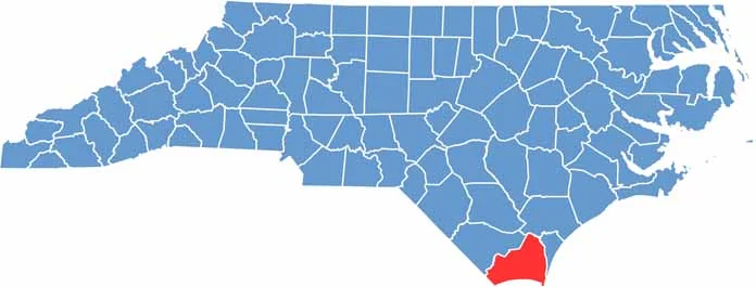
Life in Brunswick County, the southernmost county in North Carolina, revolves around beaches and boats. The Intracoastal Waterway runs through it, and visitors flock to Ocean Isle Beach and Sunset Beach.
There is more here than sand and surf. The county has a rich maritime history, and Southport, with its charming waterfront, has been a popular filming location. Golf courses draw retirees and vacationers, while the Brunswick Town/Fort Anderson State Historic Site tells stories of colonial and Civil War days.
Fishing is big business, both commercial and recreational, and the coast is home to some of the best seafood restaurants in the state. Locals enjoy a laid-back lifestyle with plenty of outdoor activities.
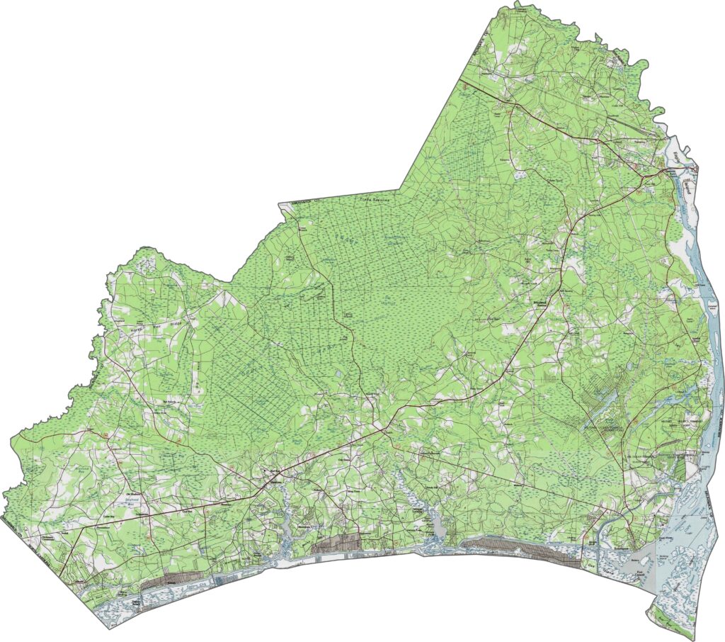
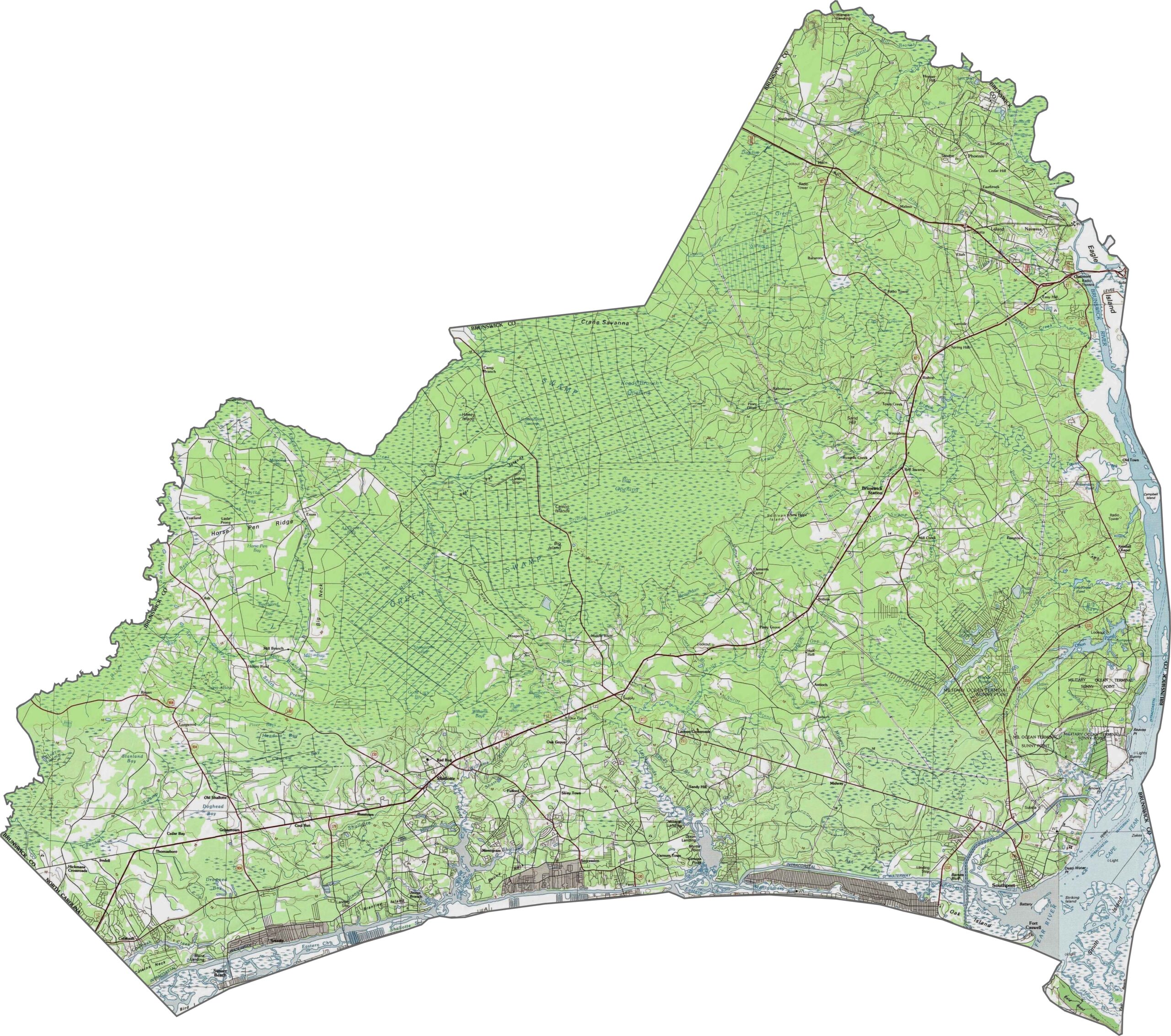
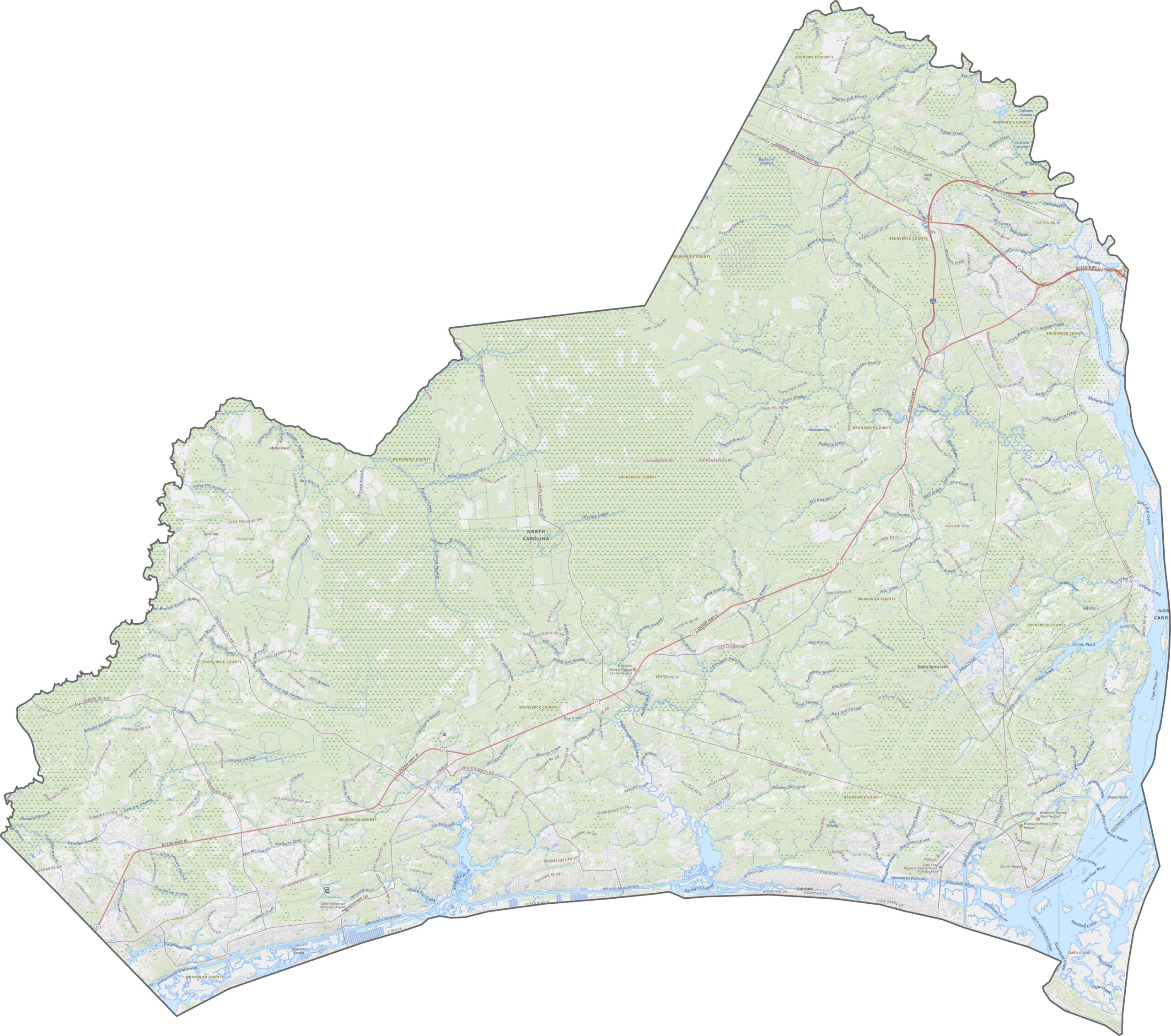
Brunswick County is low, flat, and sandy, with elevation barely above sea level in many places. Marshes and wetlands dominate, though some drier ridges rise across the inland areas. Use our zoom tool to explore the topography of Brunswick County.
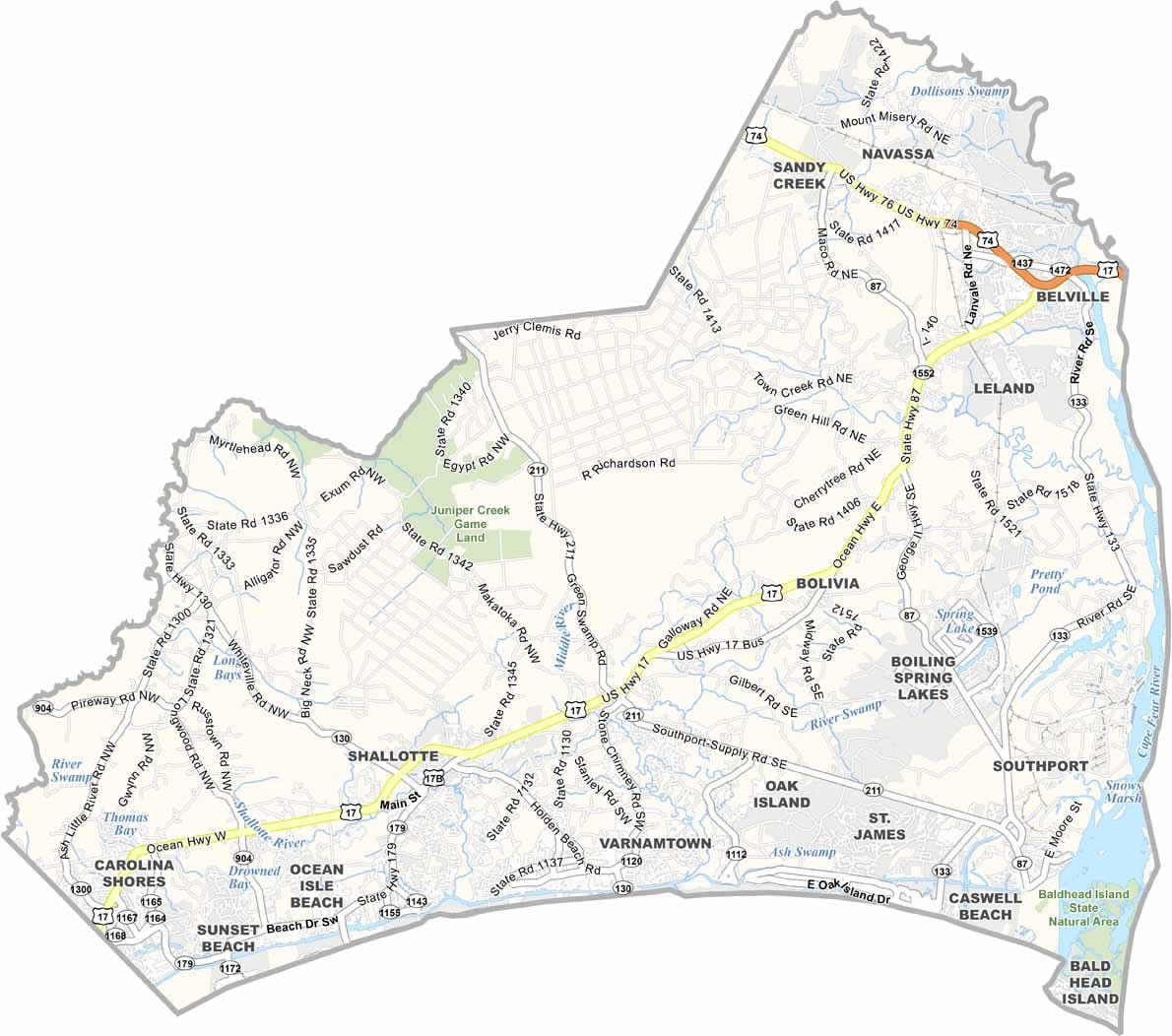
Brunswick County sits on the coast, yet its highway system reaches well inland. U.S. Route 17 runs mostly east to west and through the northern part of the county. Roads grow sparse near the ocean, but North Carolina Highway 133 reaches the riverfront. The county has no interstates.
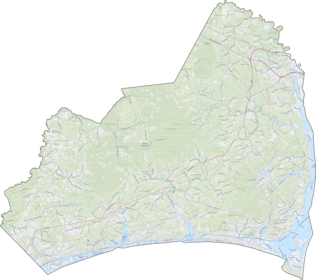
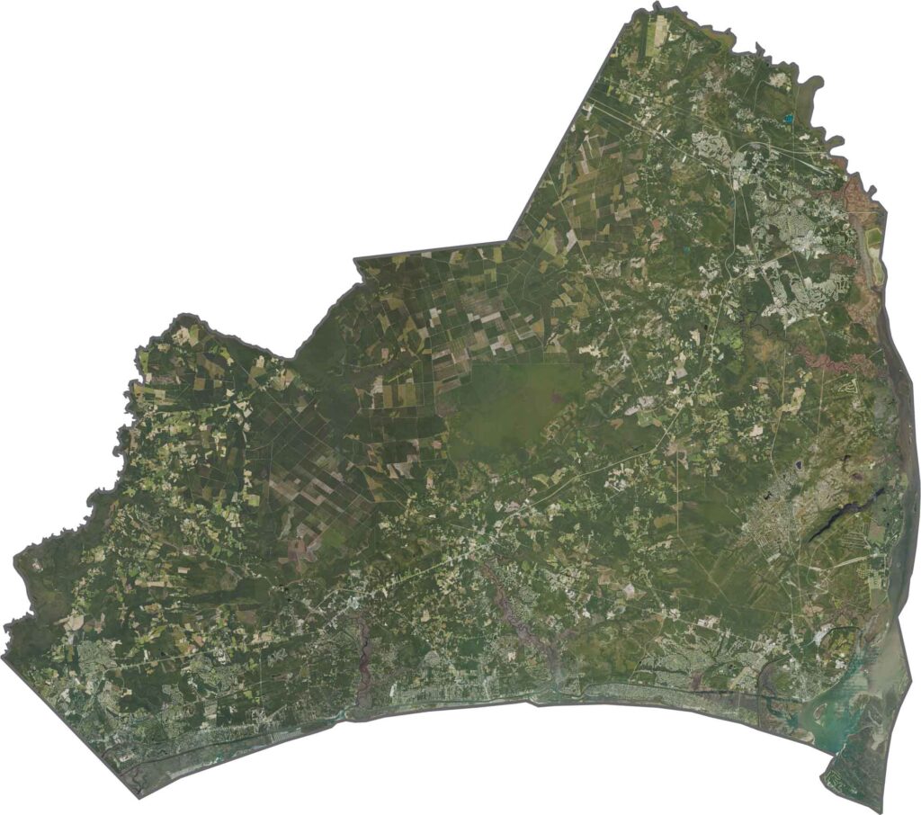
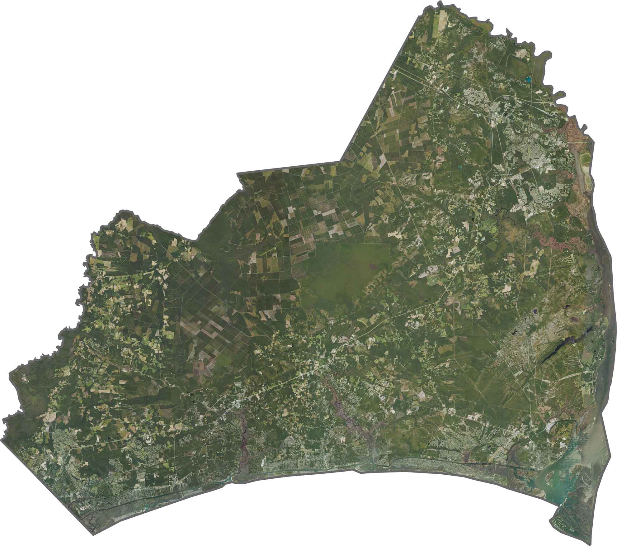
From above, the coastal character of Brunswick County is clear. Rivers, estuaries, and barrier islands are scattered across our satellite map. Even inland, large forested areas break up the developed zones. The beaches get most of the attention, but the green inland areas matter just as much.
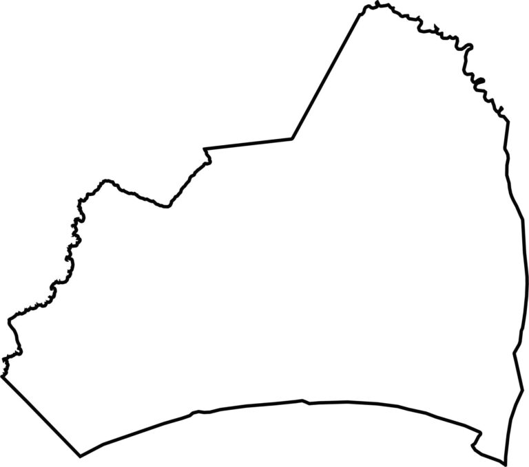
Brunswick County is thick at the bottom and narrows toward the top. The Cape Fear River forms much of its eastern boundary, and the county borders South Carolina to the south. Bald Head Island lies just offshore but is part of the county as well.








North Carolina’s 100 counties each have their own personality. Some embrace beach life, while others are known for barbecue or bluegrass. Sometimes, you’ll find all three in one place. Across the state, there are waterfalls, farmland, and NASCAR.