
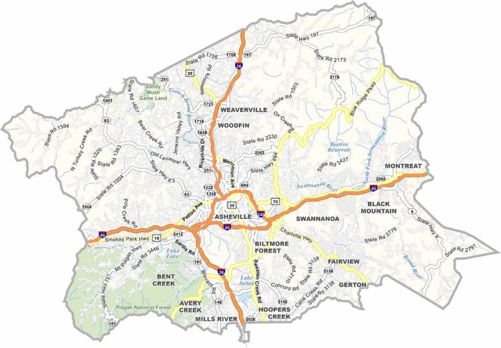
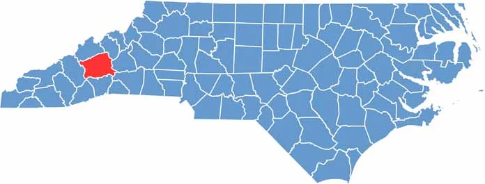
Buncombe County lies in western North Carolina, right in the heart of the Blue Ridge Mountains. Asheville, the county seat, is its crown jewel, and downtown is always buzzing.
The county is packed with artists, musicians, and free spirits. Craft breweries and offbeat art galleries are never more than a few steps away.
The Biltmore Estate, the largest private residence in America, is a major draw, and hiking trails crisscross the area. The county has a quirky vibe that is hard to put into words, and you have to experience it yourself to believe it.
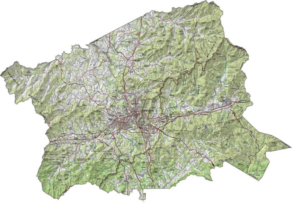
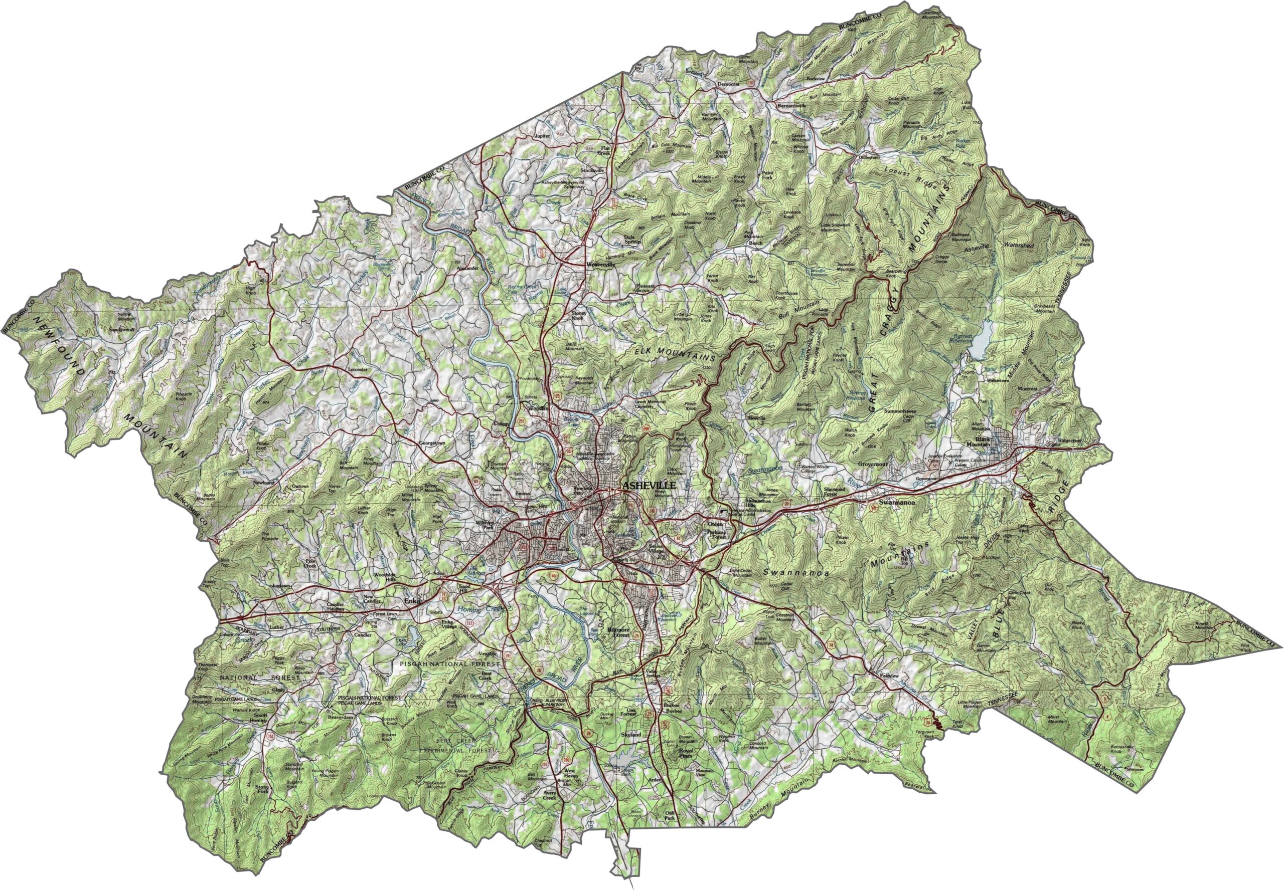
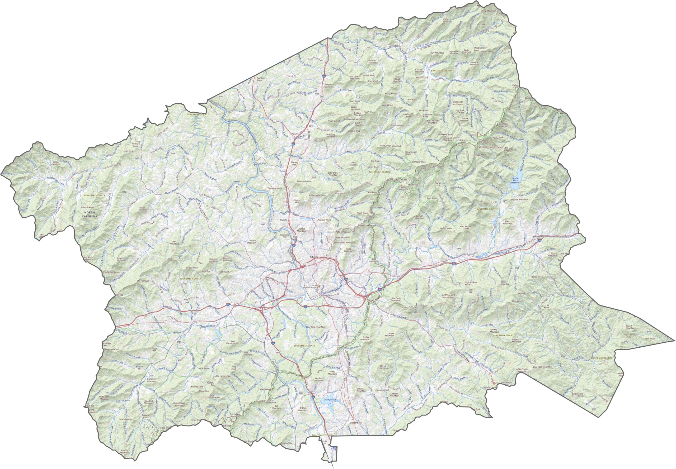
Buncombe County is mountain country. Valleys carve out flat pockets, but ridgelines dominate the view. The Blue Ridge Parkway passes through high elevations, winding between peaks. Use our zoom feature to follow every curve and contour.
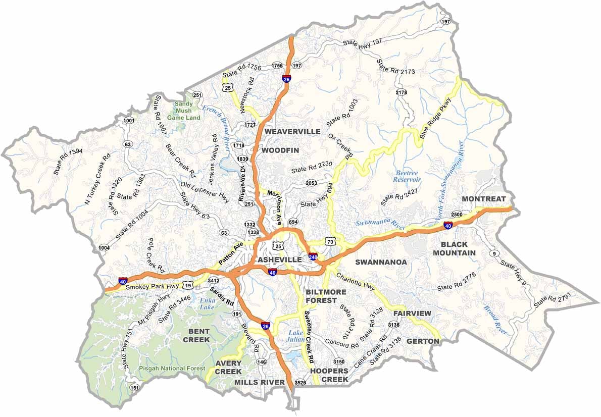
Western North Carolina is far from flat, but the highways in Buncombe County work around the terrain. Interstate 40 crosses the middle of the county from west to east, and U.S. Route 70 overlaps parts of Interstate 240 around town. The mountain roads twist and turn, yet they still reach the far edges of the county.
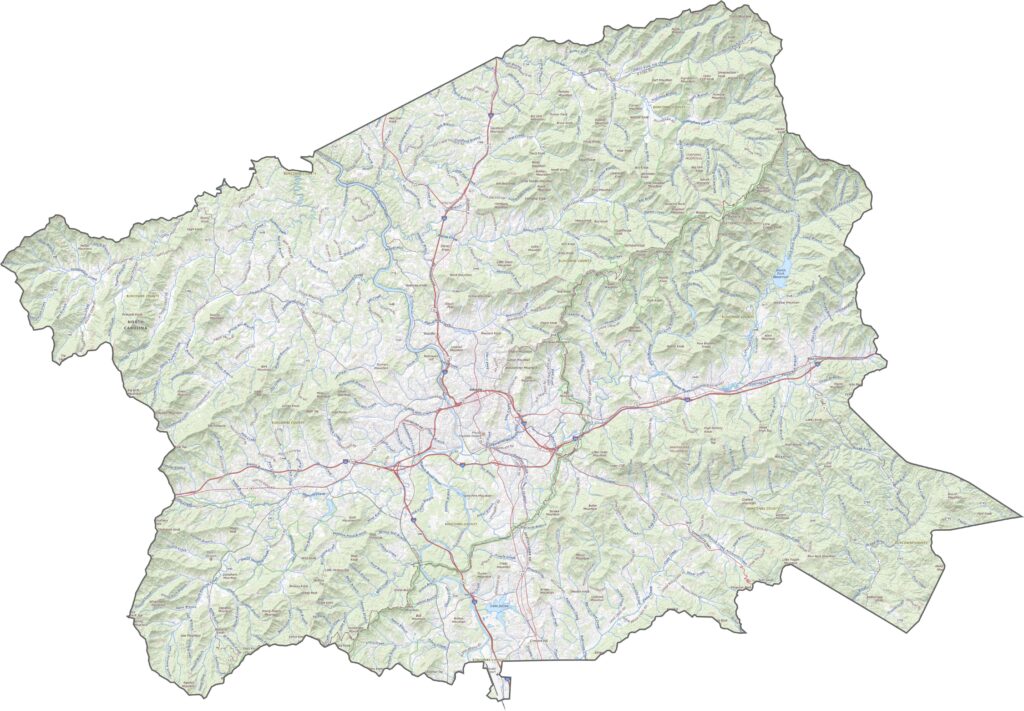
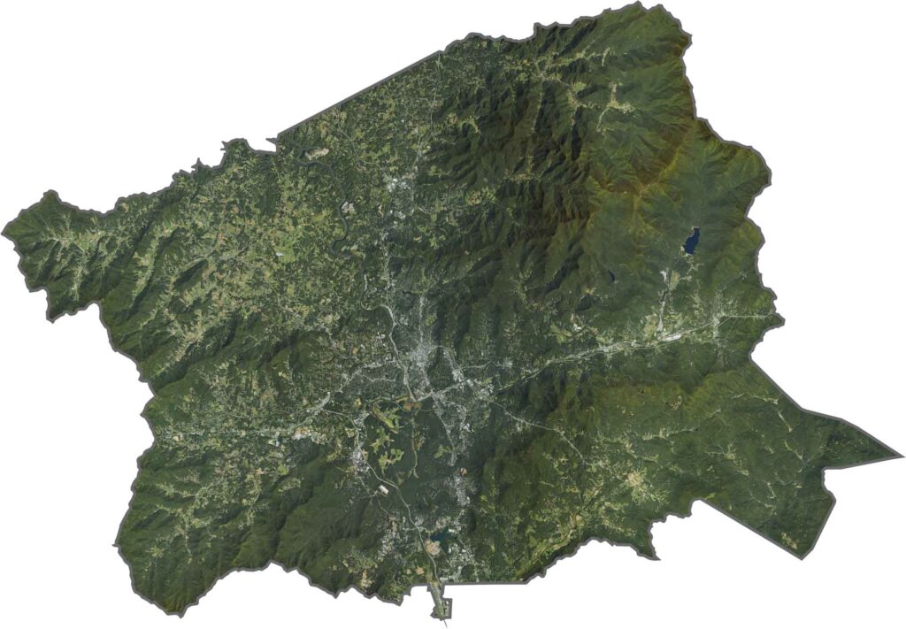
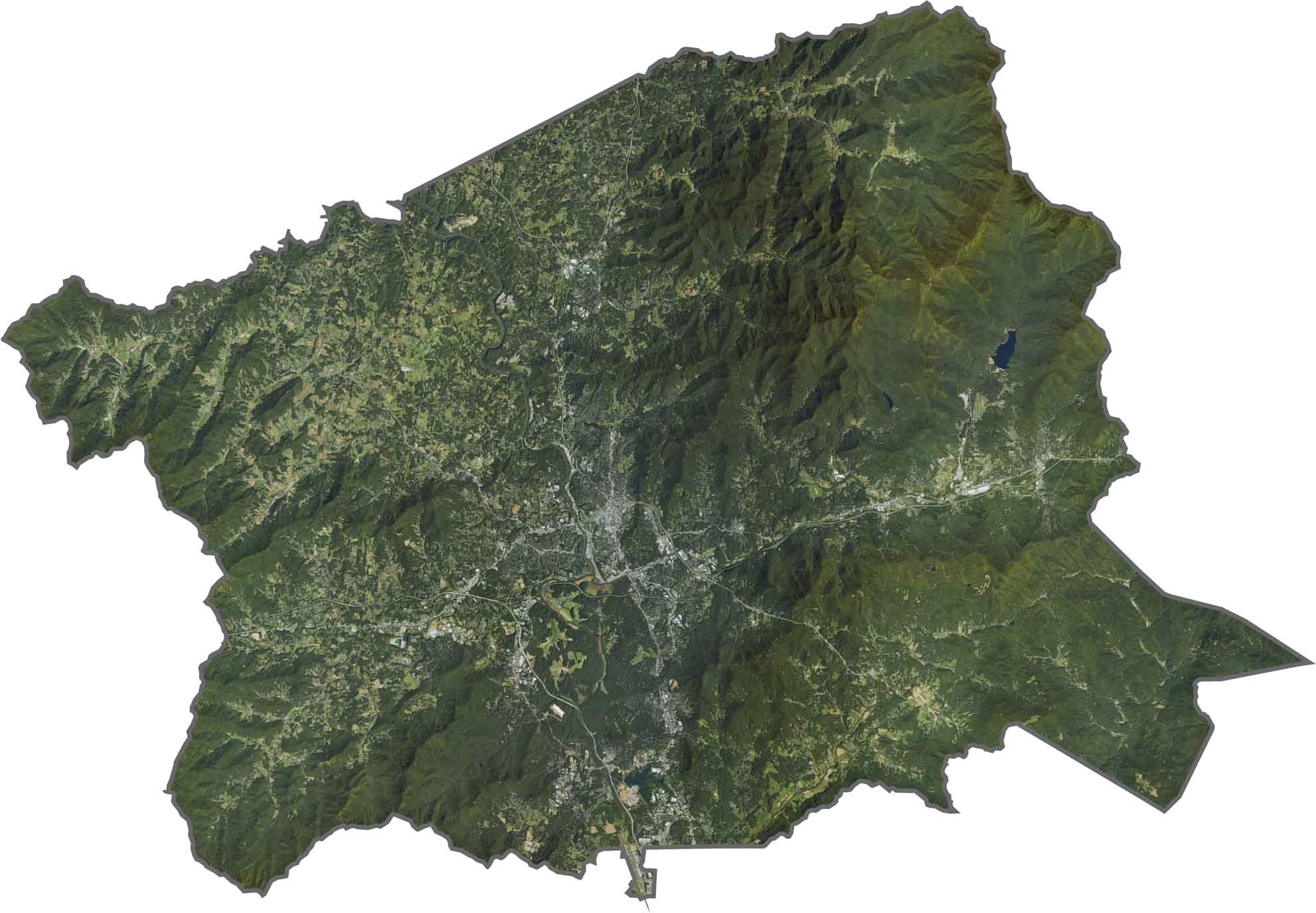
On our satellite map, the Asheville area looks bright and crowded from space, while deep green covers the rest, especially to the north and west. Forests cling tightly to the mountain slopes. Farms and open spaces are present, but tree cover steals the spotlight.
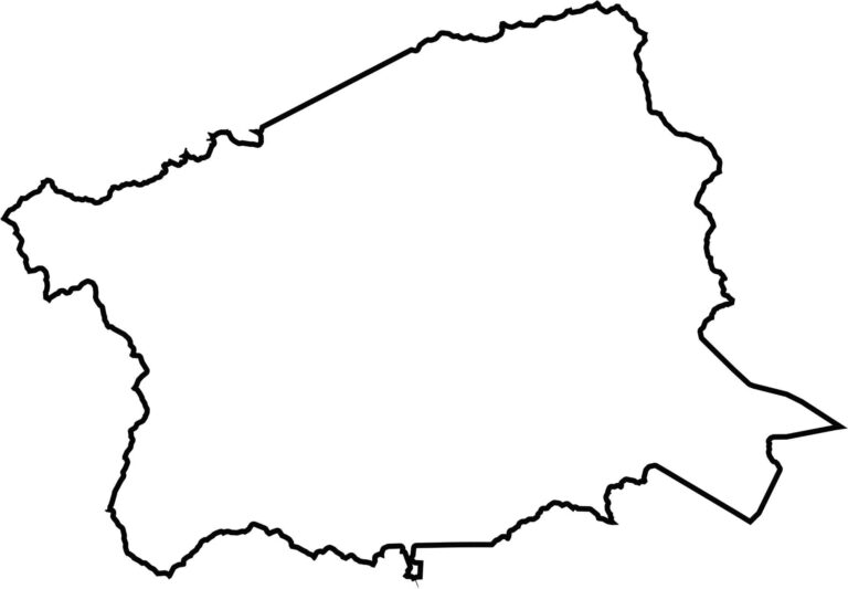
Buncombe County has an irregular, compressed shape, like a bent square with soft edges. It lies close to Tennessee but does not touch it.








North Carolina’s 100 counties each have their own personality. Some embrace beach life, while others are known for barbecue or bluegrass. Sometimes, you’ll find all three in one place. Across the state, there are waterfalls, farmland, and NASCAR.