
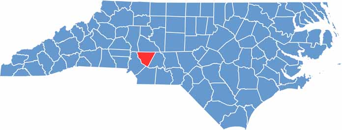
Cabarrus County lies just northeast of Charlotte in the Piedmont region. Speed fans take note: the county is home to the Charlotte Motor Speedway, and NASCAR enthusiasts visit all year long.
Racing is only part of the story. Concord Mills is a major shopping destination, and a growing craft beer scene has joined the mix.
The county has deep roots in textile manufacturing. Gold was first found here in 1799, and Reed Gold Mine still offers tours where visitors can pan for gold themselves.
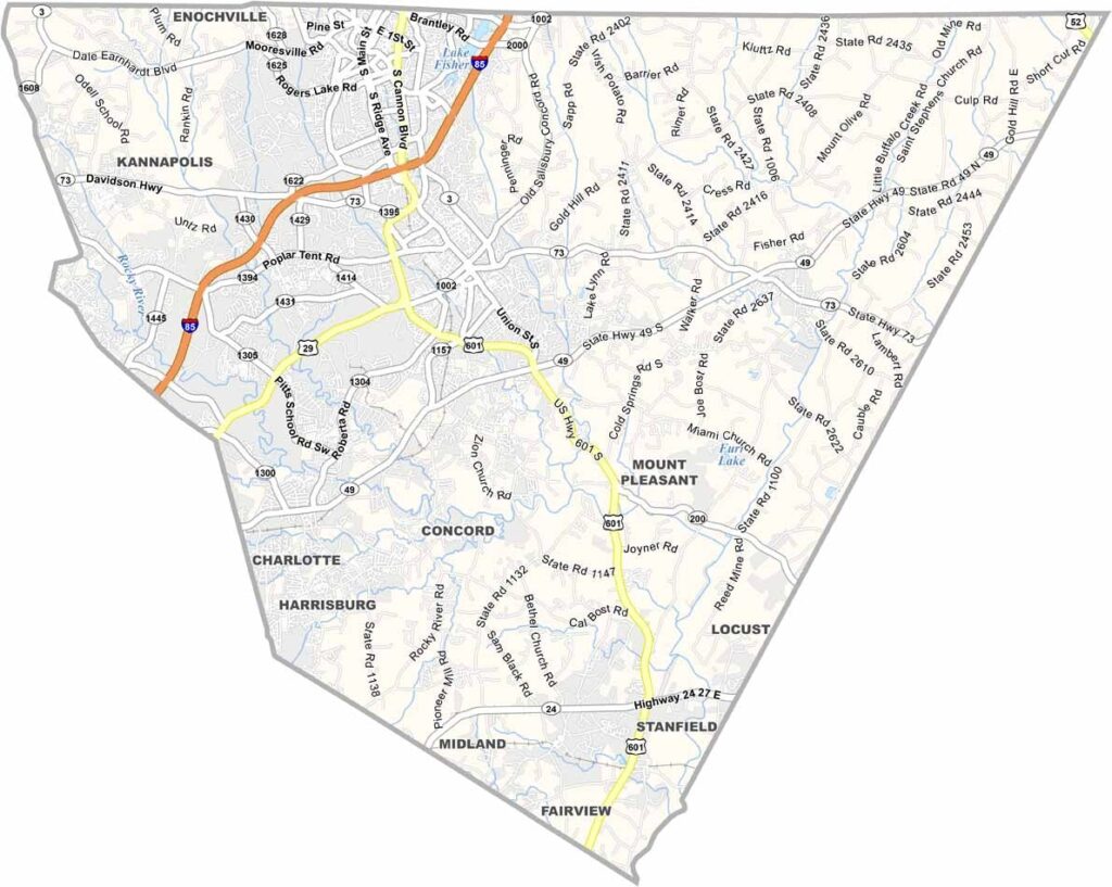
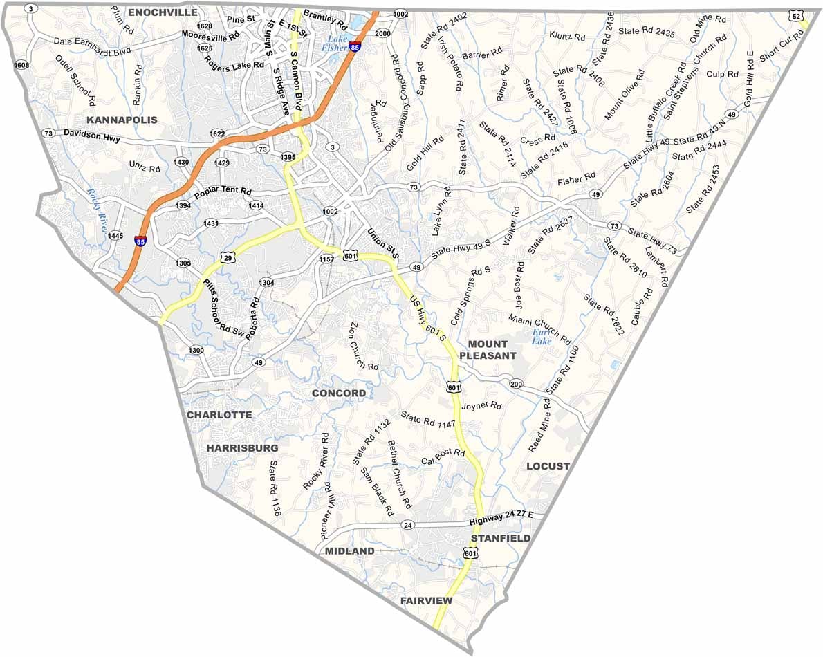
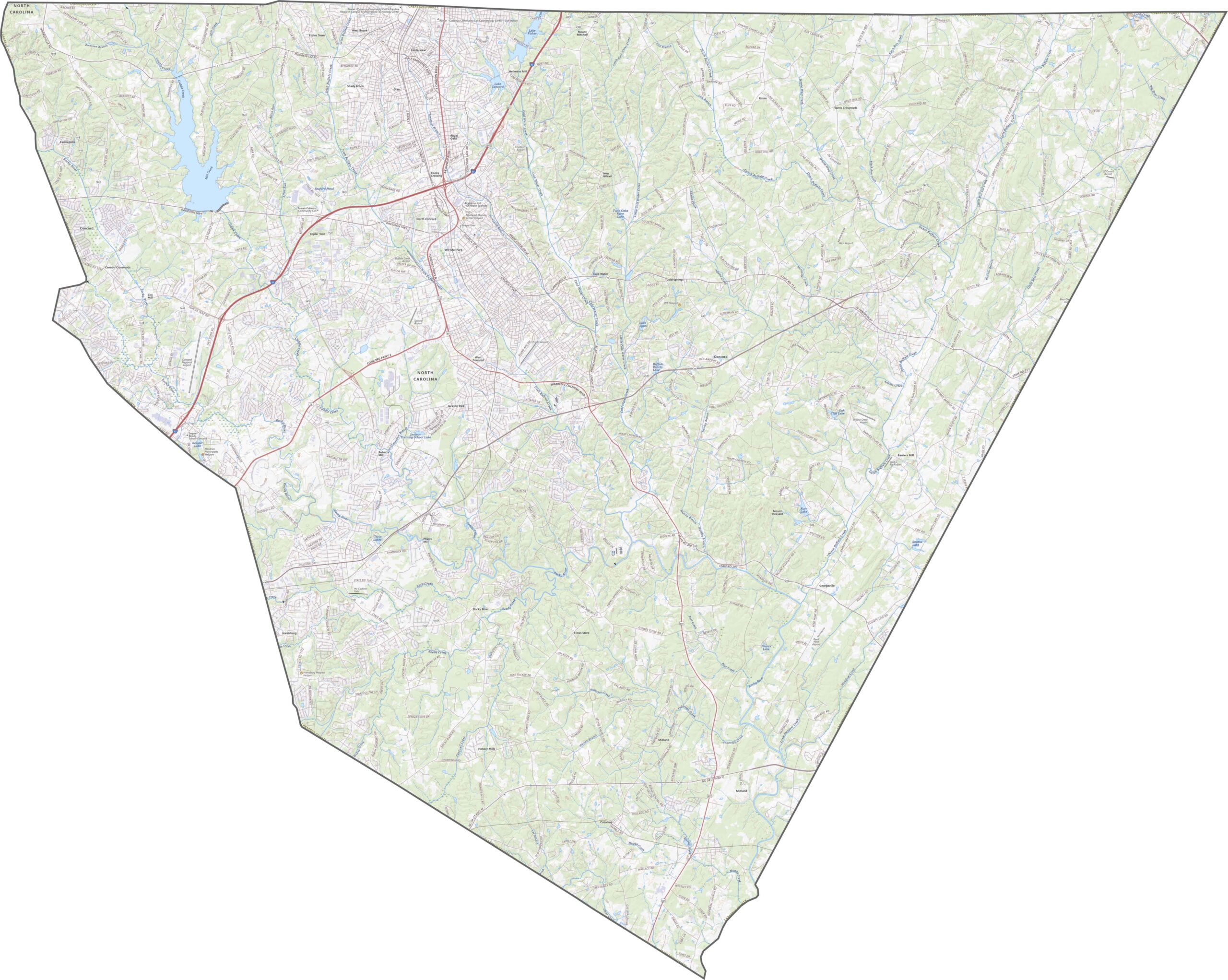
Cabarrus County sits just northeast of Charlotte, so traffic is a real factor. Interstate 85 is the main artery and runs right through Concord. U.S. Route 601 also cuts diagonally across the county, which is useful but slower. Follow every highway with our zoom tool and road map below.
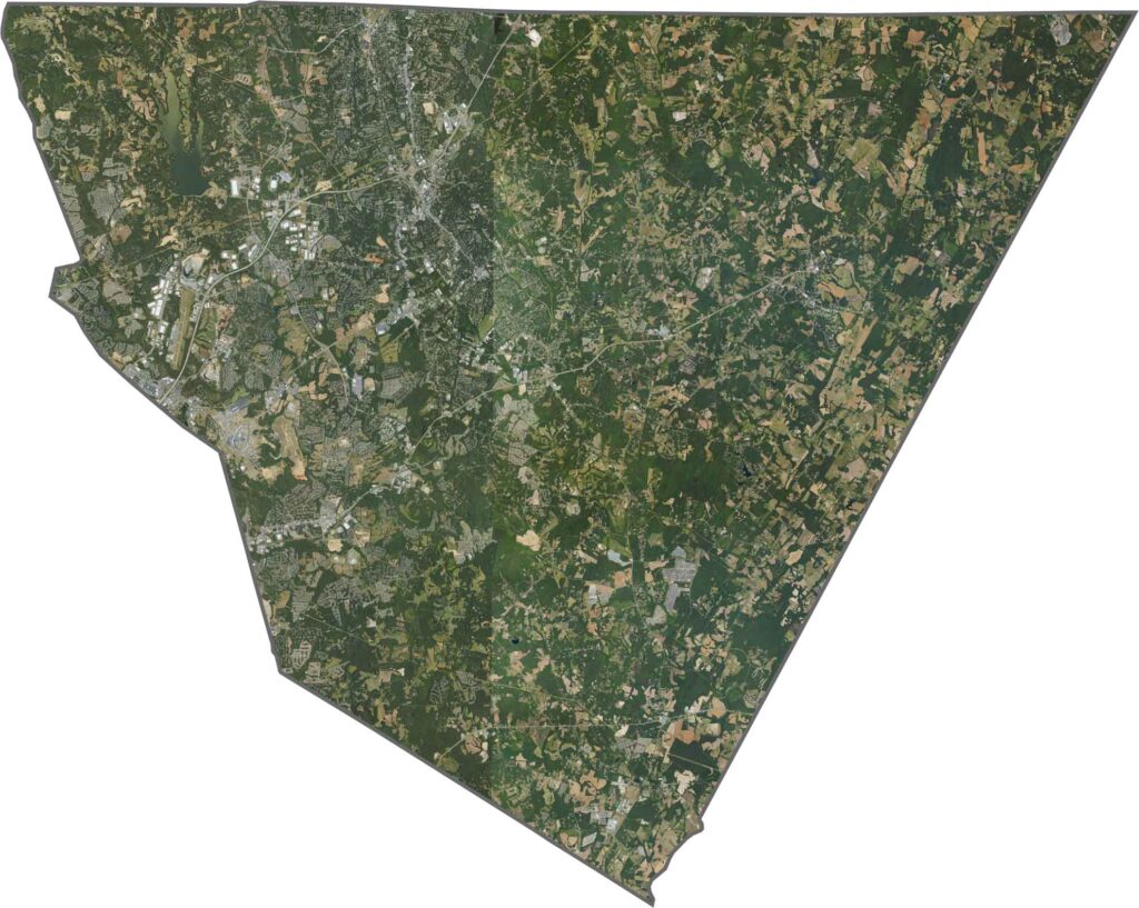
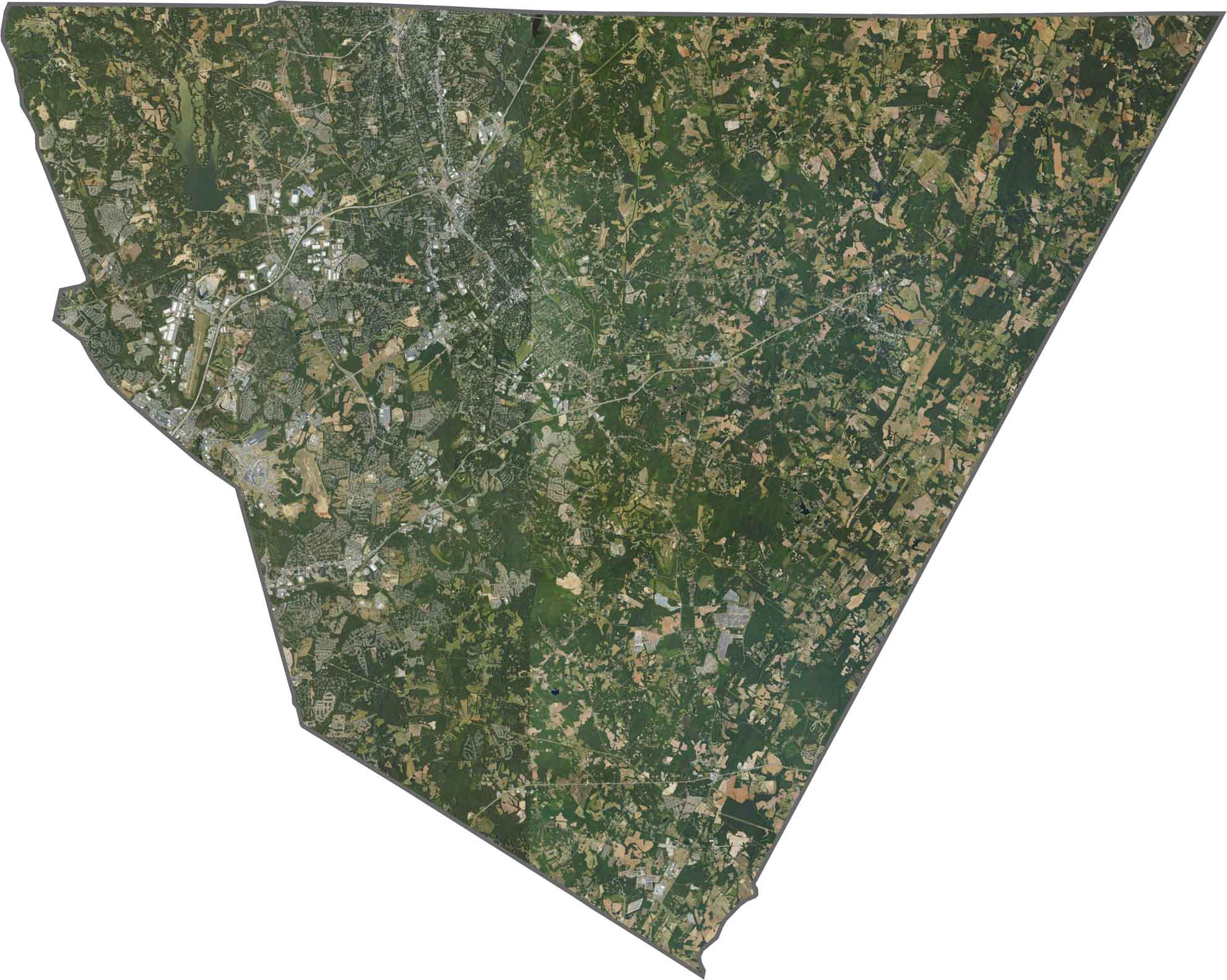
From above, development dominates the western side, and the neighborhoods and shopping centers of Concord and Kannapolis stand out clearly. Toward the east, fields and forests are spread more evenly.
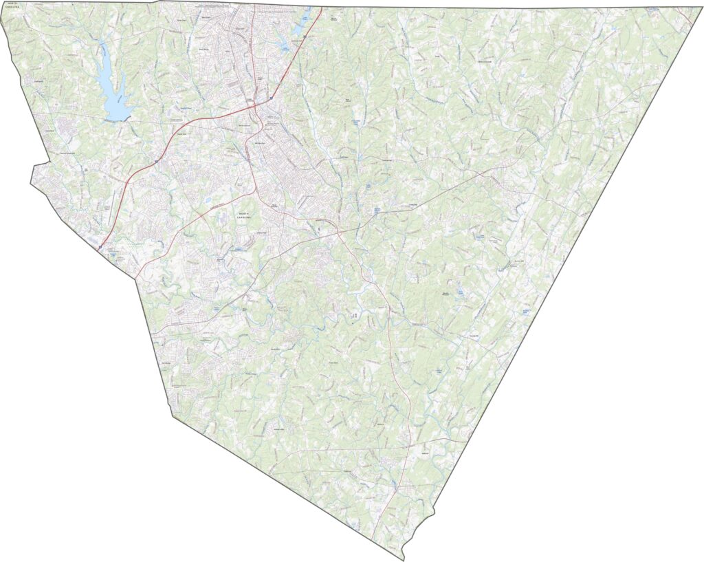
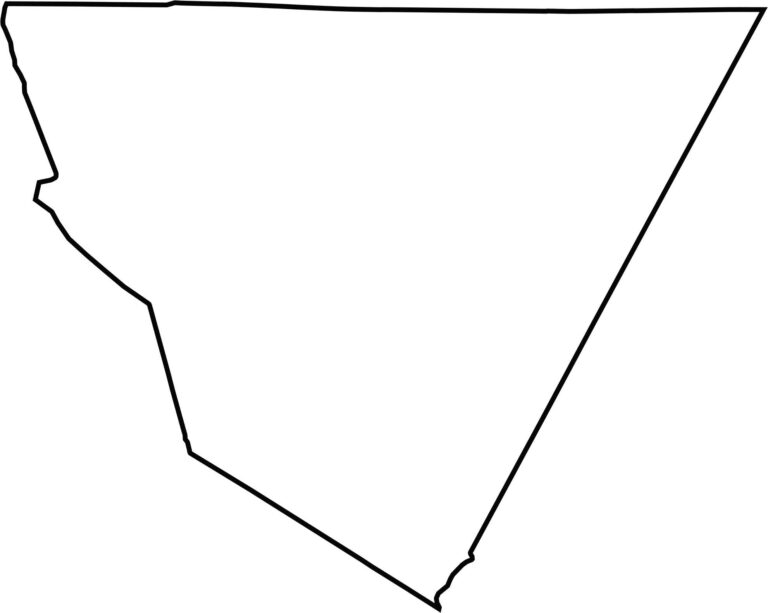
Cabarrus County resembles a tilted diamond or even a pizza slice. No major rivers mark its edges. It lies close to South Carolina but does not share a border with it, and it touches five other counties within the state.








North Carolina’s 100 counties each have their own personality. Some embrace beach life, while others are known for barbecue or bluegrass. Sometimes, you’ll find all three in one place. Across the state, there are waterfalls, farmland, and NASCAR.