
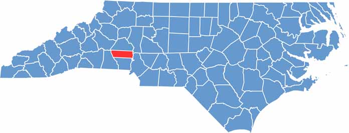
Lincoln County sits just west of Charlotte, a mix of rural charm and suburban growth. Lincolnton, the county seat, has a quaint downtown filled with local shops.
The county has deep roots in the textile industry, and you can still see old mill buildings dotting the landscape. The northern tip of Lake Norman dips into the county, offering great recreation options.
History runs deep here. The Battle of Ramsour's Mill, a Revolutionary War skirmish, happened in what is now Lincolnton. The Apple Festival each fall is a big draw, and locals love their BBQ.
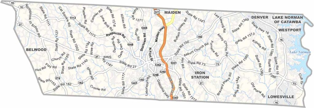
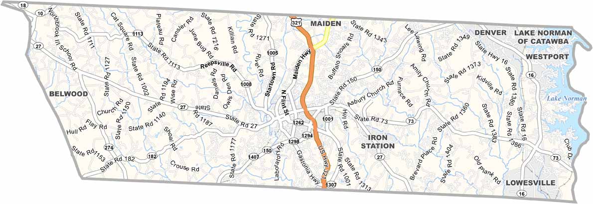
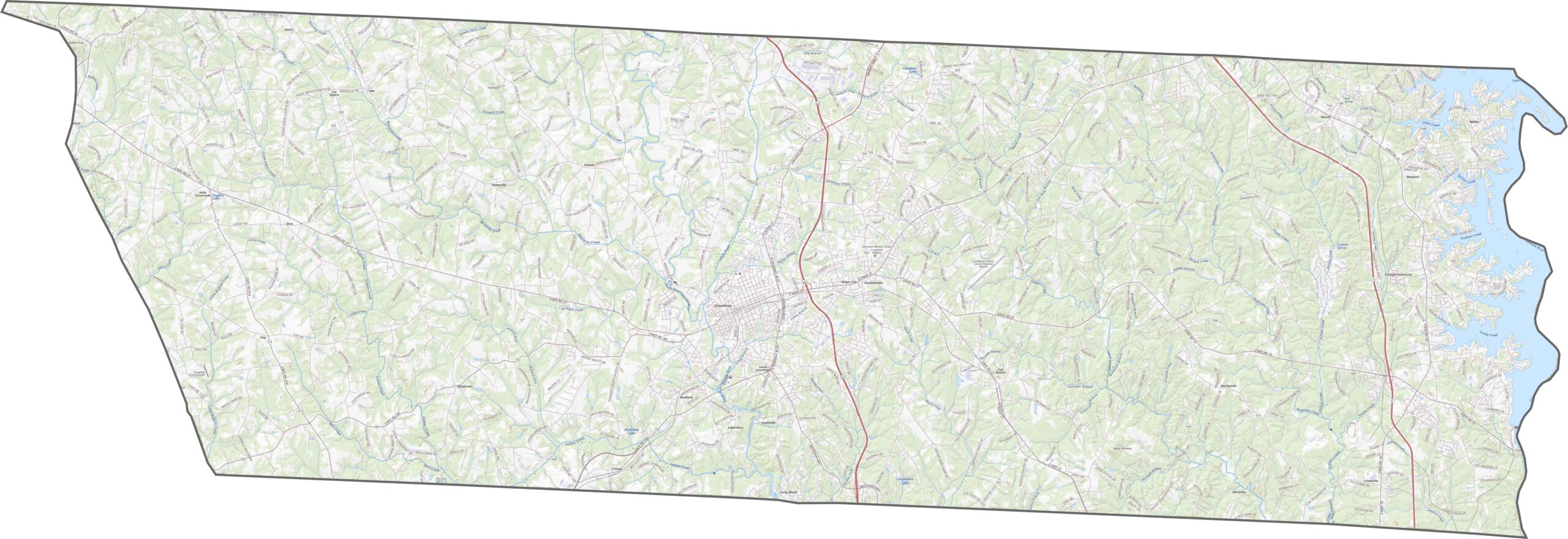
Growth has pulled new roads across old farmland. U.S. Route 321 cuts north to south, while NC 27 runs east-west across the center. Roads here have fewer lanes, but they'll get you where you're going. Try our zoom tool in our road map below.
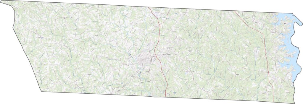
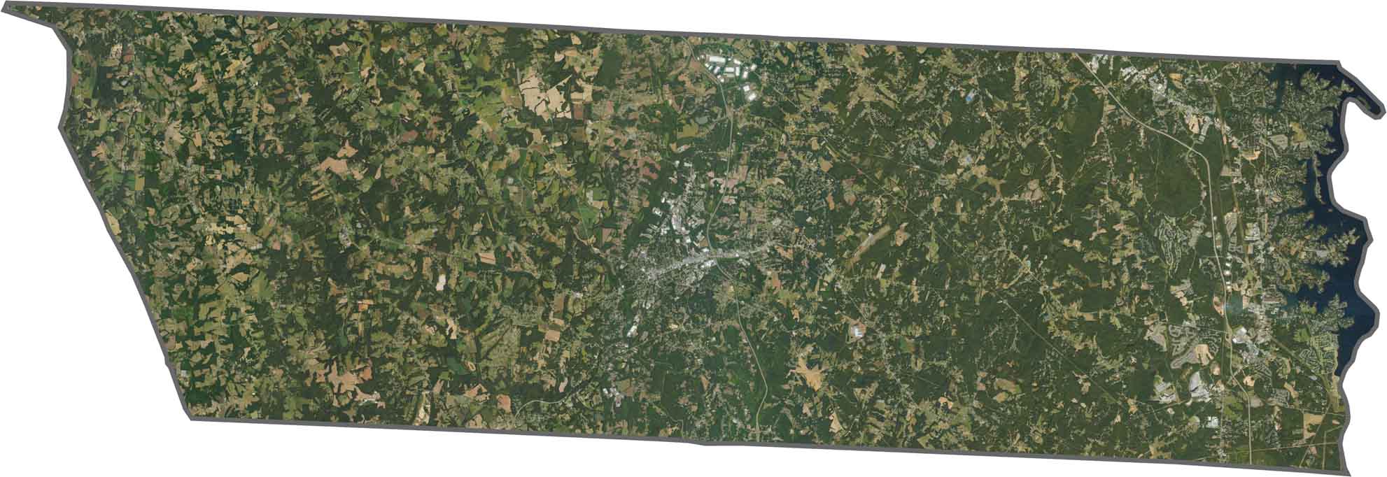
Lincolnton is the main gray patch. Outside the city, farmland and woods dominate. The eastern side is mainly Lake Norman, which covers part of the border. Even though development is creeping in, most of the county stays green.
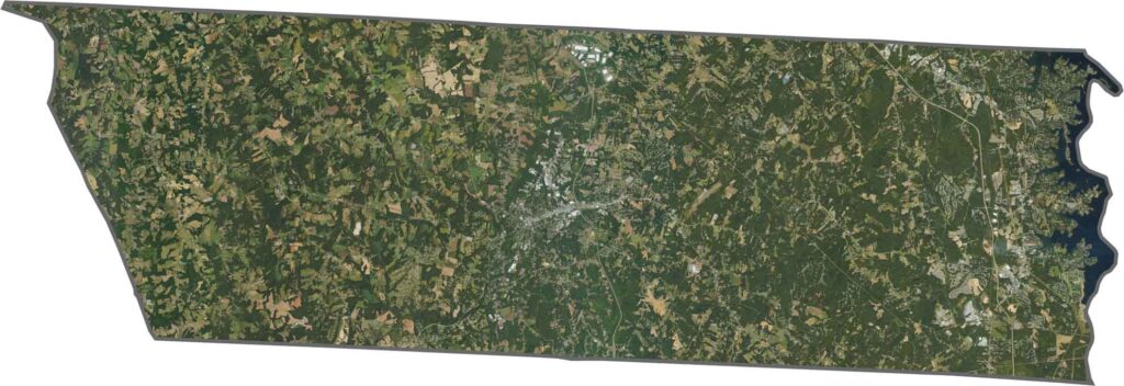
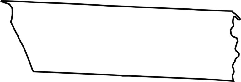
Lincoln County has a short, wide shape, almost like a sideways rectangle with a squiggly east boundary. Lake Norman helps shape that edge, curving around the county line. Clean, simple borders with just enough curve to be interesting.








North Carolina’s 100 counties each have their own personality. Some embrace beach life, while others are known for barbecue or bluegrass. Sometimes, you’ll find all three in one place. Across the state, there are waterfalls, farmland, and NASCAR.