
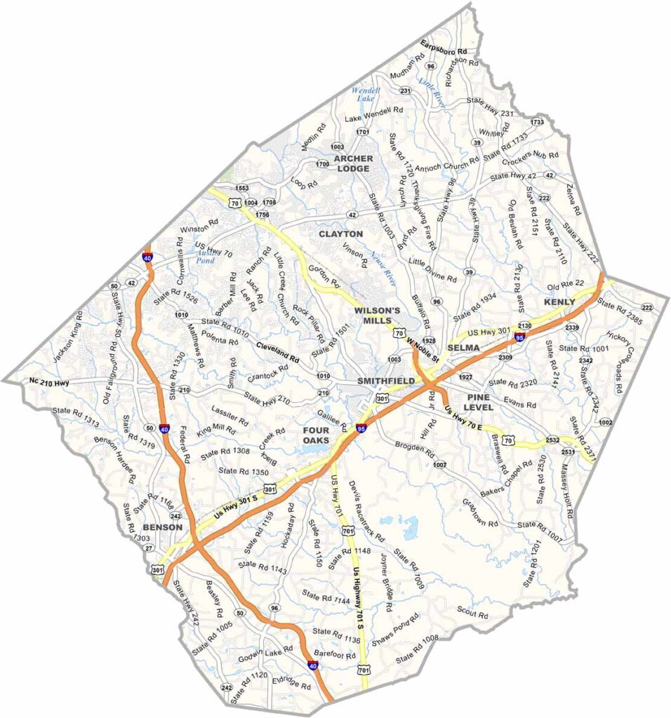
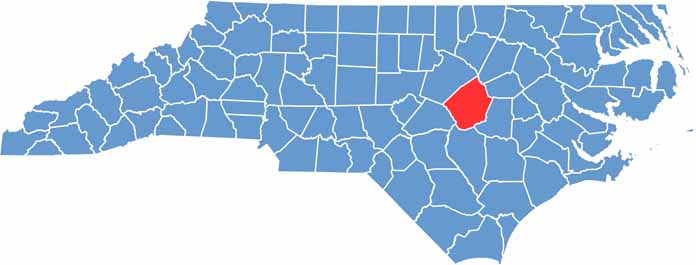
Johnston County sits in the east-central part of North Carolina. The county has deep agricultural roots, with tobacco and sweet potatoes being major crops.
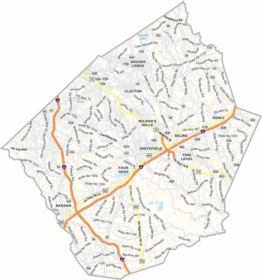
Interstate 95 and Interstate 40 run right through it, making travel a breeze. You'll find a mix of old and new here, as historic downtown Clayton contrasts with modern subdivisions popping up left and right.
The Neuse River has spots for fishing and kayaking. Ava Gardner, the Hollywood legend, was born here, and there's a museum dedicated to her in Smithfield. Smithfield, the county seat, is famous for its outlet shopping.
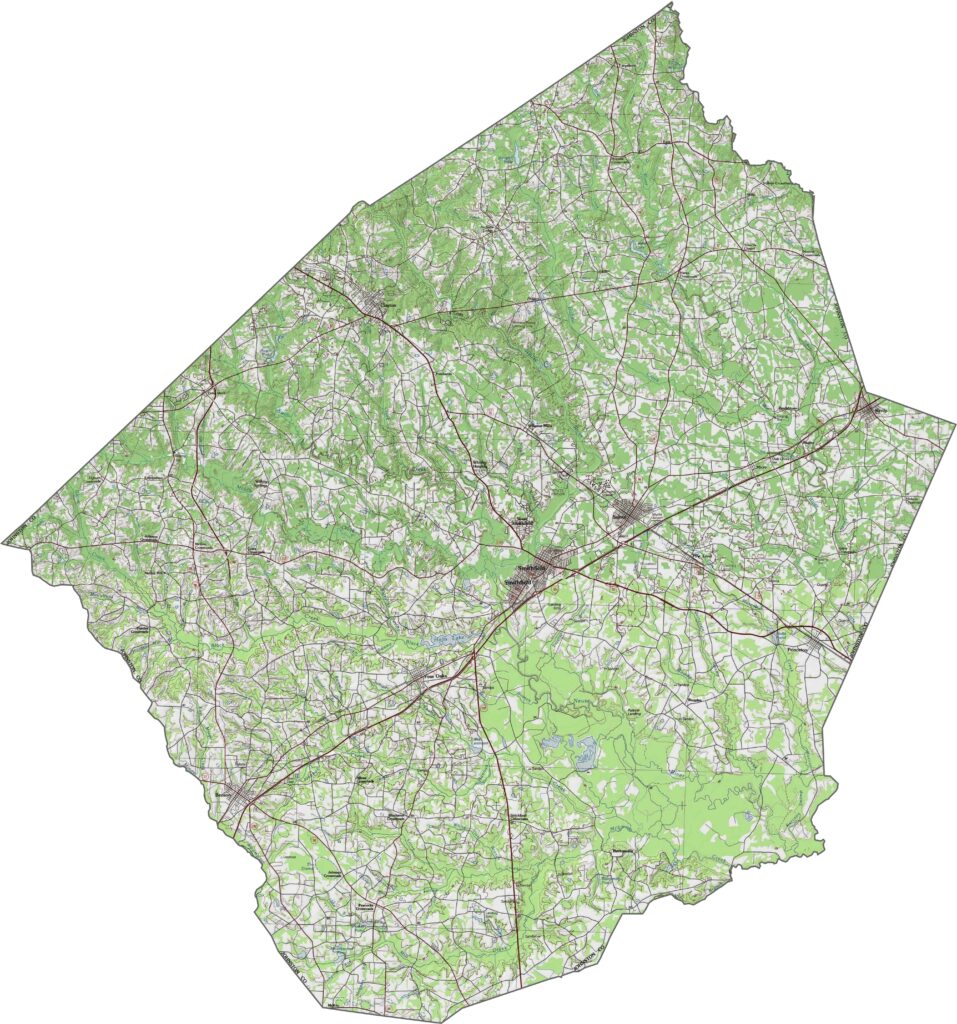
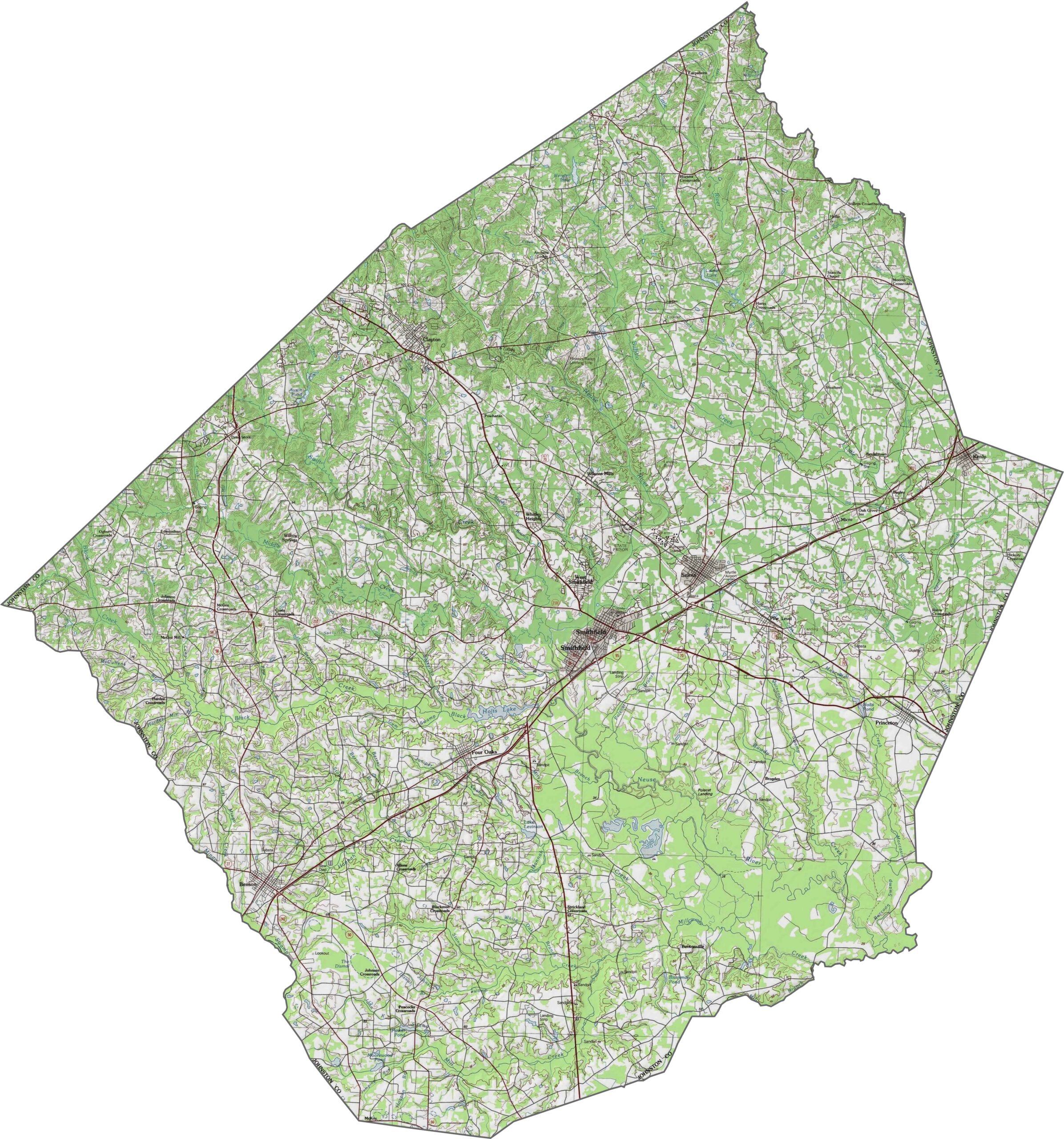
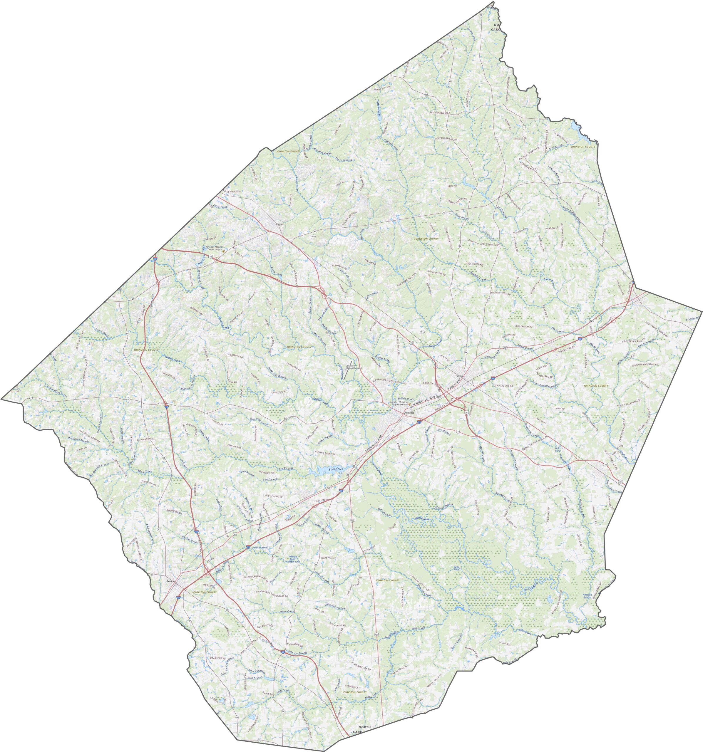
Johnston County is mostly flat, but not entirely. The land dips around the Neuse River and flattens again toward the southeast. It's classic coastal plain, which makes it easy to build on and easy to farm. For full clarity, zoom in on our detailed topographic map below.
Raleigh's spillover has filled this county with fast-growing routes. Interstate 95 cuts through east-west, while Interstate 40 shoots diagonally through the middle. U.S. Route 70 follows a more winding route, touching Clayton, Smithfield, and beyond. Even though it's still rural in places, the roads are built for speed.
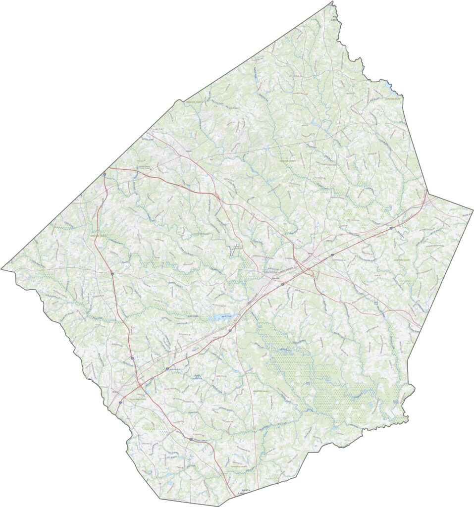
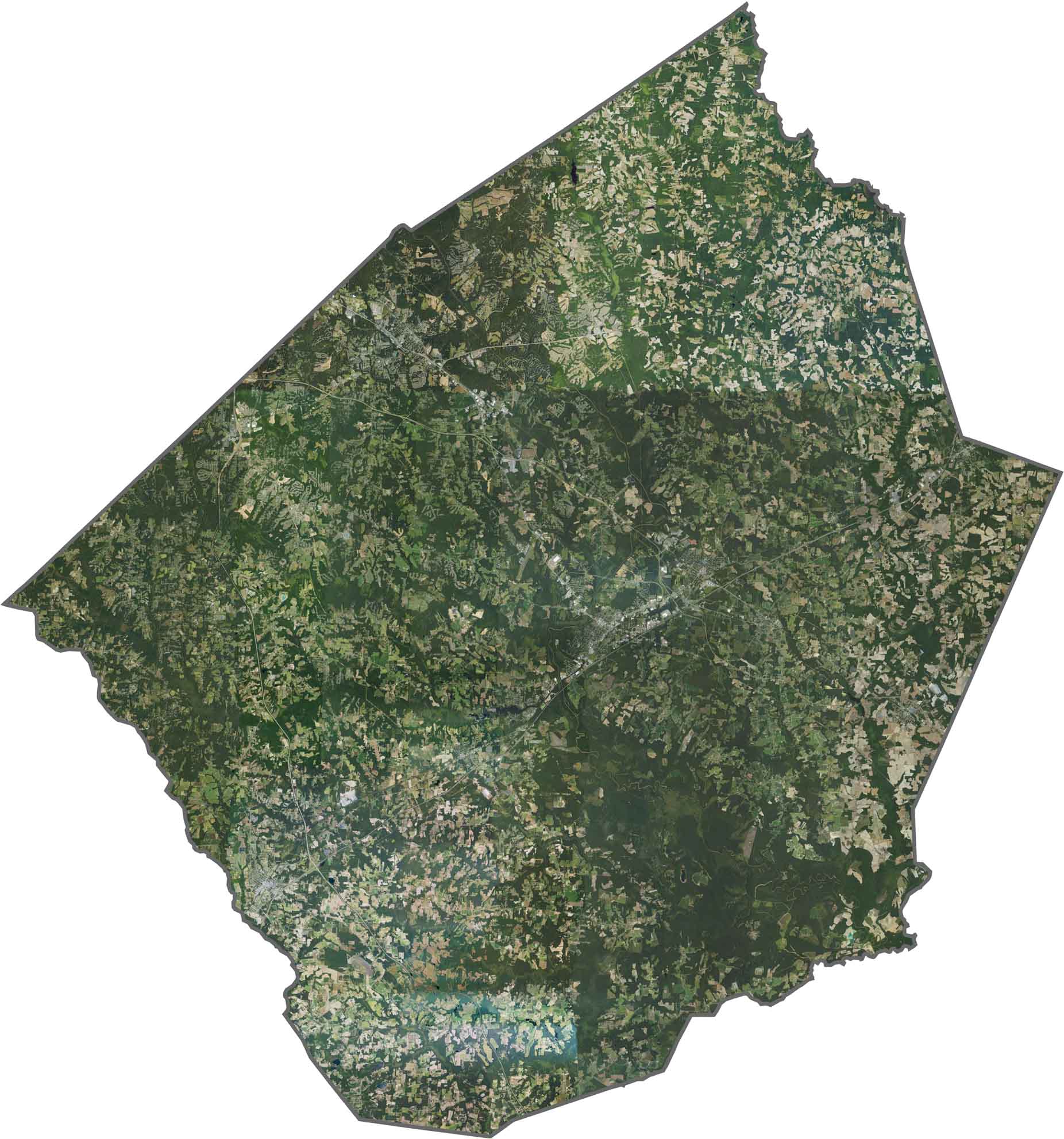
Subdivisions sprawl around Clayton, and Smithfield stands out near Interstate 95. But most of the county stays open with fields, woods, and wetlands. Patches of dark green stretch between the towns, still holding their ground.
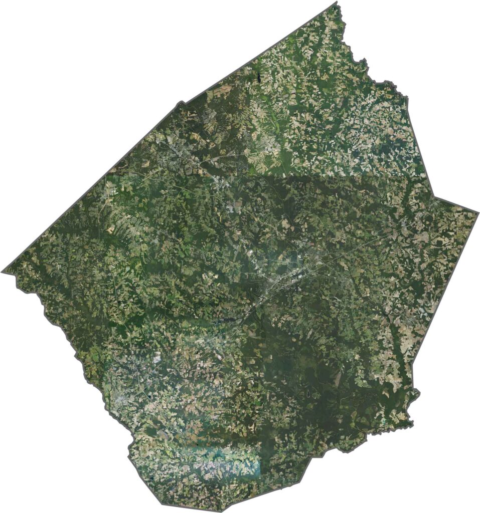
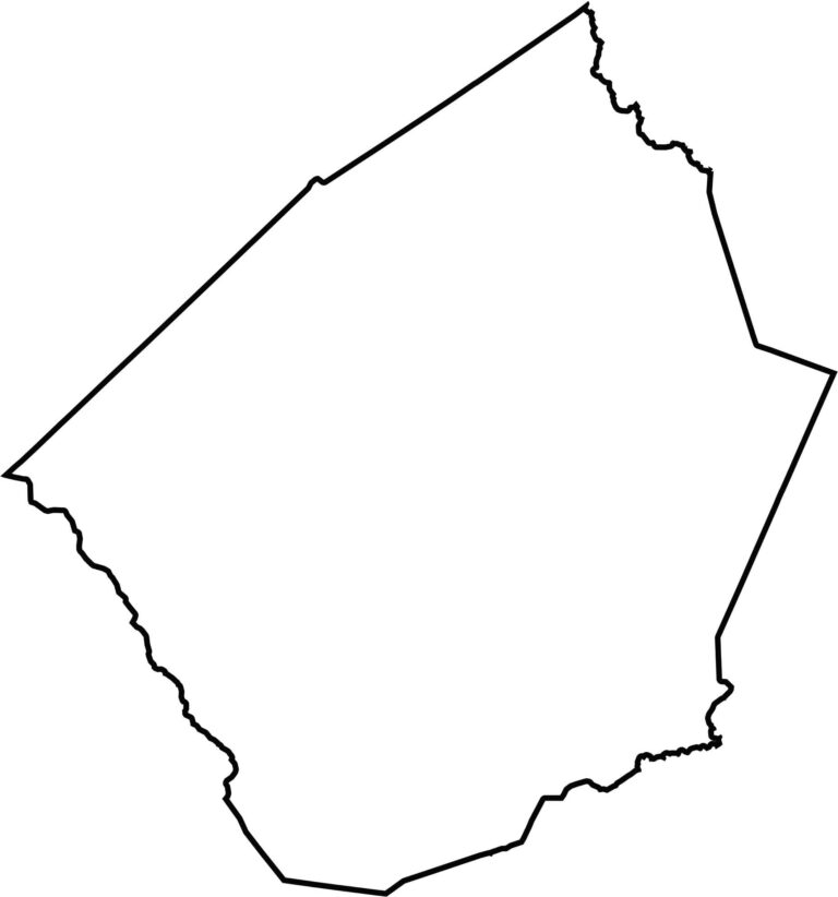
Johnston County has a mostly jagged shape with a few bumps and curves. It touches seven other counties, but not another state.








North Carolina’s 100 counties each have their own personality. Some embrace beach life, while others are known for barbecue or bluegrass. Sometimes, you’ll find all three in one place. Across the state, there are waterfalls, farmland, and NASCAR.