
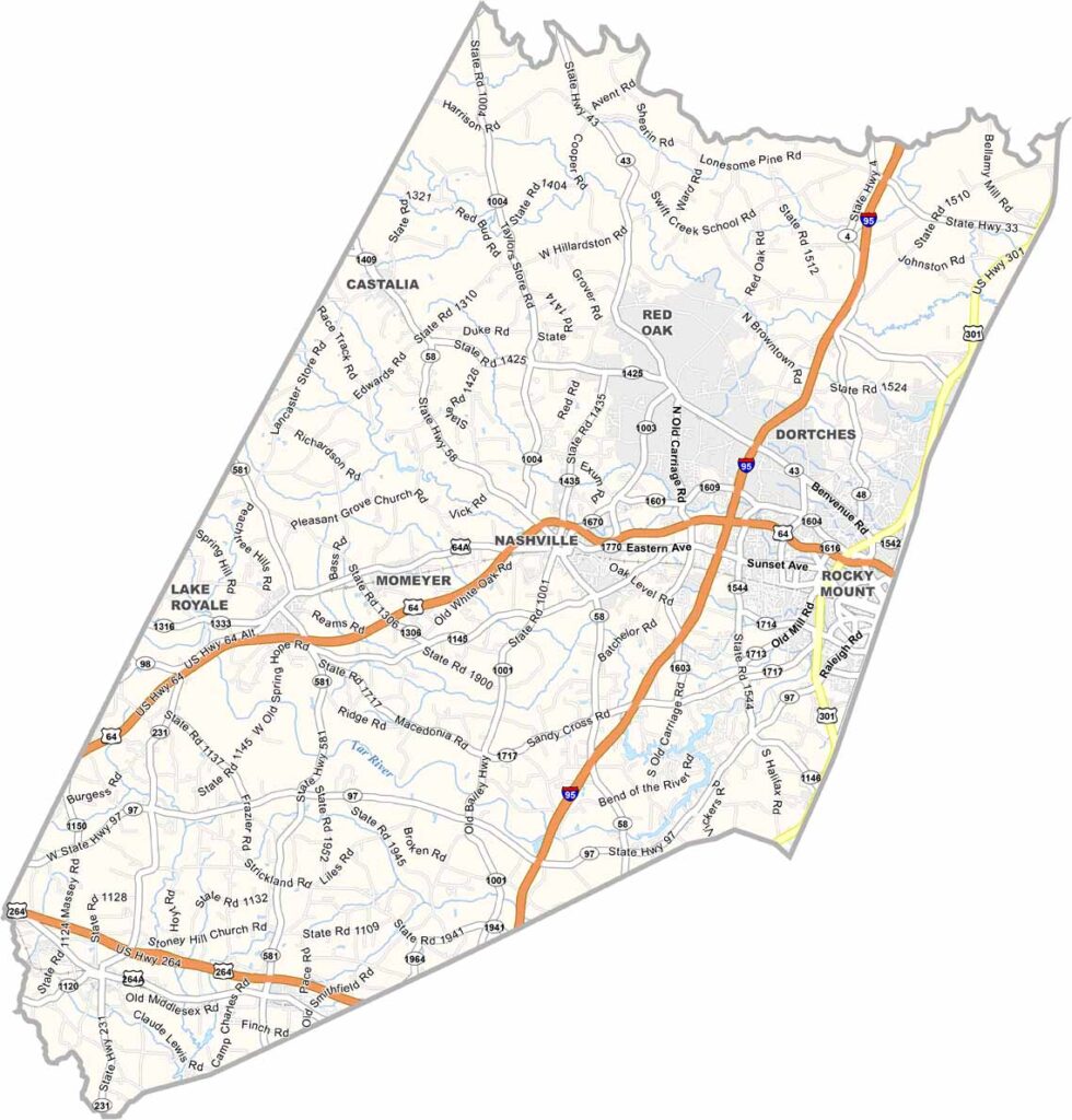
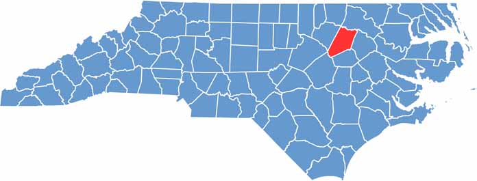
Nash County stretches across the upper coastal plain of eastern North Carolina. Agriculture mostly drives the local economy here.
Tobacco was once king here, but times have changed. Now you'll see fields of sweet potatoes and soybeans. Spring Hope hosts a popular pumpkin festival each fall.
The county has deep musical roots in blues and jazz, and the area is also known for its barbecue joints. Locals cool off in the Tar River Reservoir during summer. Nash County has a growing urban vibe.
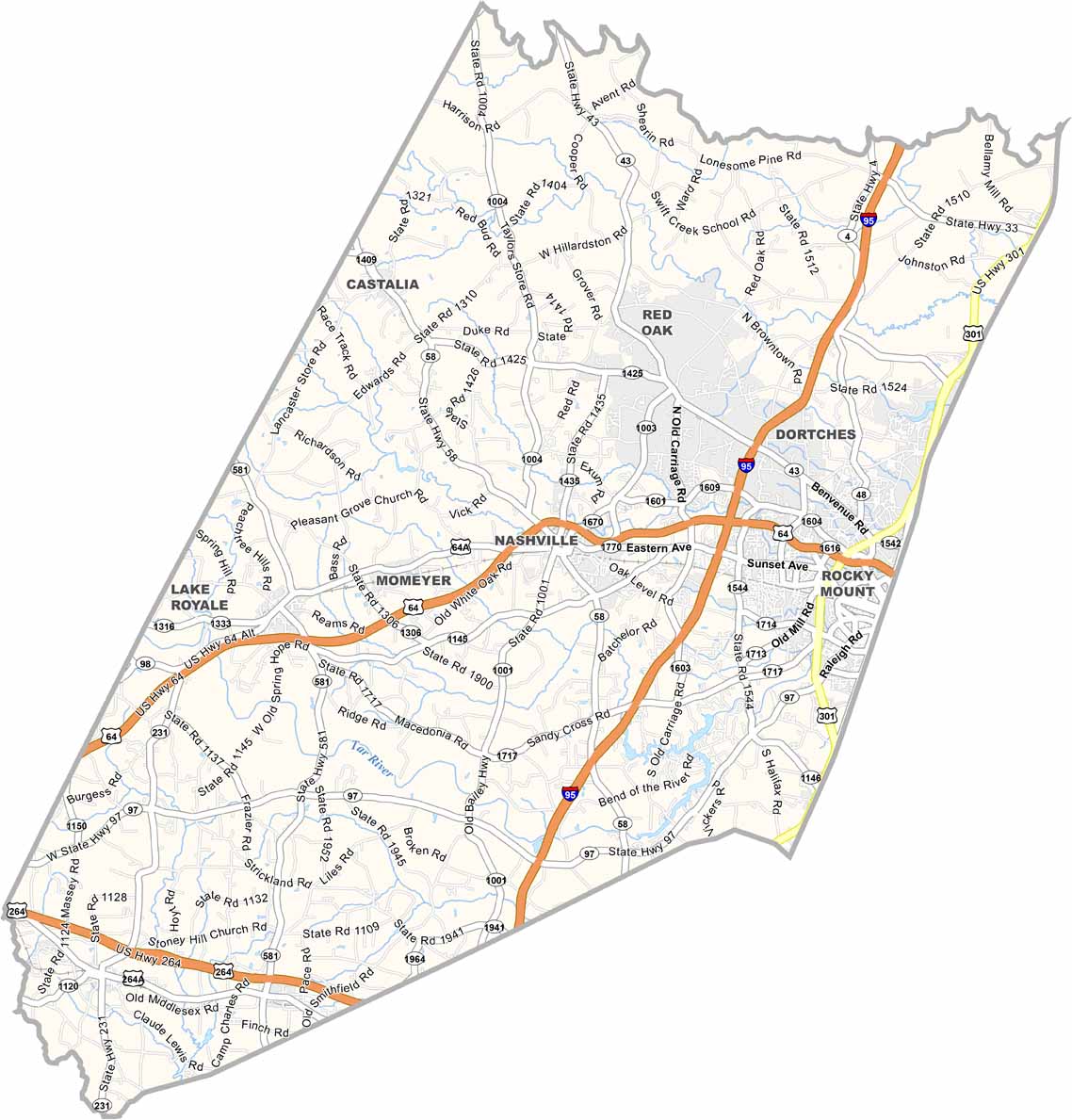
East-west and north-south traffic cross neatly near Rocky Mount. Interstate 95 runs straight down the eastern side, while U.S. Route 64 cuts east-west, crossing right through Nashville and Rocky Mount. Want a closer look? Use our zoom tool on our road map below.
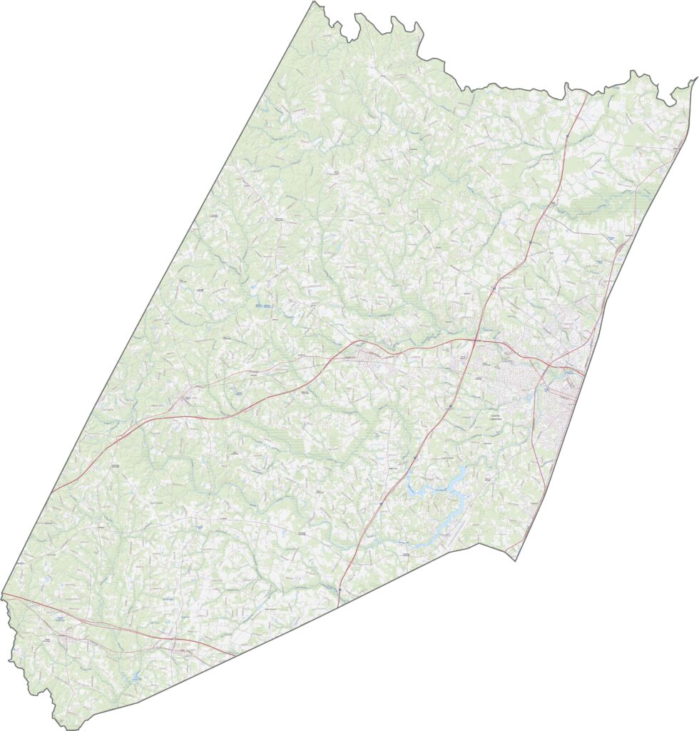
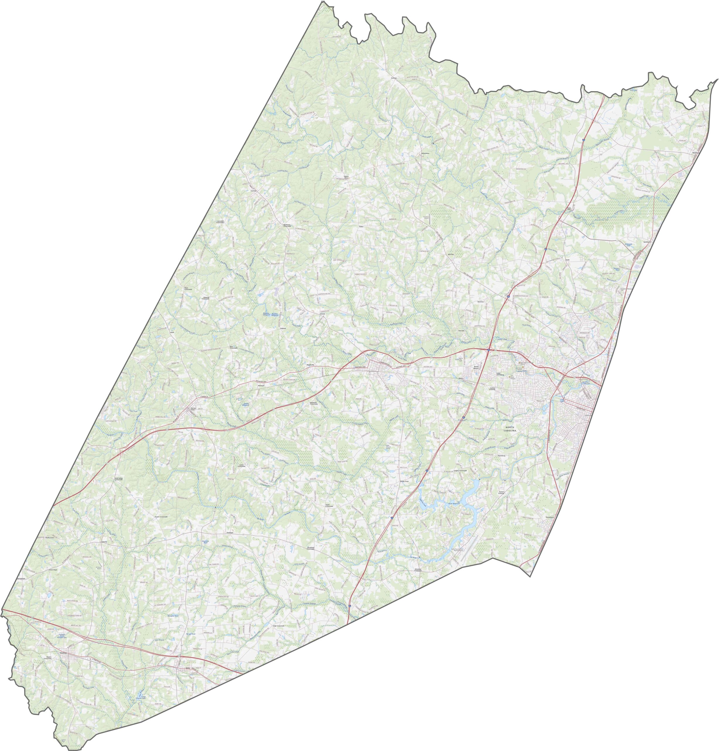
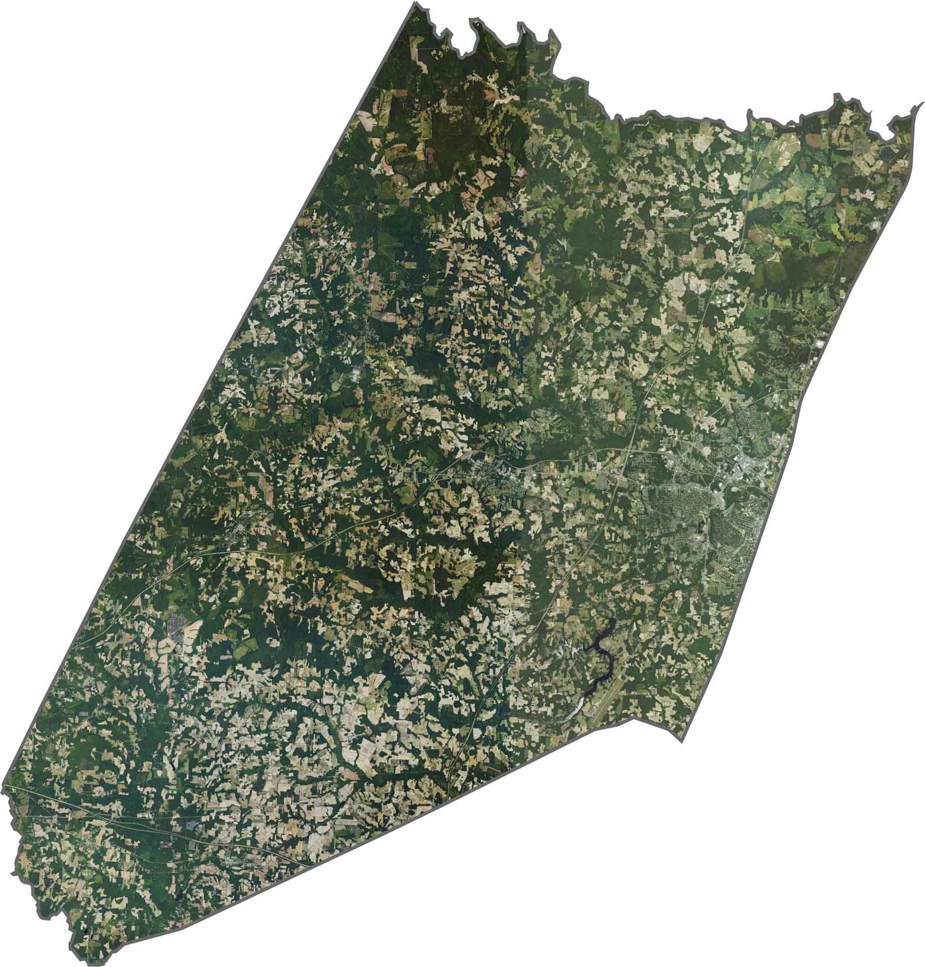
Rocky Mount spreads across the southeast in gray. Outside the city, fields and tree lines take over, some open and others dense. The Tar River winds across the bottom. From above, the balance between rural and urban is easy to spot.
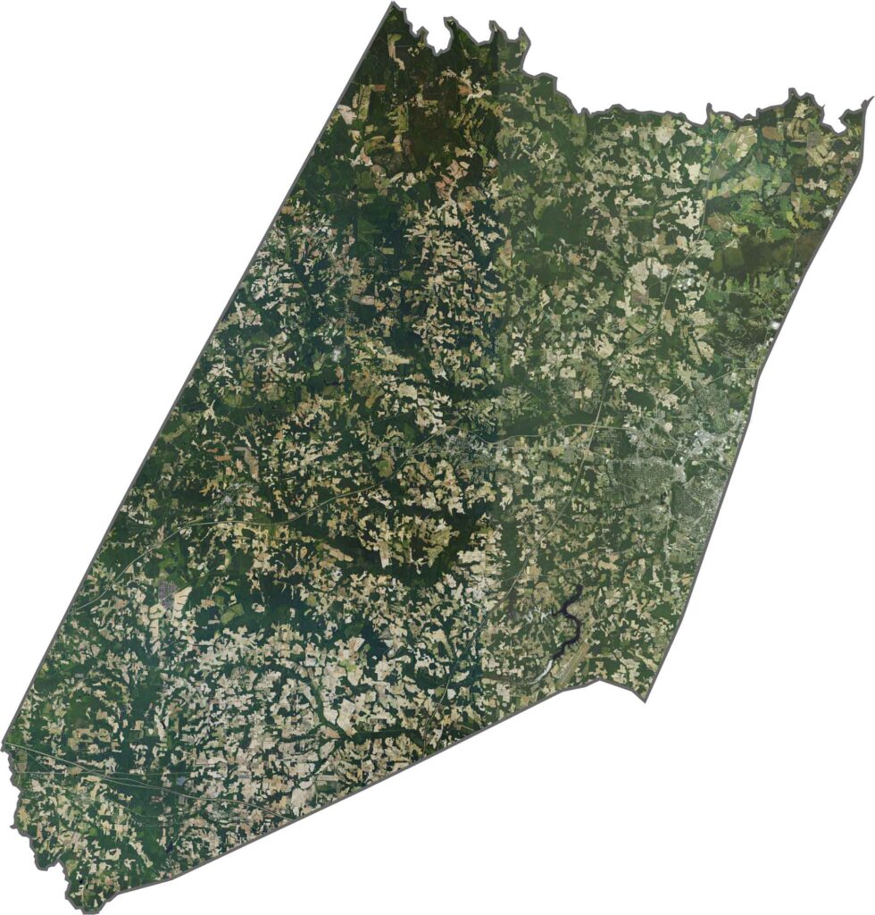
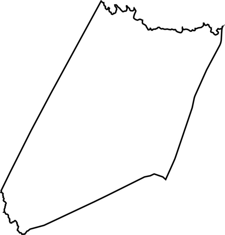
Nash County is shaped like a boot missing its heel. While Moccasin Creek forms part of the south border, Fishing Creek winds around the northern border.








North Carolina’s 100 counties each have their own personality. Some embrace beach life, while others are known for barbecue or bluegrass. Sometimes, you’ll find all three in one place. Across the state, there are waterfalls, farmland, and NASCAR.