
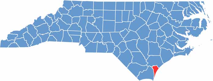
New Hanover County occupies the southeastern corner of North Carolina. Wilmington, the county seat, has a historic district, and film crews often use the area as a backdrop.
Beaches are the main attraction here. Wrightsville Beach, for instance, is popular with surfers and sunbathers, and you can take a river tour to see alligators.
The USS North Carolina battleship draws visitors too. The county has an interesting food scene, with local breweries making a name for themselves. Finally, Airlie Gardens showcases beautiful azaleas in spring.
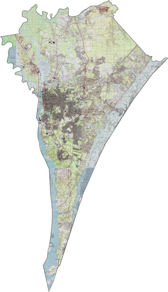
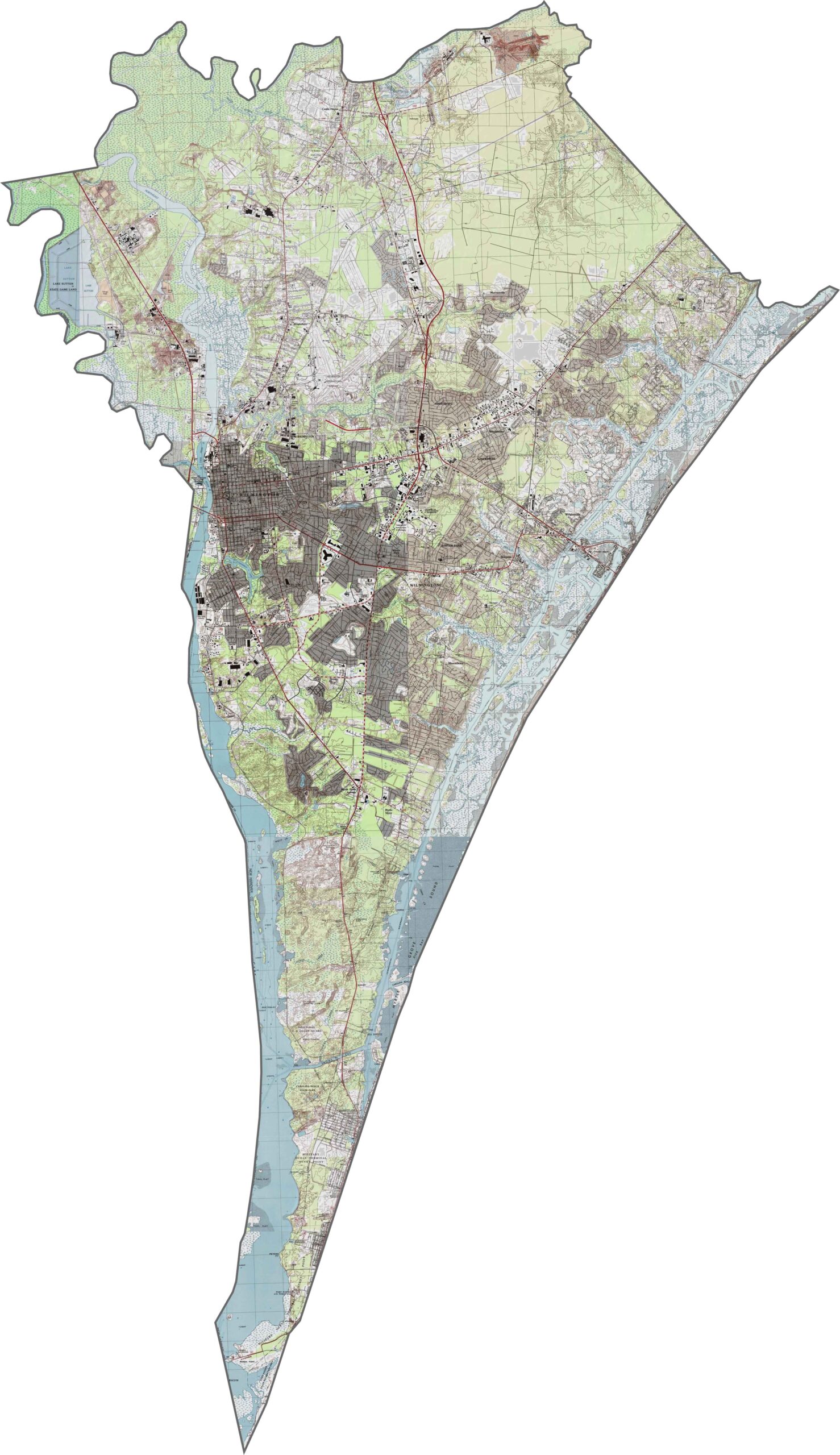
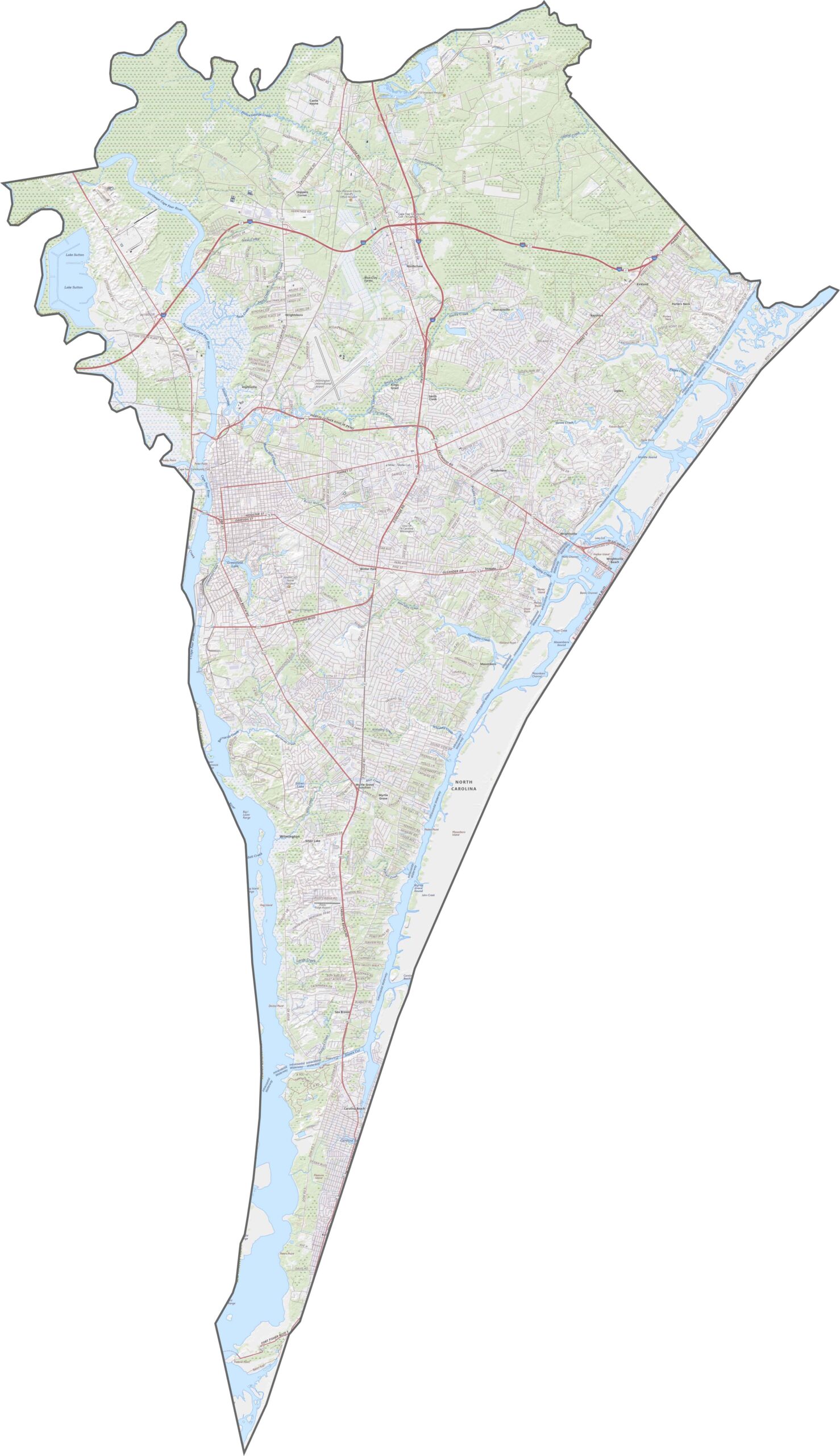
New Hanover County is flat. Really flat. But the presence of riverbanks, marshes, and coastal bluffs keeps it from being dull. You can't miss the water's influence on the land. Still, it's easy to get around, especially if you zoom into the details on our map. This coastal county is small but busy.
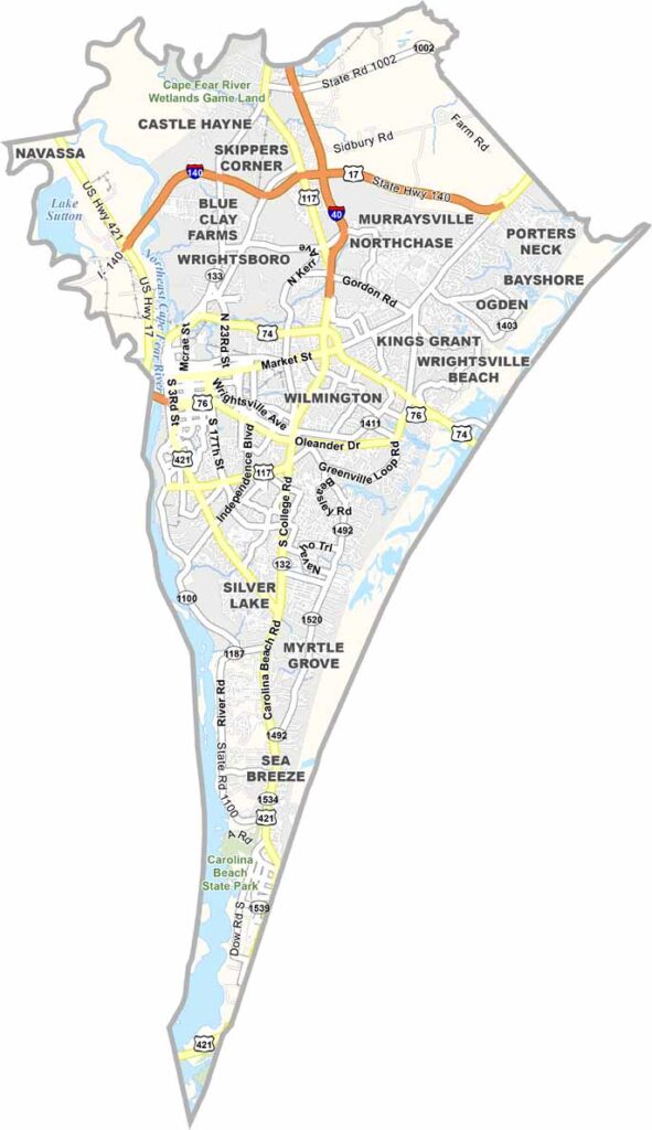
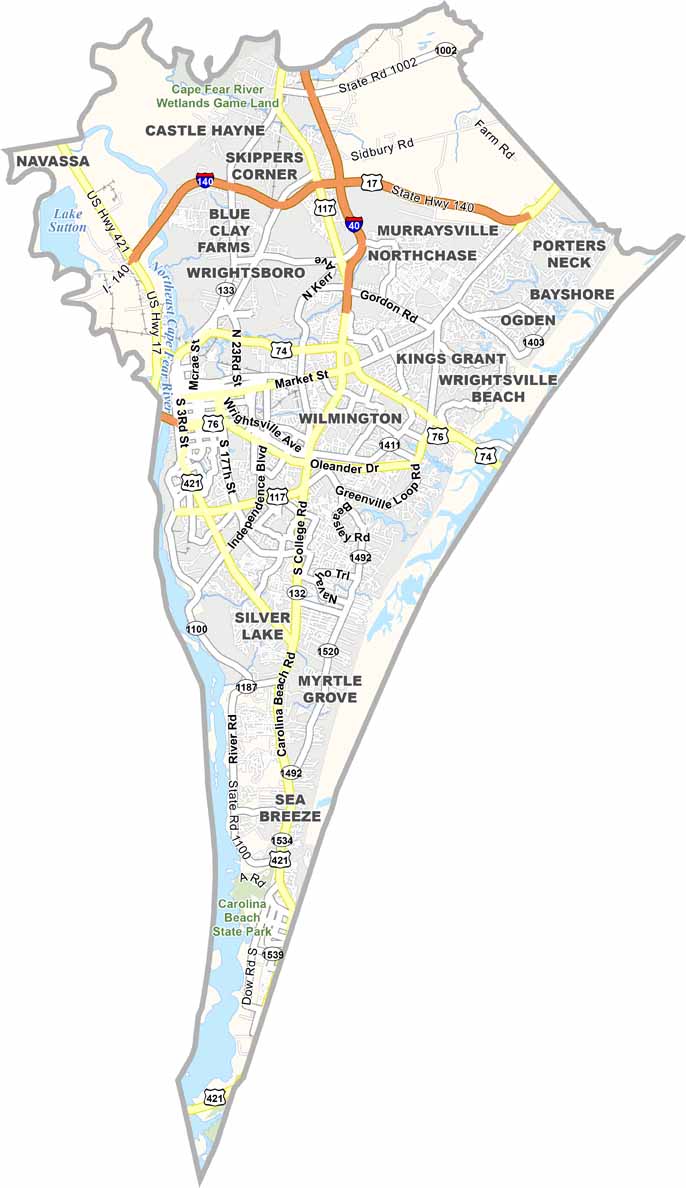
Beach access and bridges rule the coastal road system. U.S. Route 17, U.S. Route 74, and U.S. Route 76 all converge in Wilmington, with bridges crossing the Cape Fear River. Try out our zoom tool below in our road map.
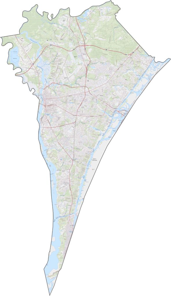
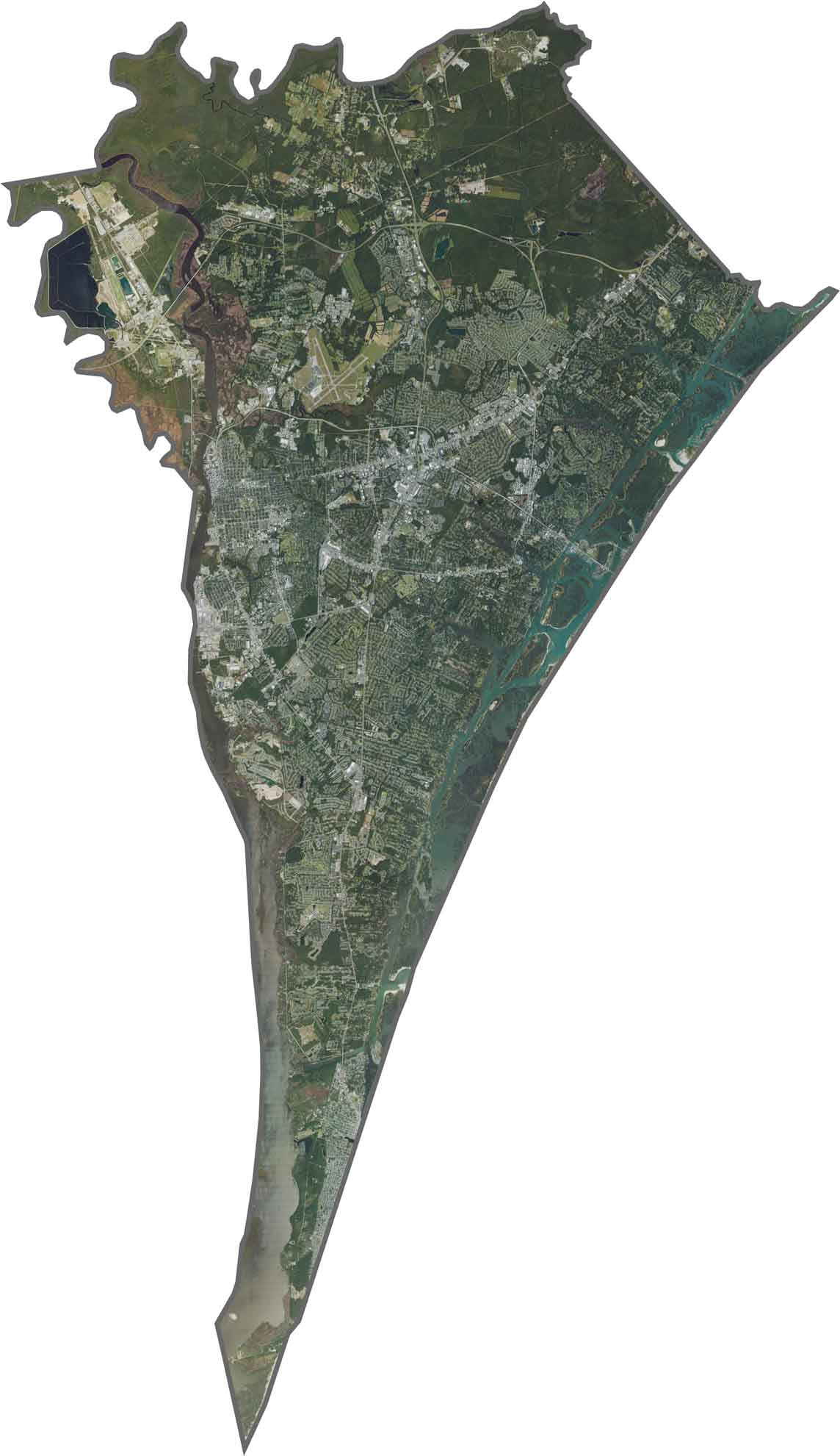
Wilmington dominates the center. It's bright and dense. The Cape Fear River and Intracoastal Waterway show up bold and dark. Although it's packed with development, wetlands and tidal creeks still carve through the scenery.
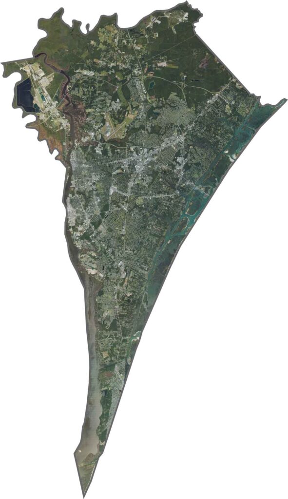
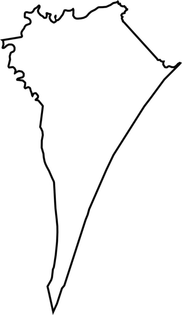
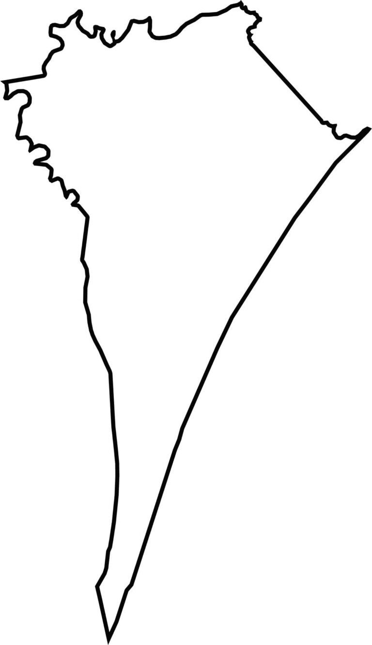
New Hanover County is small and coastal, hugged by the Atlantic Ocean on the east. It's cut by the Cape Fear River on the west. It doesn't border another state, but its watery edges make the shape stand out. It's one of the few counties in the state where land seems to float between rivers and sea.







North Carolina’s 100 counties each have their own personality. Some embrace beach life, while others are known for barbecue or bluegrass. Sometimes, you’ll find all three in one place. Across the state, there are waterfalls, farmland, and NASCAR.