
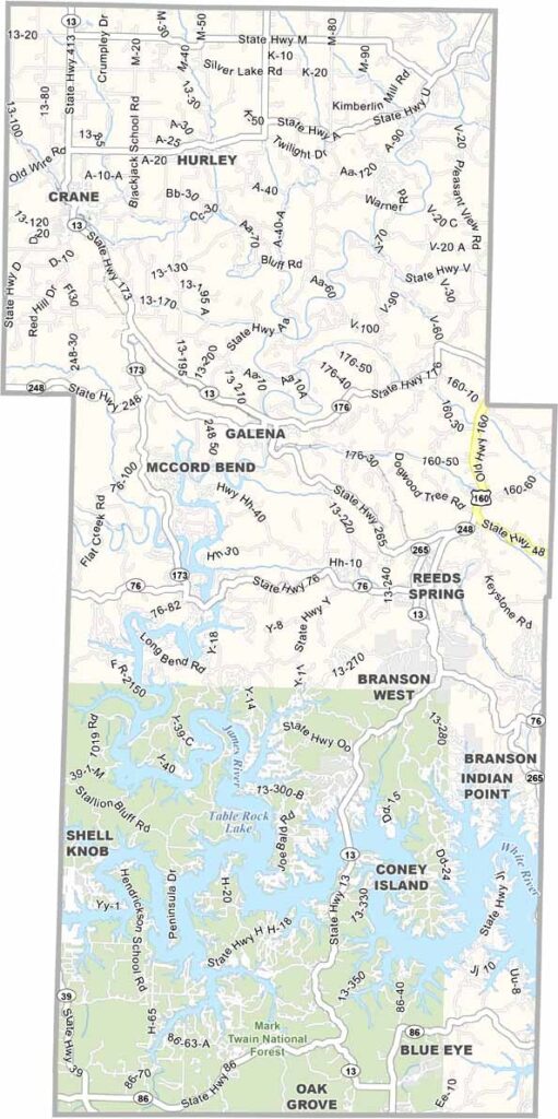
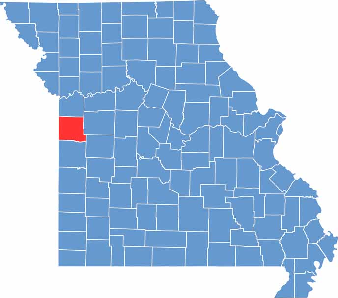
Cass County sits just south of Kansas City. It's named after Lewis Cass, a Michigan senator who never actually set foot here. Funny how that works sometimes.
Harrisonville serves as the county seat, a cozy town with a historic square that's perfect for an afternoon stroll. The county itself is a mix of rolling hills, pristine lakes, and sprawling farmland.
And if you're into trains, you've got to check out the old Rock Island Railroad corridor. It's been converted into a sweet trail that's great for biking or hiking.
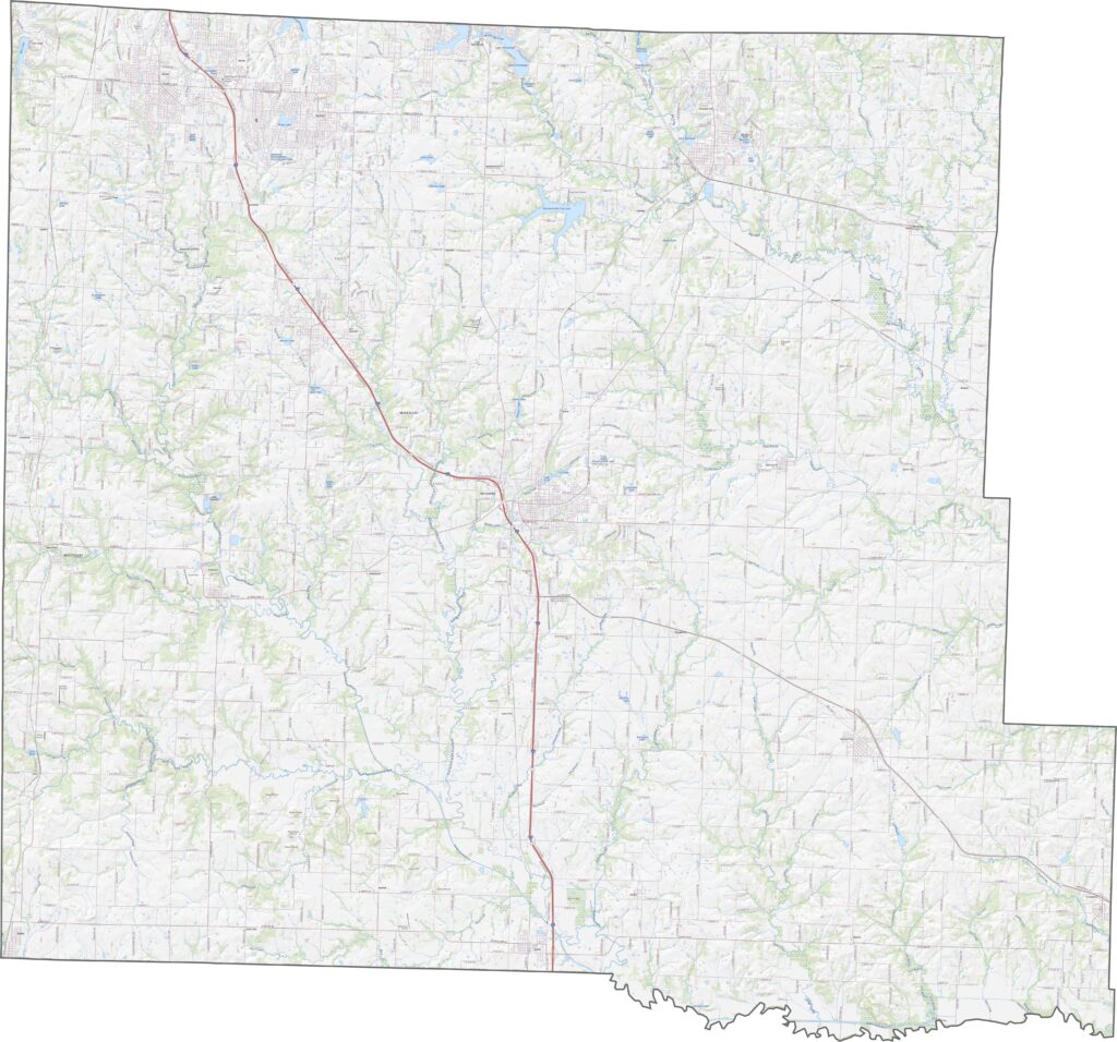
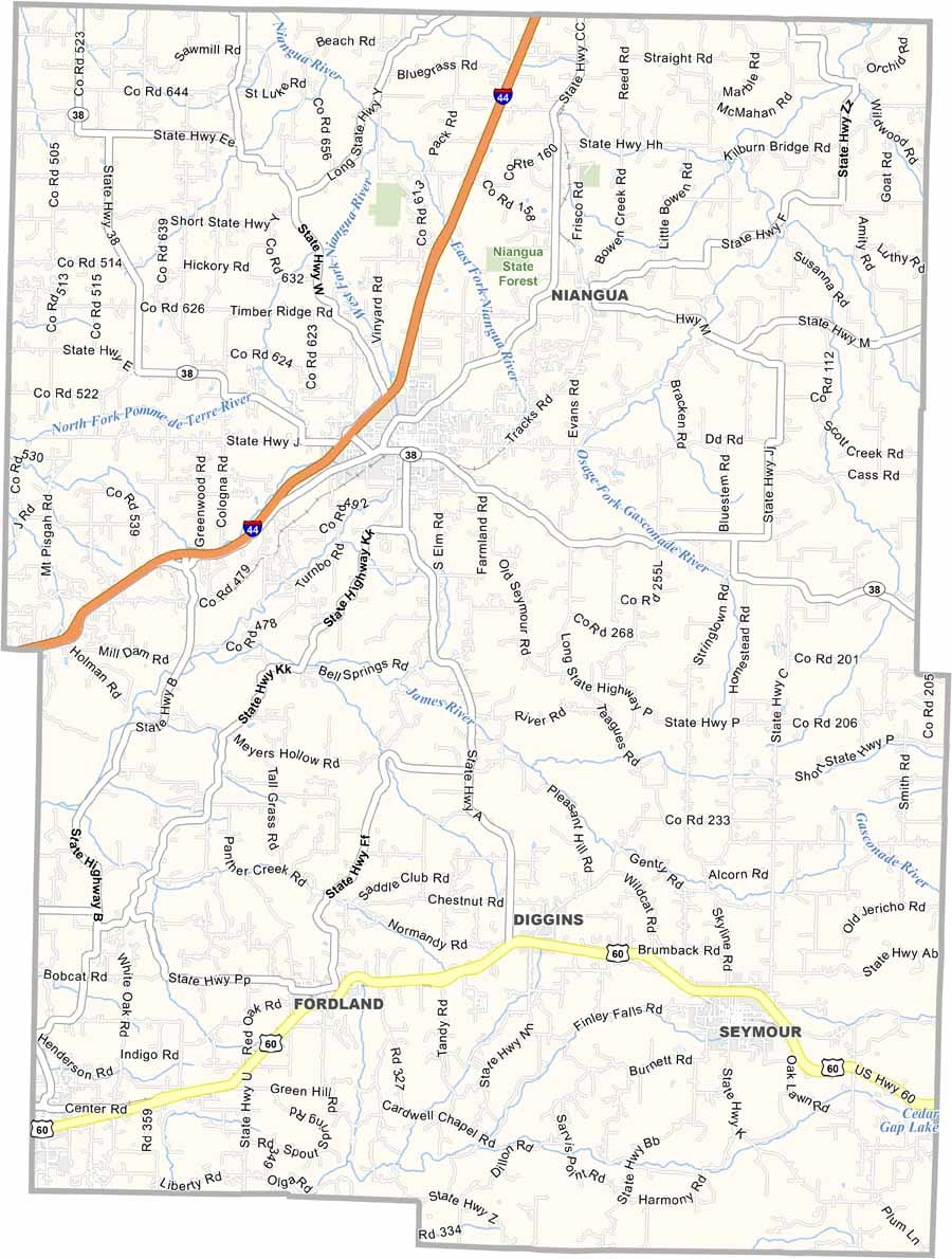
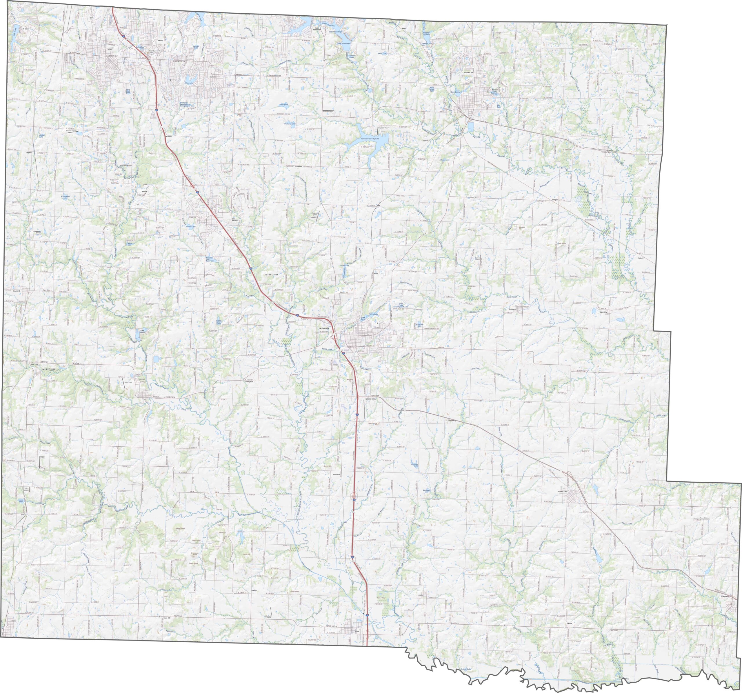
A number of highways and major roads cross Cass County. Open our road map below and use the zoom tool to explore every highway in detail.
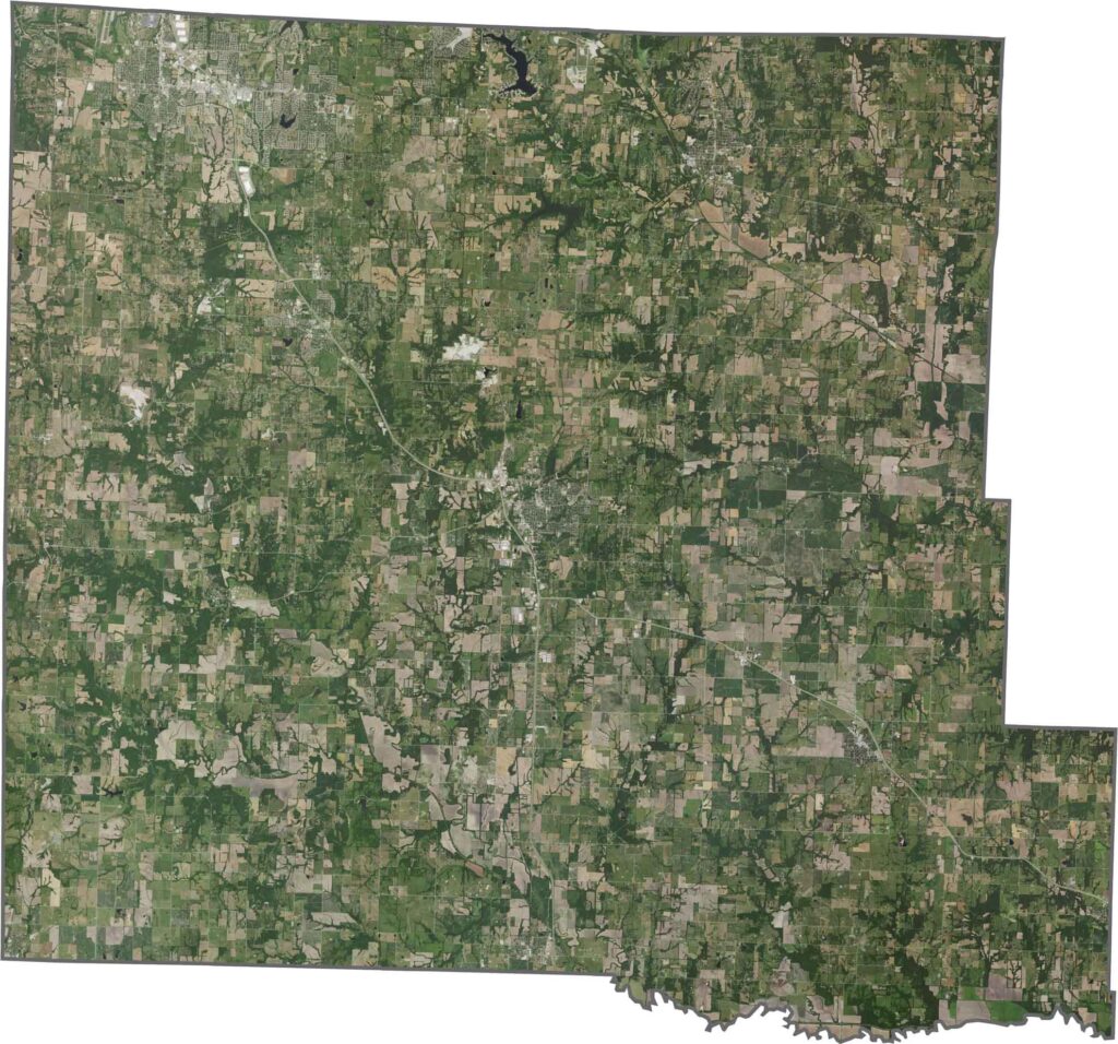
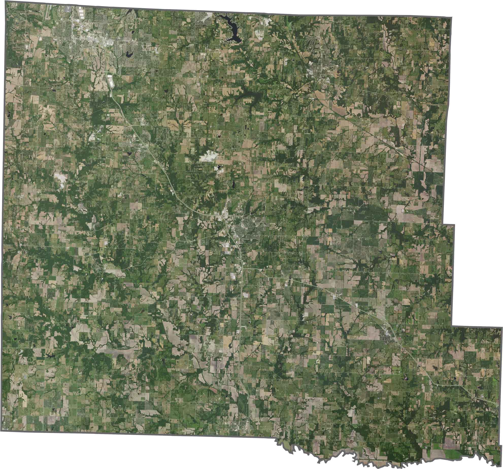
Seen from above, Cass County is a mix of farms, neighborhoods, and open fields. Cropland covers large stretches, particularly in the southern half. Urban development is expanding, but most of the county still has a distinctly rural look.
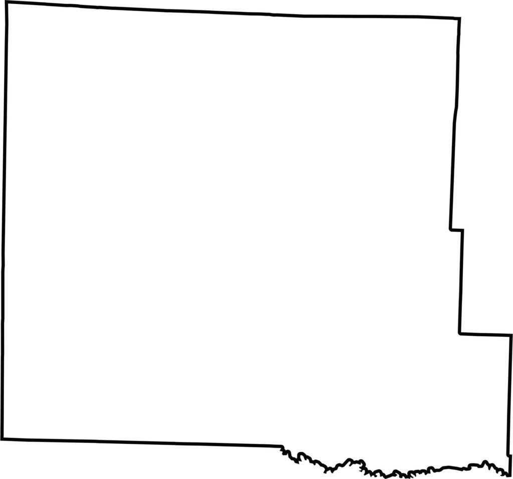
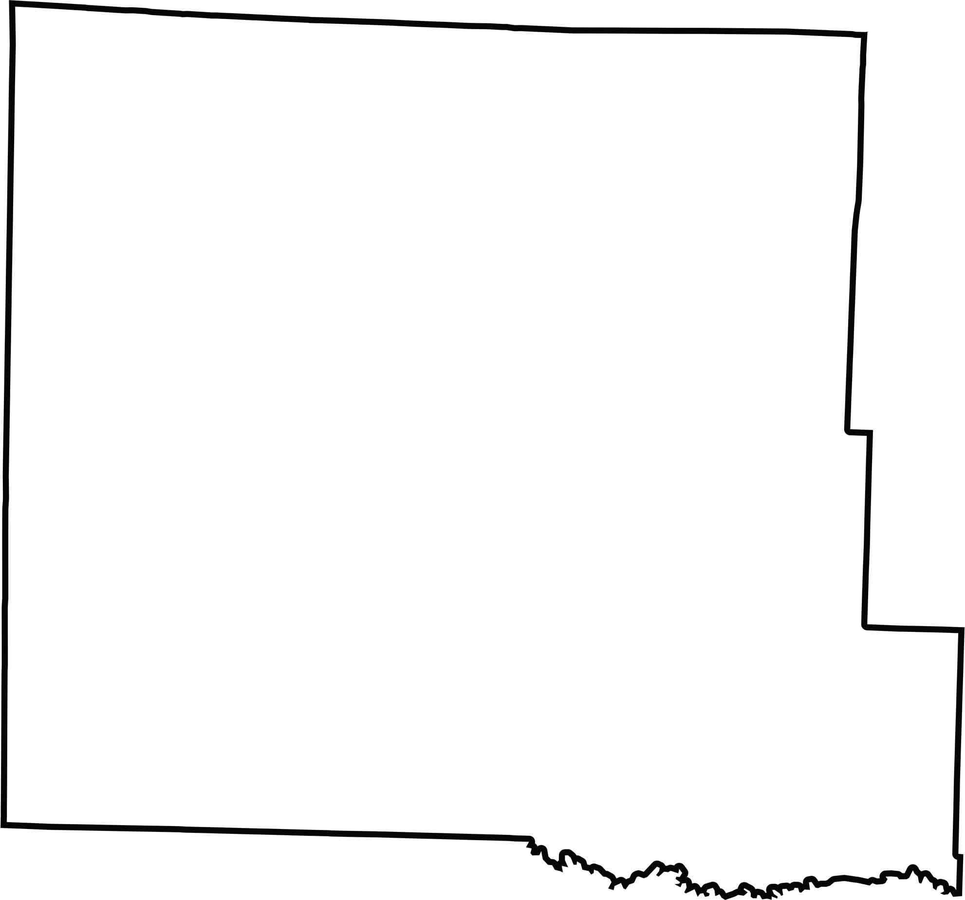
Cass County has a tidy, nearly rectangular outline. It looks simple at first glance, but its southern edge traces the course of the old South Grand River.
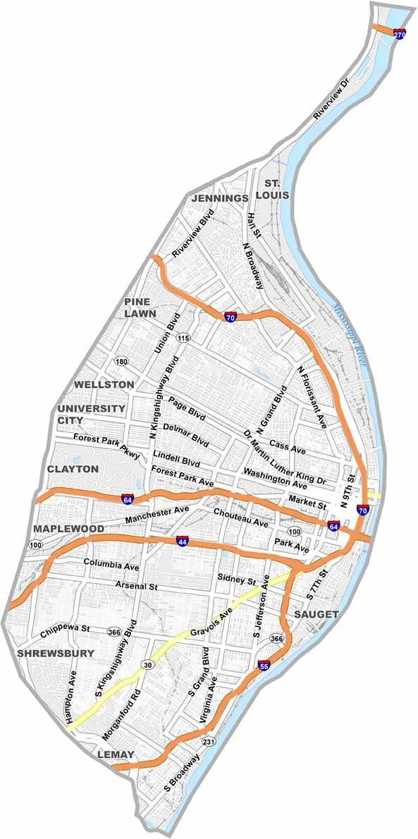
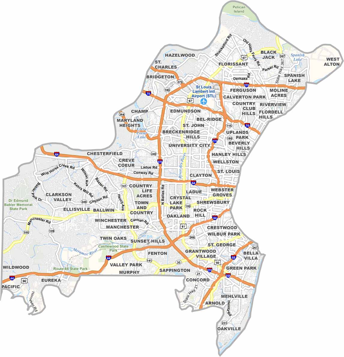
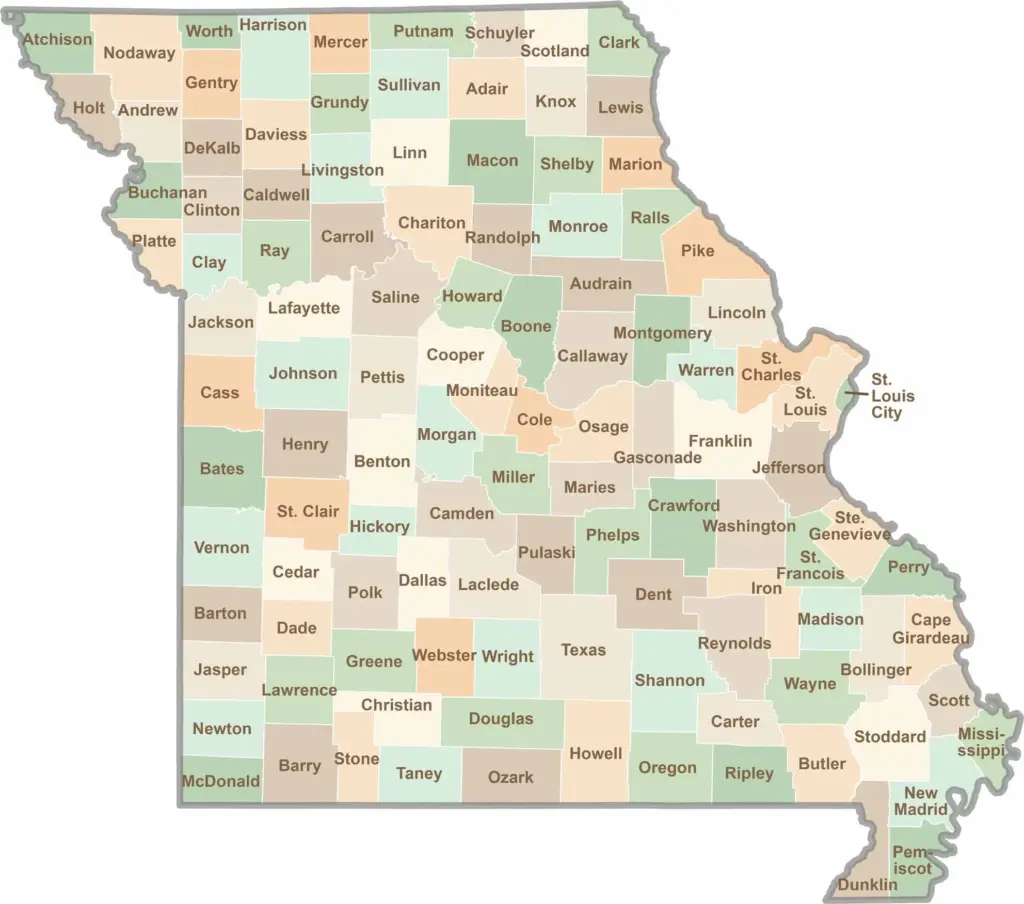
Discover the Show-Me State with our collection of all 114 county maps, your guide to smoky BBQ, Ozark trails, and sunsets over the mighty Mississippi River. From St. Louis to Branson, Missouri has something waiting around every bend in the road.