
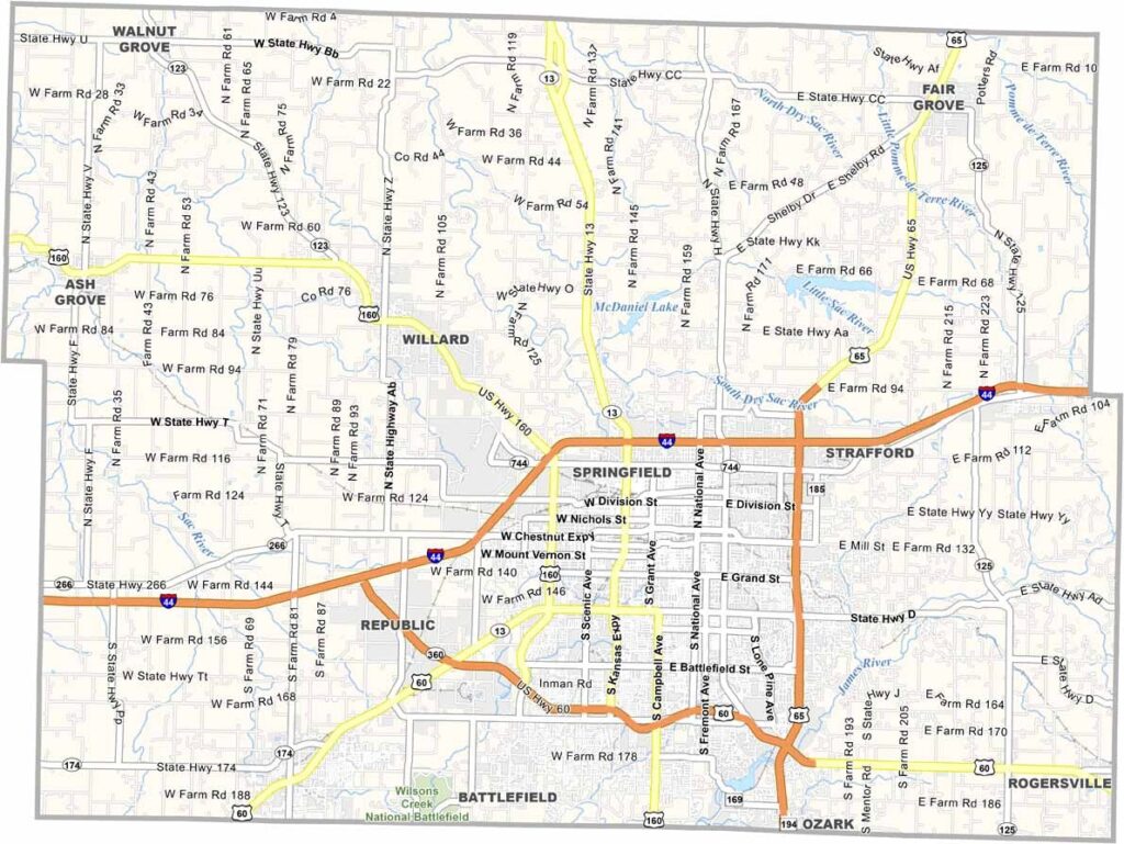
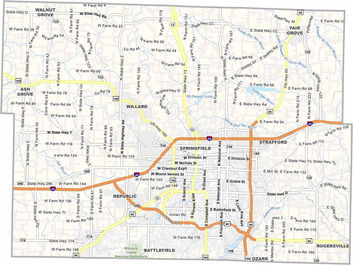
Greene County is home to the third-largest city in the state. That's right, Springfield takes up most of the southern part of the county, basically everything south of I-44.
The county is a blend of urban and rural, and you can go from downtown to farmland in about 15 minutes. Bass Pro Shops got its start here, and it's like Disneyland for outdoorsy types.
The Ozarks are right on the doorstep, with tons of hiking and camping. Missouri State University keeps things lively, so there's always something going on. And let's not forget that Wild Bill Hickok had his famous shootout right on the square.
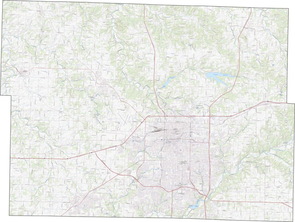
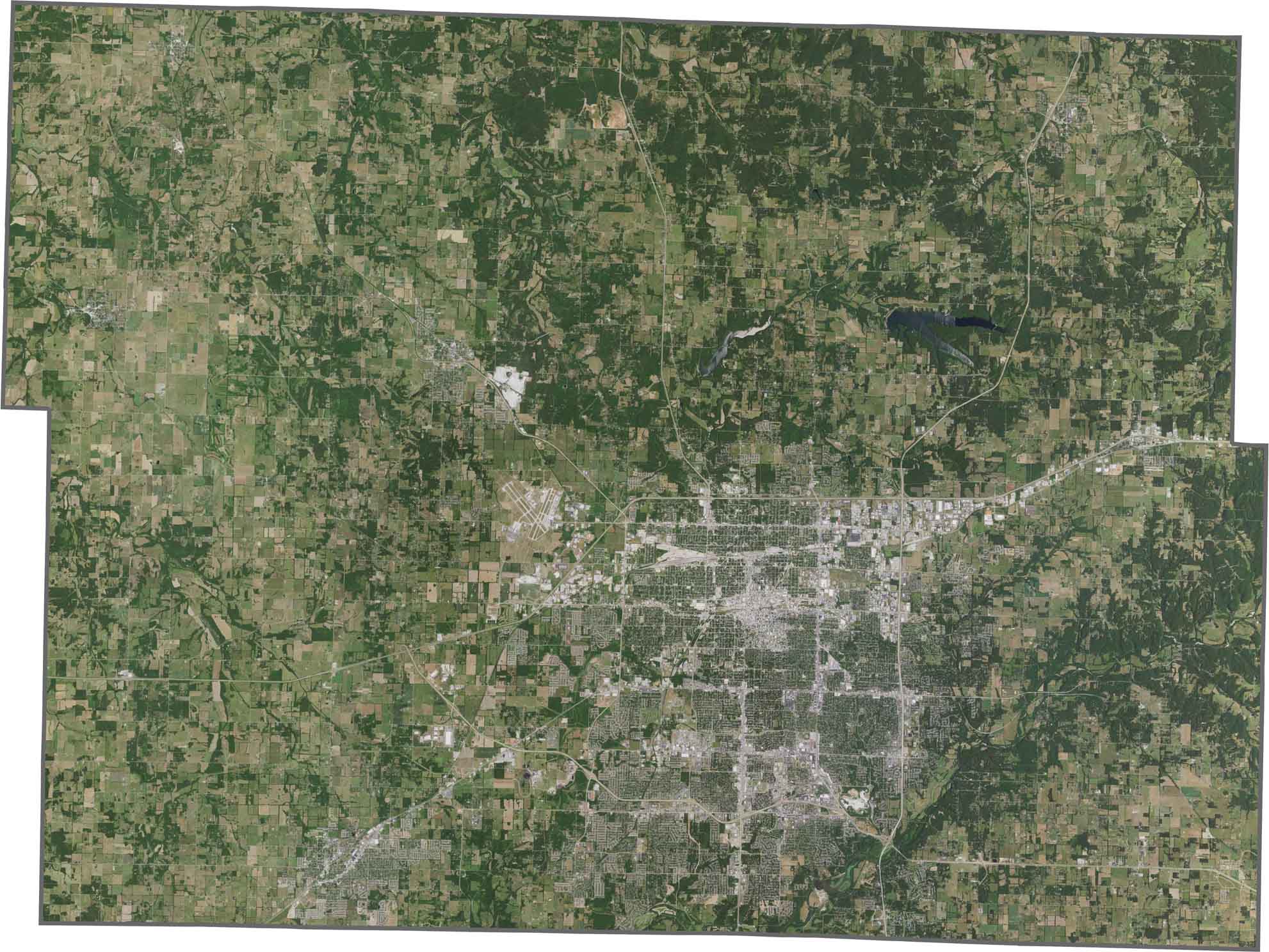
Greene County's roads stay busy, especially around Springfield. Although there's plenty of development near the city, rural Greene County still has long, open stretches of road. Explore the details with the zoom feature on our website.
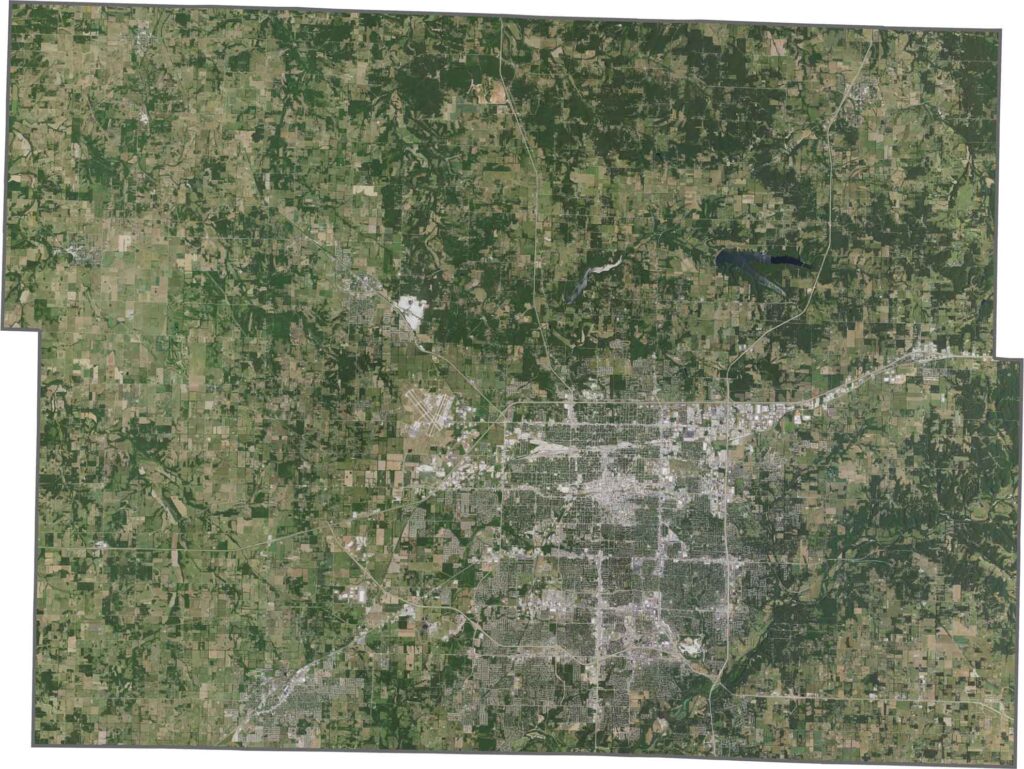
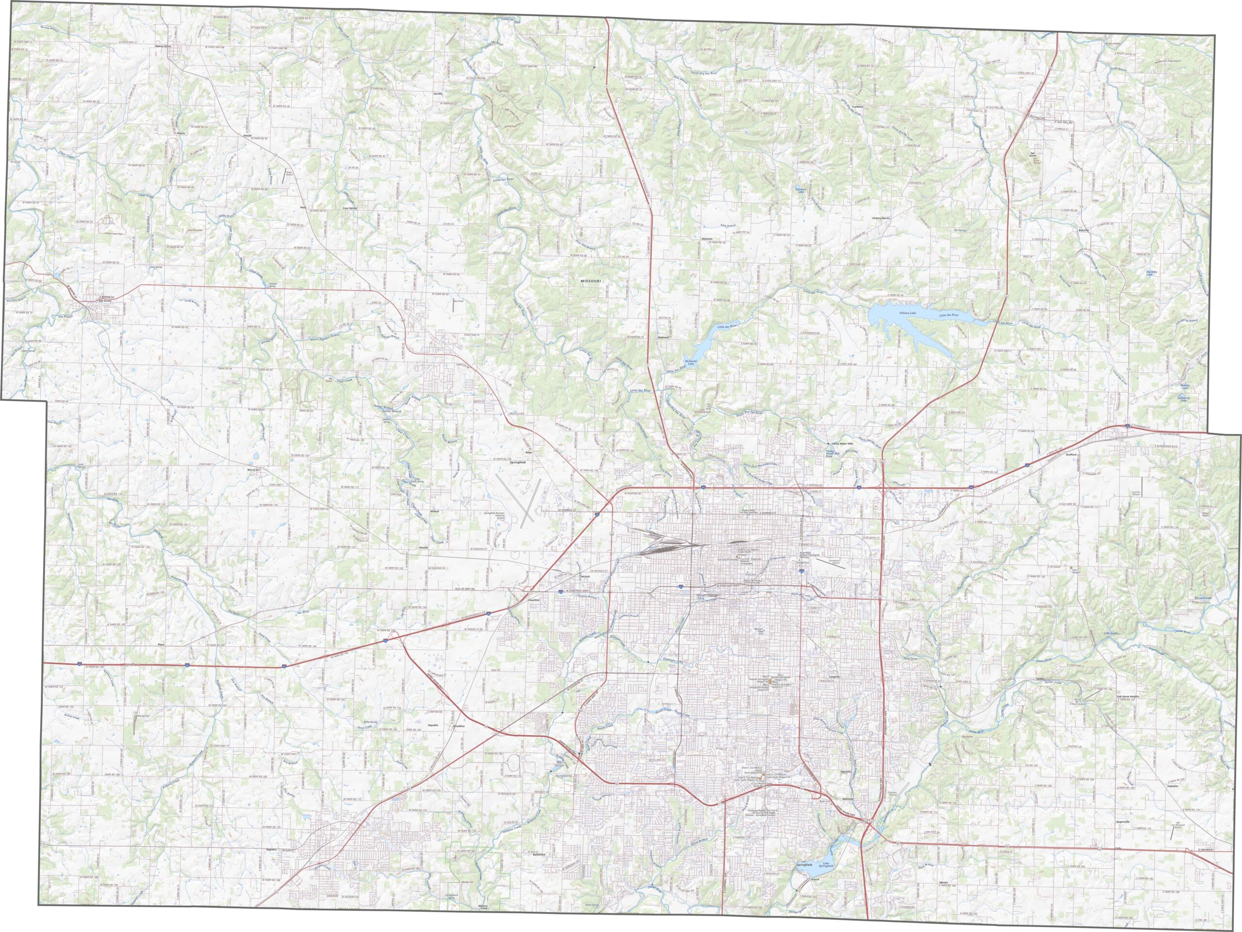
Our satellite map of Greene County shows a splash of gray and green. Springfield dominates the center as a large and obvious sprawl. Farms and fields still ring the city, though they are steadily shrinking.
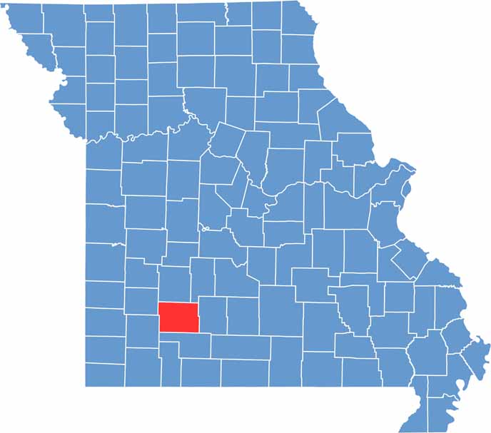
Greene County has a straightforward, rectangular shape, with borders that mostly follow straight survey lines. No major rivers define its edges. Although it sits fairly close to the Arkansas border, the county doesn't touch another state.

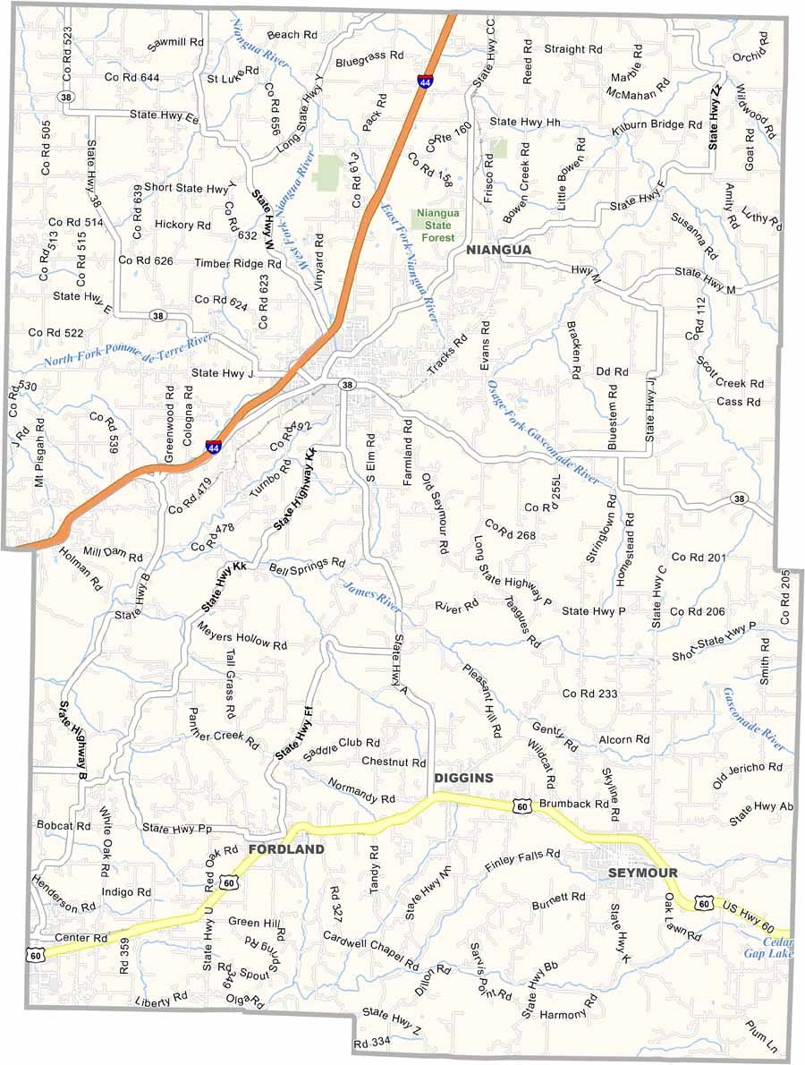
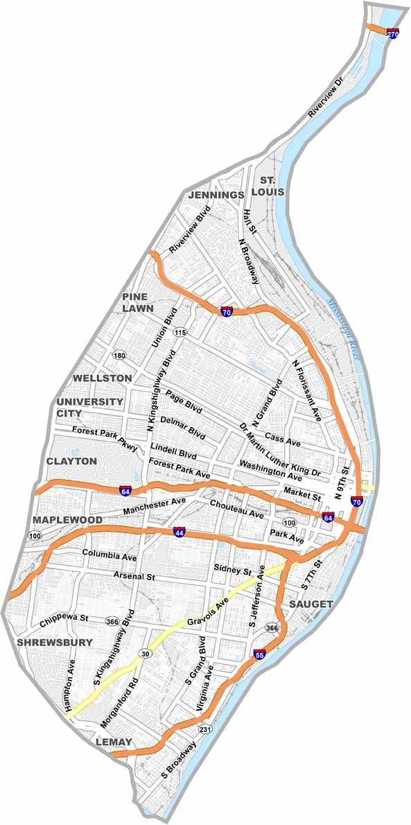
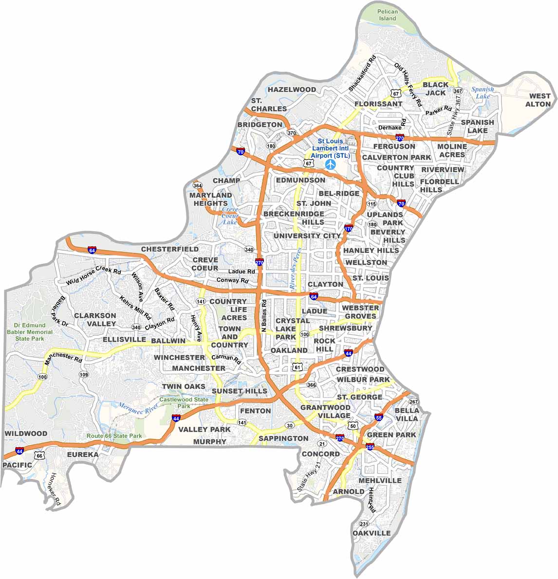
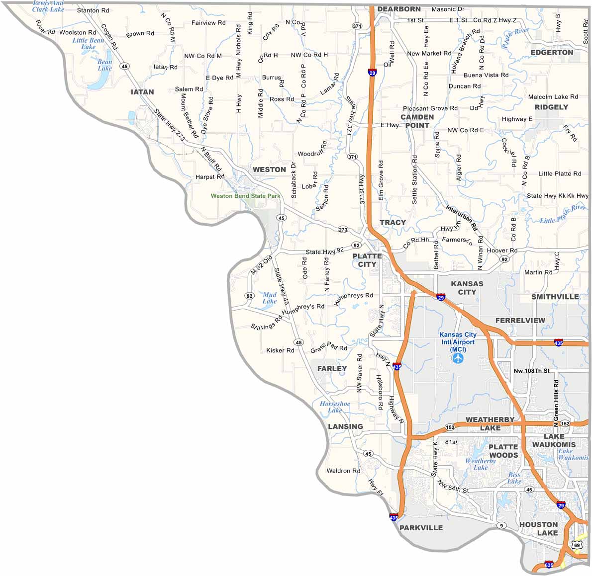

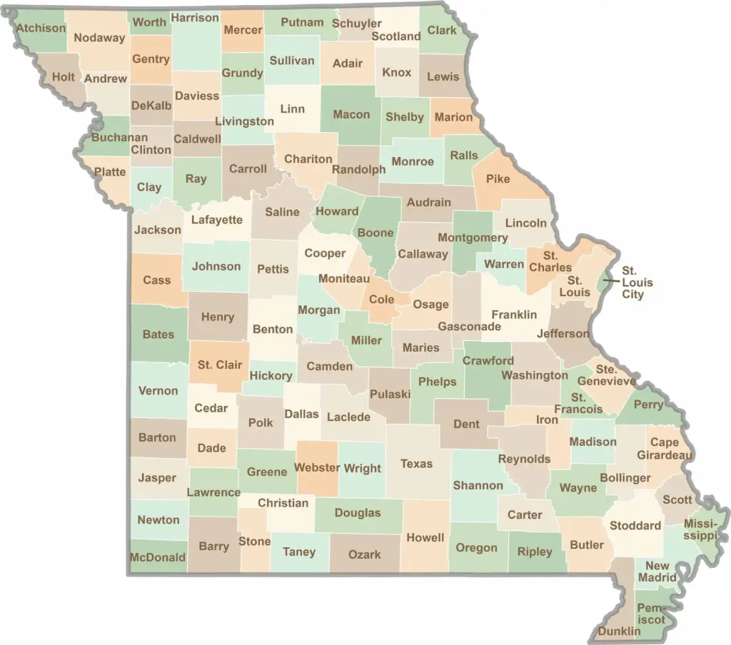
Discover the Show-Me State with our collection of all 114 county maps, your guide to smoky BBQ, Ozark trails, and sunsets over the mighty Mississippi River. From St. Louis to Branson, Missouri has something waiting around every bend in the road.