
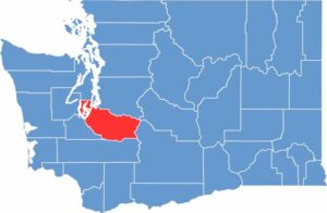
Located just south of Seattle, Pierce County, Washington, offers a diverse blend of vibrant urban communities, scenic rural landscapes, and outdoor adventures. The county is home to Tacoma, Washington’s third-largest city, known for its thriving arts, culture, and waterfront attractions.
The iconic Mount Rainier is one of Pierce County’s most recognizable landmarks. This massive, snow-capped volcano dominates the region’s skyline and attracts hikers, climbers, photographers, and nature lovers throughout the year. However, there is much more to explore beyond the mountain.
History enthusiasts can step back in time at Fort Nisqually, where restored 19th-century buildings showcase the region’s fascinating past. Car enthusiasts will enjoy visiting the LeMay – America’s Car Museum, home to an impressive collection of classic and historic automobiles. Pierce County also features beautiful parks, outdoor recreation, and a renowned glass art scene that adds to its unique cultural identity.
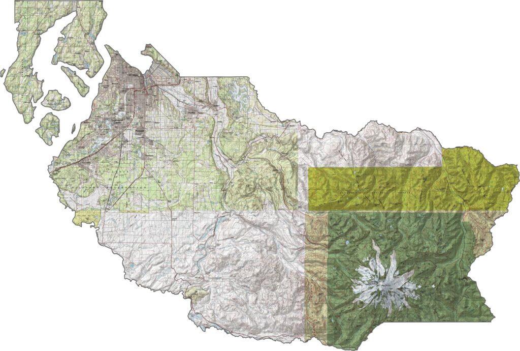
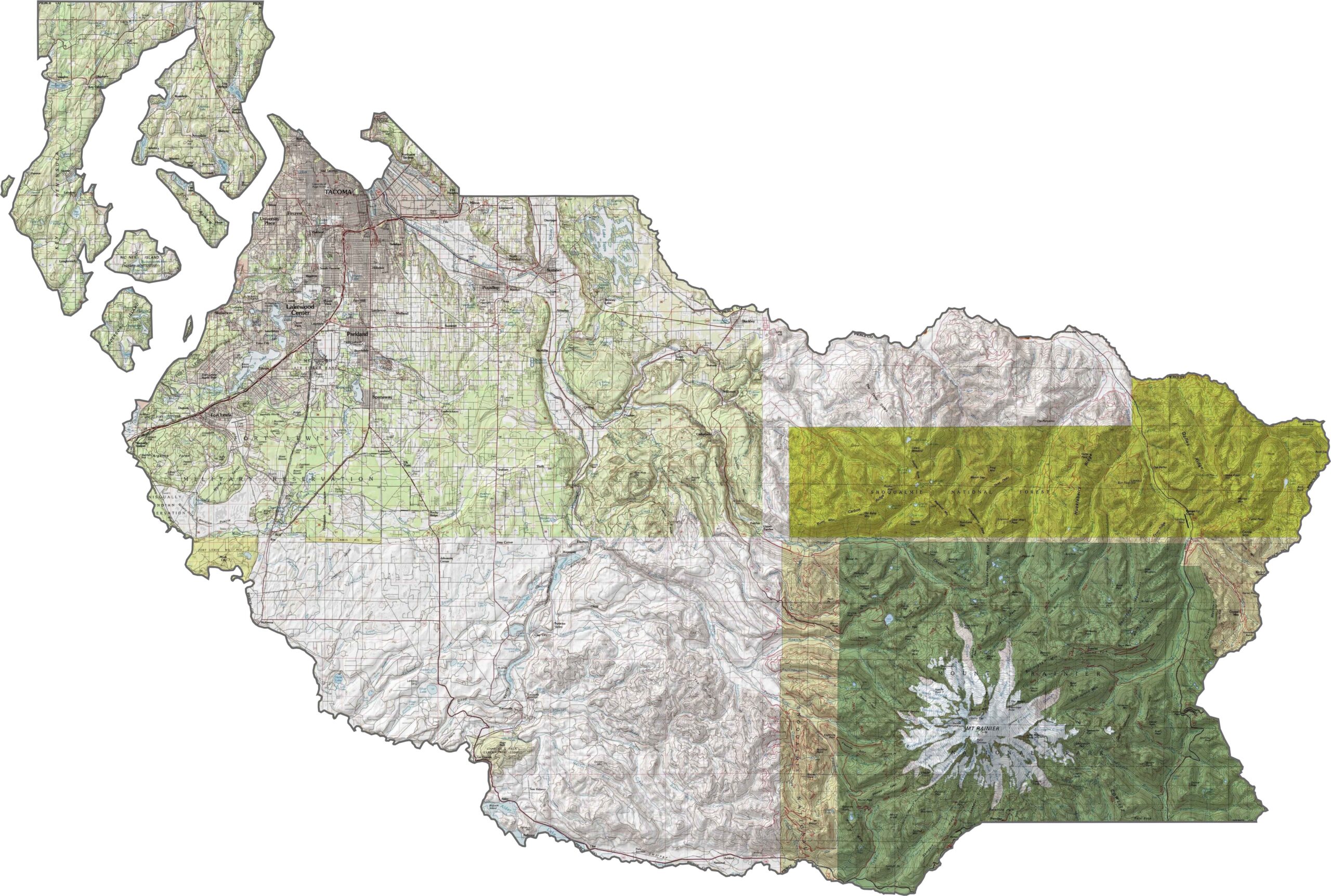
The Pierce County topographic map showcases the region’s diverse terrain, dominated by the towering presence of Mount Rainier, which rises more than 14,000 feet above sea level. The southeastern part of the county features dramatic alpine landscapes, including glaciers, rugged ridgelines, and high-elevation terrain. Moving west, the landscape gradually transitions into scenic river valleys and rolling hills, with tidal flats and coastal areas near Puget Sound.
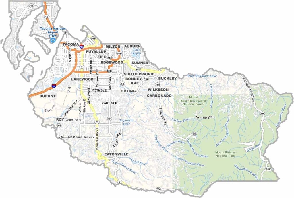
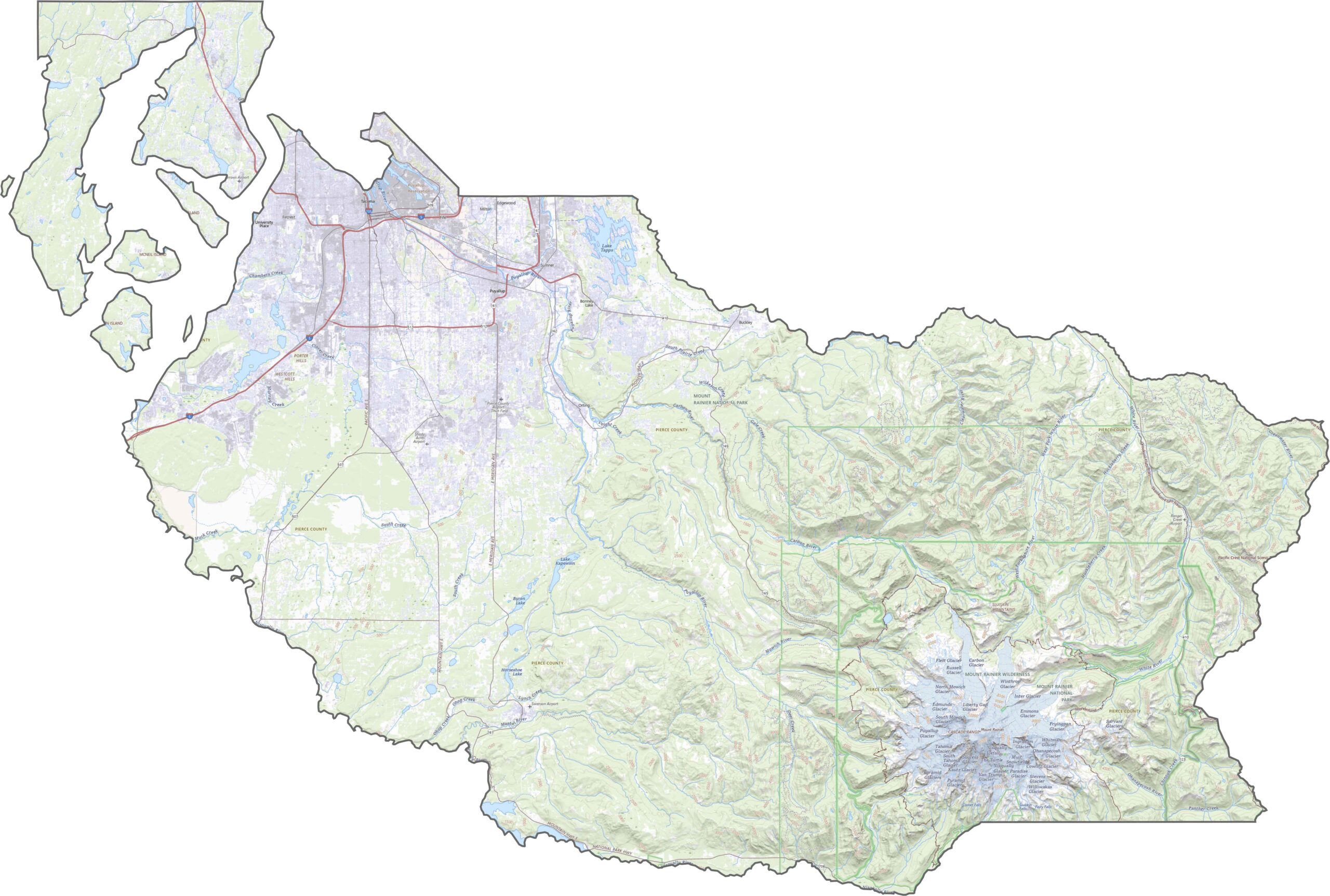
The Pierce County road map highlights the major transportation routes connecting the region. Interstate 5 (I-5) runs through the western part of the county, linking Tacoma with Seattle and Olympia. Additional routes, including I-705 and State Route 512, provide important connections throughout the area, although traffic can become heavy in urban sections. Farther east, road networks become less dense, transitioning from busy freeway corridors to winding mountain roads. Use our zoom tool to explore this change in transportation infrastructure across Pierce County.
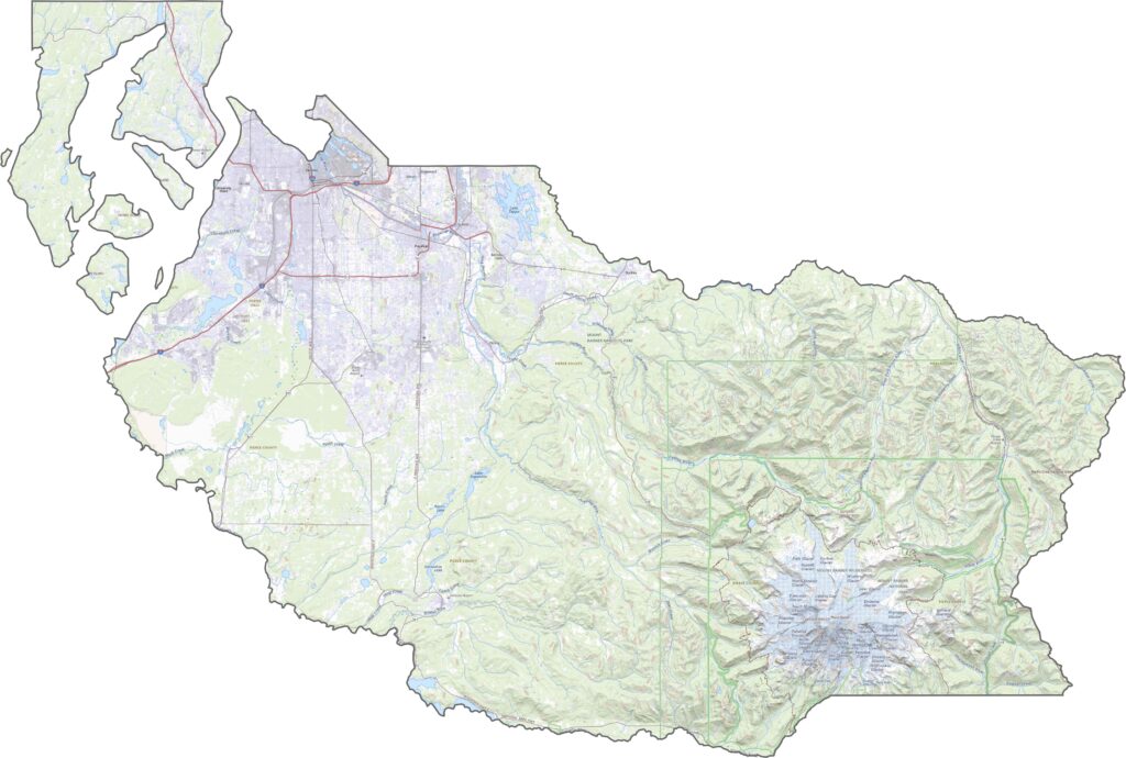
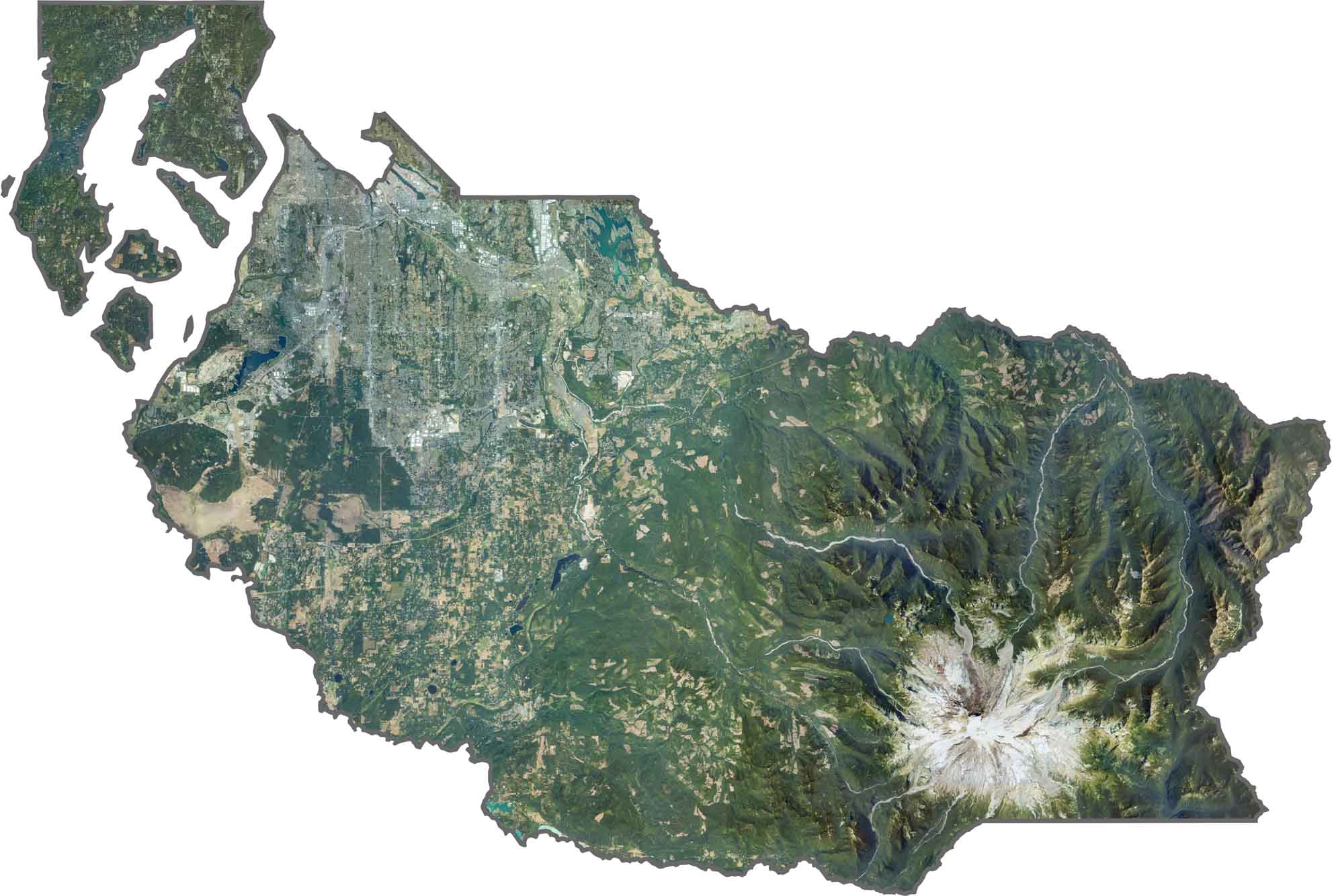
The Pierce County satellite map reveals a striking contrast between urban development and natural landscapes. Dense development is concentrated around the western portion of the county, with Tacoma's extensive street grid clearly visible from above. As you move farther inland, the landscape becomes increasingly green and rural. The snow-covered summit of Mount Rainier is one of the region's most prominent natural features and stands out dramatically in satellite imagery.
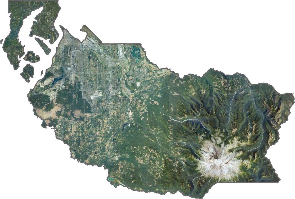
Pierce County stretches broadly across western Washington before narrowing eastward into the Cascade Mountains. The Greenwater River and Nisqually River help define parts of the county’s landscape and borders. Although Pierce County does not share a boundary with another state, it extends from the shores of Puget Sound to the rugged wilderness surrounding Mount Rainier National Park, offering a remarkable variety of coastal, rural, and mountain scenery.








Seattle may get most of the attention, but the rest of Washington State is where adventure truly comes alive. From rugged Pacific coastlines and lush forests to towering mountains and charming rural communities, all 39 counties in Washington offer something unique to discover. Explore the state’s diverse landscapes, uncover hidden gems, and find your favorite destination in the Evergreen State.