
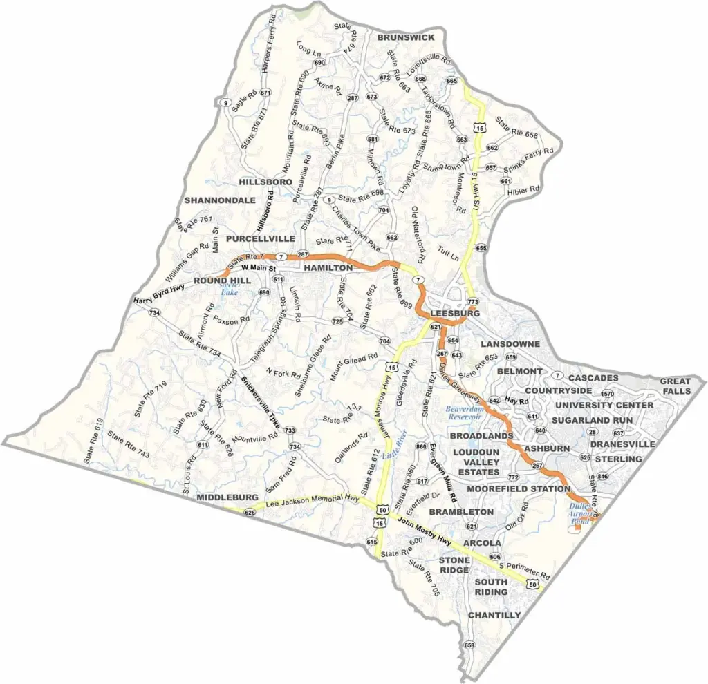
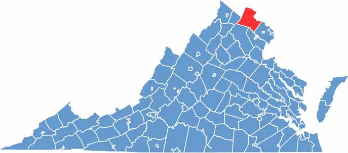
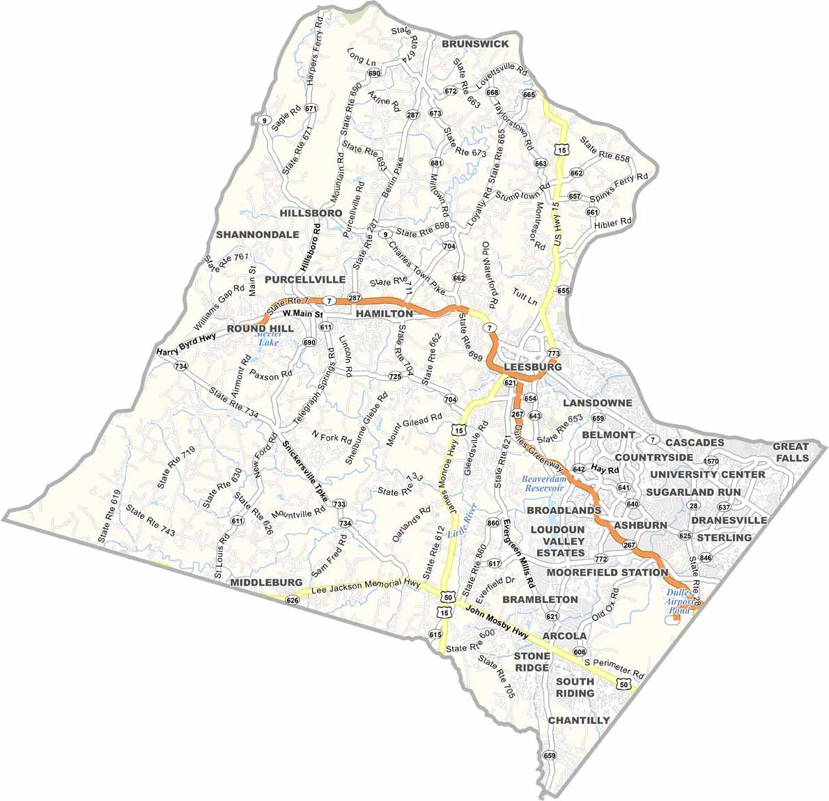
Loudoun County is located just a short distance from Washington, D.C. Leesburg serves as the county seat. Money flows freely here, as it’s one of the wealthiest counties in the nation. That wealth is reflected in the schools, which are considered top-notch.
The eastern half is largely suburban, with cookie-cutter homes and strip malls. Head west, though, and you’ll find horse country, complete with rolling hills, historic estates, and plenty of wineries.
Loudoun County is also a major tech hub. Data centers fill nondescript warehouses, helping power much of the internet. Traffic can be a nightmare, especially along Route 7. Still, many people enjoy the combination of high-powered jobs and a quiet piece of countryside to come home to.
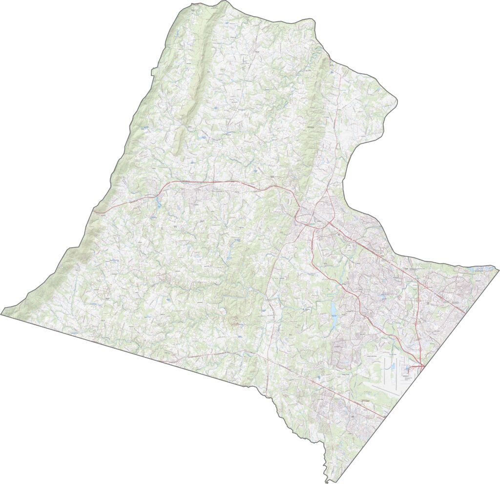
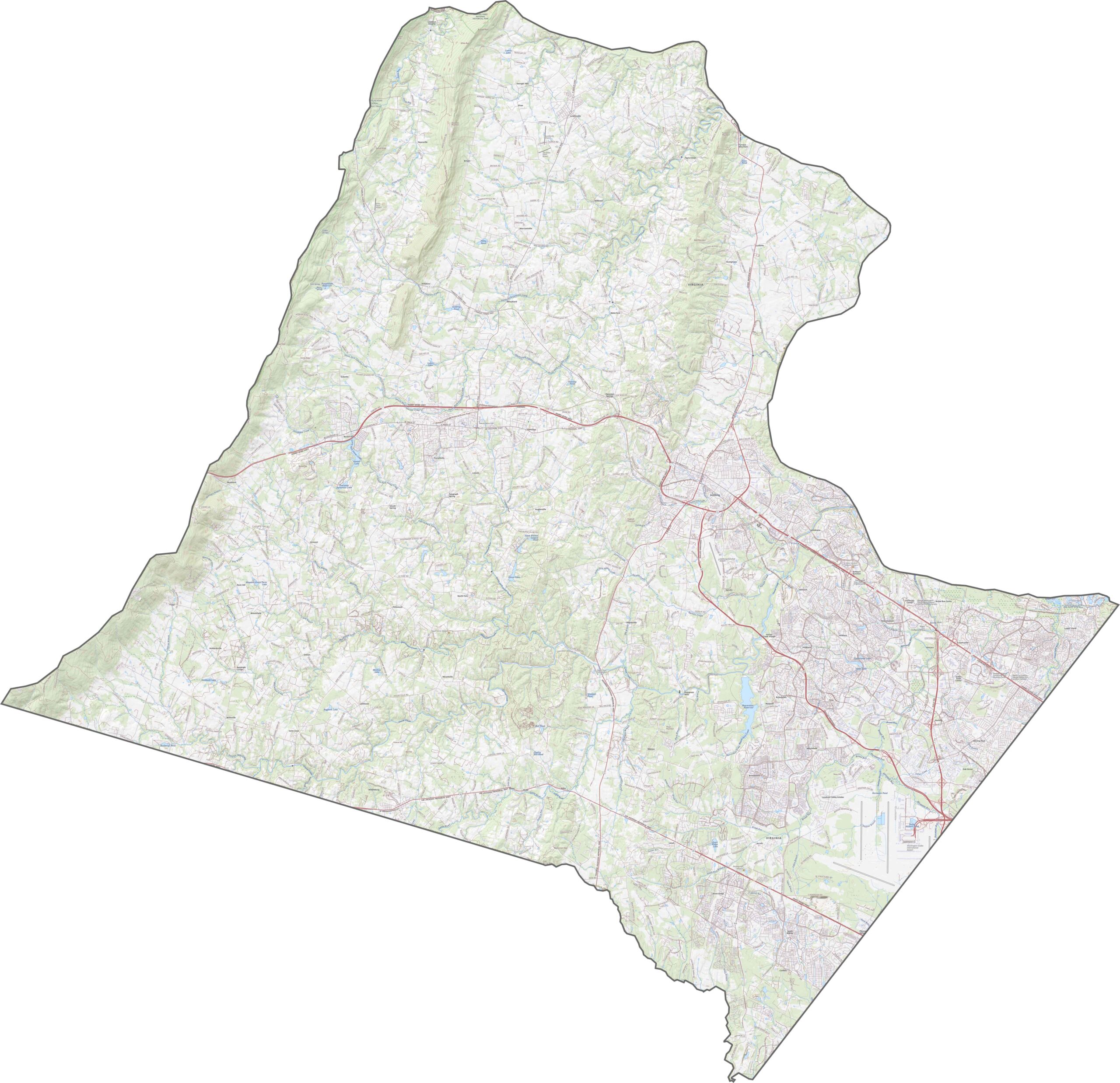
Despite its rolling hills, Loudoun County has an extensive road network. The Dulles Greenway is a key highway, connecting Leesburg with areas farther east. Traffic generally becomes lighter as you travel west. Use our zoom tool to see how the road density changes across the county.
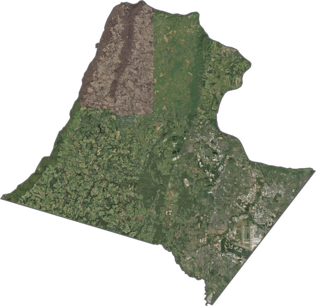
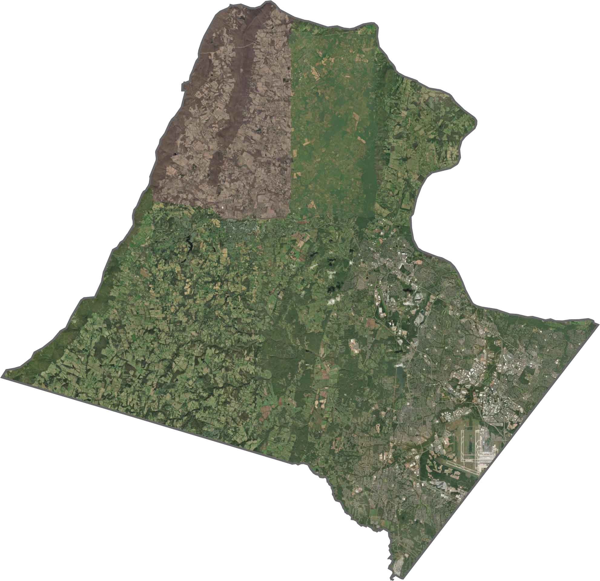
The satellite view shows a clear divide across Loudoun County. Dense urban development covers much of the eastern half, while farmland, open fields, and forests dominate the west. Dulles Airport stands out as a large gray area in the southeast and is hard to miss.
Loudoun County has a shape that resembles a tilted letter “L.” The Potomac River forms the northern border, separating it from Maryland. The county also reaches West Virginia along its northwestern edge.


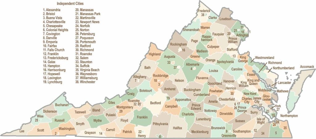
Virginia’s 95 counties bring together old-school roots, winding mountain roads, and Civil War history. One county is known for peanuts, another for presidents. Some feel distinctly rural, while others sit closer to the action around the nation’s capital.